'Places mentioned in the books'
1.Coldfall Woods - London
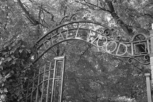
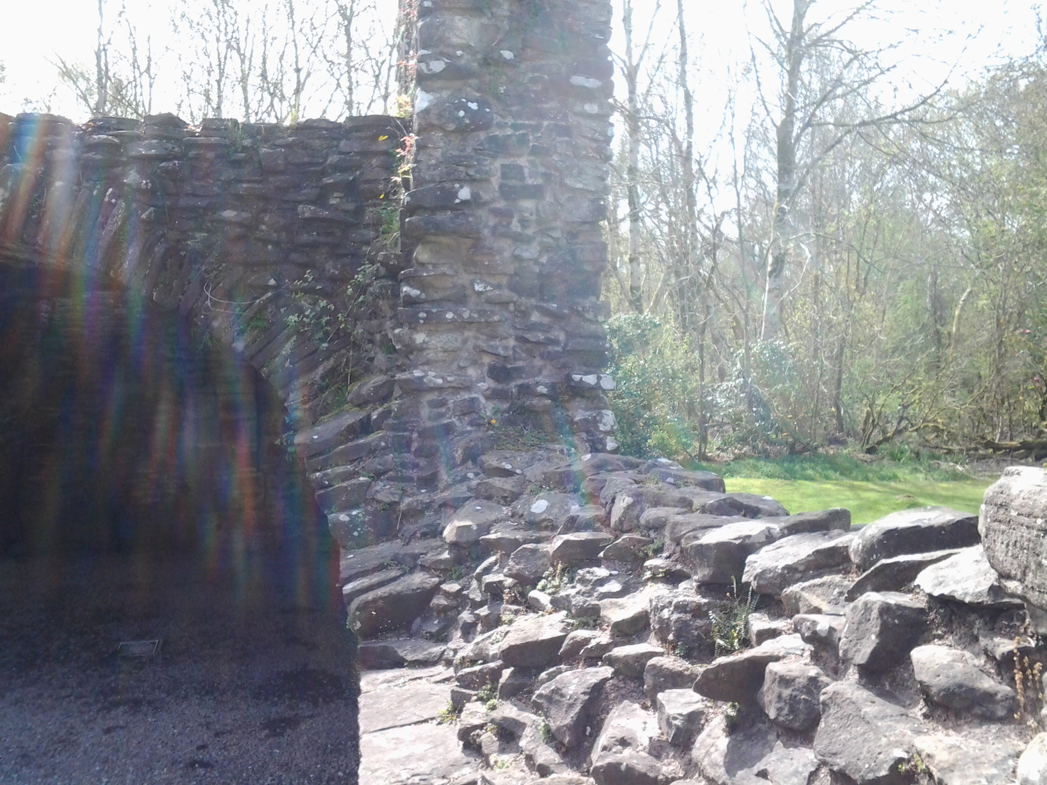
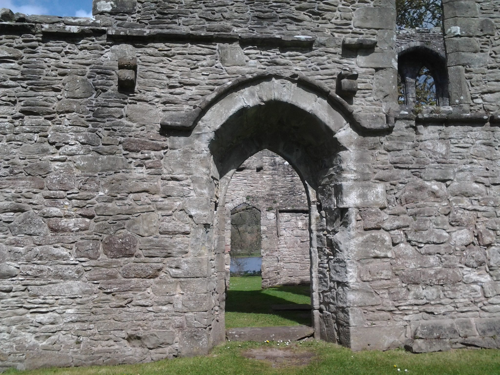
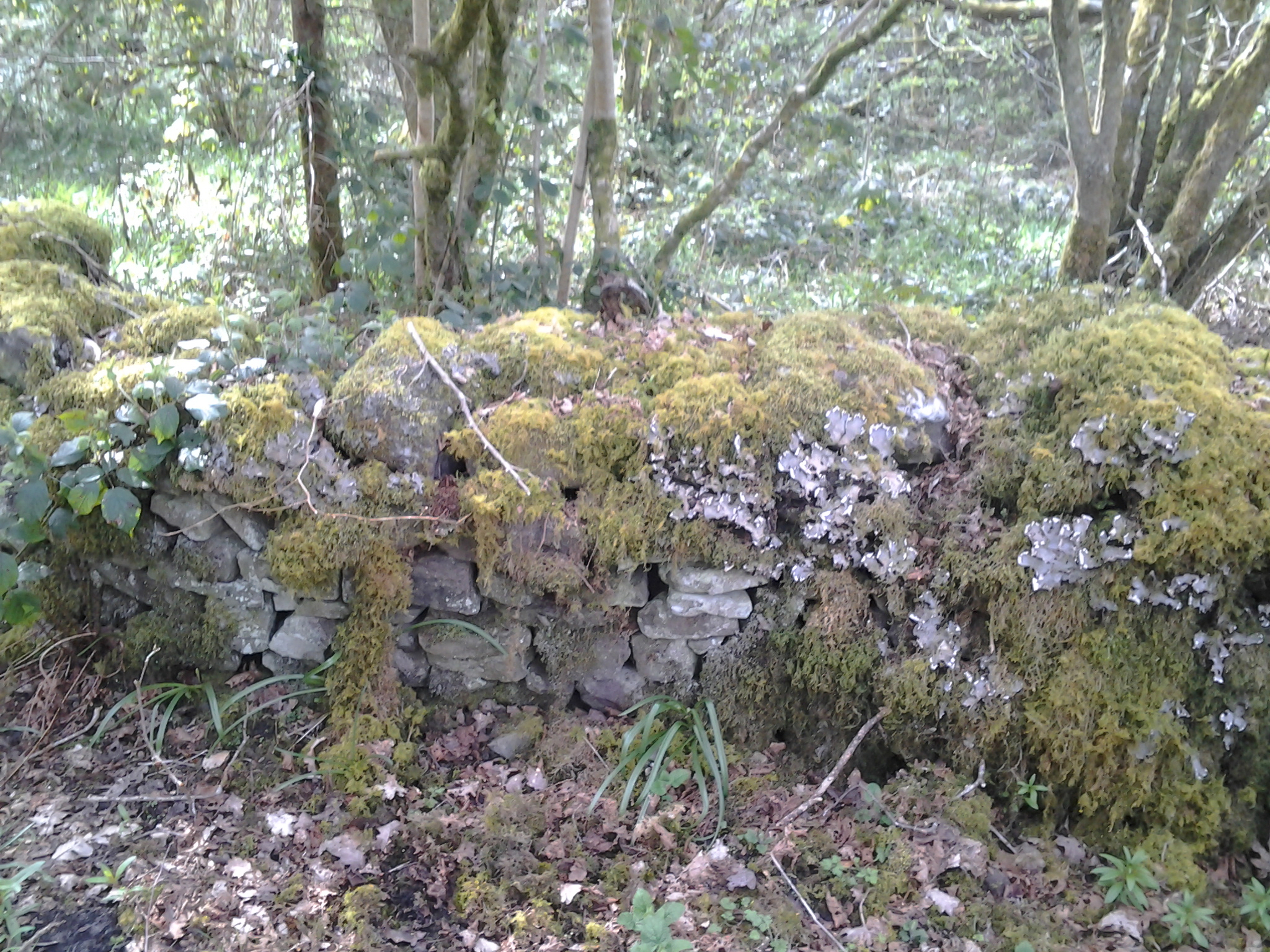
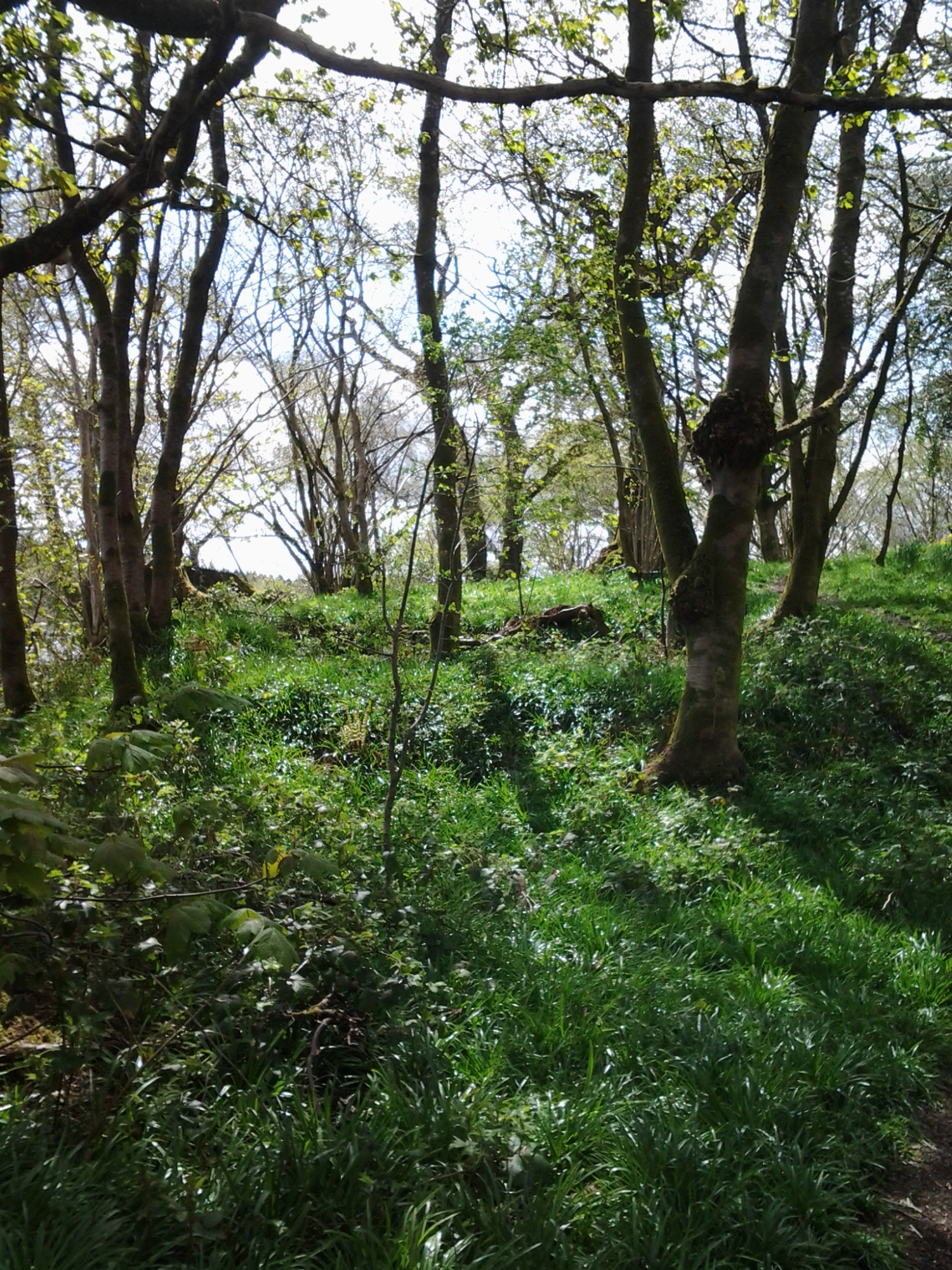
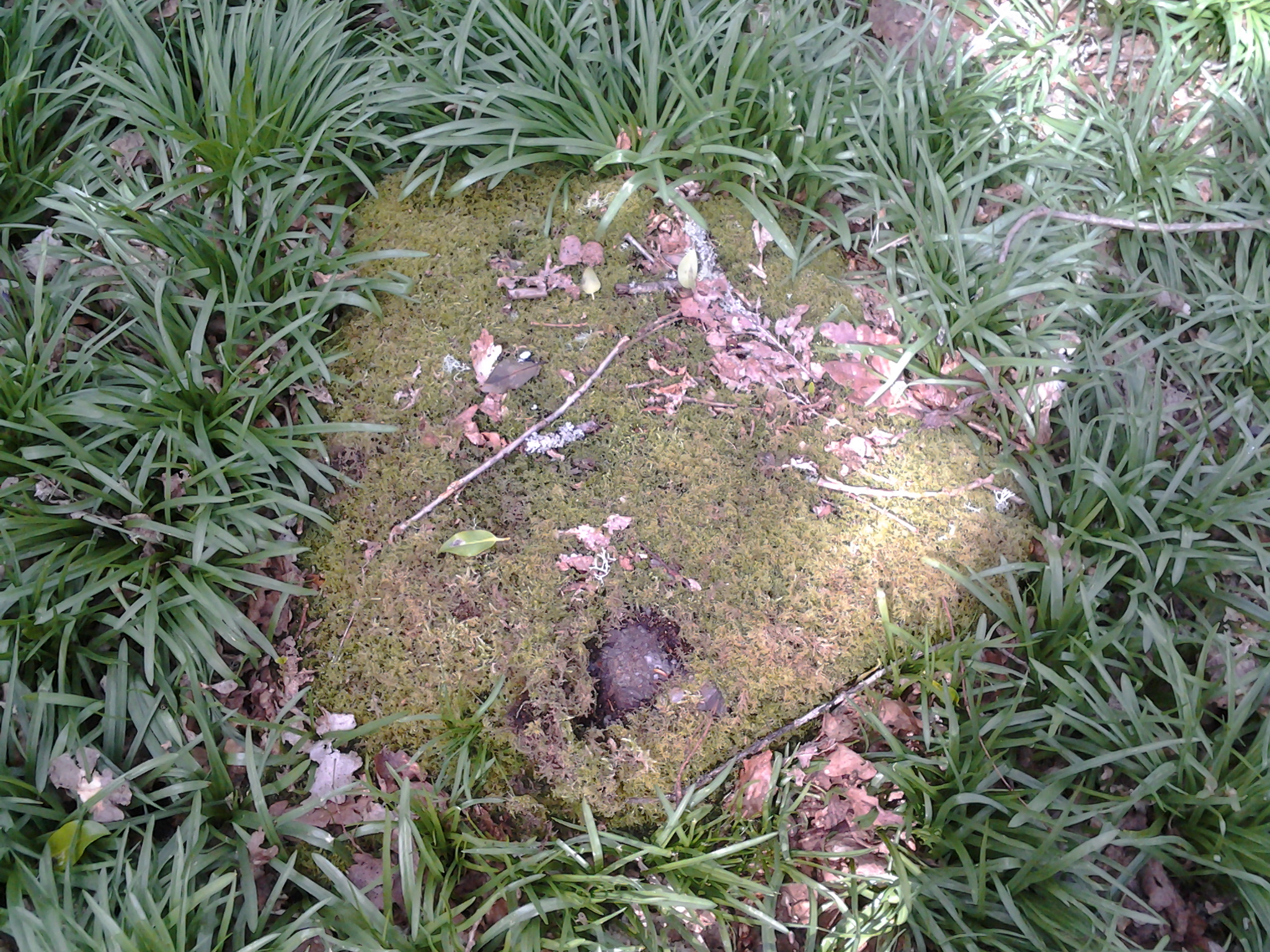
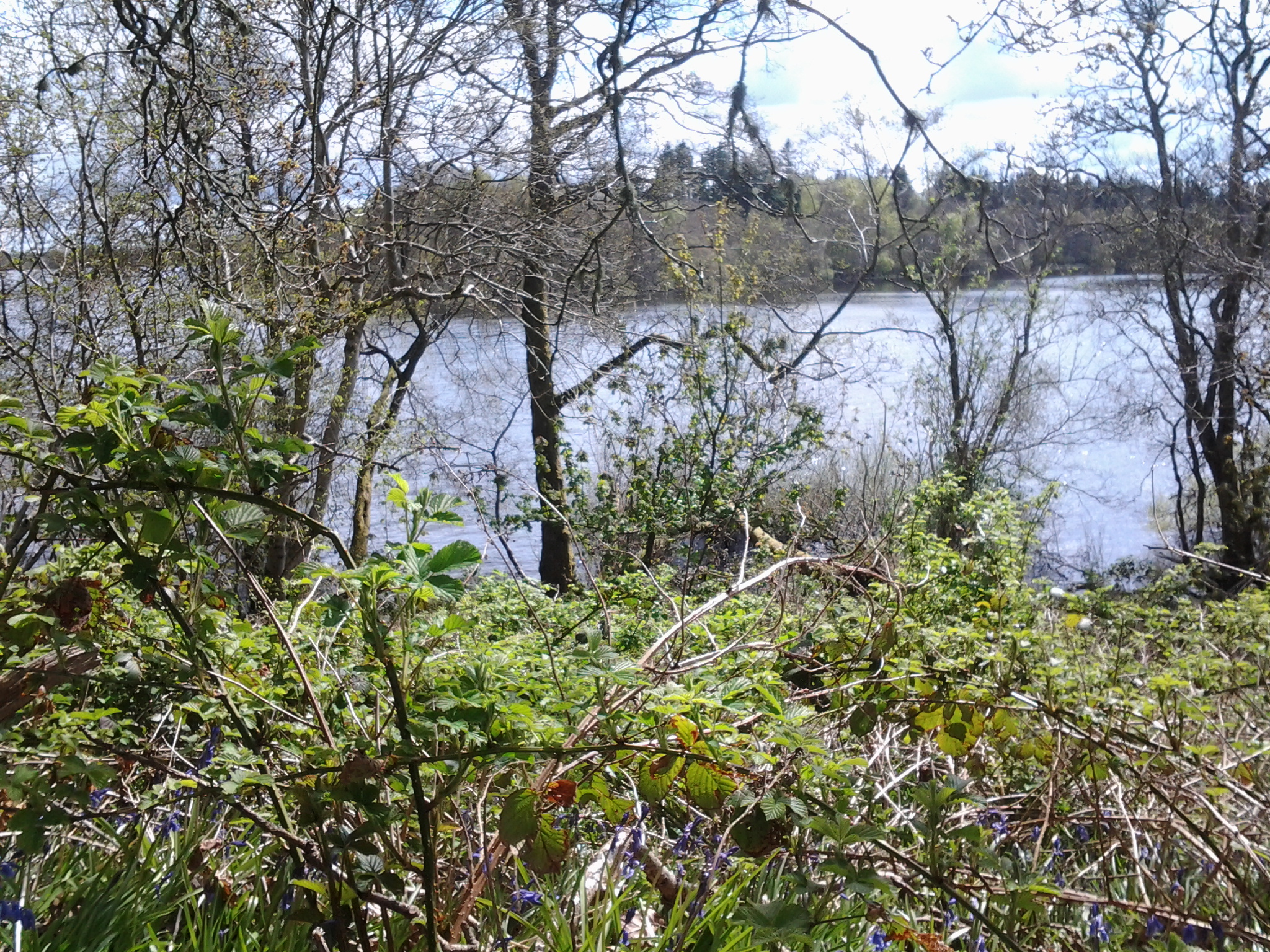
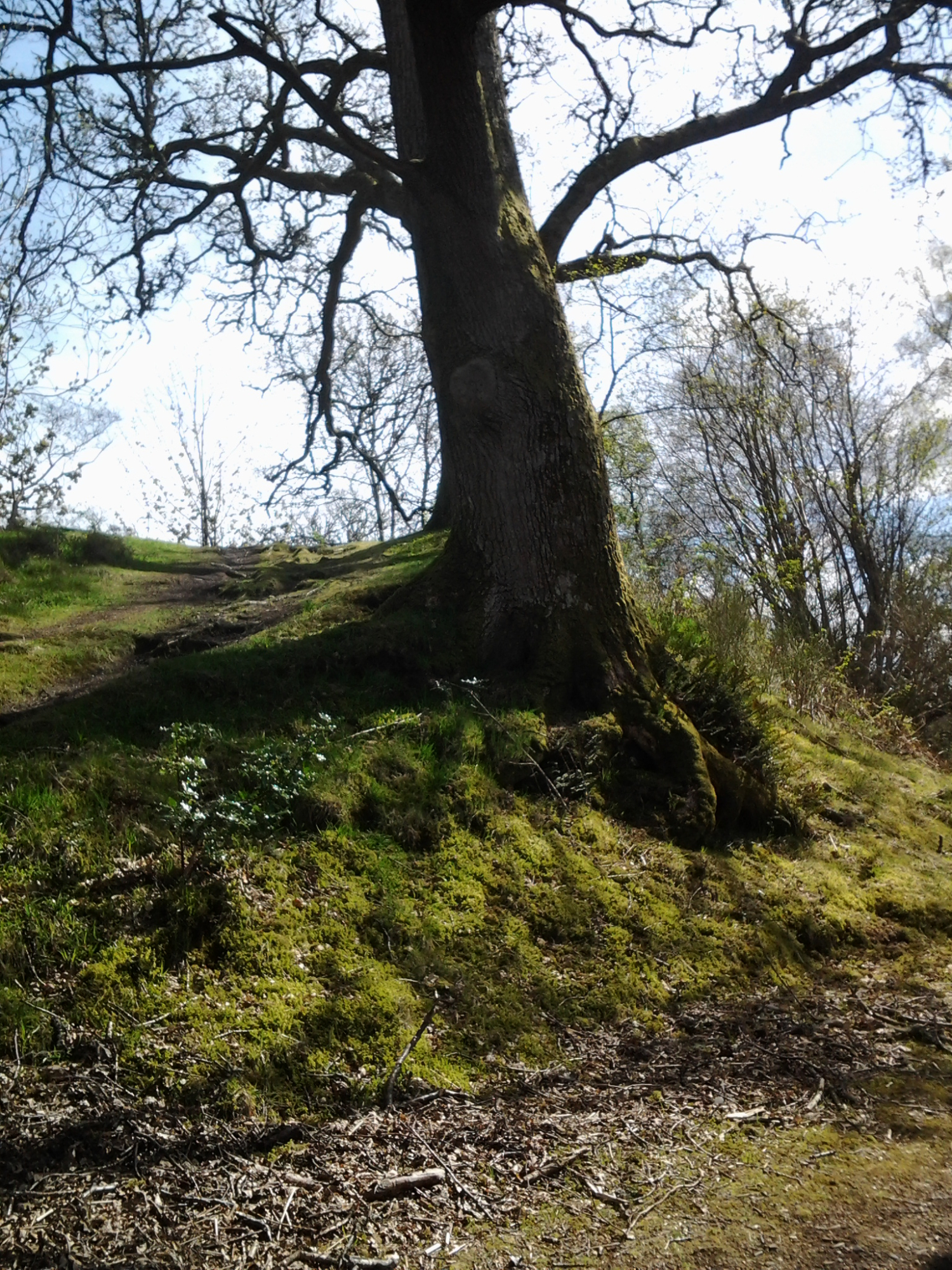
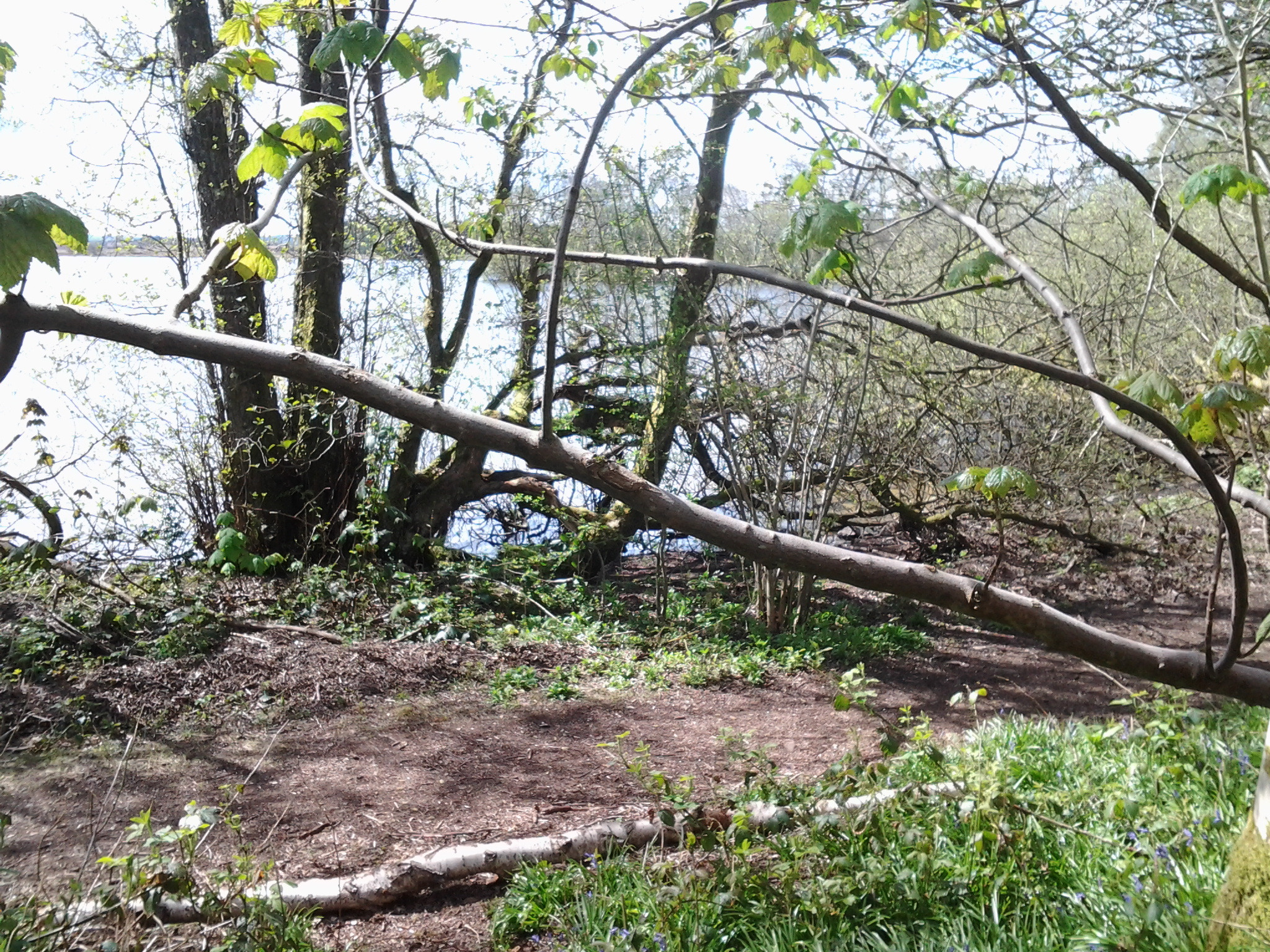
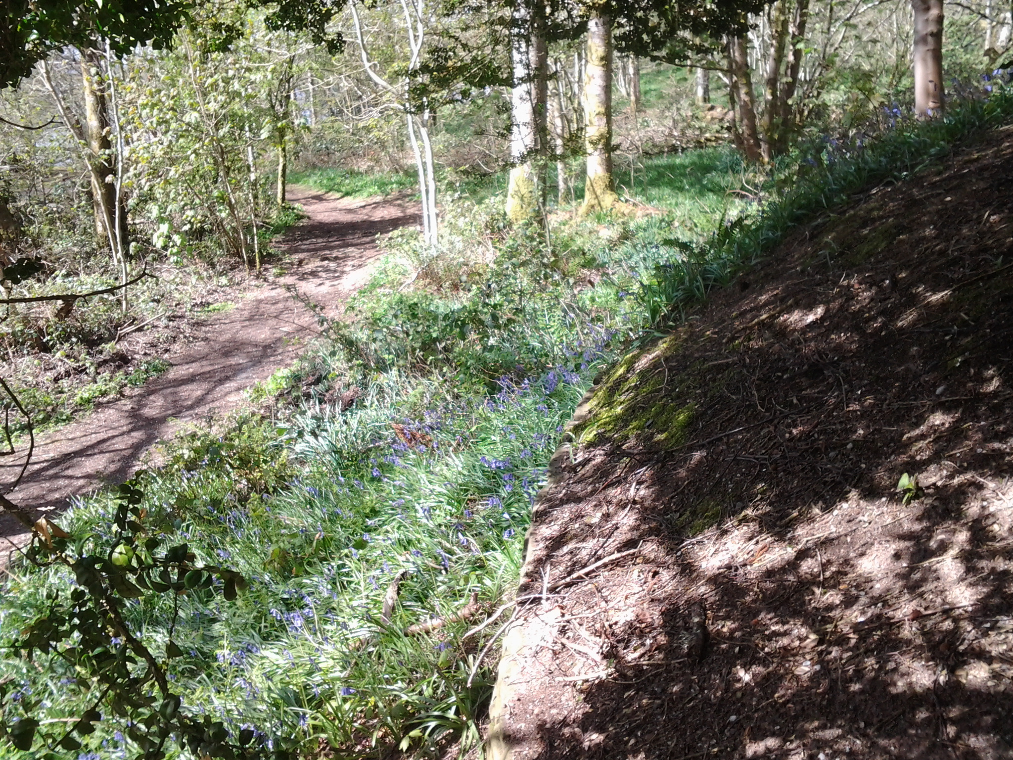
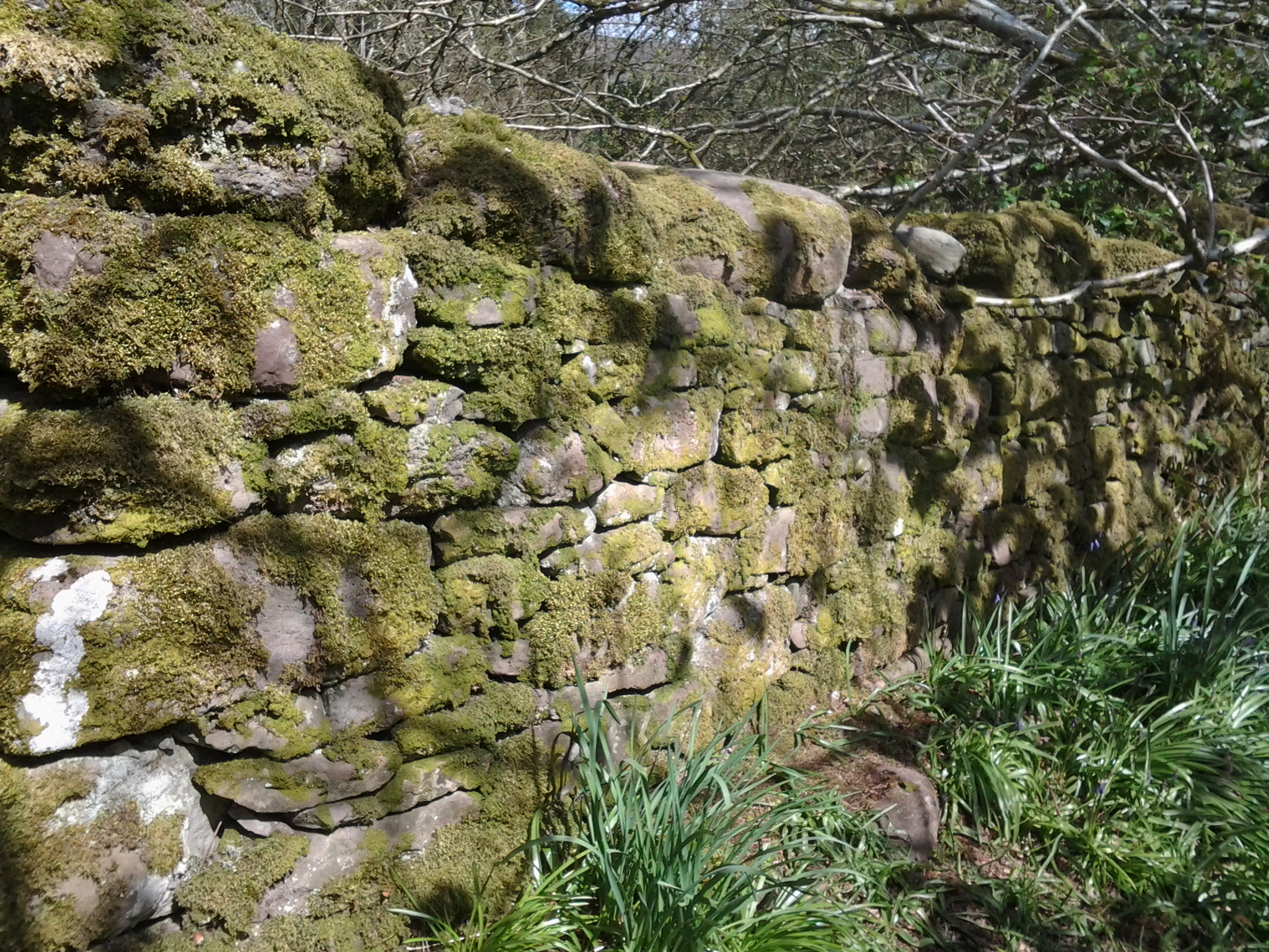
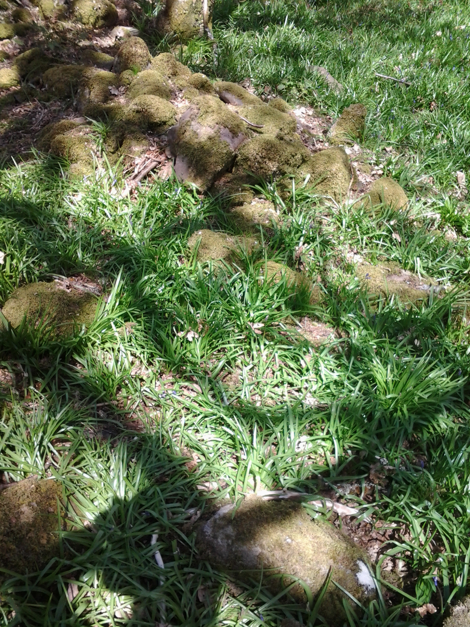
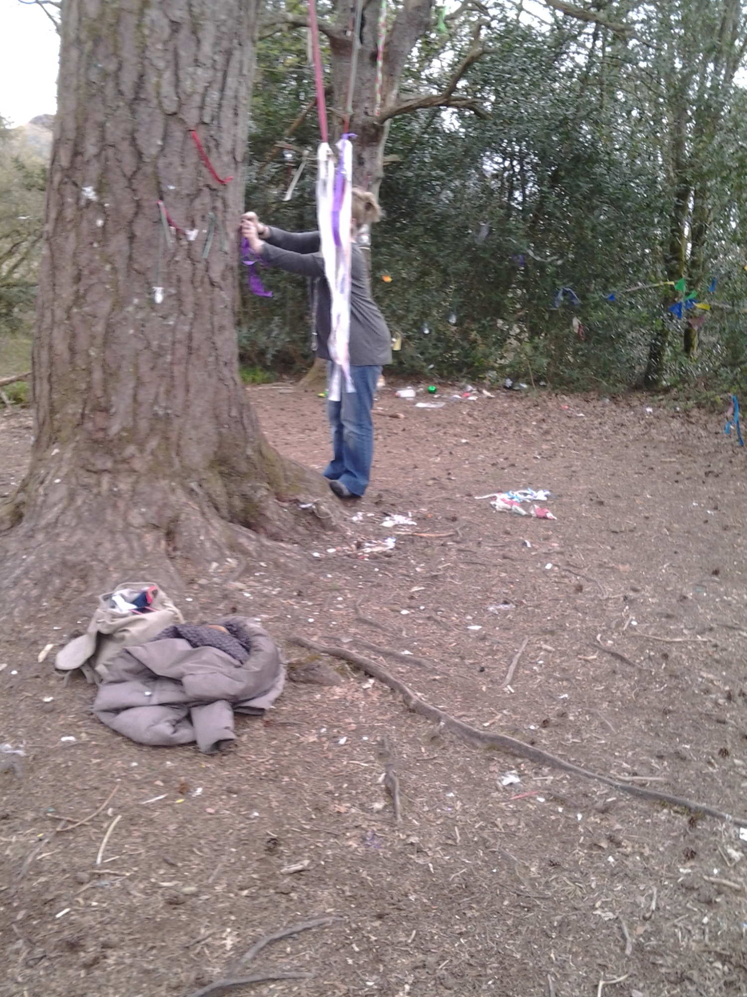
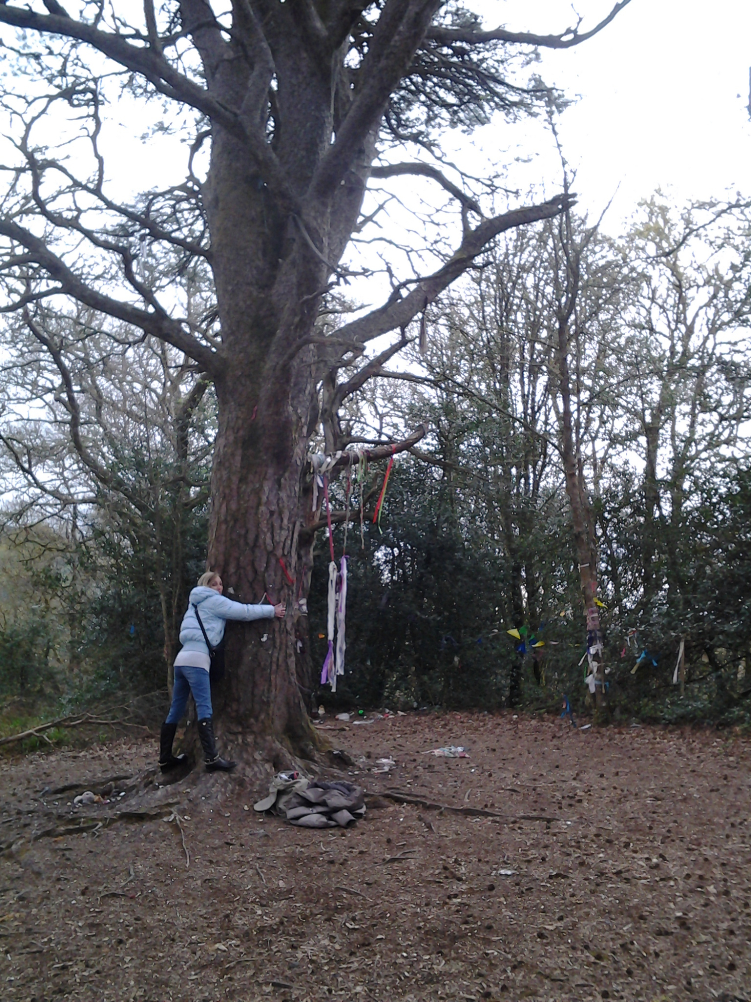
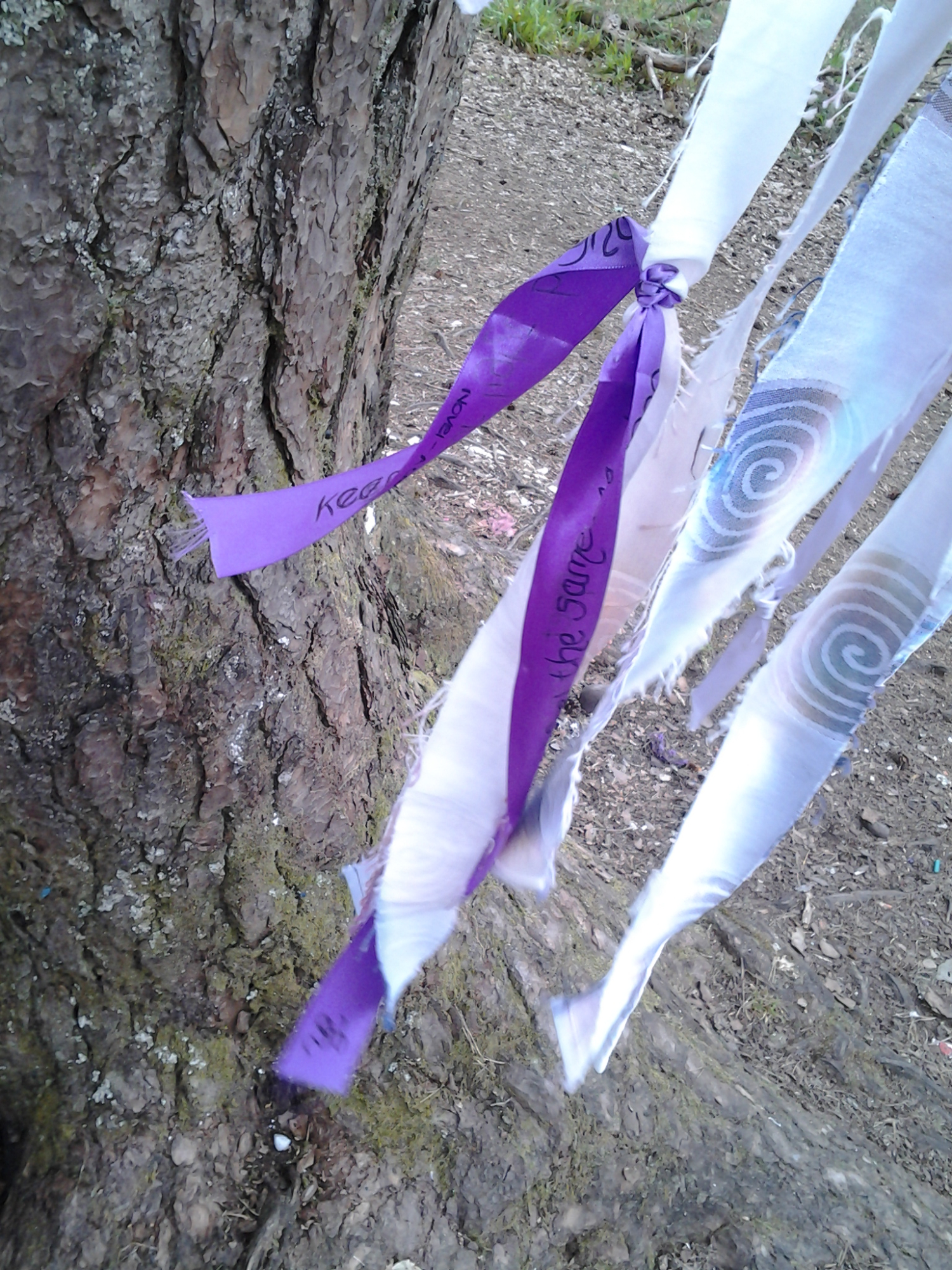
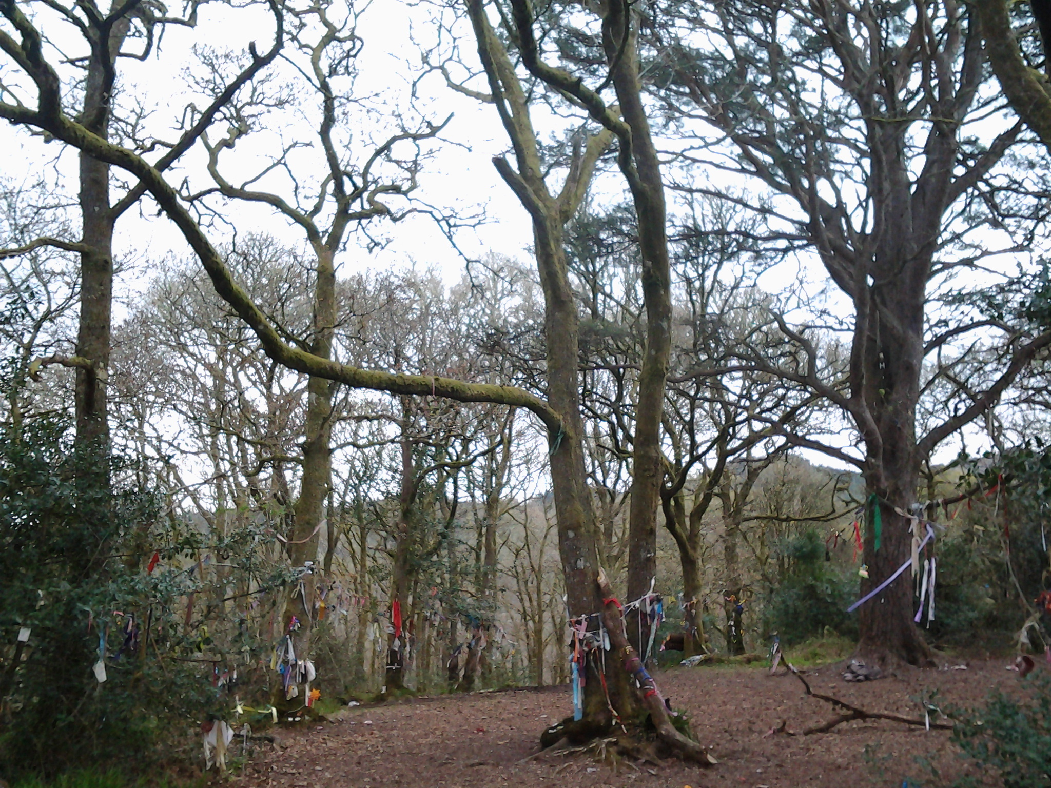
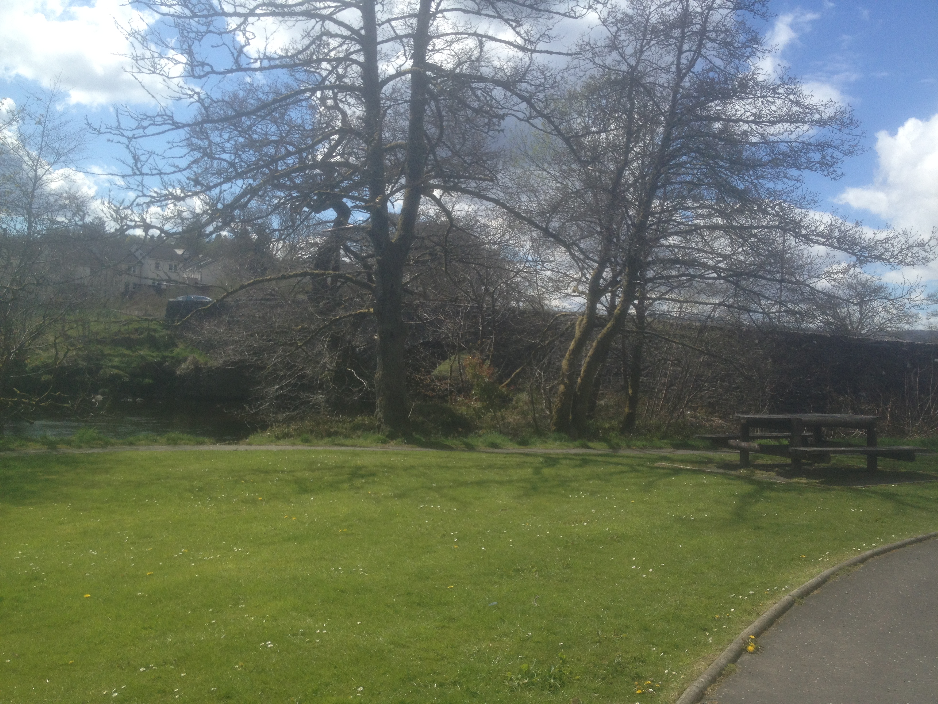
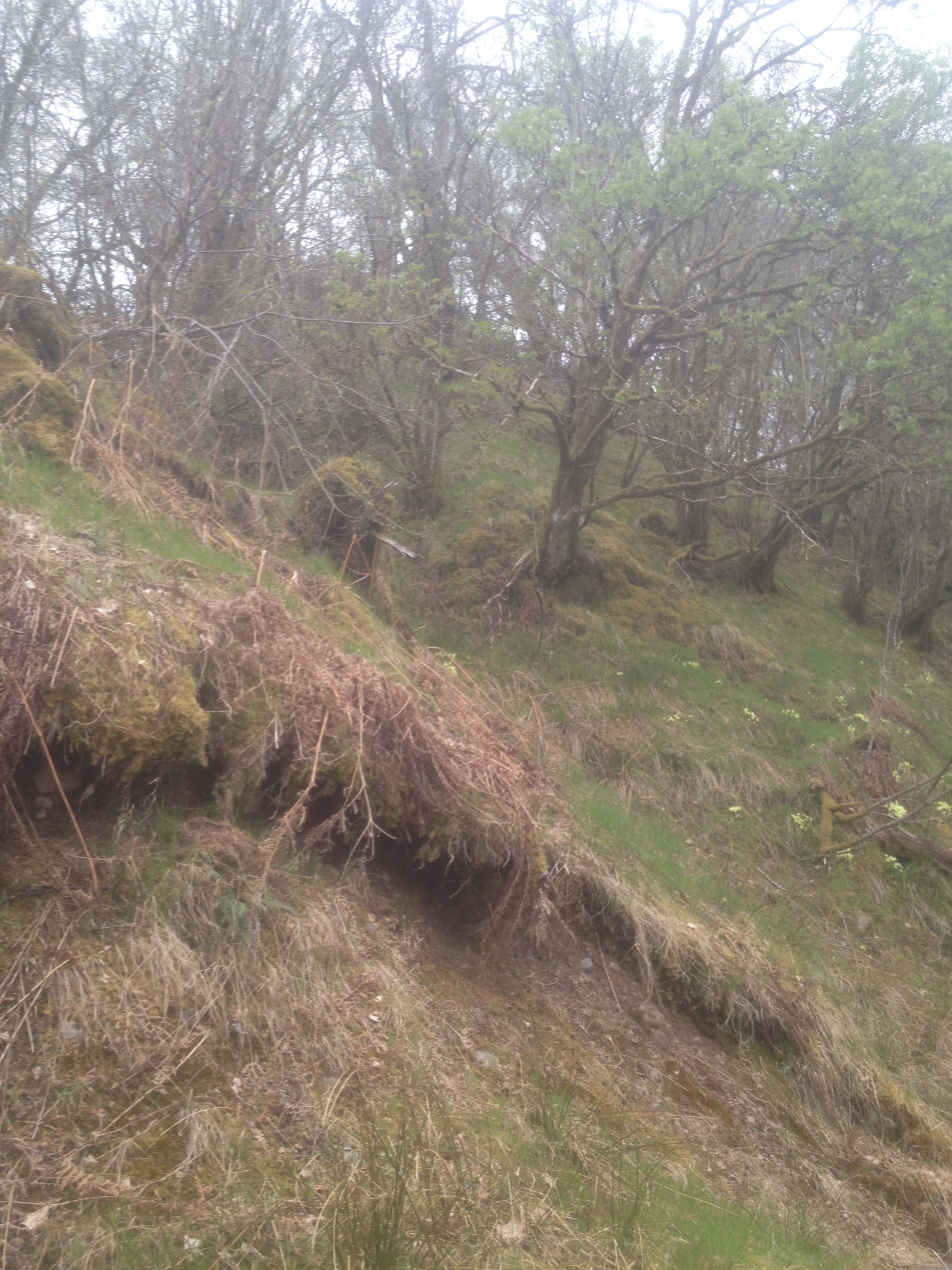
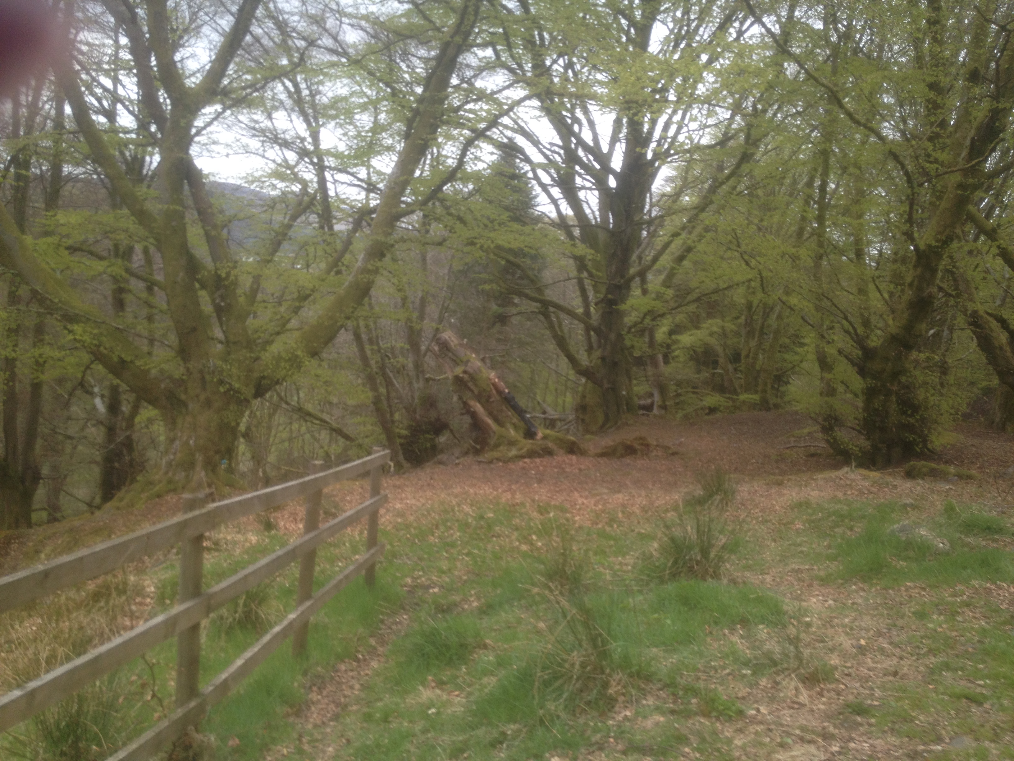
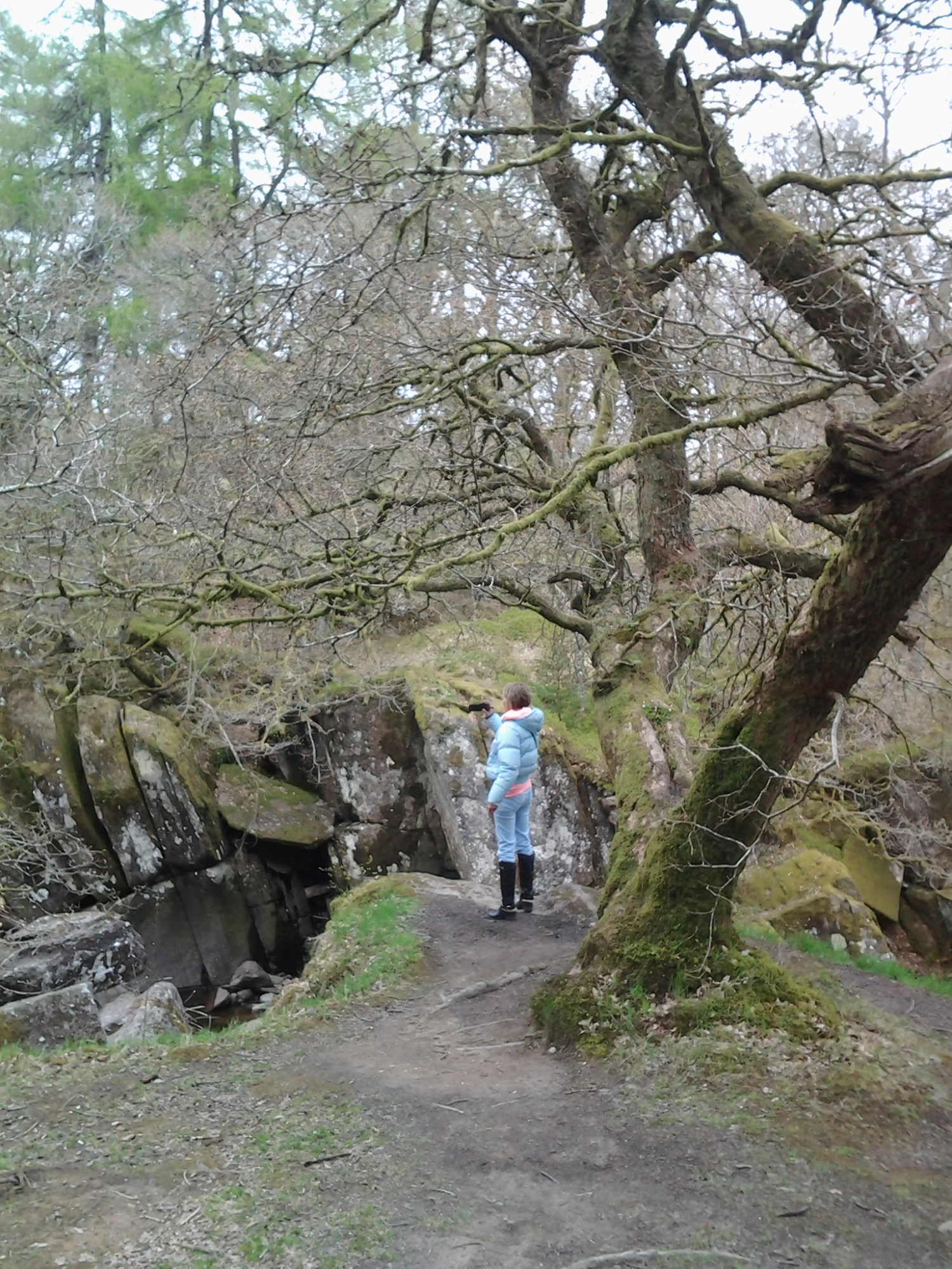
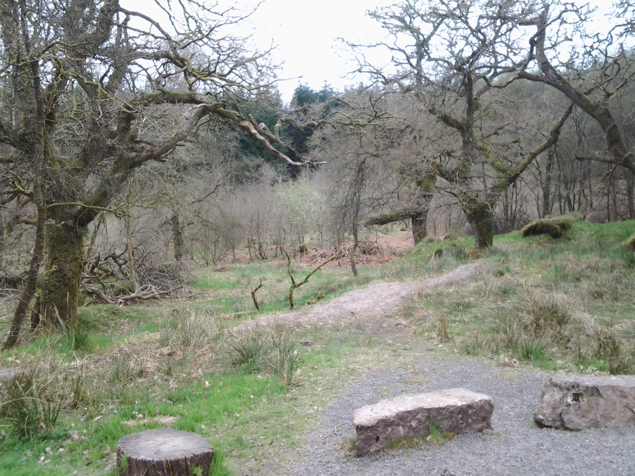
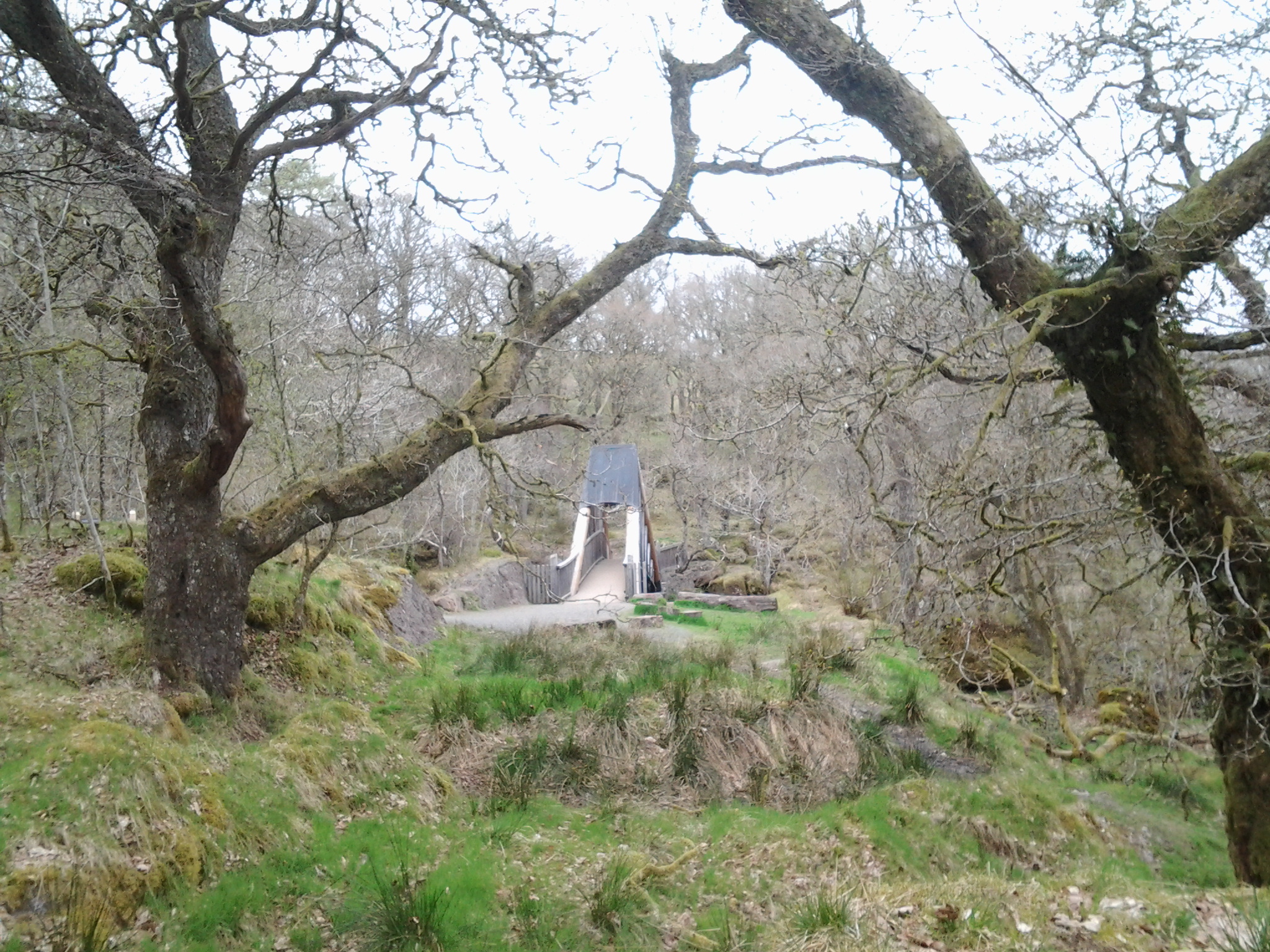
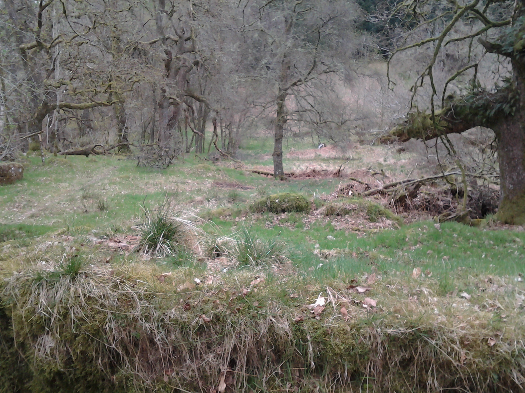
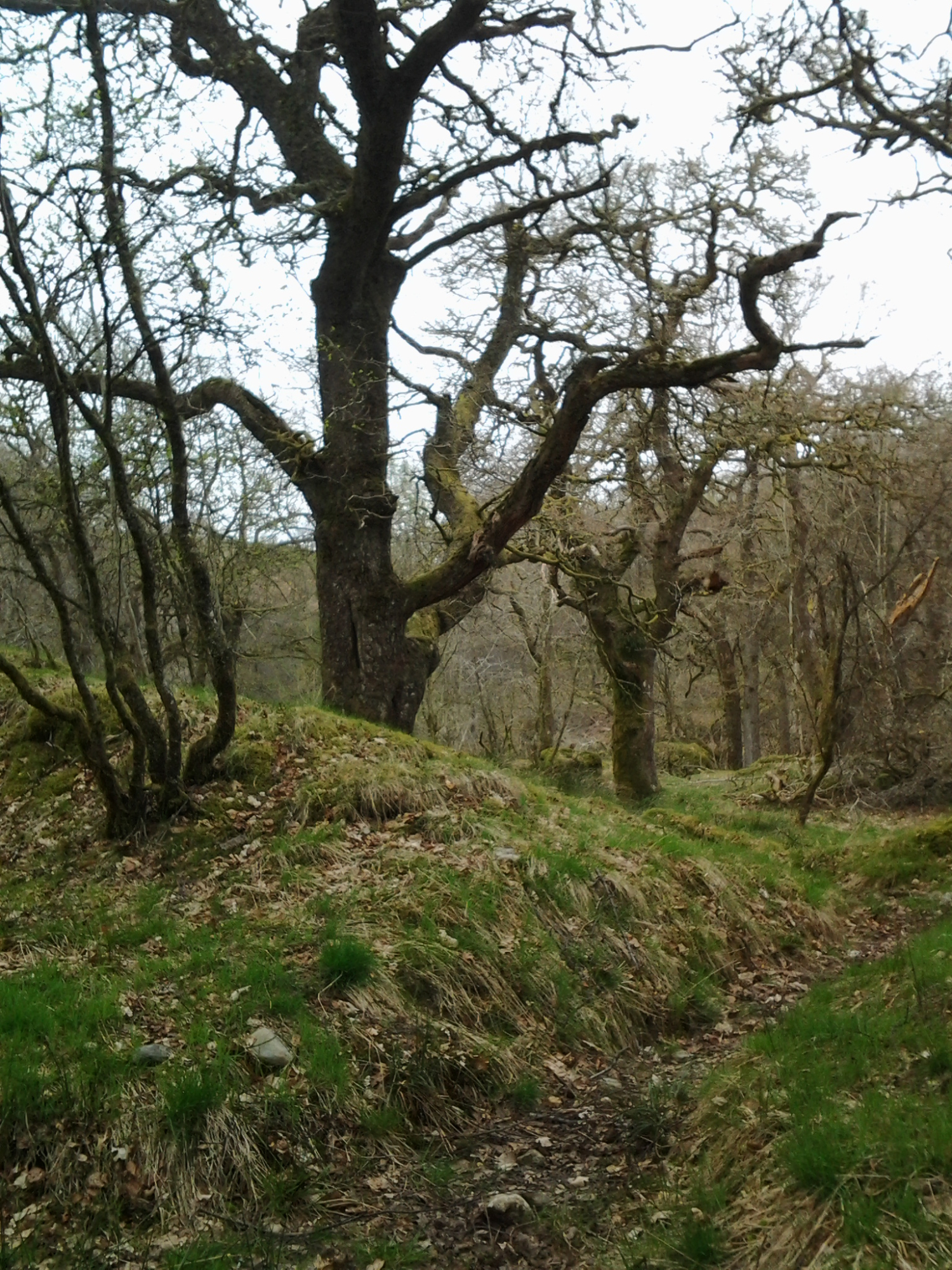
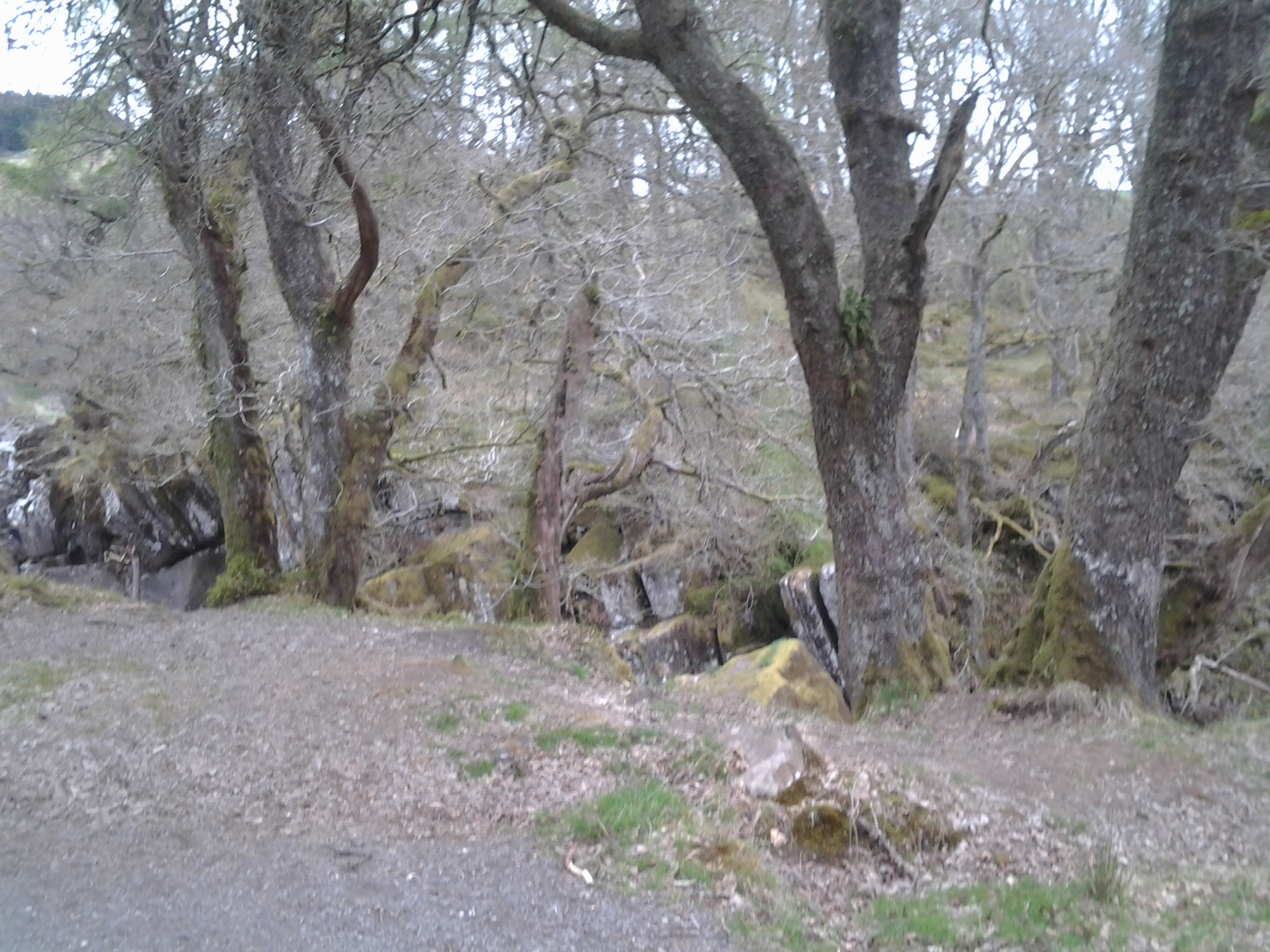
Above: Southern entrance to Coldfall Wood
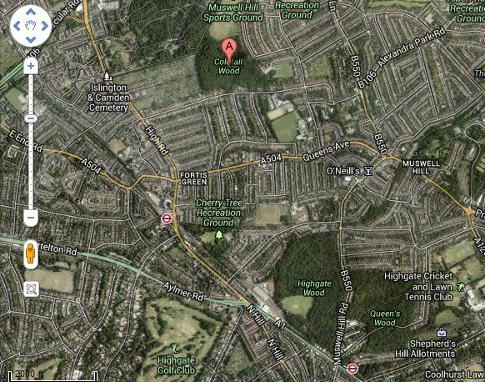
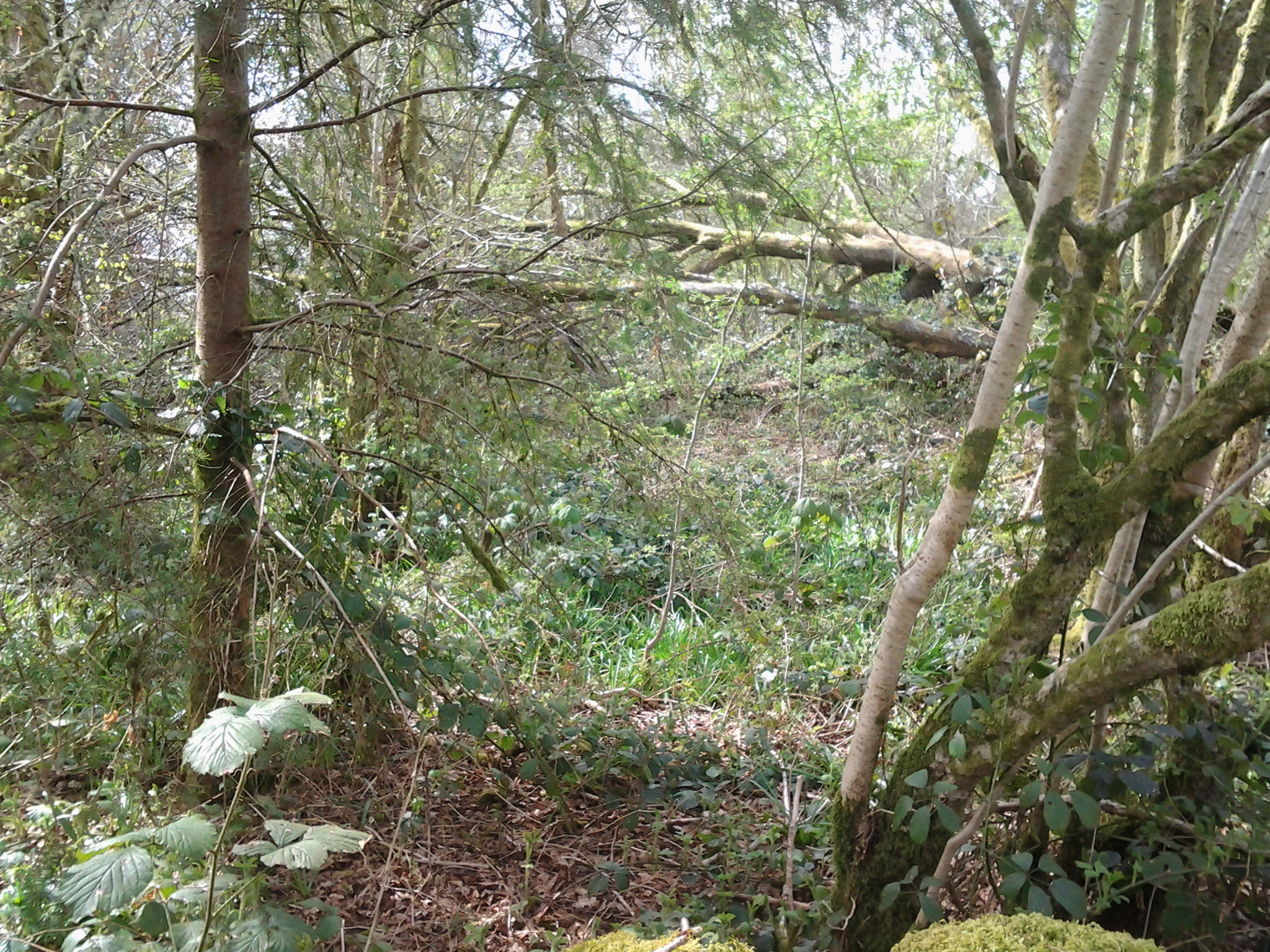
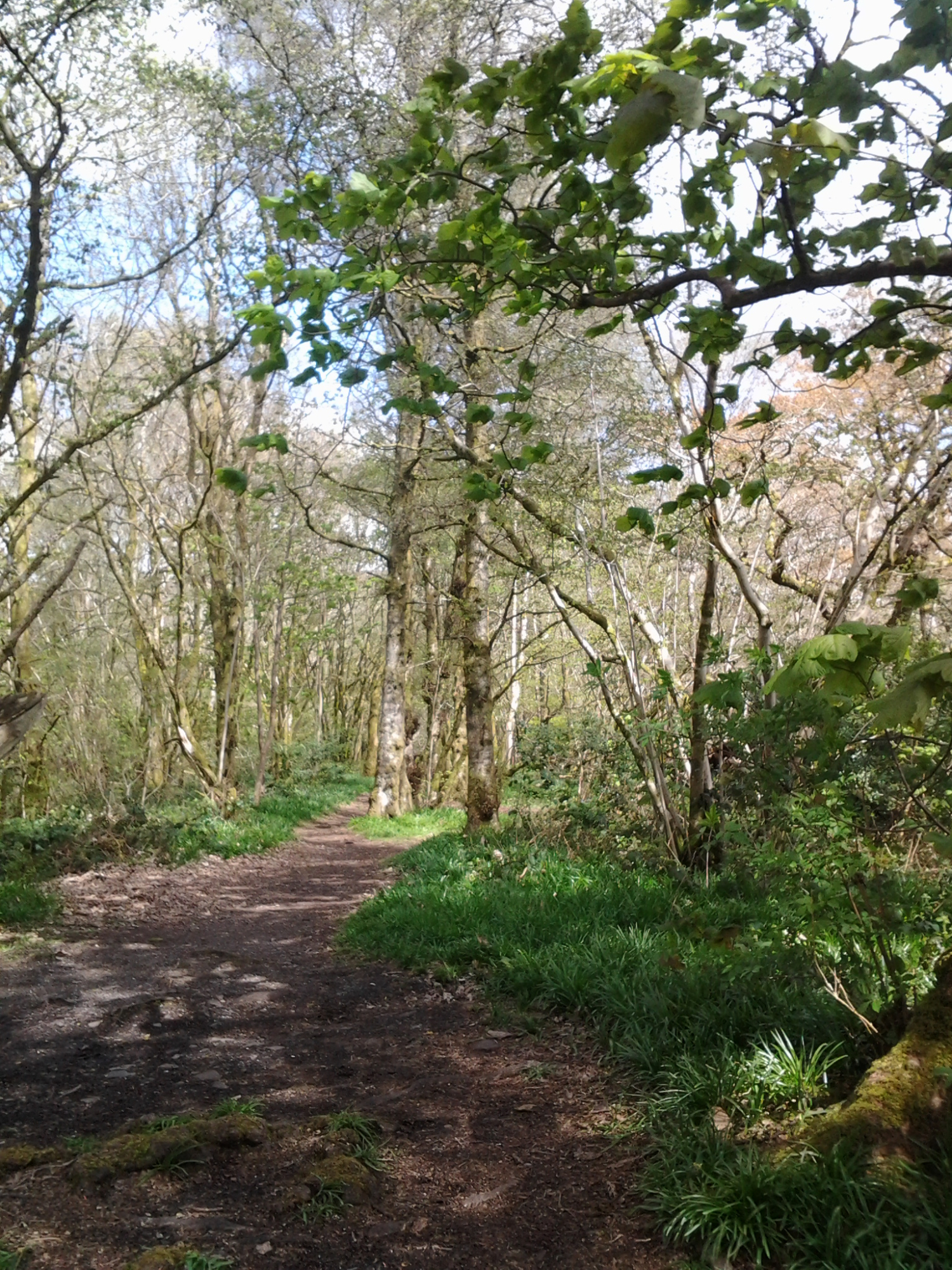
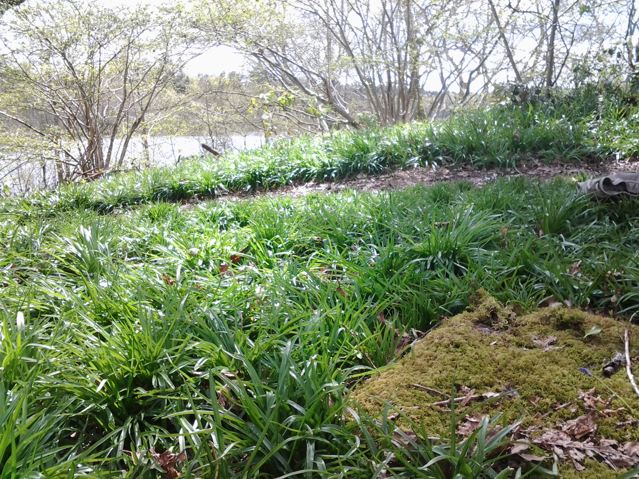
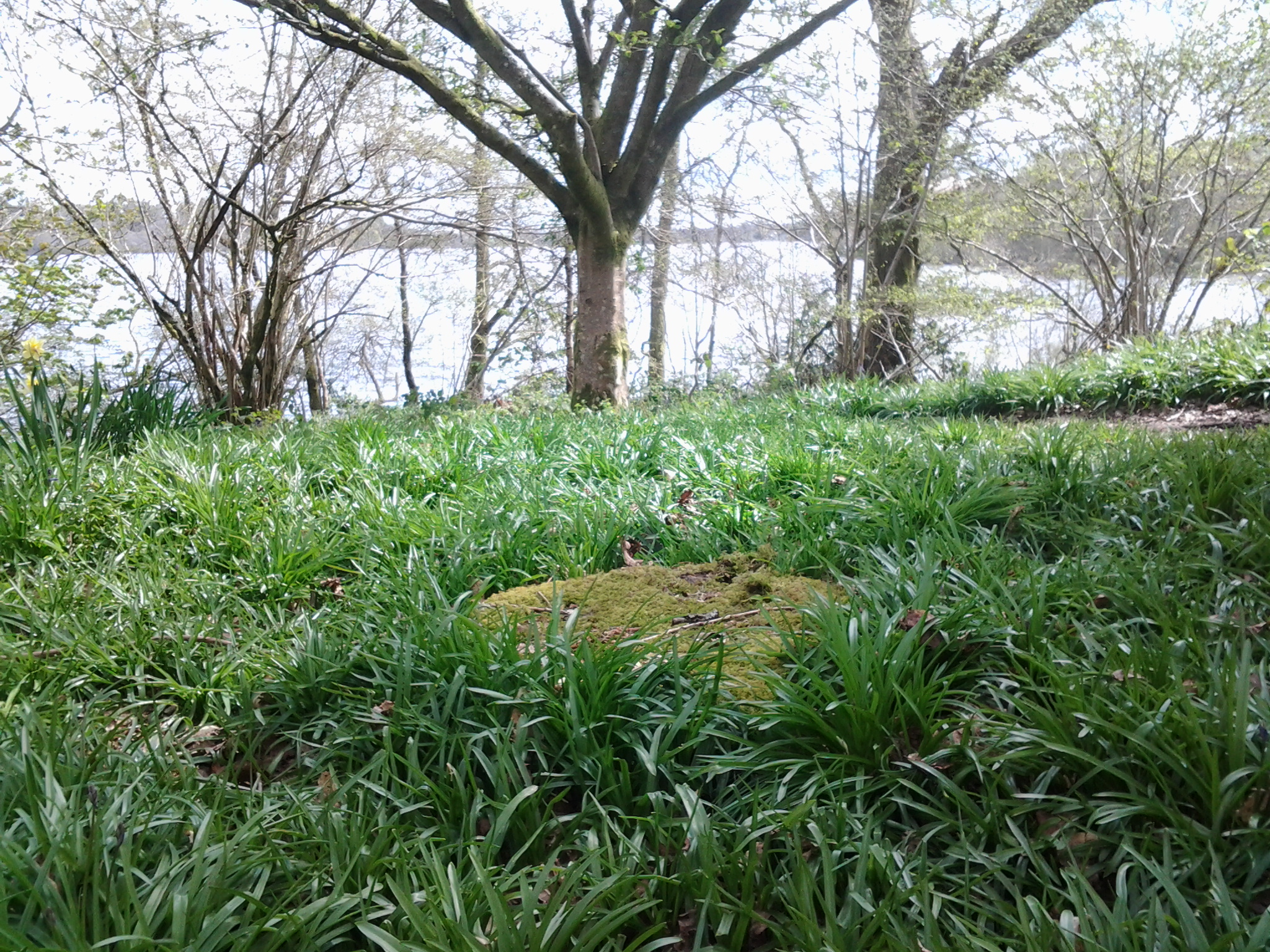
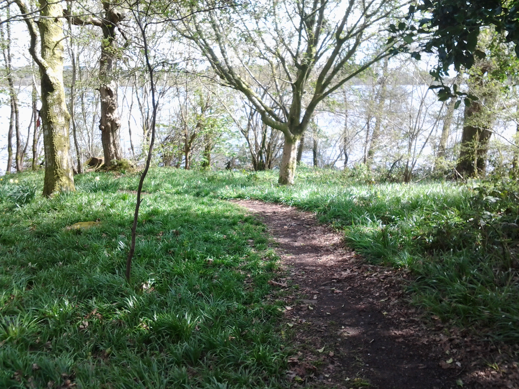
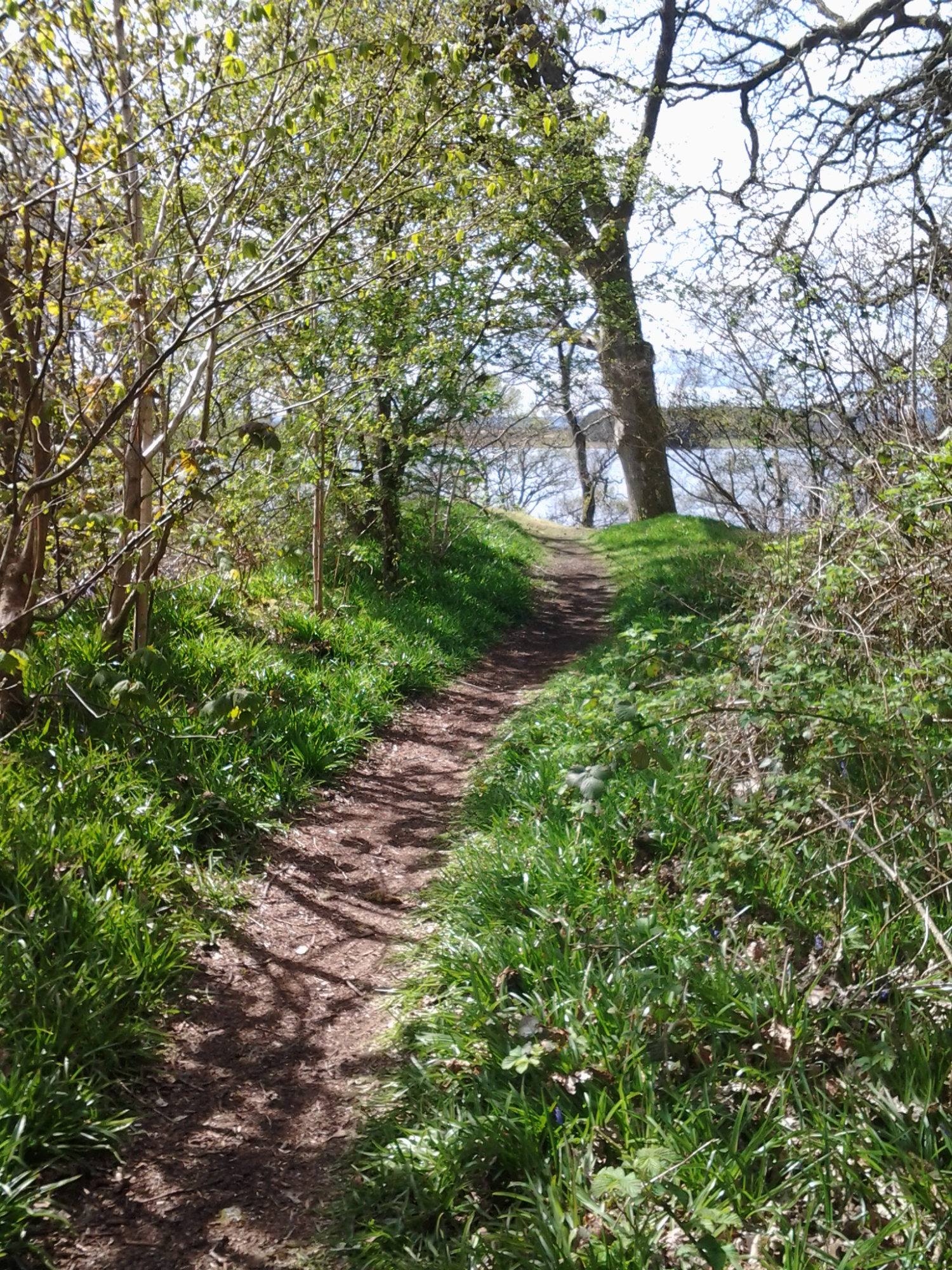
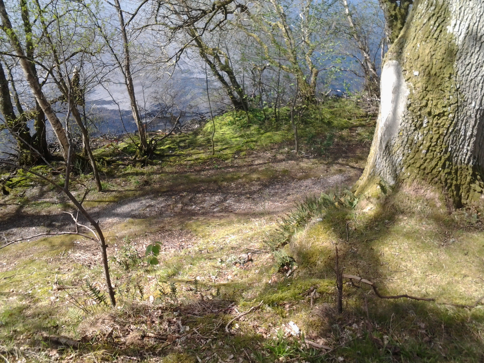
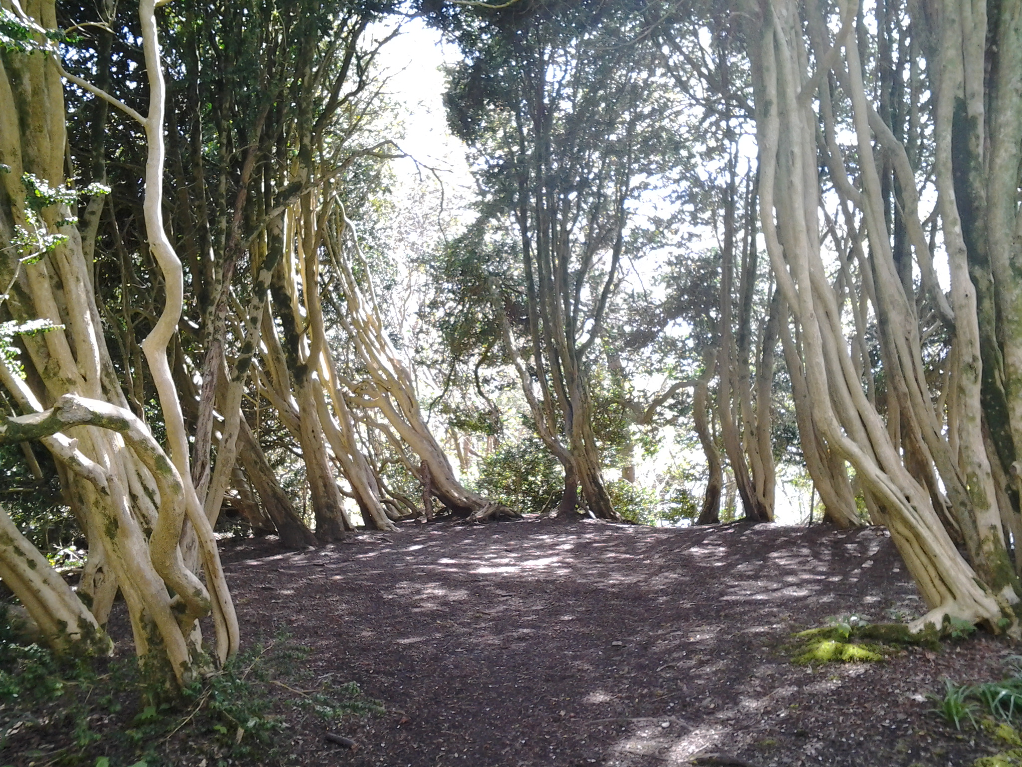
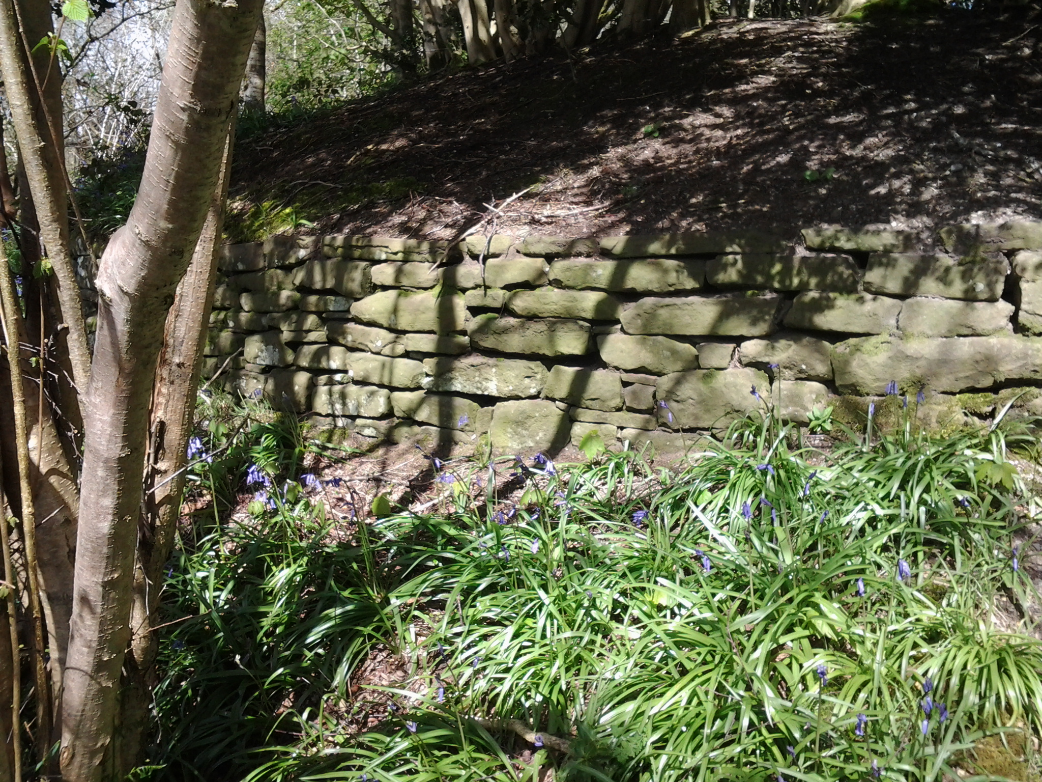
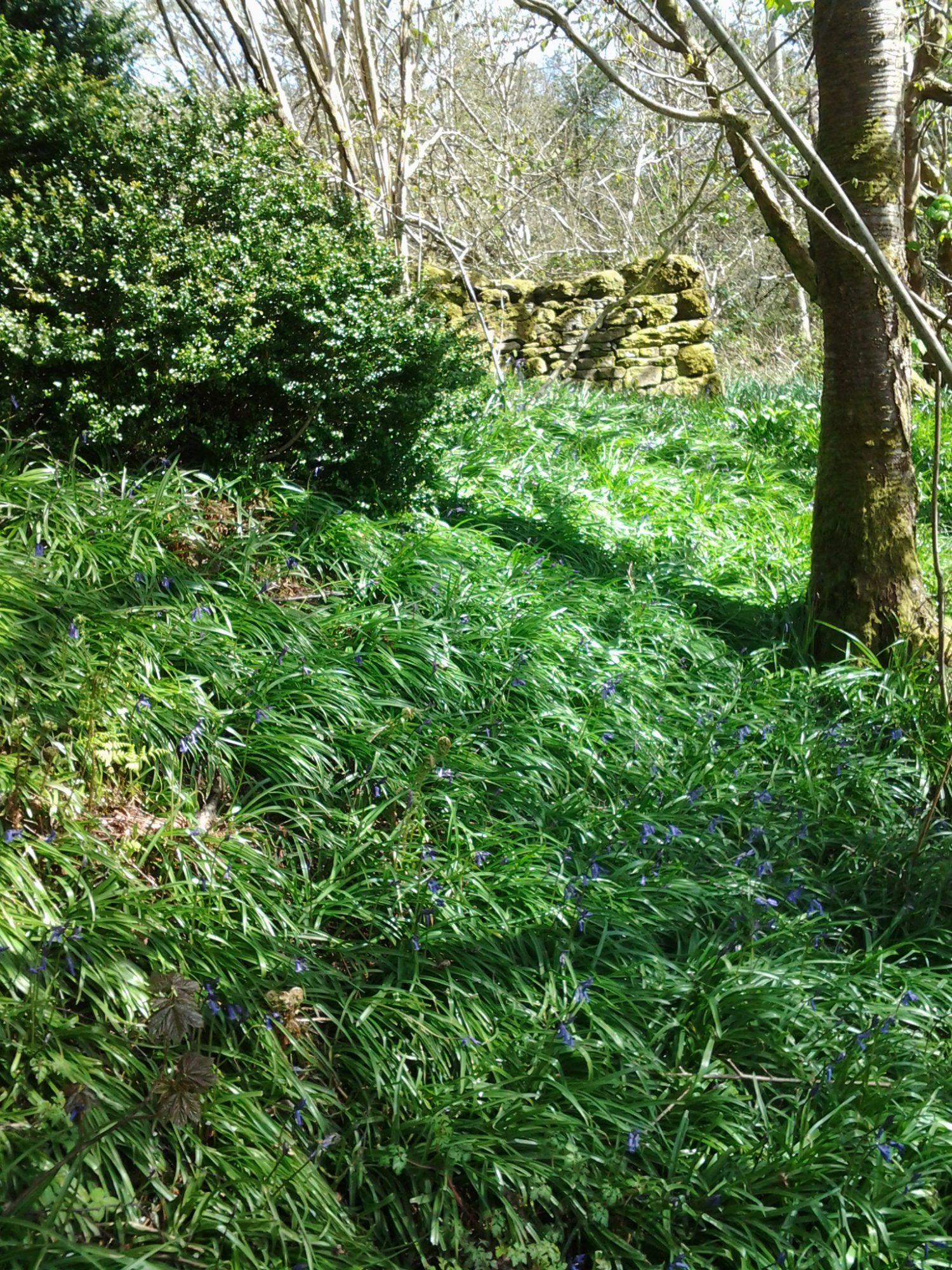
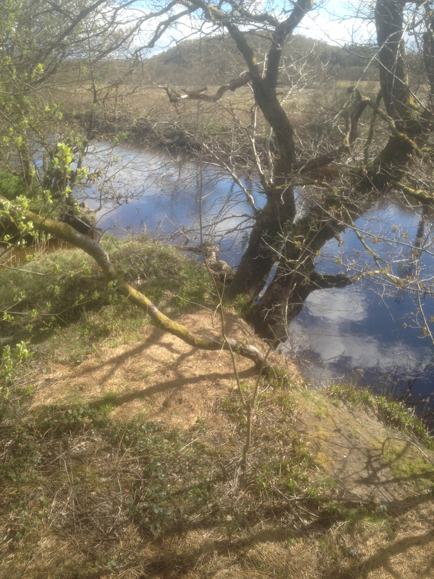
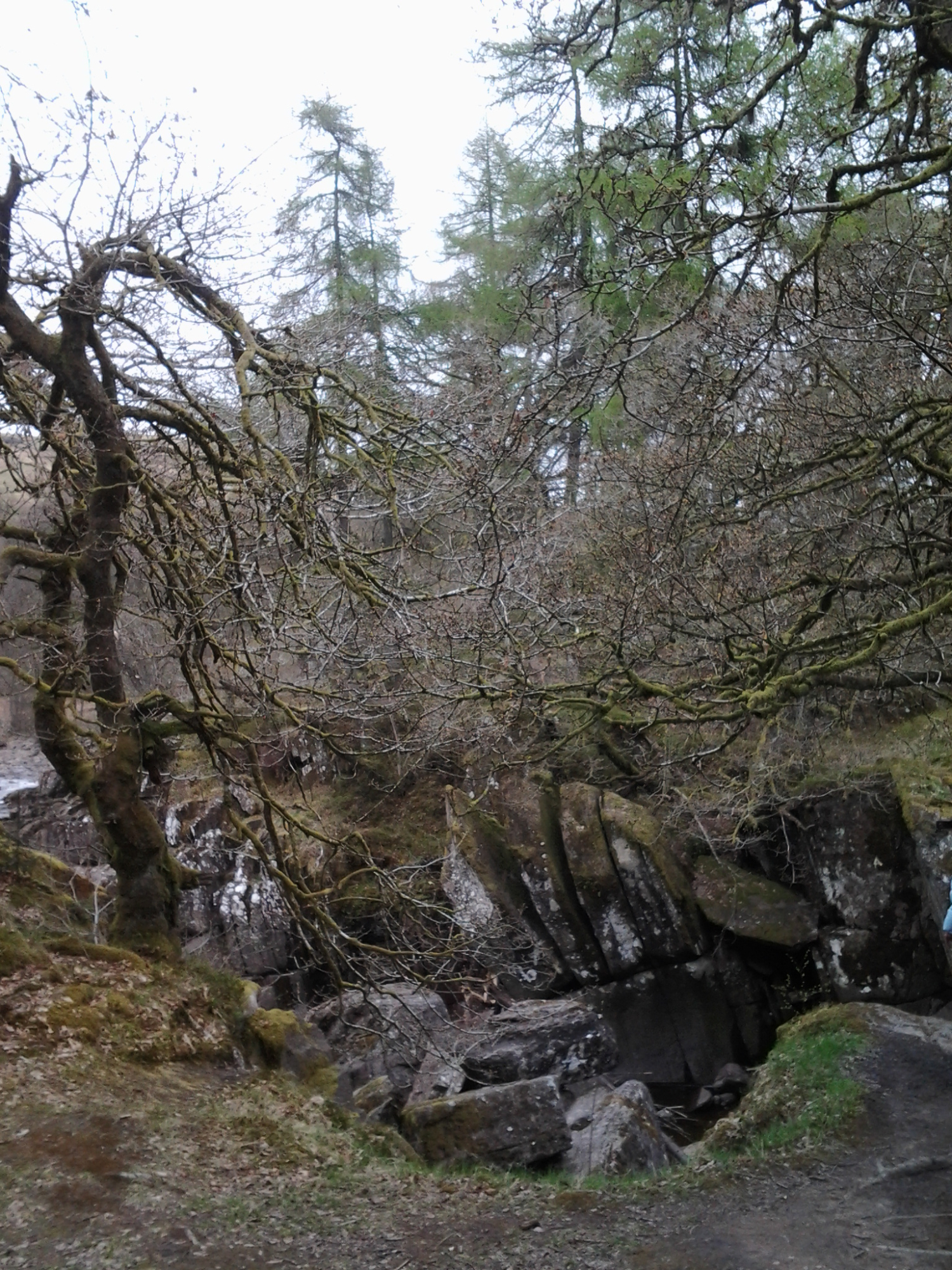
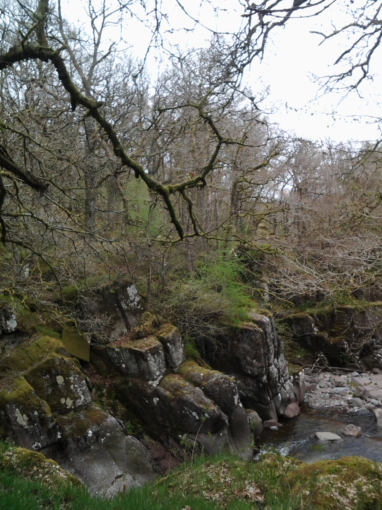
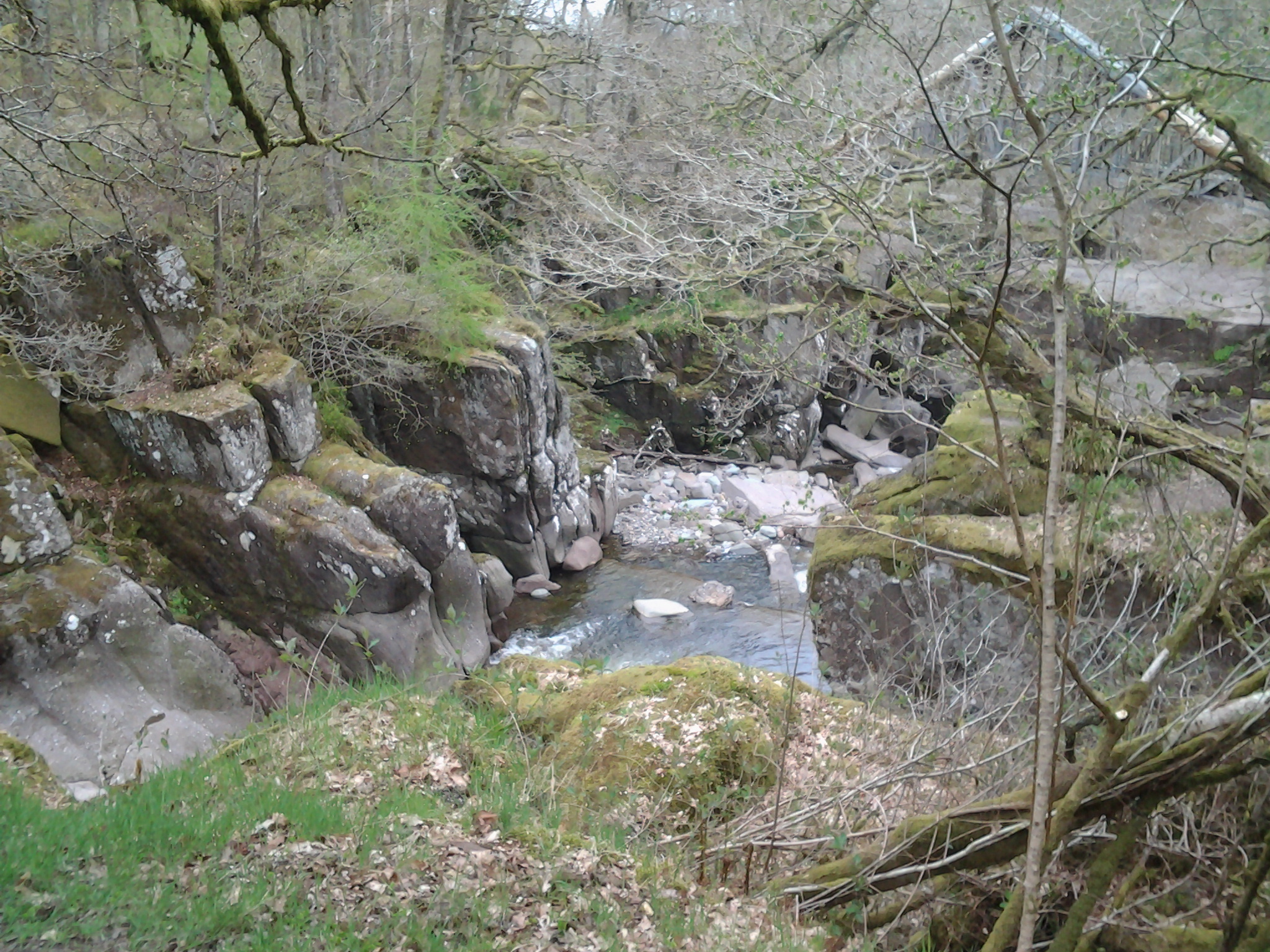
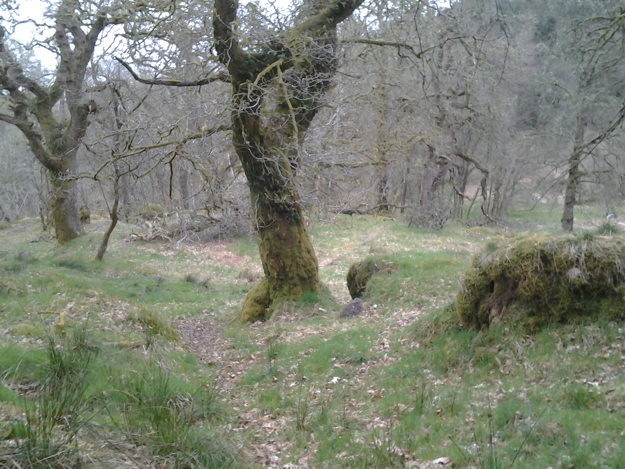
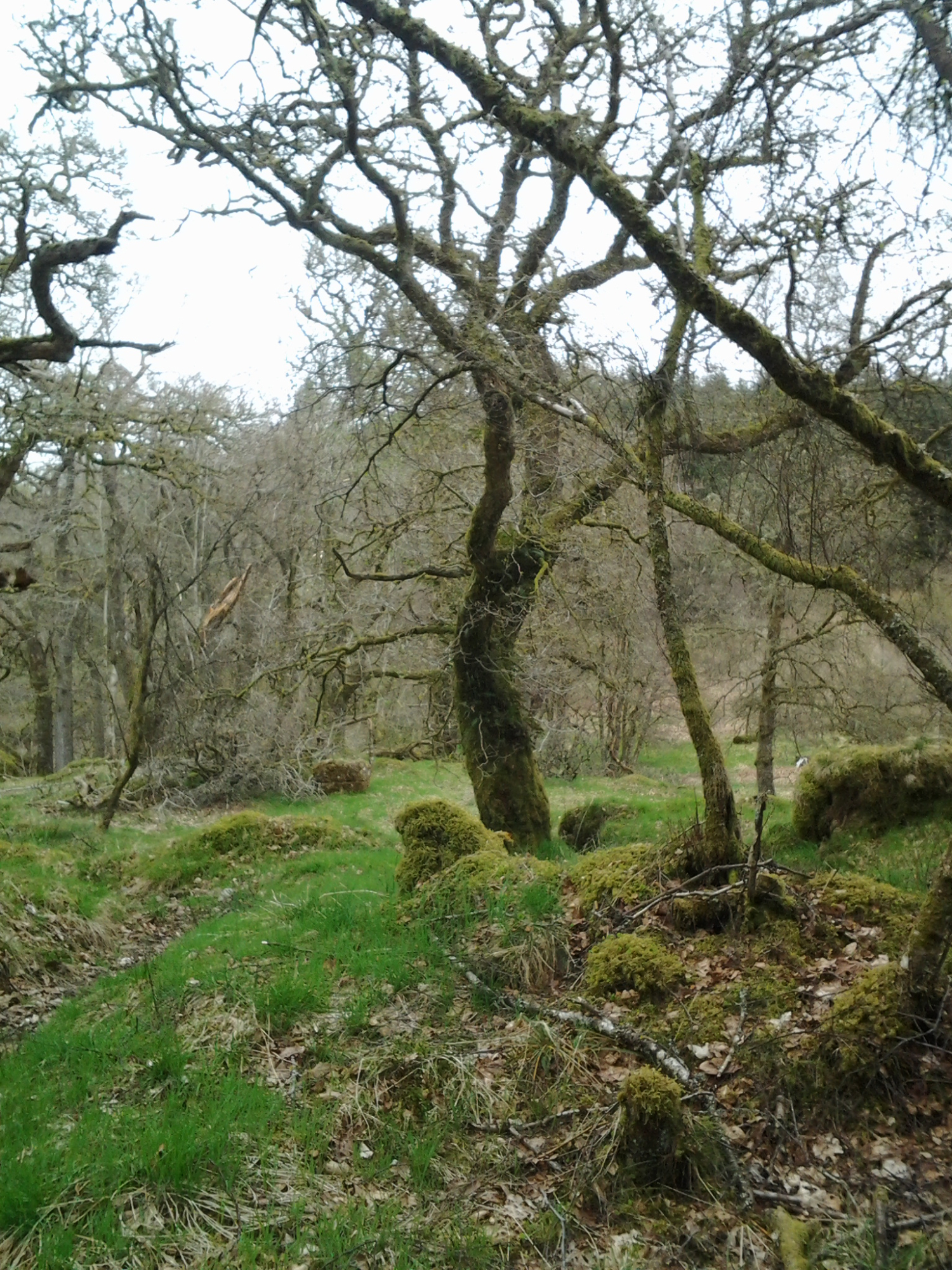
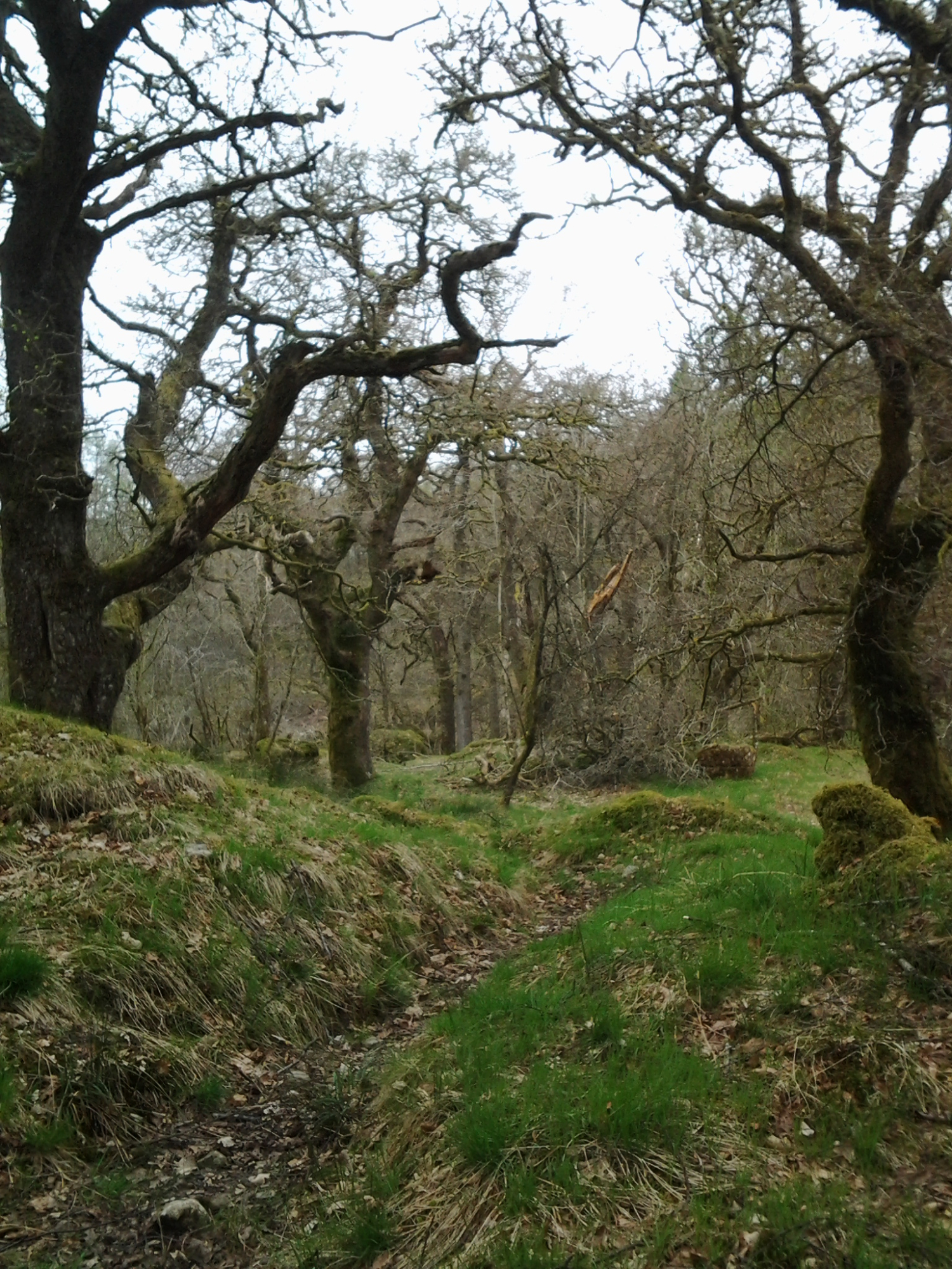
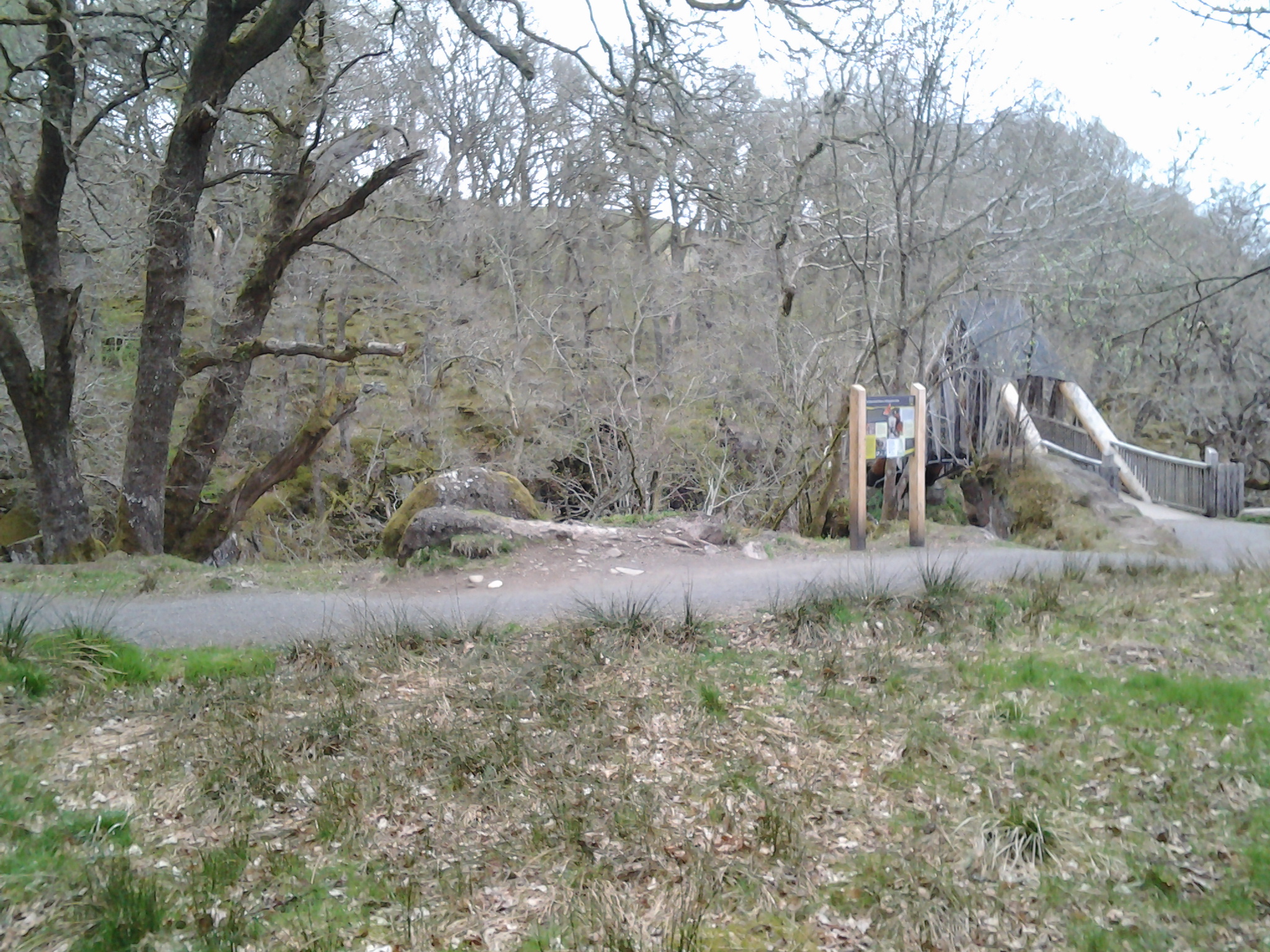
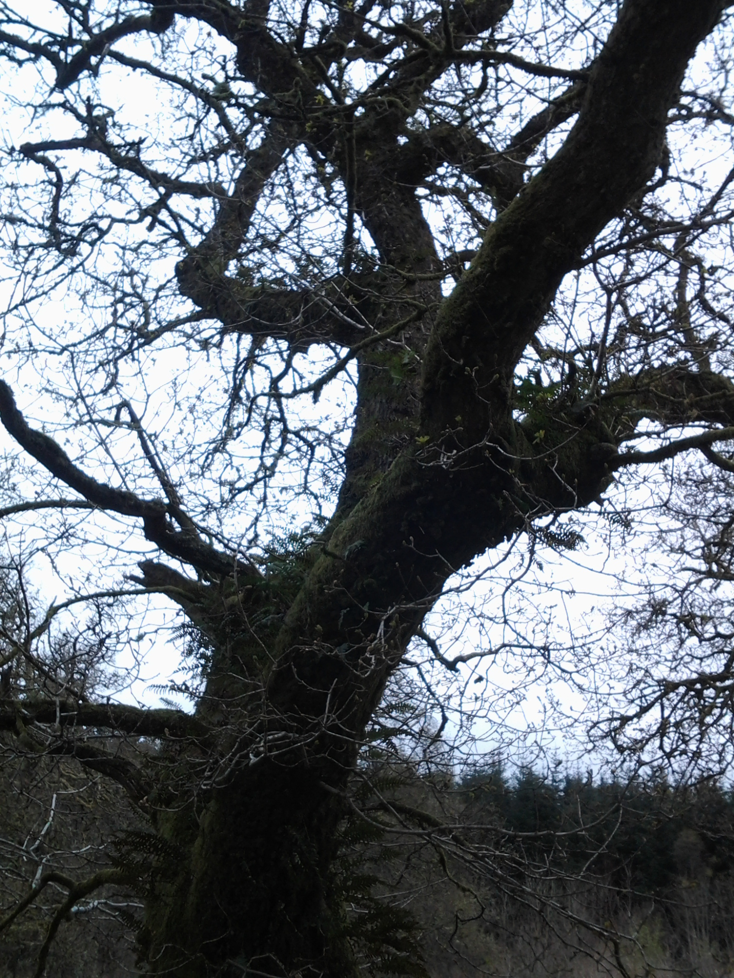
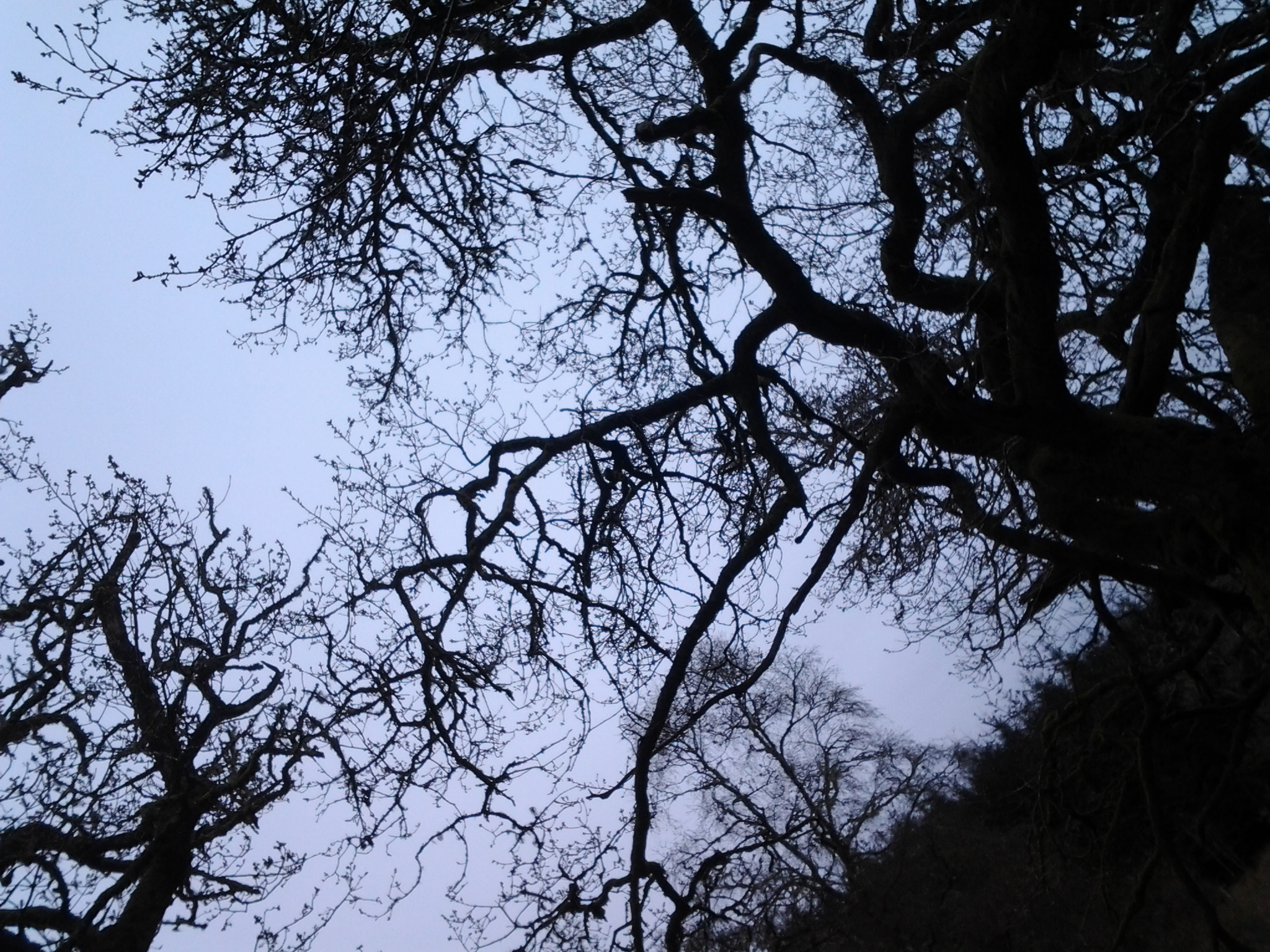
Coldfall Wood is an ancient wood in Muswell Hill, North London. It was declared a local nature reserve in 2013.
It covers an area of approximately 14 hectares and is presently surrounded by the East Finchley public allotments, the St. Pancras and Islington Cemetery, and the residential roads Barrenger Road and Creighton Avenue. It is the site of the discoveries which first led to the recognition that glaciation had once reached the south of England.
The Haringey district of London contains no less than five distinct ancient woods. These are Coldfall Wood, Queen’s Wood, Highgate Wood, North Wood and Bluebell Wood. All are shown on John Rocque's 1754 Map of Middlesex.
Until the early 20th century Coldfall Wood covered more than twice its current extent, reaching south to the properties bordering Fortis Green.
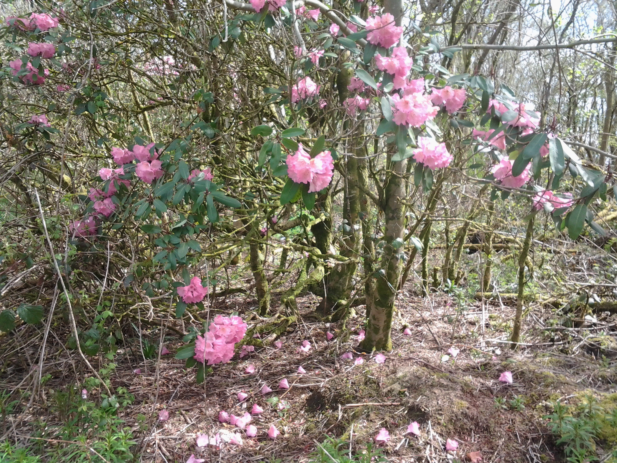
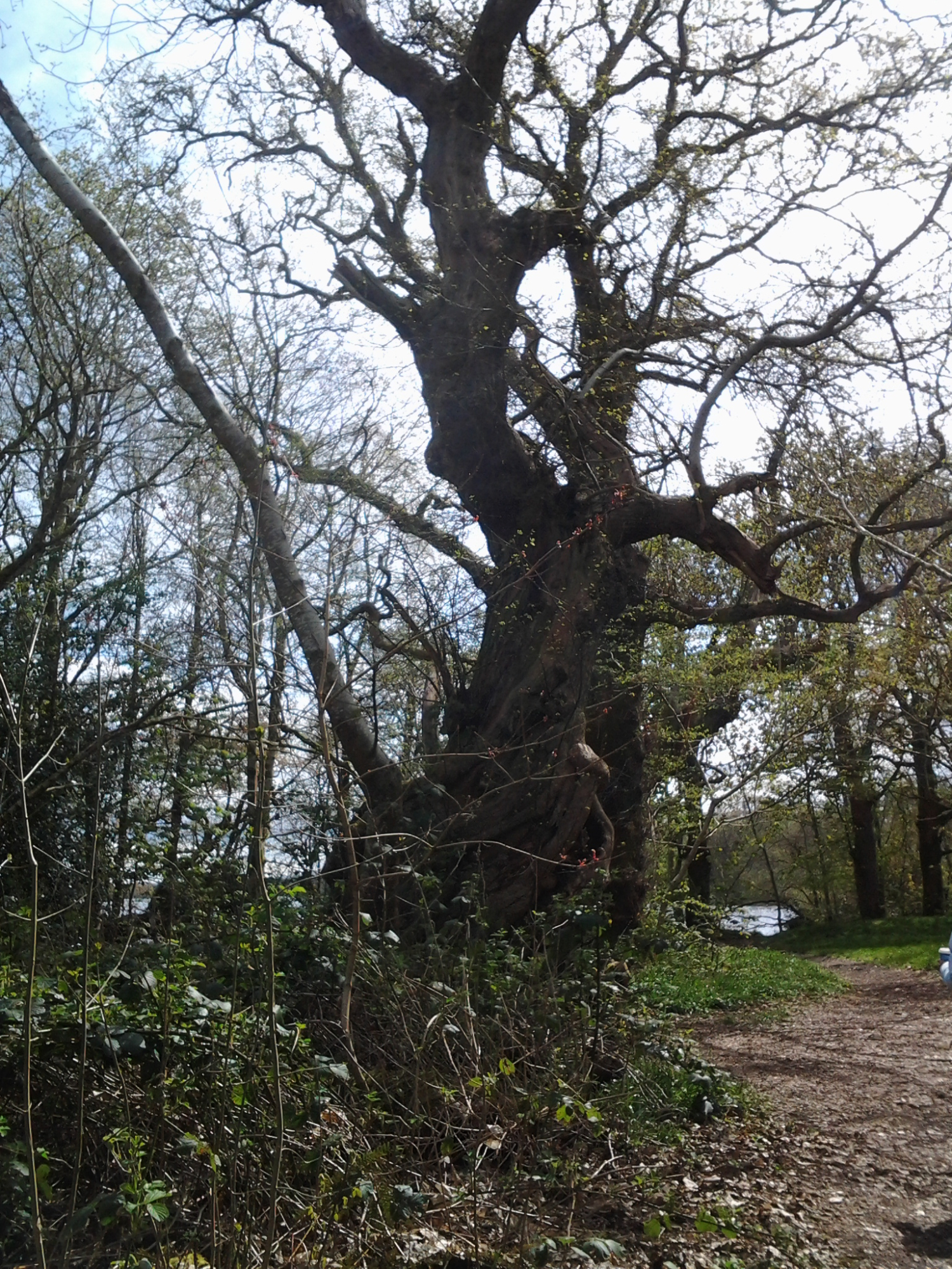
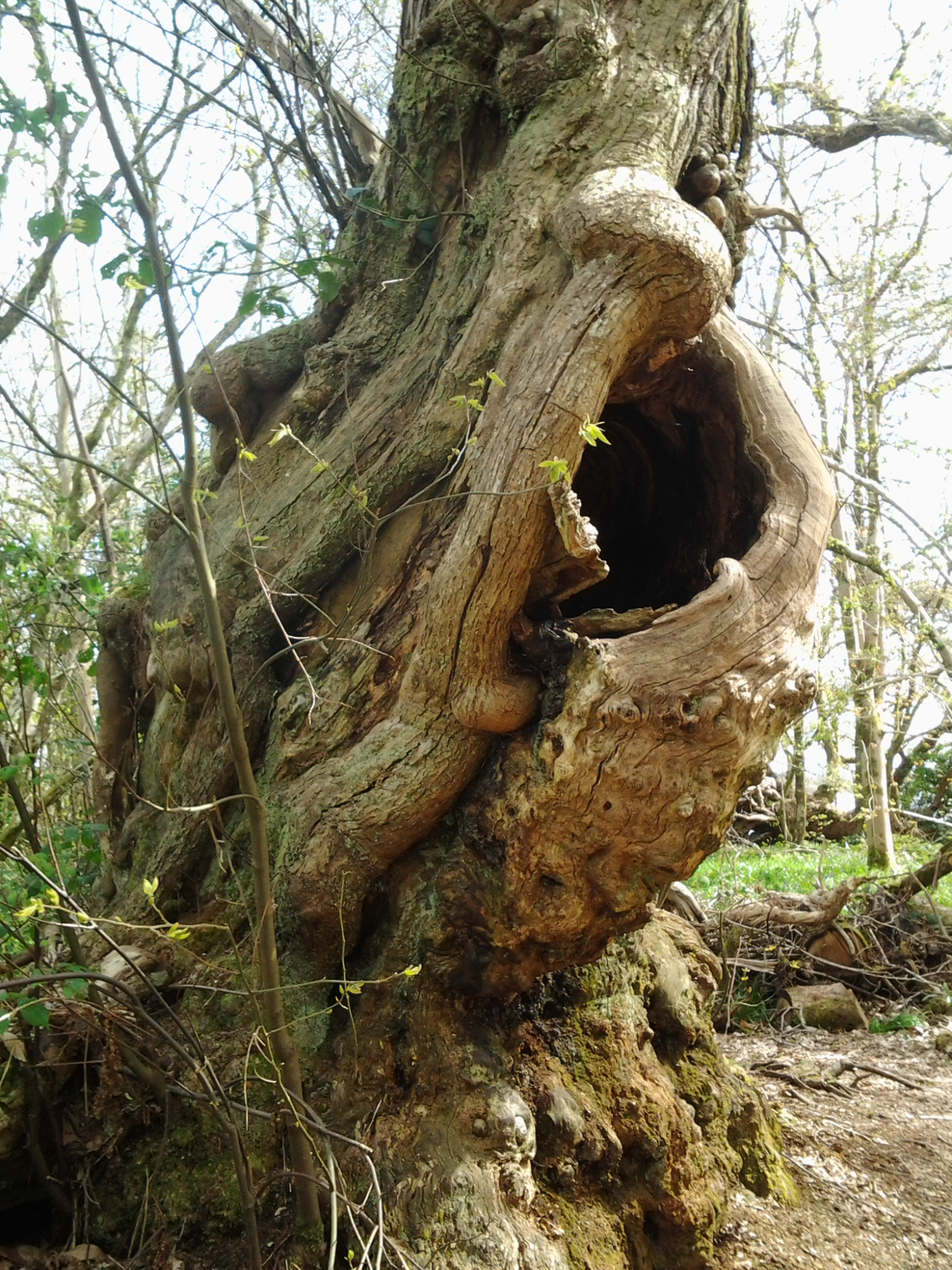
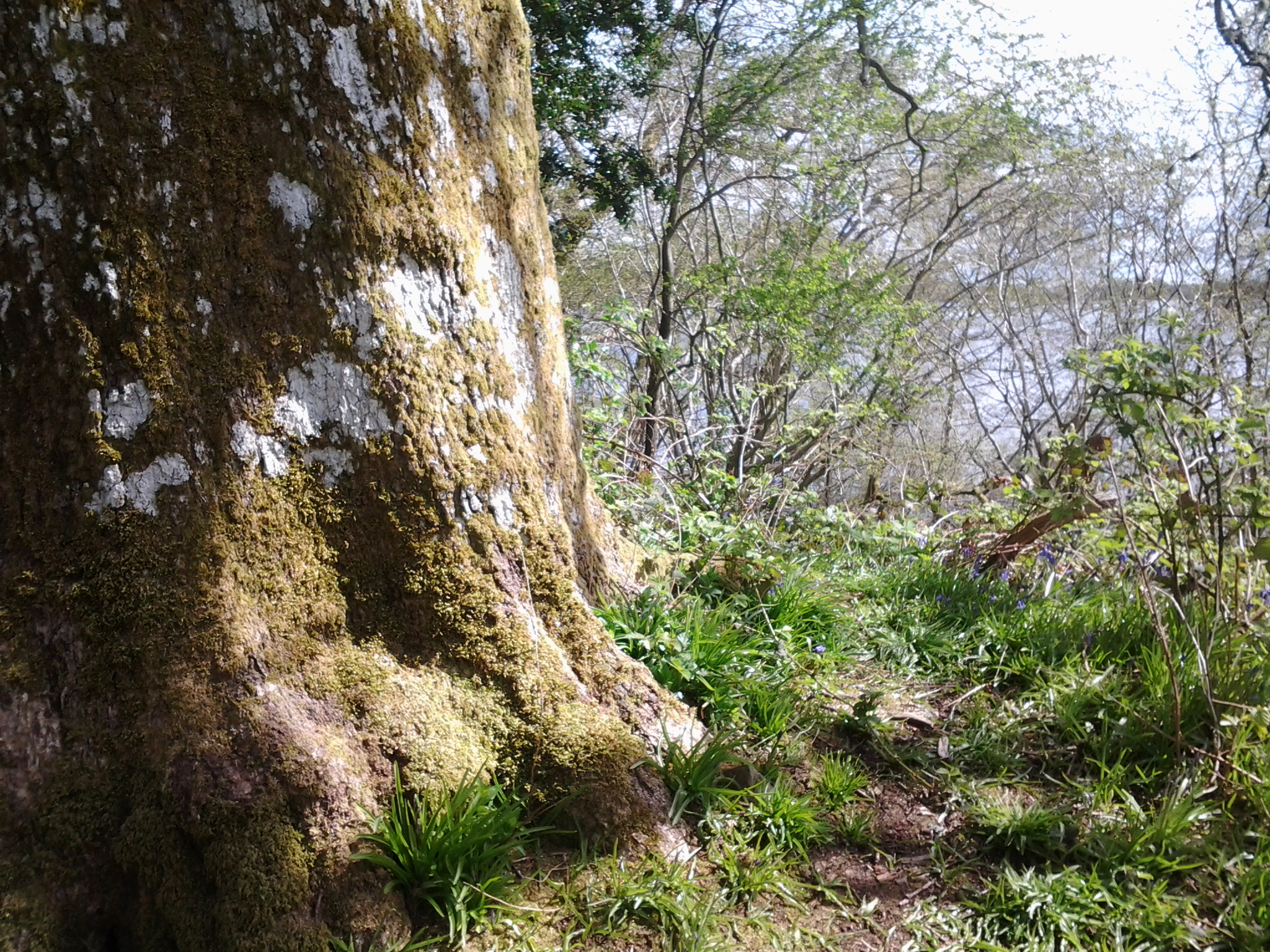
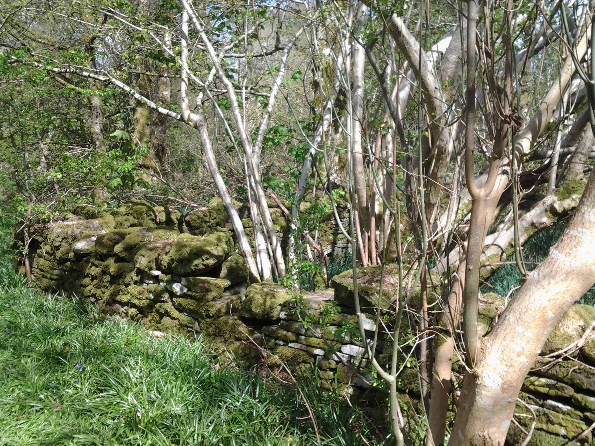
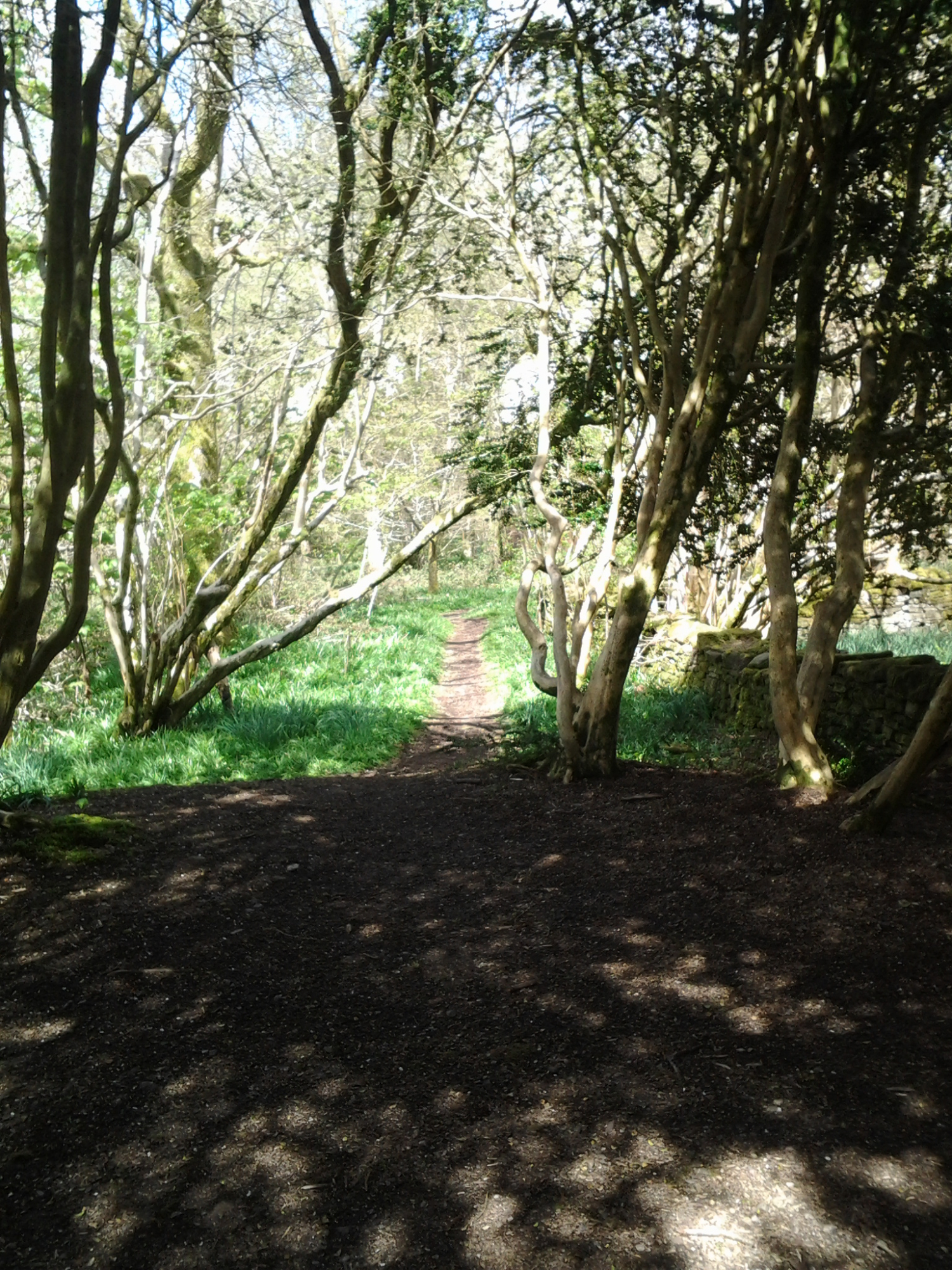
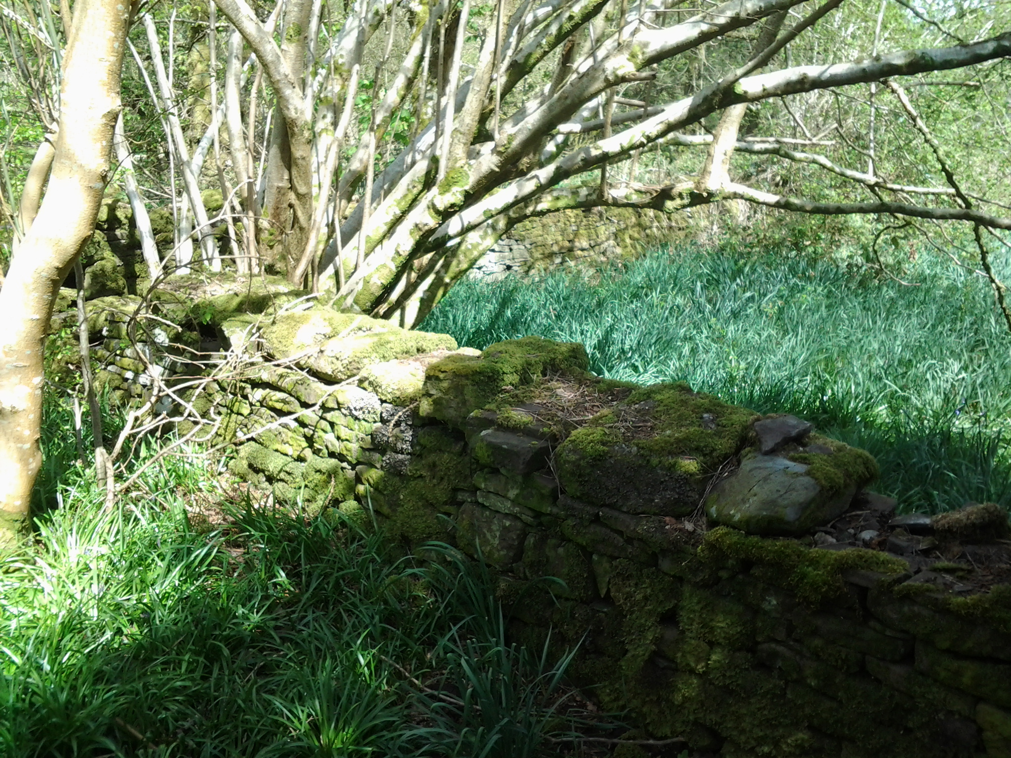
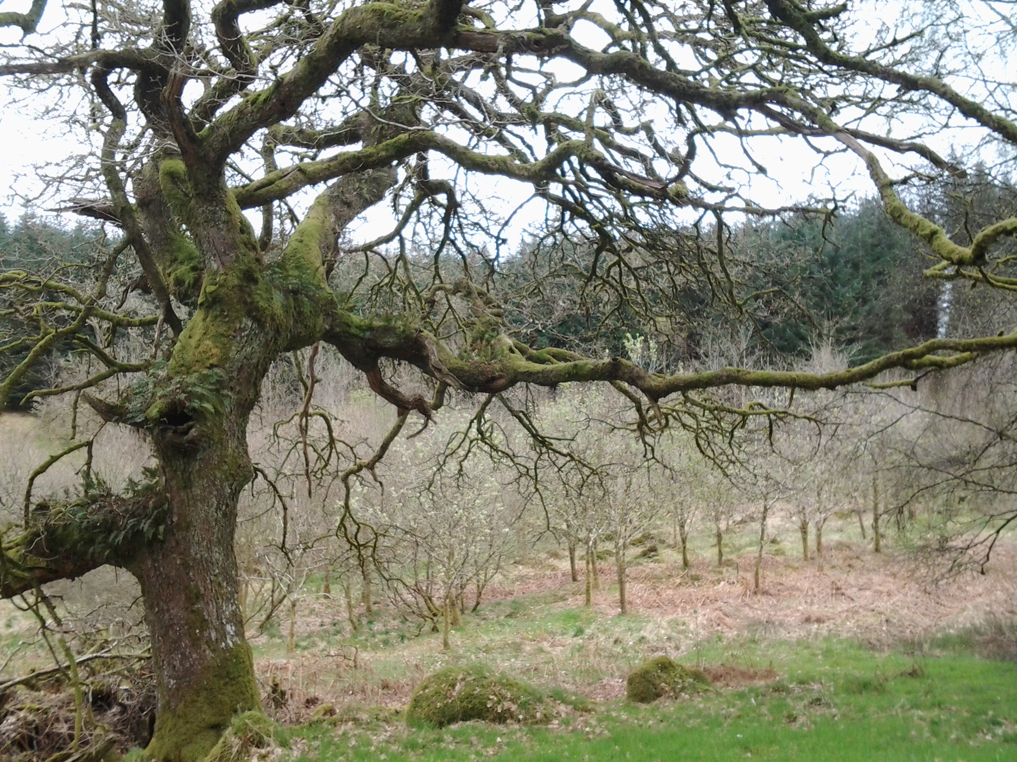
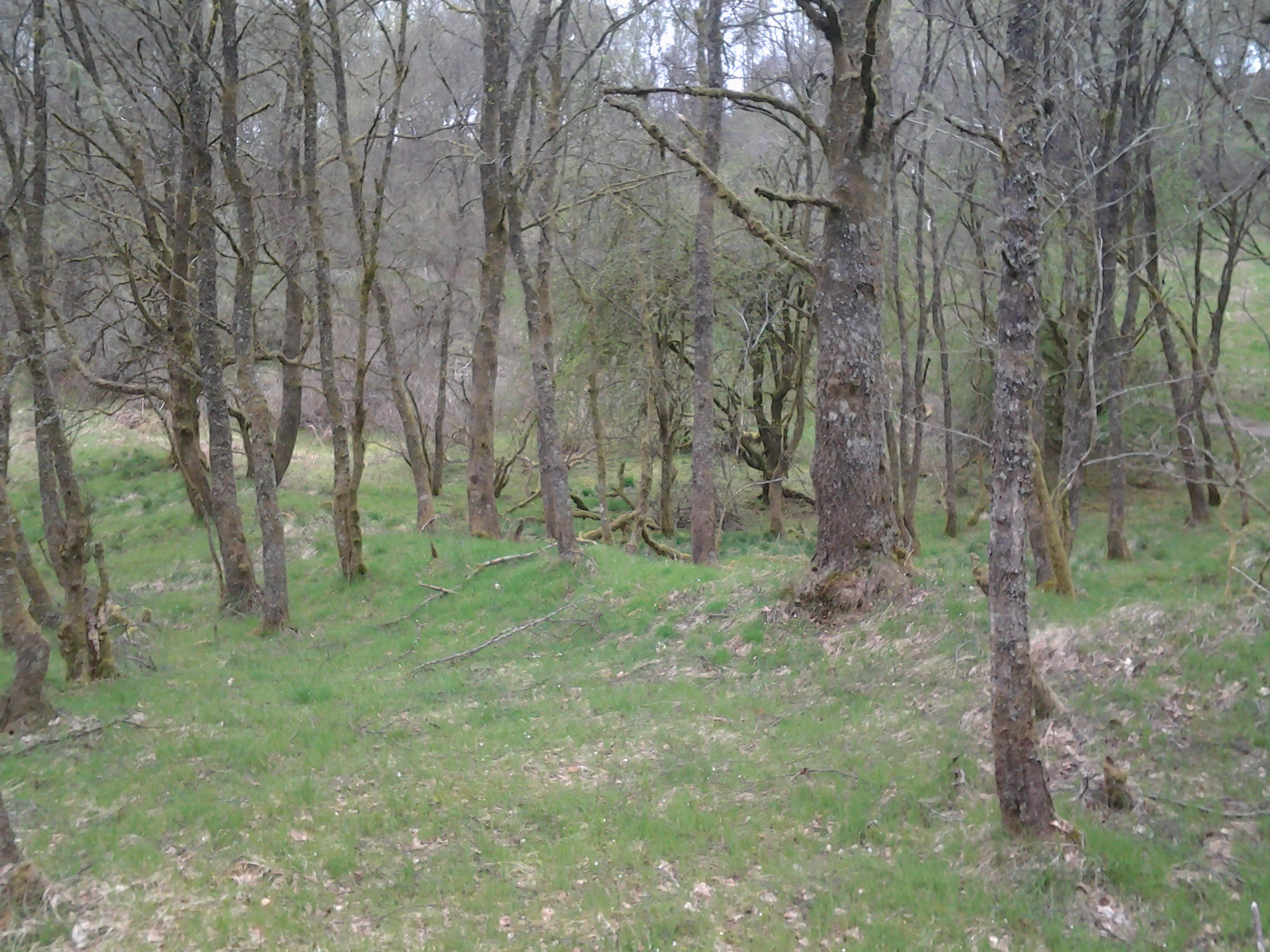
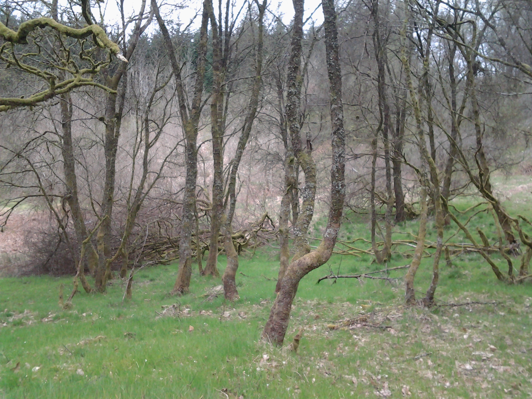
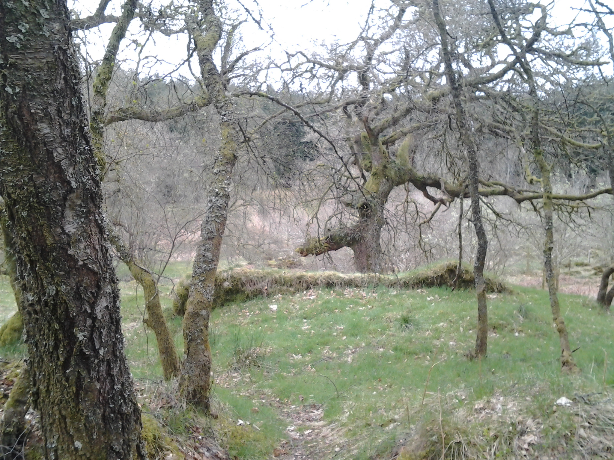
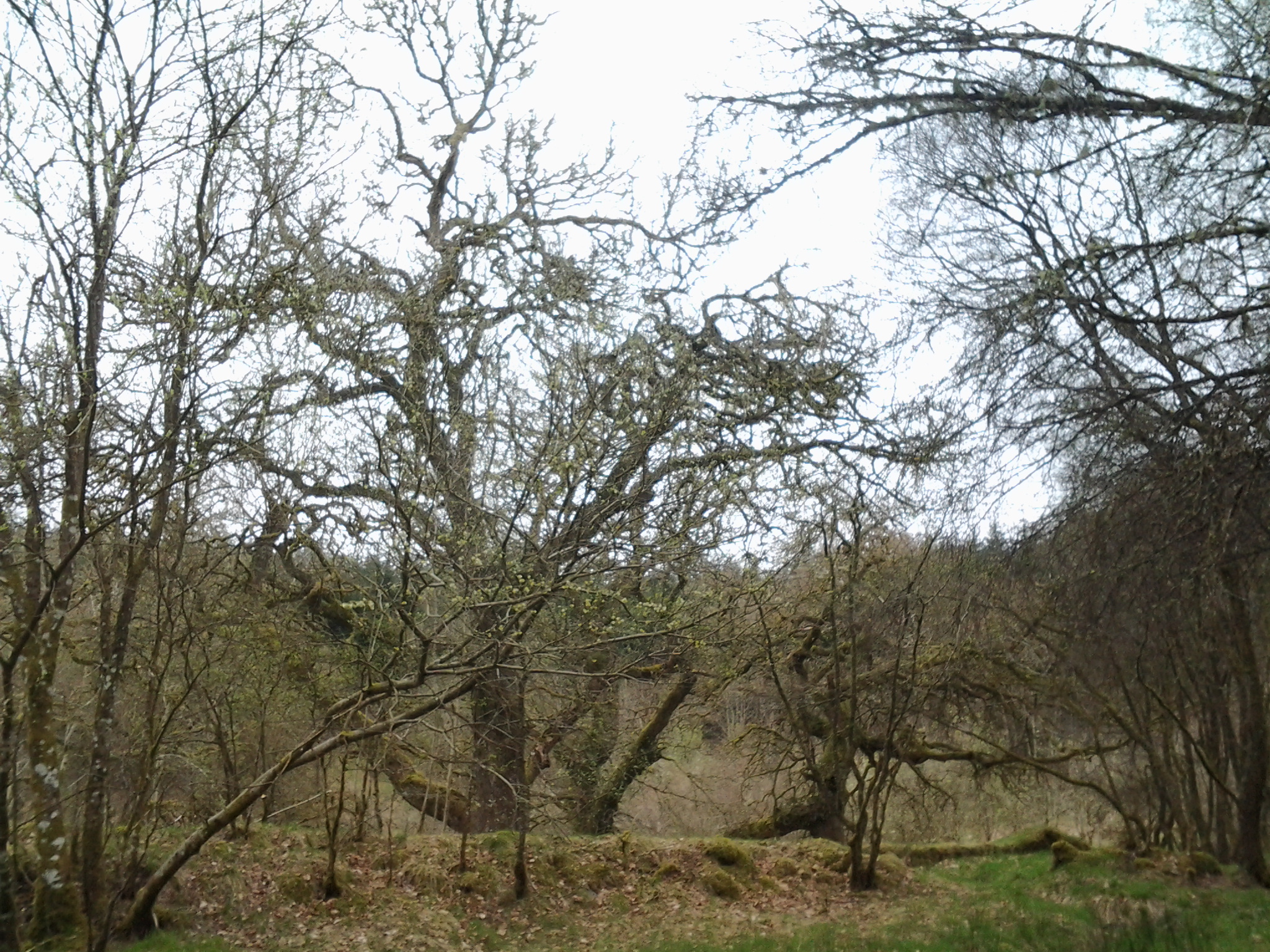
Like the other local ancient woodlands in the area, the Wood is dominated by oak standards, but the understorey is much less diverse and consists of almost pure stands of multi-stemmed, overgrown hornbeam coppice. Hazel, Beech, Mountain ash and Wild Service Tree are all rare, though there are some fine specimens of the last species.
Coldfall Wood has been examined in some detail by Silvertown (1978), who used historical sources to show that the woodlands are likely to be of primary origin (i.e. continuously present since prehistoric times).
Little light penetrates to the woodland floor in the most wooded places and large areas of the wood are devoid of either shrub, field or ground layers of vegetation. Consequently parts of the wood can present a dark and gloomy appearance in the summer months.
Link to Coldfall Woods HERE
2. Bea's Home Town
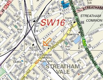
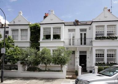
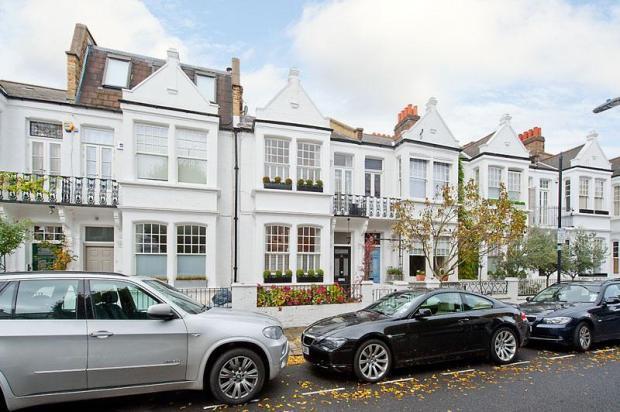
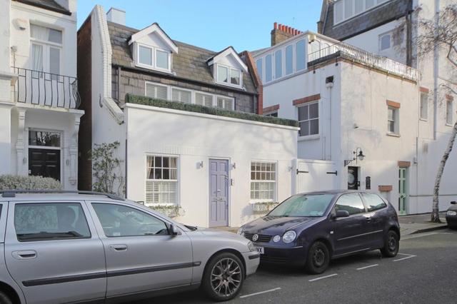
Bea lives in Streatham, Lambeth/SW London
(The Dirty South - Slang)
The area originates from the South Western (SW1–SW10) and Battersea (SW11–SW20) districts of the London post town.
SW16 - Streatham district: Streatham, Streatham Common, Norbury, Thornton Heath, Streatham Park, Furzedown, Streatham Vale, Mitcham Common, Pollards Hill, Eastfields.
The south-westernmost part of Streatham, previously known as Lower or South Streatham, but once a corner of Mitcham.
For several centuries there was little here but fields, the River Graveney and a track connecting Mitcham with Norwood. The route was often used by gypsies, who had camps in both villages. The Greyhound Inn, established around 1730, became a popular resting place for these travellers.
The opening of Greyhound Lane station in 1862 barely stirred this remote spot and the lane remained a muddy track for several decades more.
In 1875 the station was renamed Streatham Common and half of Greyhound Lane became Streatham Vale. The first houses appeared on Eardley Road and a handful of industries set up shop, bringing local employment opportunities.
Suburban development abruptly got underway from 1922 as the Streatham Vale estate took shape. Two private building firms shared most of the work, RH Miller laying out Abercairn Road and its offshoots, while Wates of Norbury built eastwards from Streatham Vale to the railway line.
In the three years from 1929 a profusion of amenities were provided and improvements made. Schools opened on either side of Streatham Vale; the Greyhound Inn was rebuilt; the Graveney was culverted to prevent flooding; Streatham Vale Park was laid out on the site of an abandoned brickworks and the new parish church of the Holy Redeemer was consecrated.
Streatham Park cemetery opened in 1920 on Rowan Road, some way from Streatham Park. The comic actor Will Hay was buried here in 1949. The cemetery has a variety artists’ section dedicated to lesser-known performers from the music hall era. An adjoining Jewish burial ground opened in 1932.
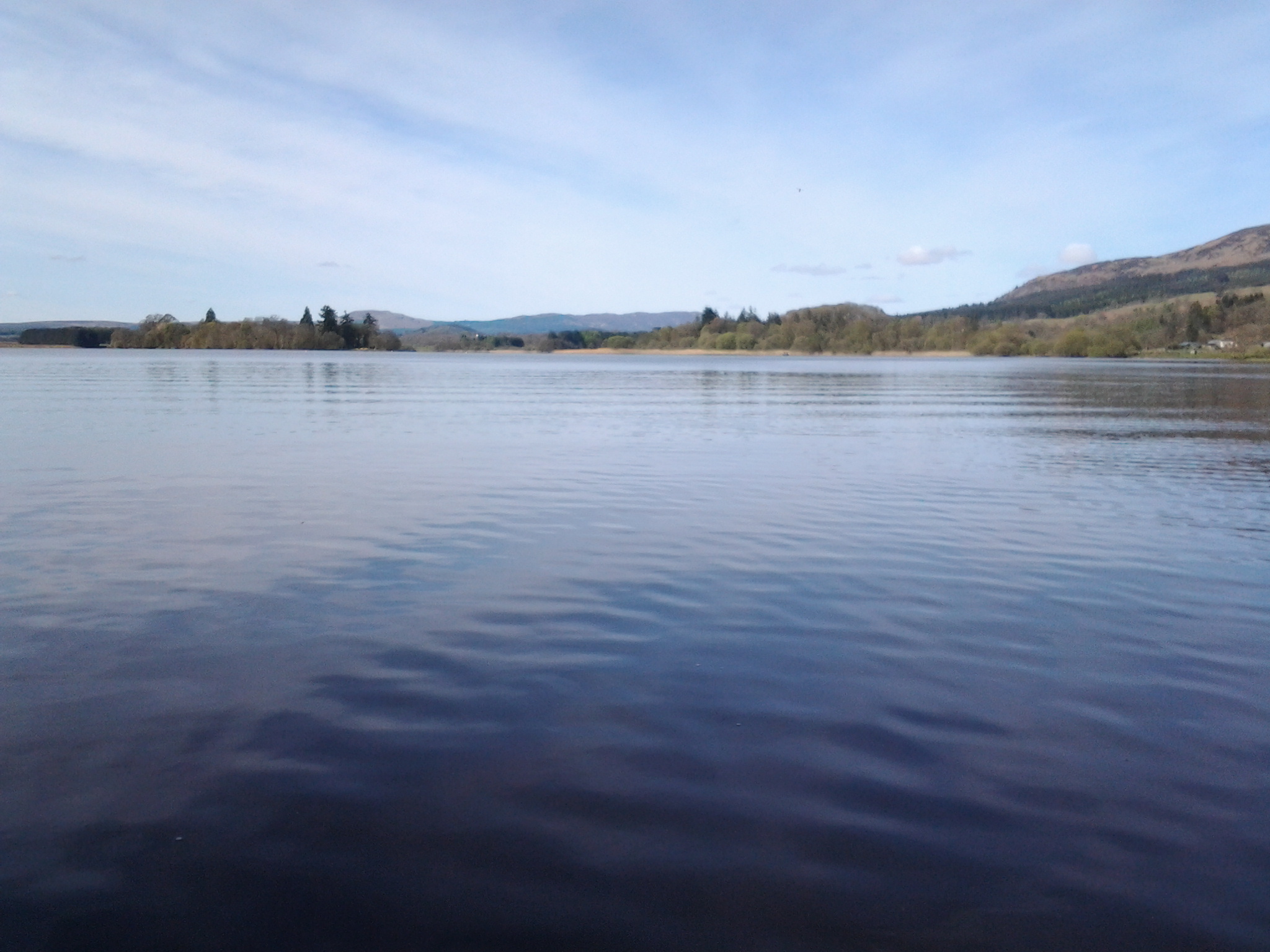
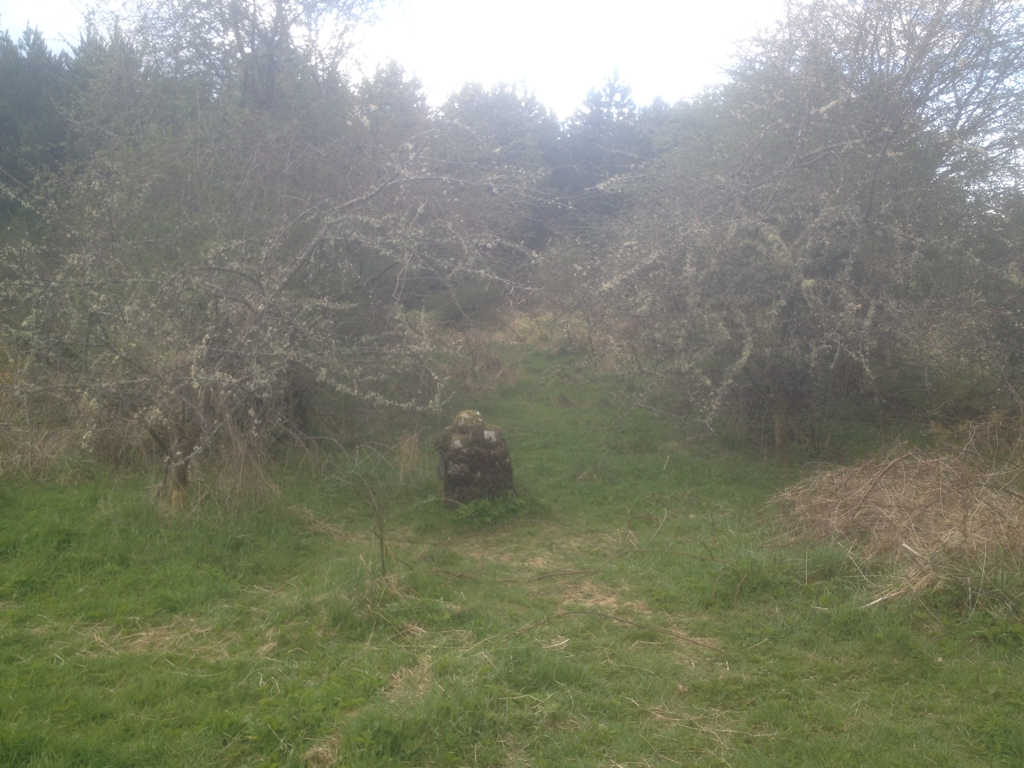
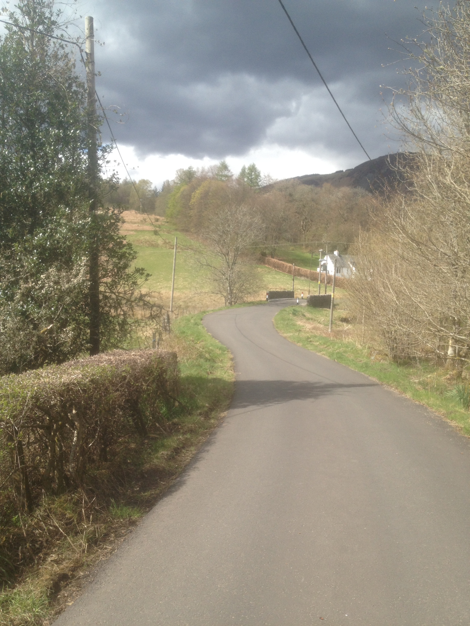
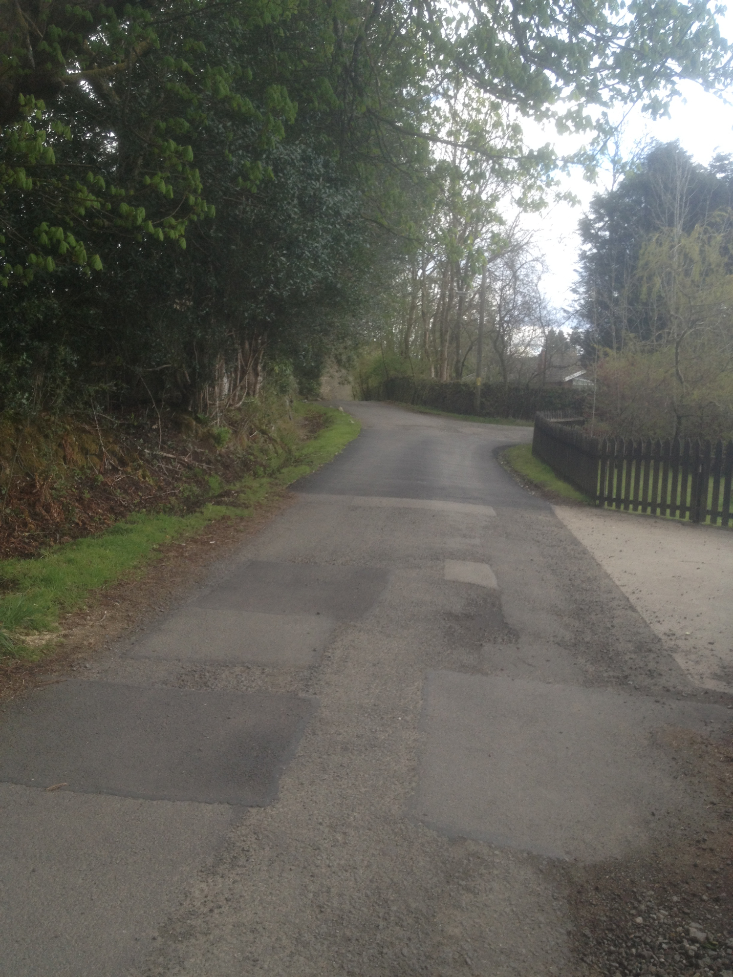
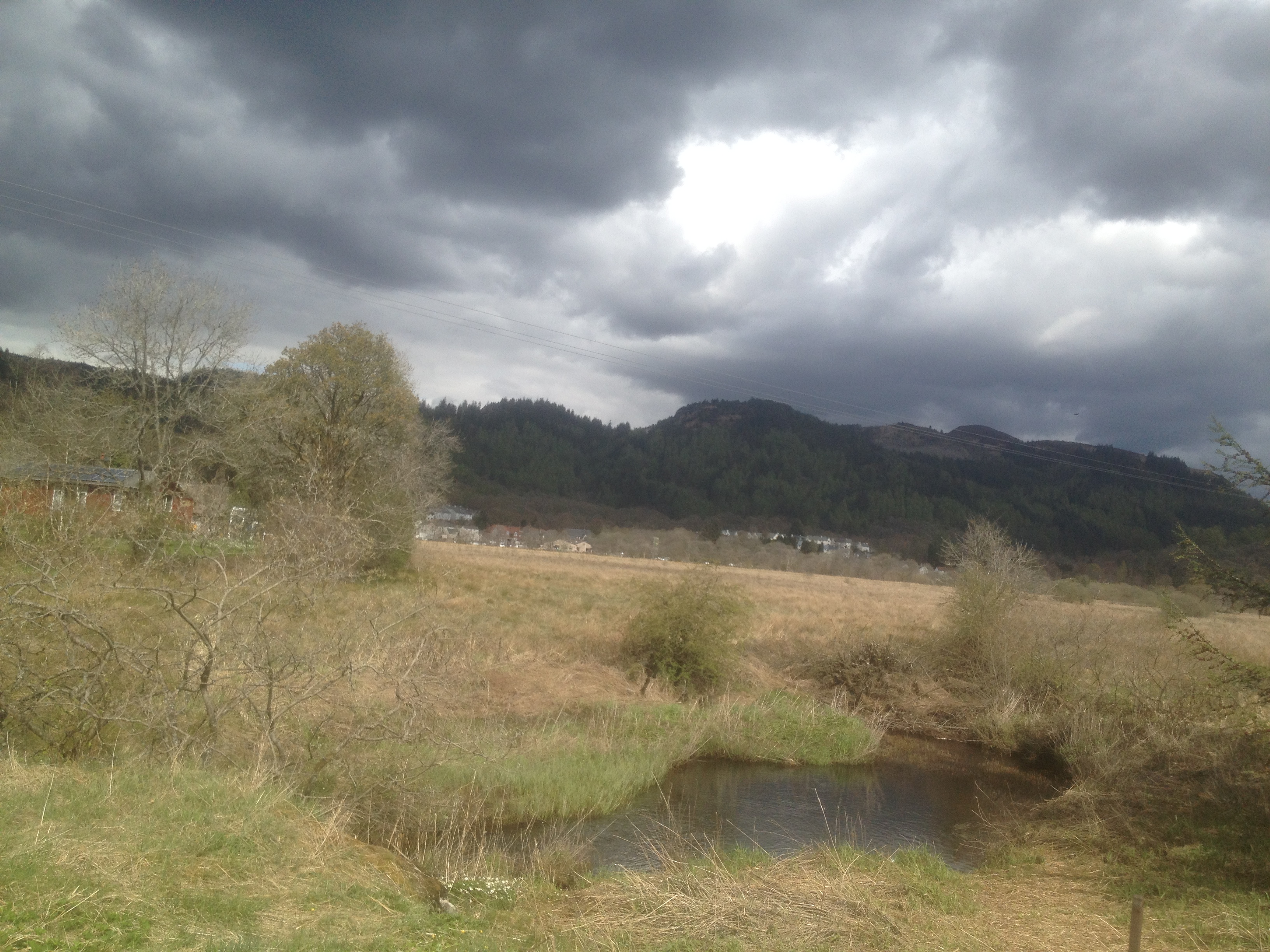
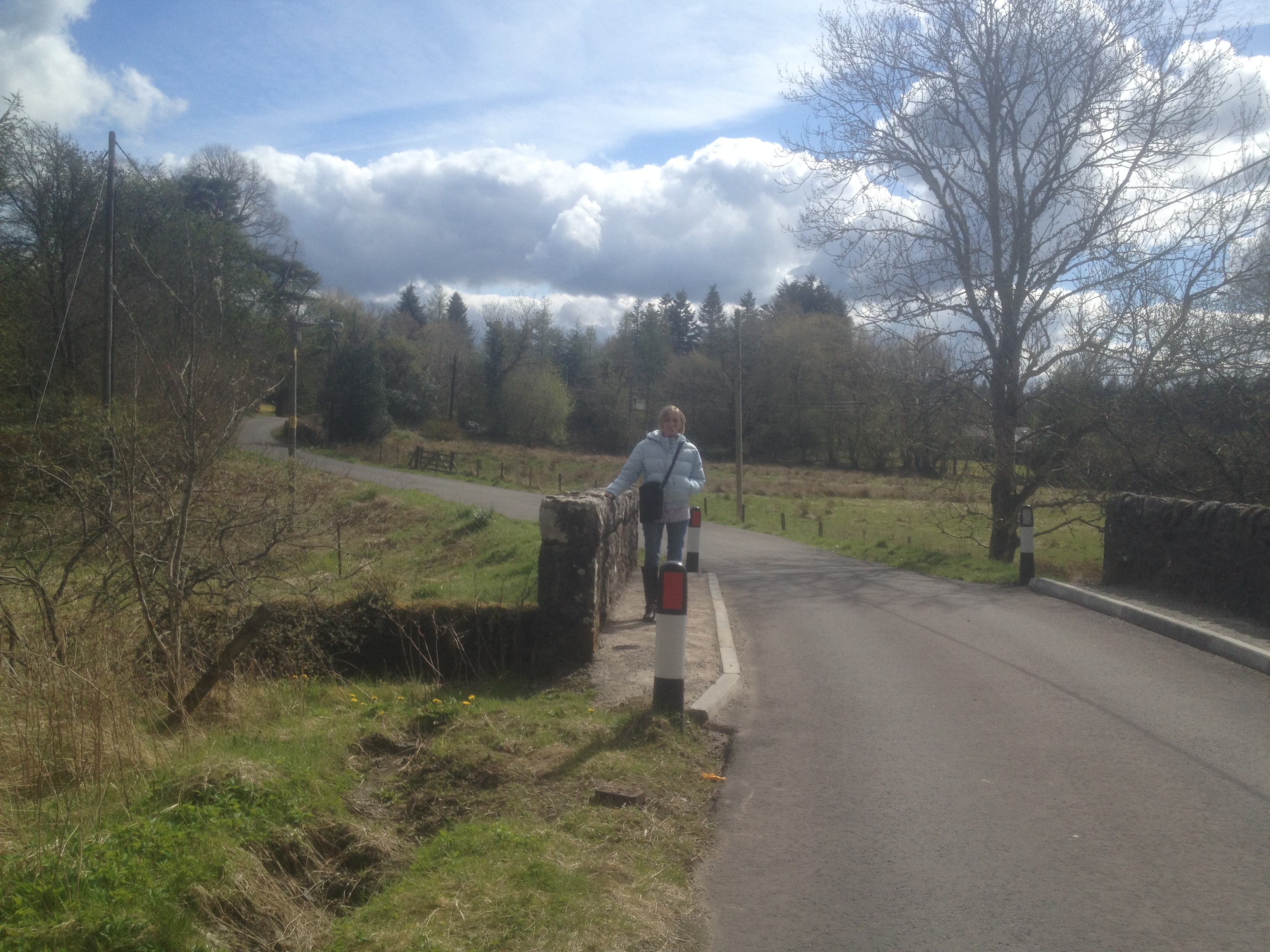
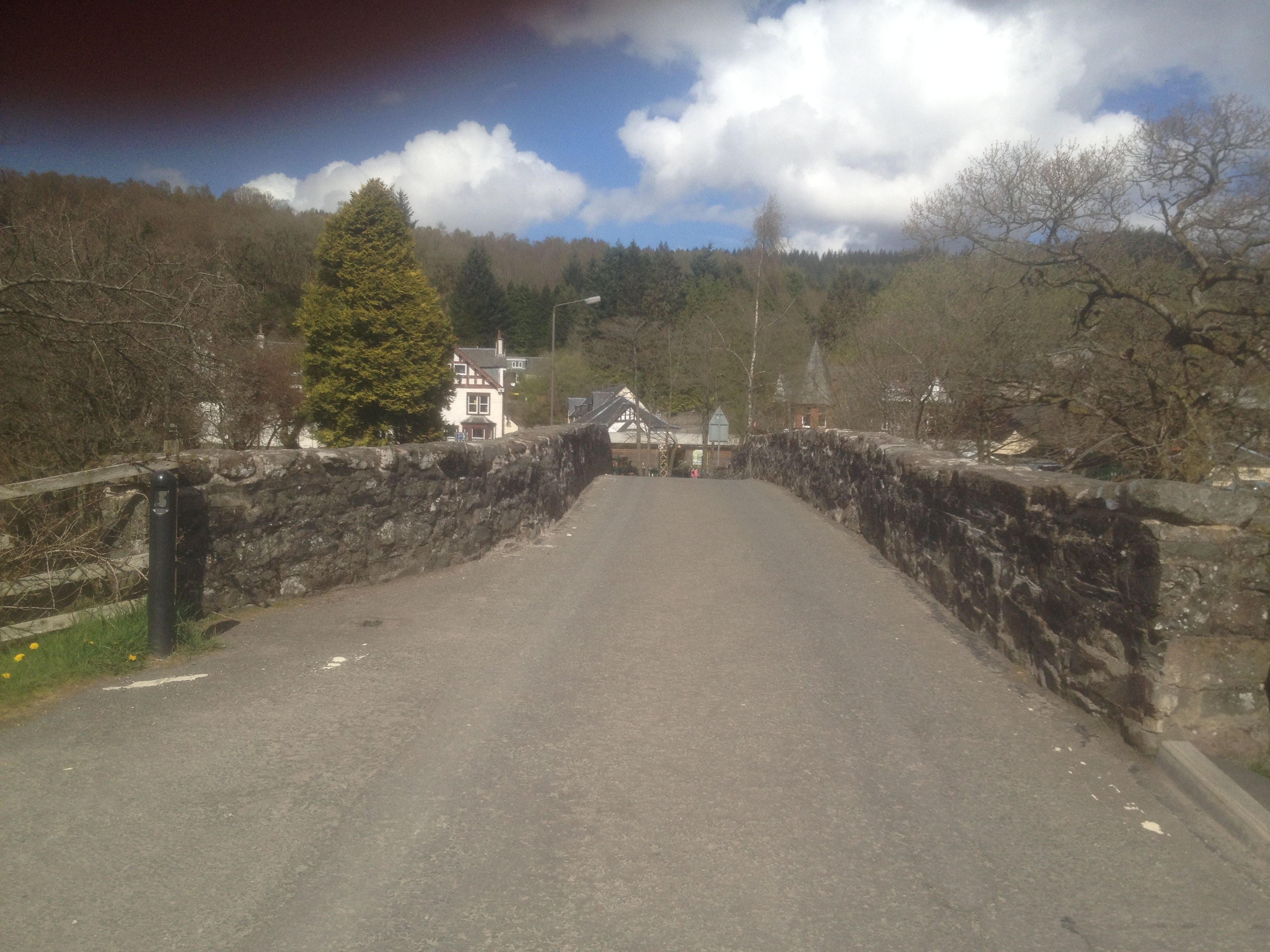
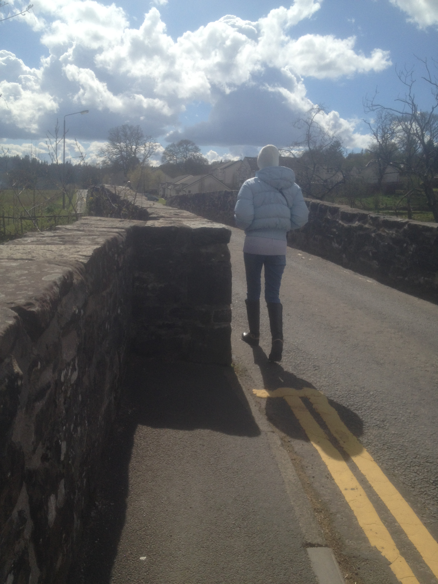
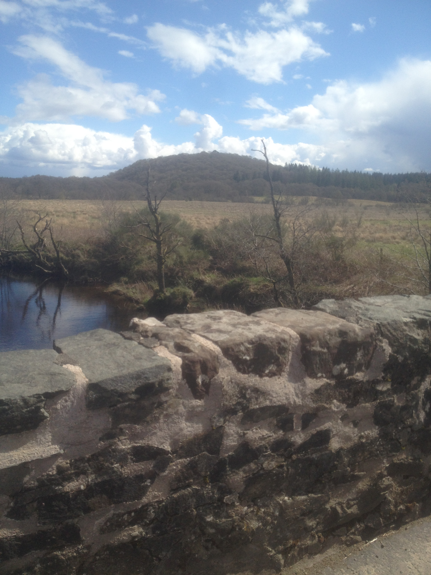
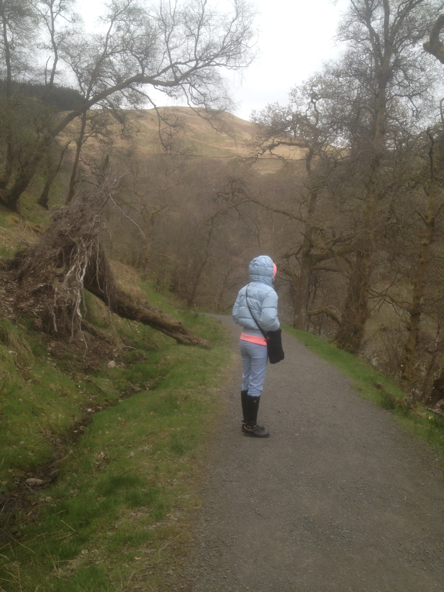
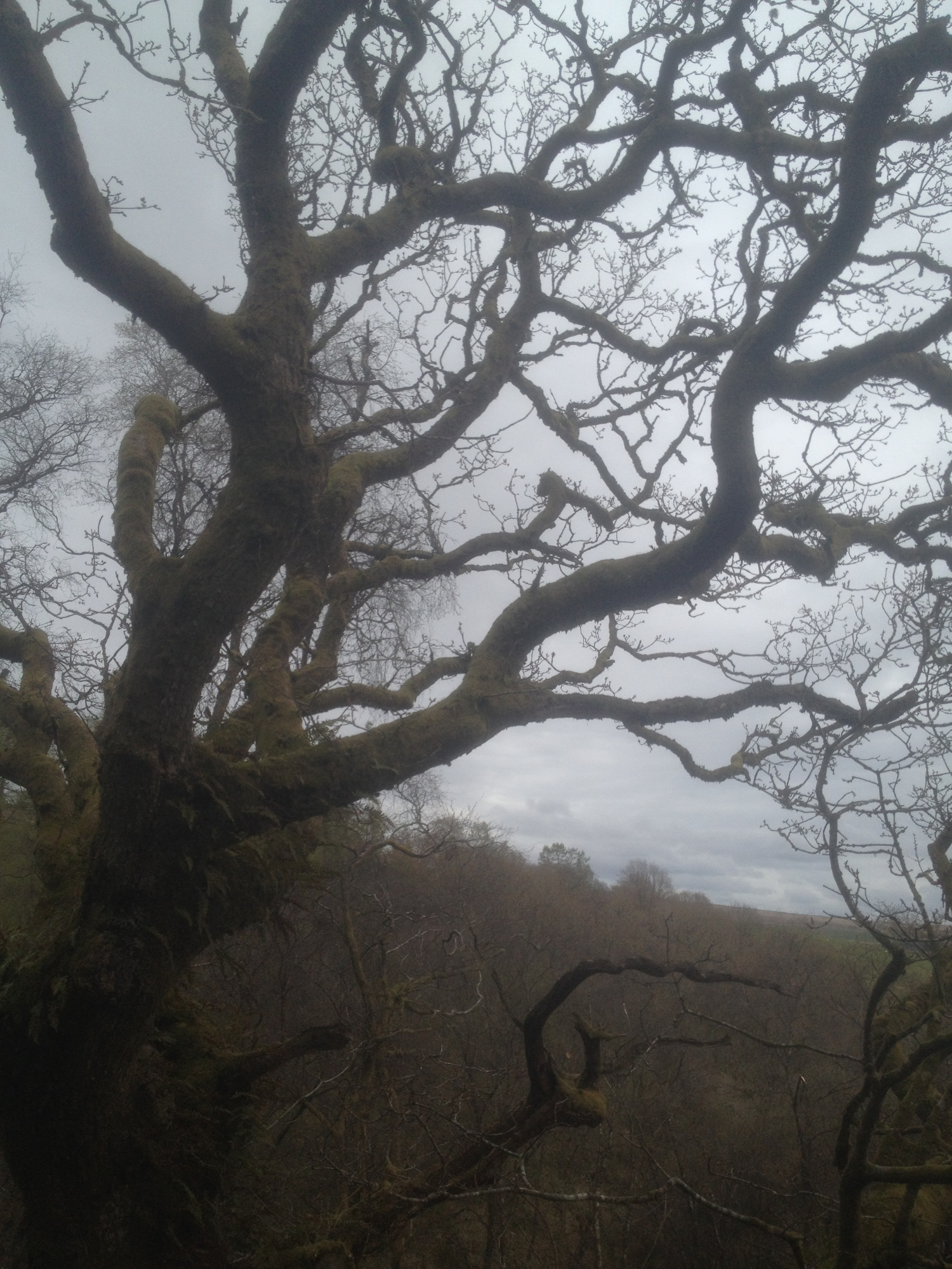
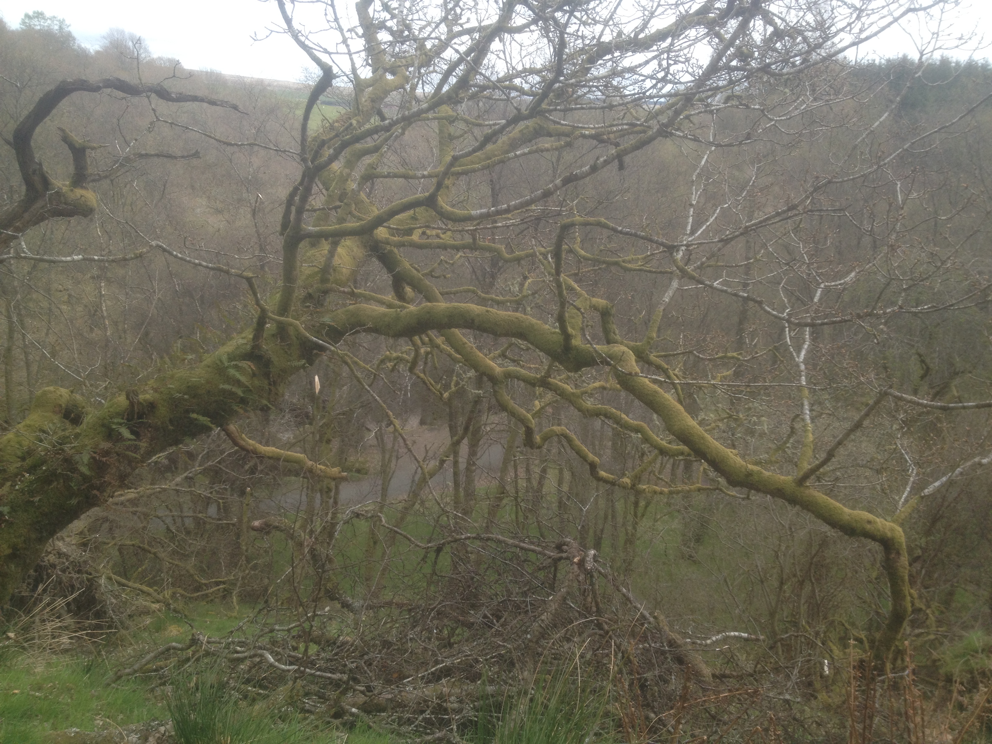
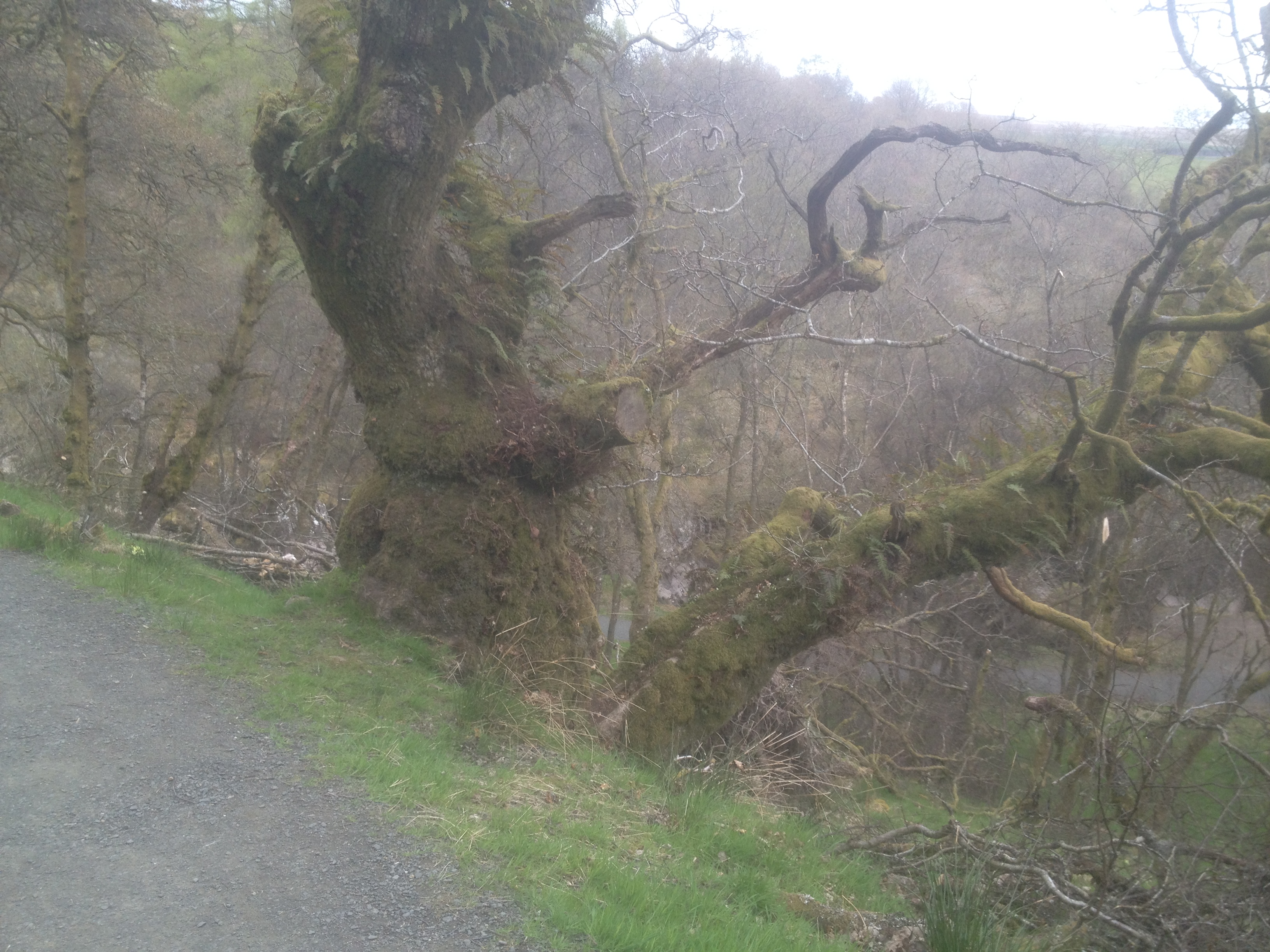
3. The Trossachs - Scotland
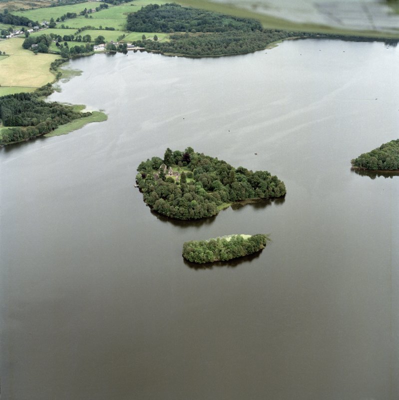
The Trossachs
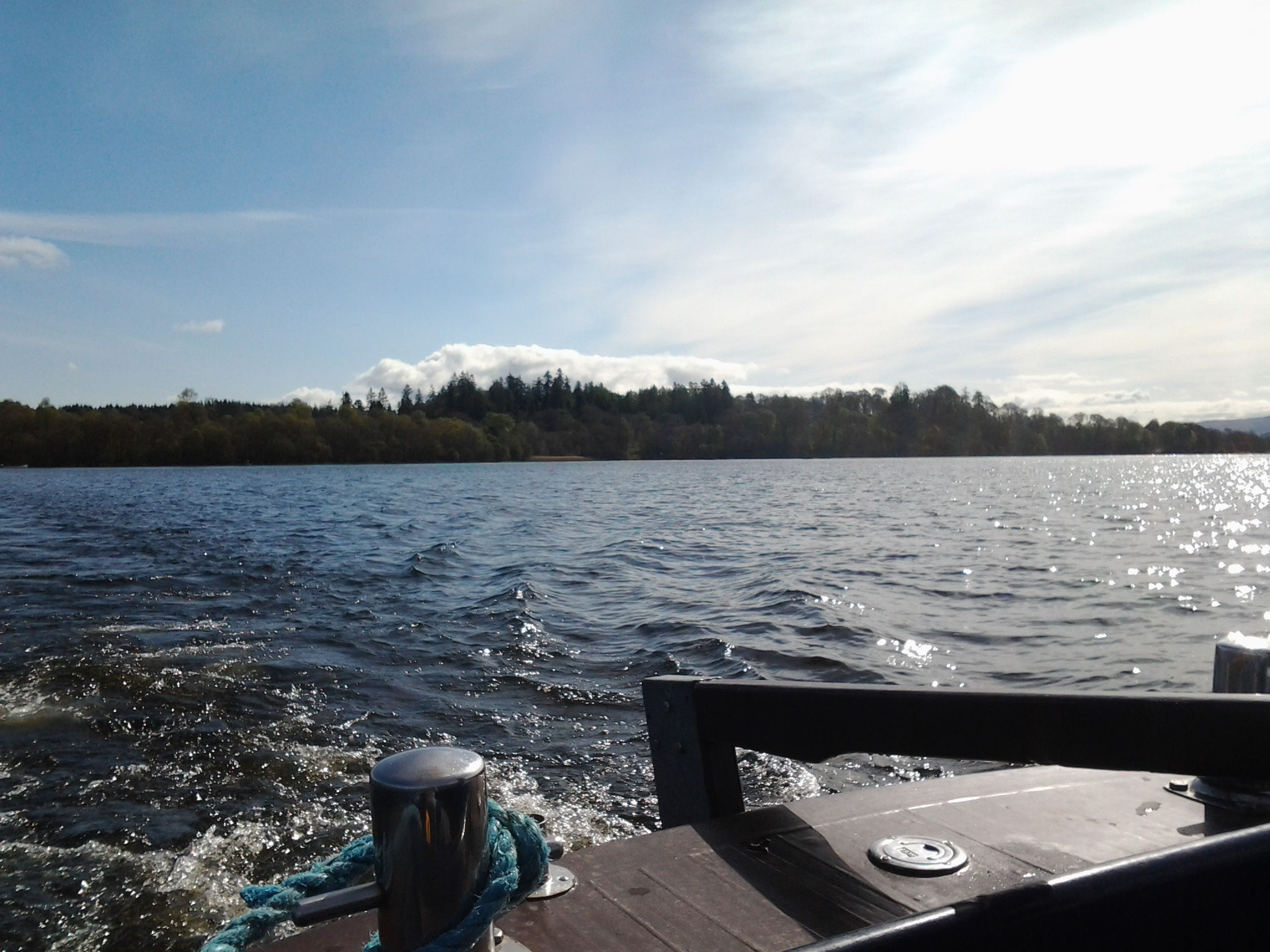
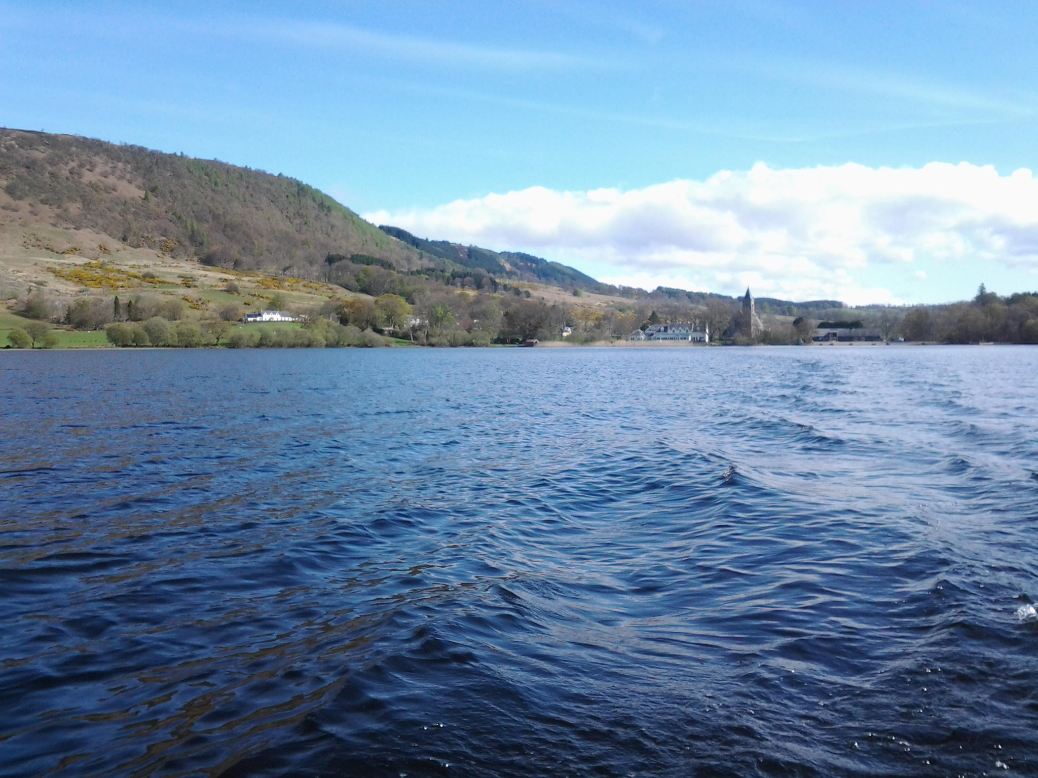
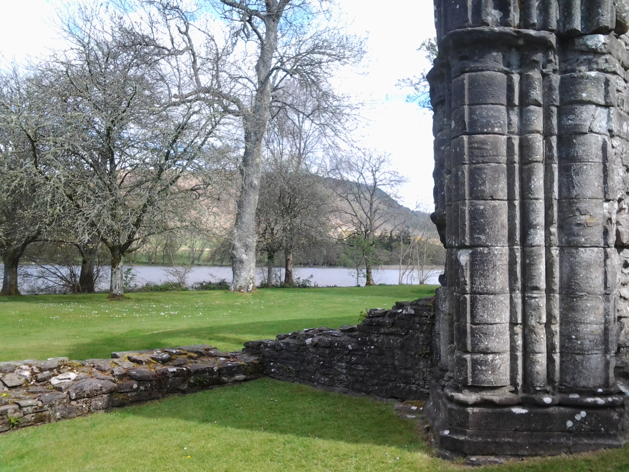
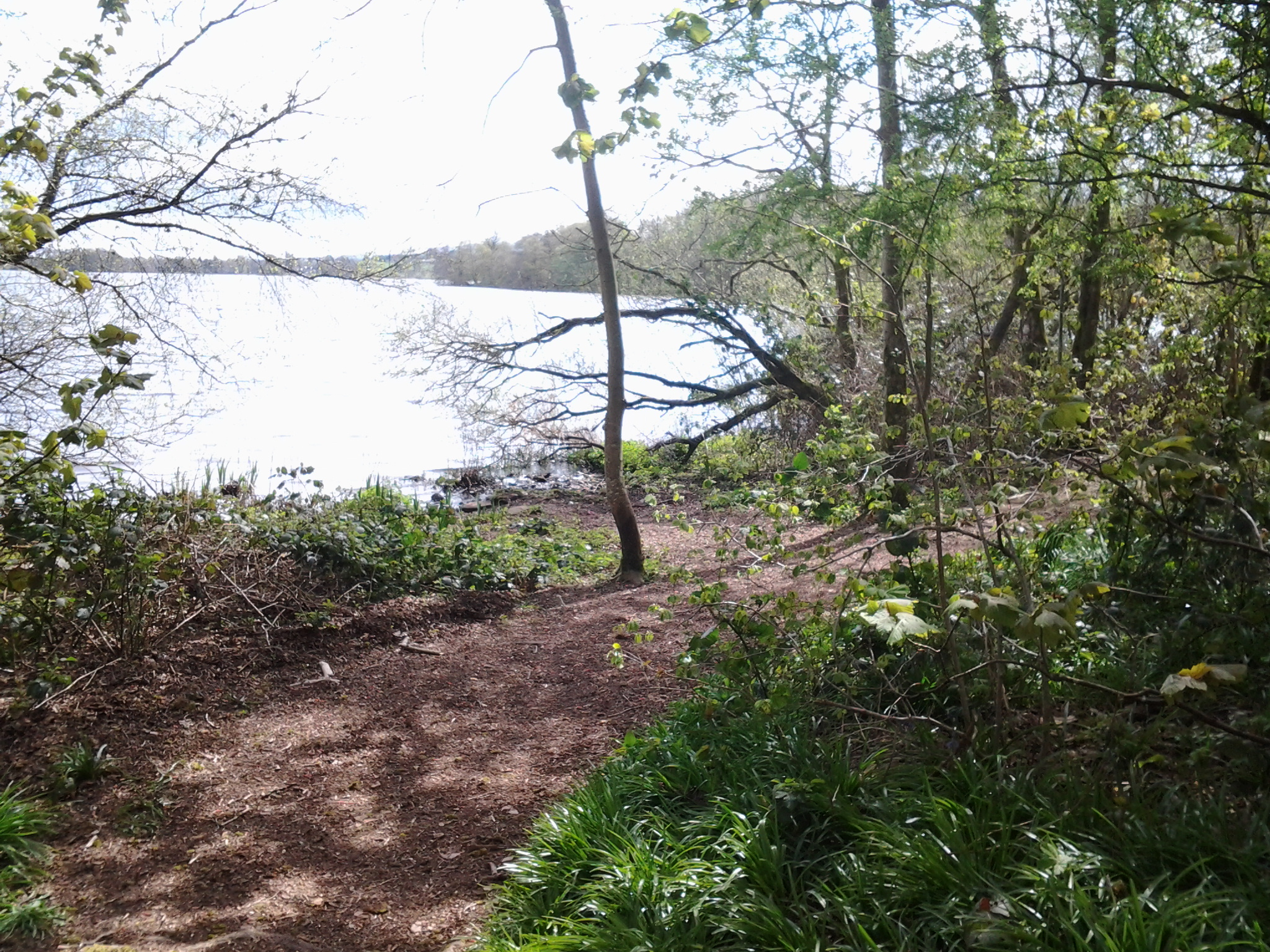
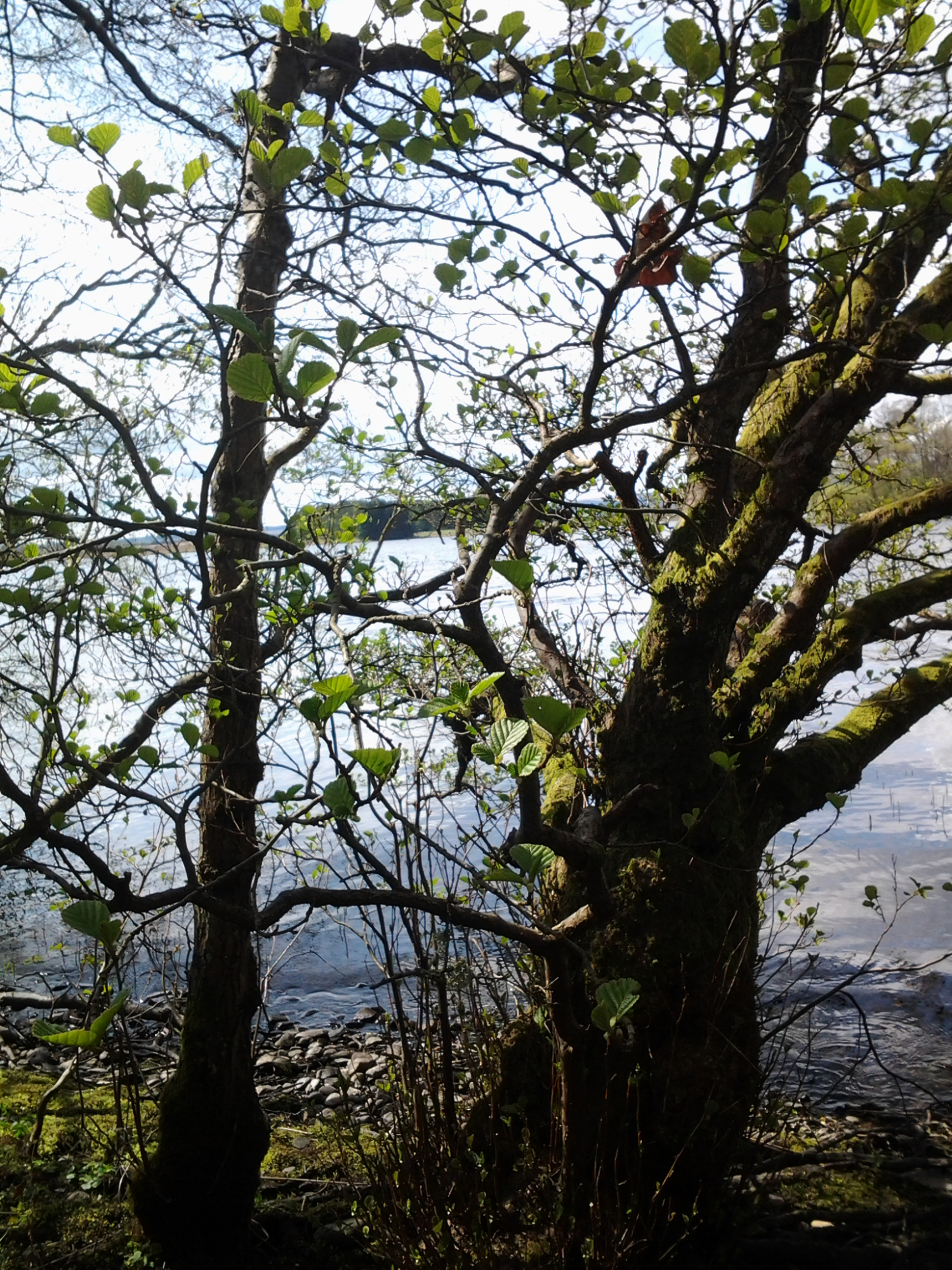
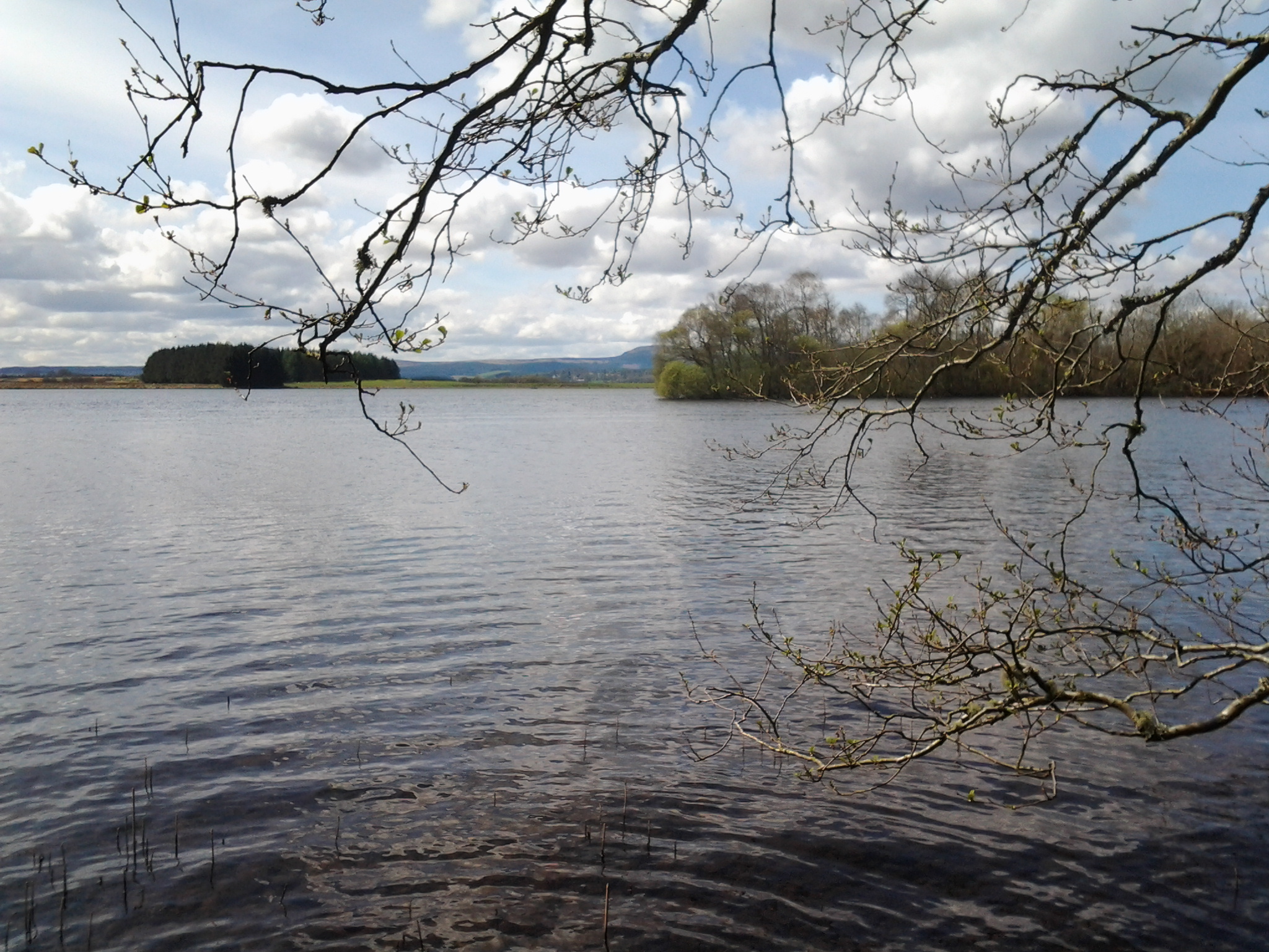
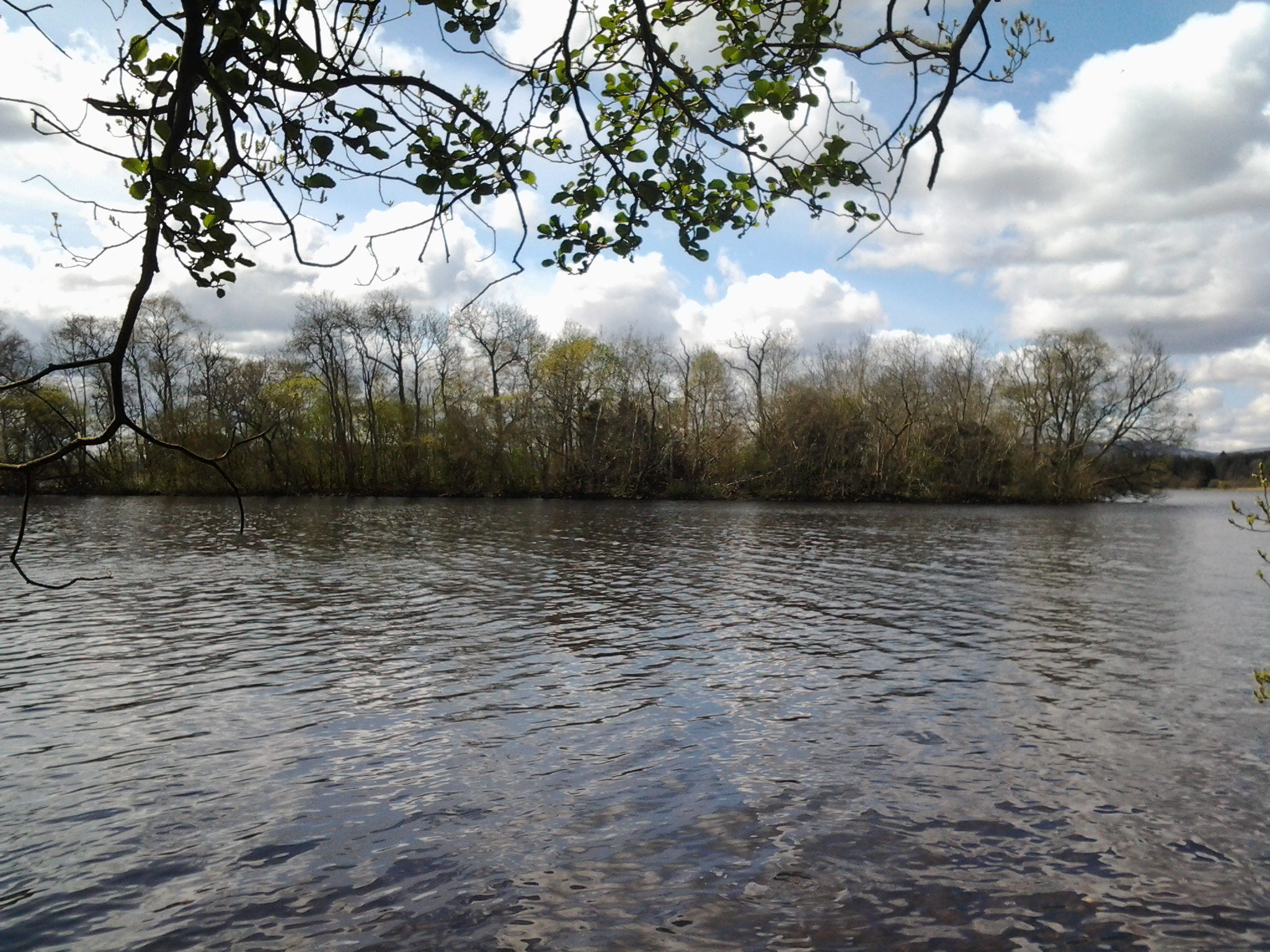
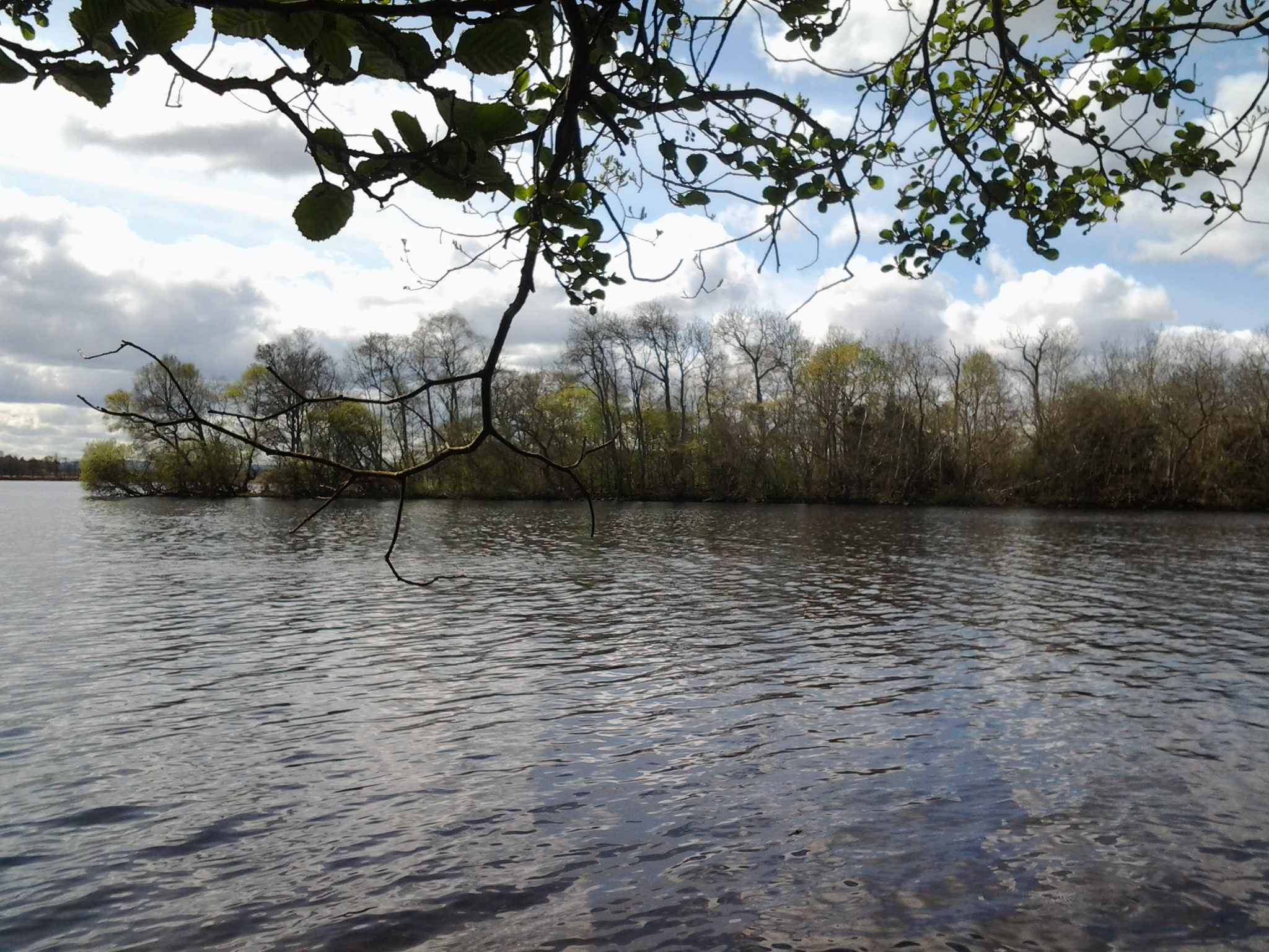
The Trossachs - Scottish Gaelic, Na Trosaichean) is a small woodland glen in the Stirling council area of Scotland. It lies between Ben A'an to the north and Ben Venue to the south, with Loch Katrine to the west and Loch Achray to the east. However, the name is used generally to refer to the wider area of wooded glens and braes with quiet lochs, lying to the east of Ben Lomond. The Lake of Menteith, in the strictest sense Scotland's only natural lake, lies about six miles (10 km) to the south east of the glen, on the edge of the Trossachs area.
The scenic charms of the area came to popularity with Sir Walter Scott's 1810 poem The Lady of the Lake, extending his romantic portrayal of Scotland's past from border ballads to poems of a medieval past rich in chivalry and symbolism. The poem gives a roll call of Trossachs place names, the lady herself being found on Loch Katrine. Scott followed up with his 1817 historical novel Rob Roy romanticising the outlaw cattle thief Raibert Ruadh born by Loch Katrine and buried at nearby Balquhidder.
Lake of Menteith
There are a number of small islands in the loch. On the largest, Inchmahome, is Inchmahome Priory, an ancient monastery. The priory served as refuge to Mary, Queen of Scots, in 1547. She was only four years old at the time and stayed for three weeks after the disastrous Battle of Pinkie Cleugh in September of that year.
The Loch is not particularly deep and can freeze over completely in exceptionally cold winters.
The Lake of Menteith is often thought of as the only body of water in Scotland that is referred to as a lake. Actually, there are others, including four small artificial bodies: Pressmennan Lake, the Lake of the Hirsel, Lake Louise (within the grounds of Skibo Castle), Raith Lake in Kirkcaldy and Cally Lake (near Gatehouse of Fleet). There is also a sea bay near Kirkcudbright known as Manxmans Lake. Nearly all other major bodies of water in Scotland are known as lochs.
This unusual name is believed to be due to a corruption by 16th-century Dutch cartographers of the Lowland Scots Laich o Menteith, where "laich" simply means "low place".
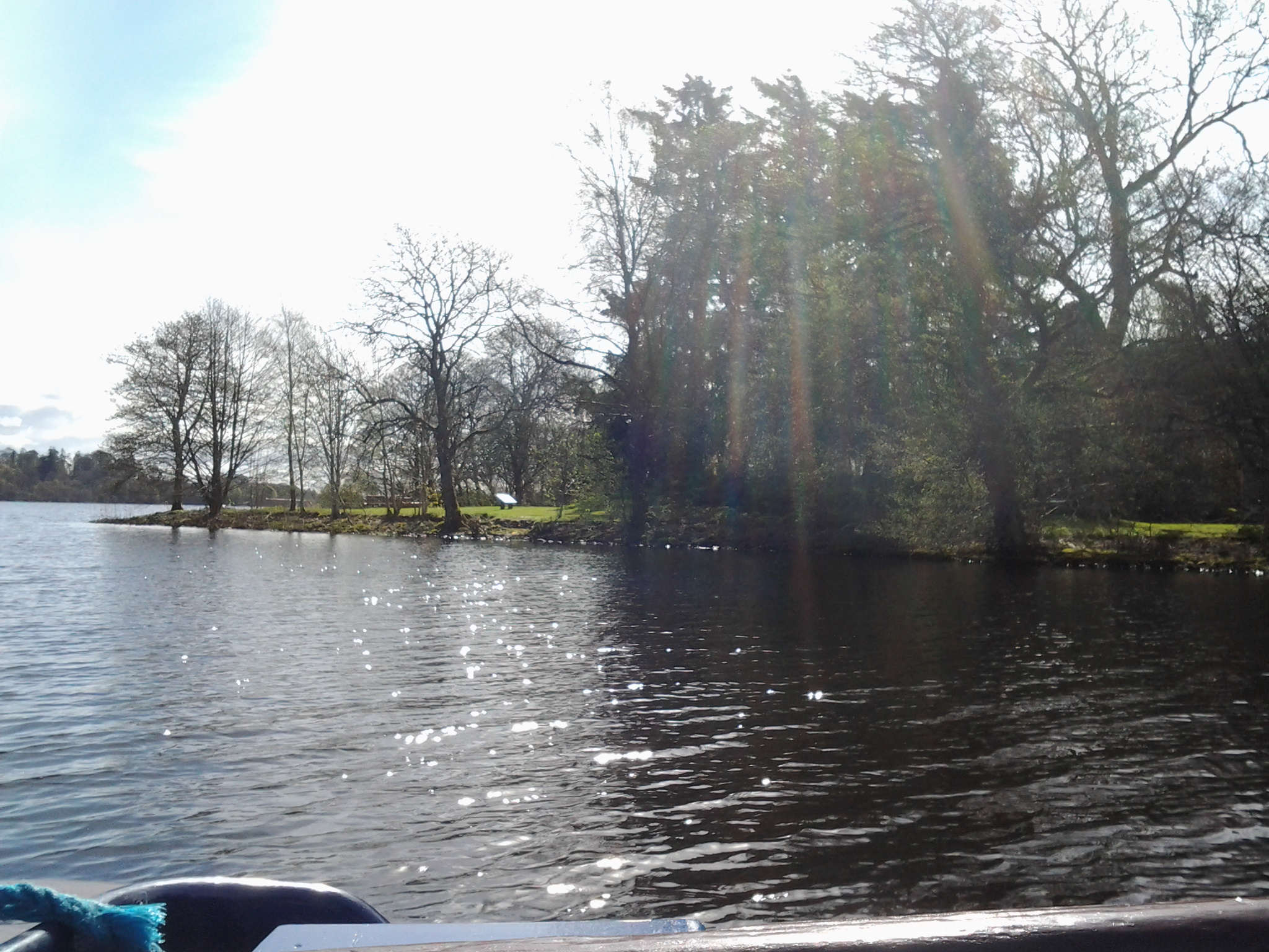
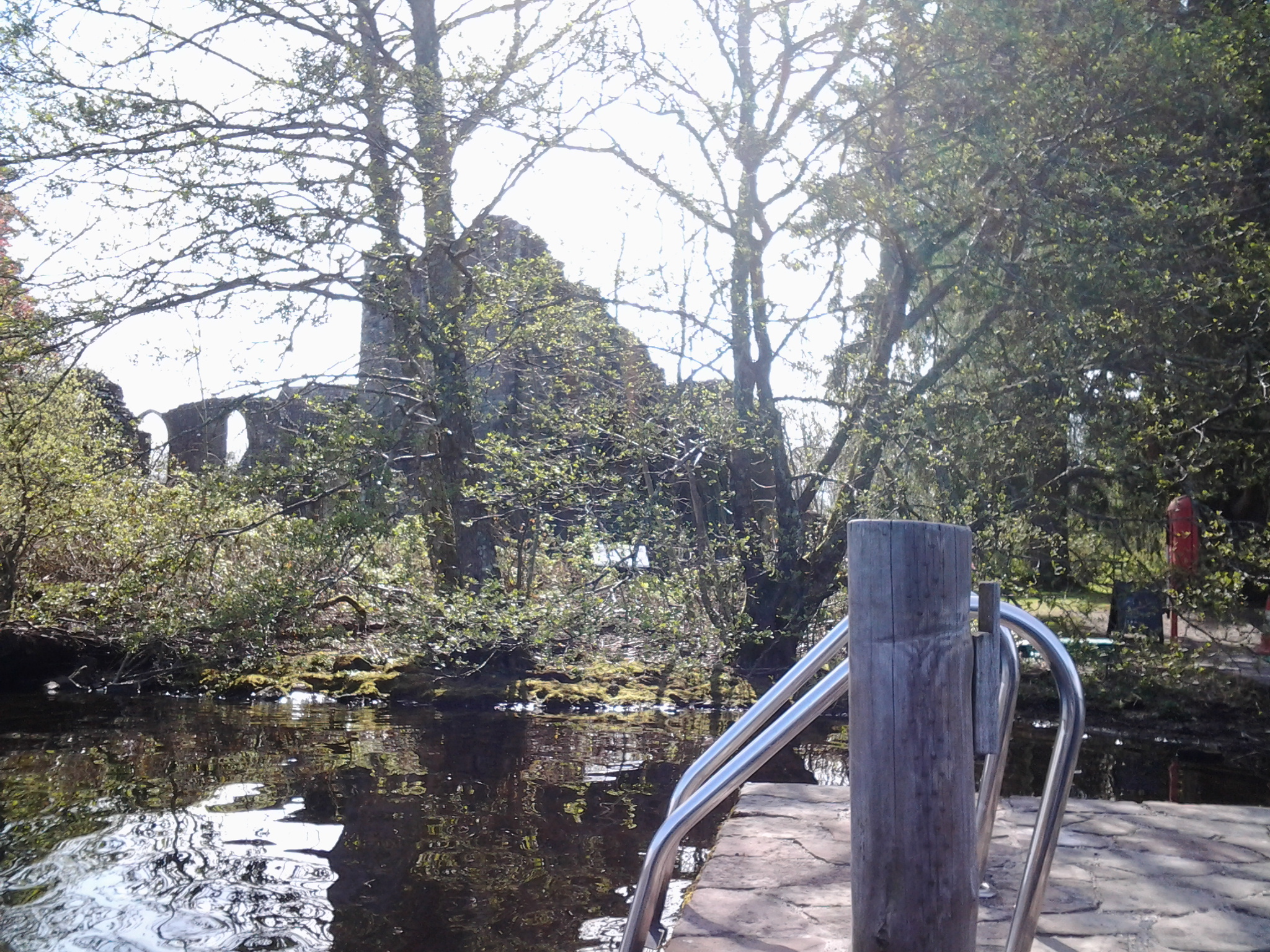
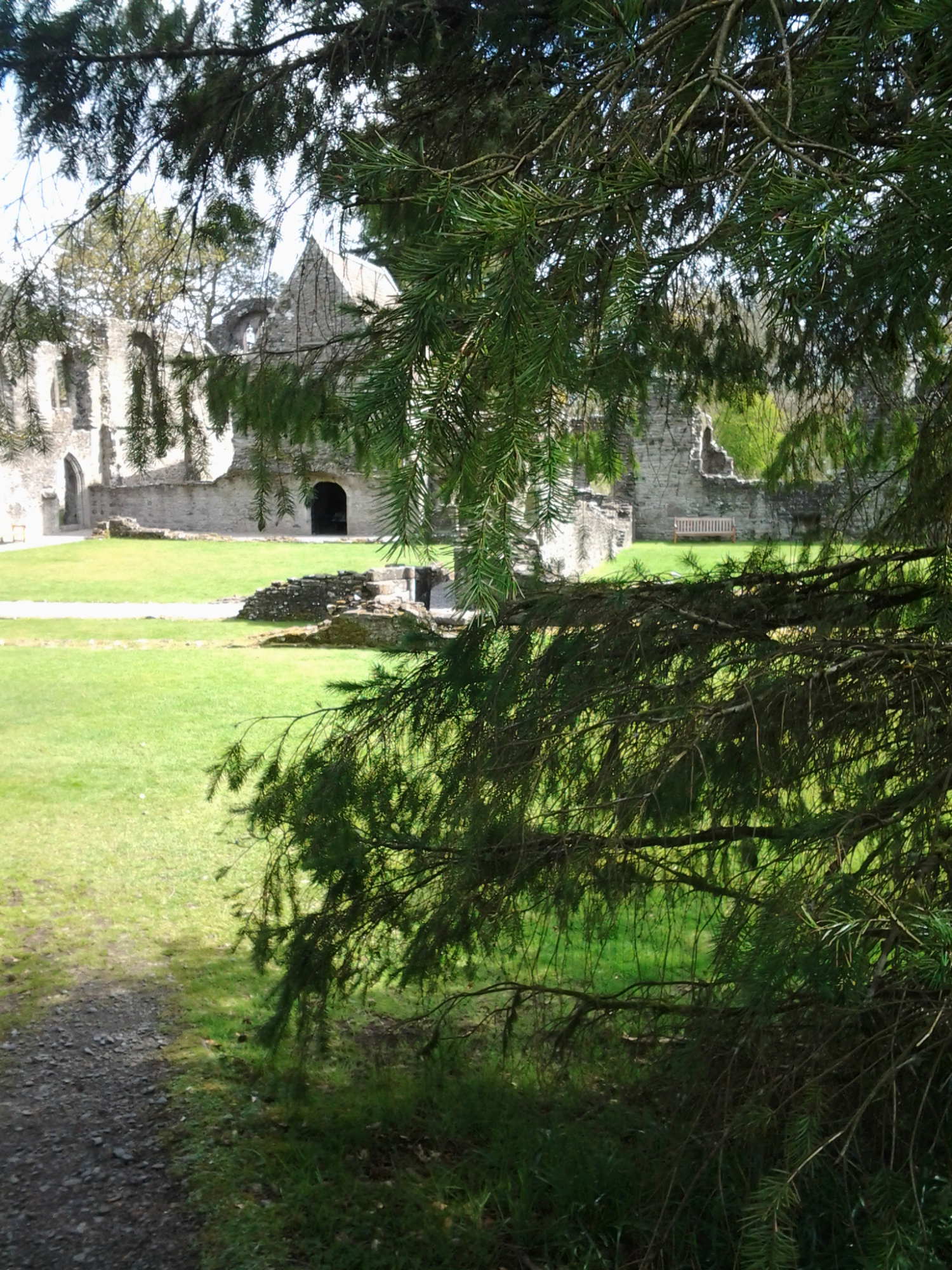
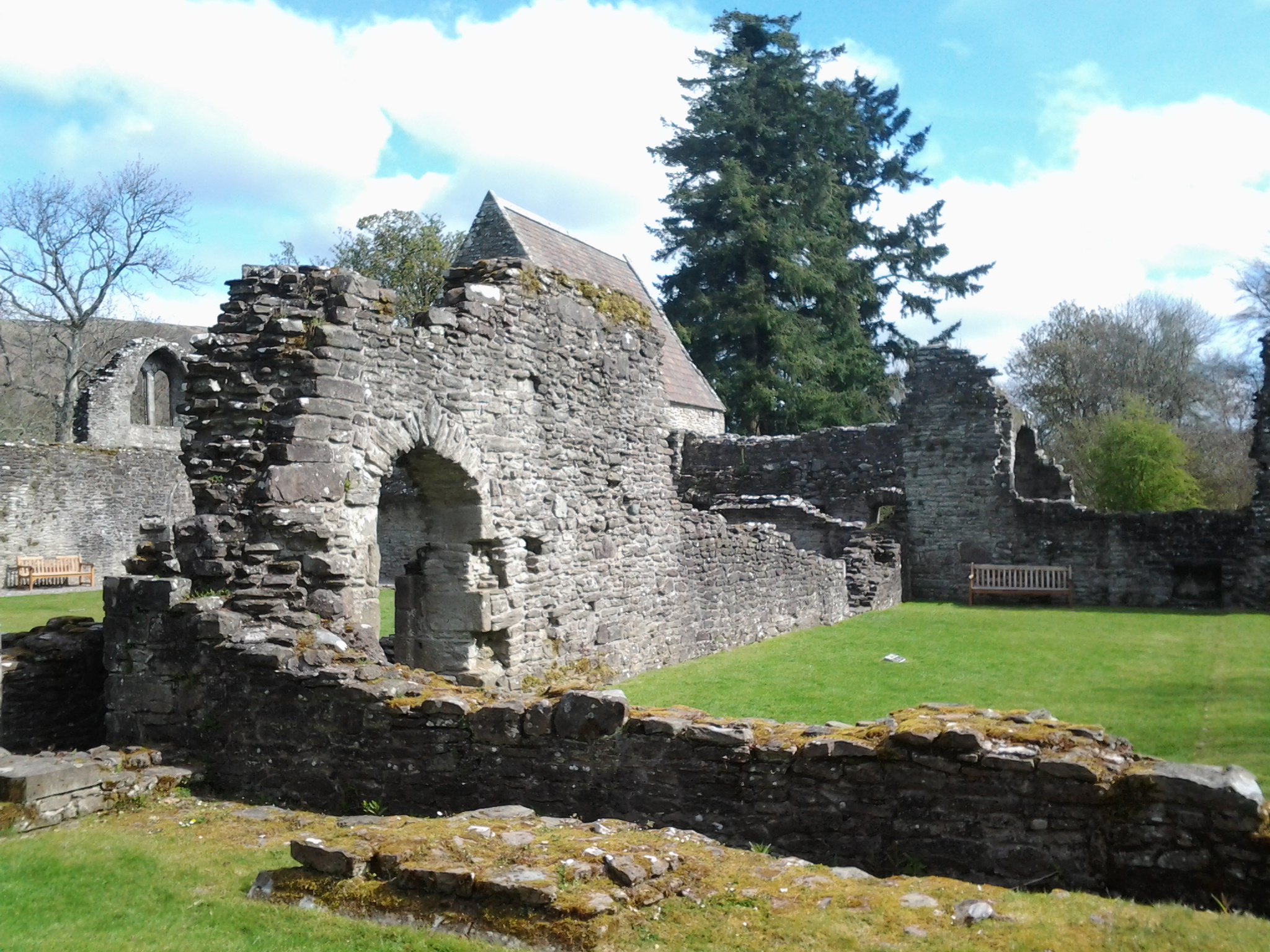
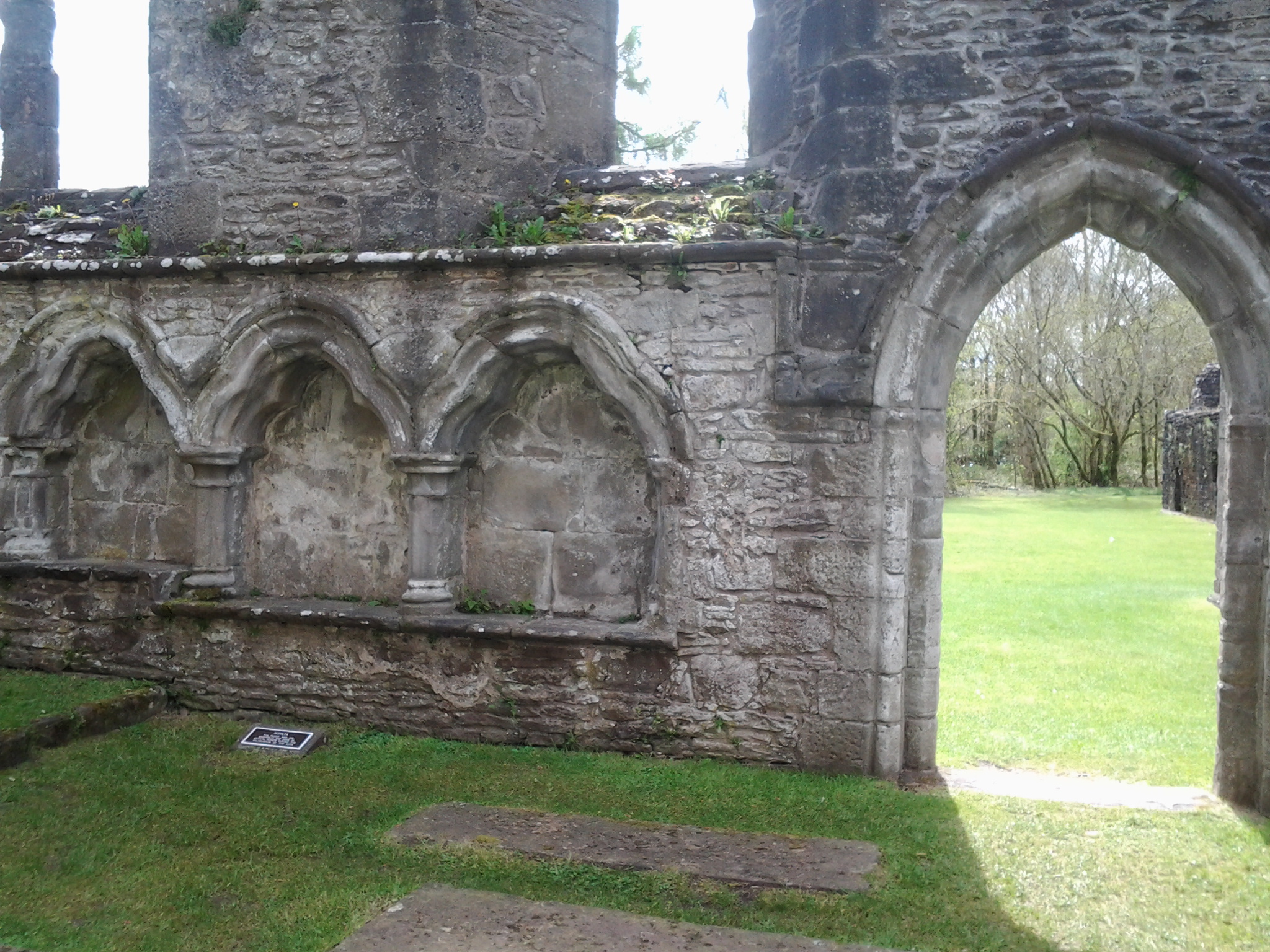
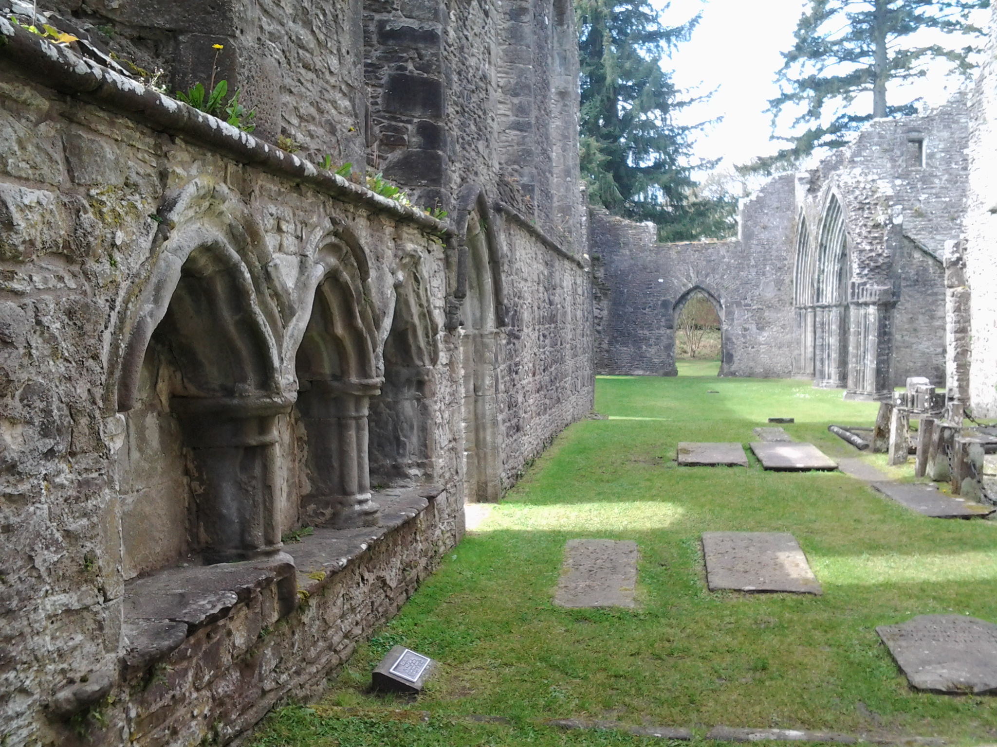
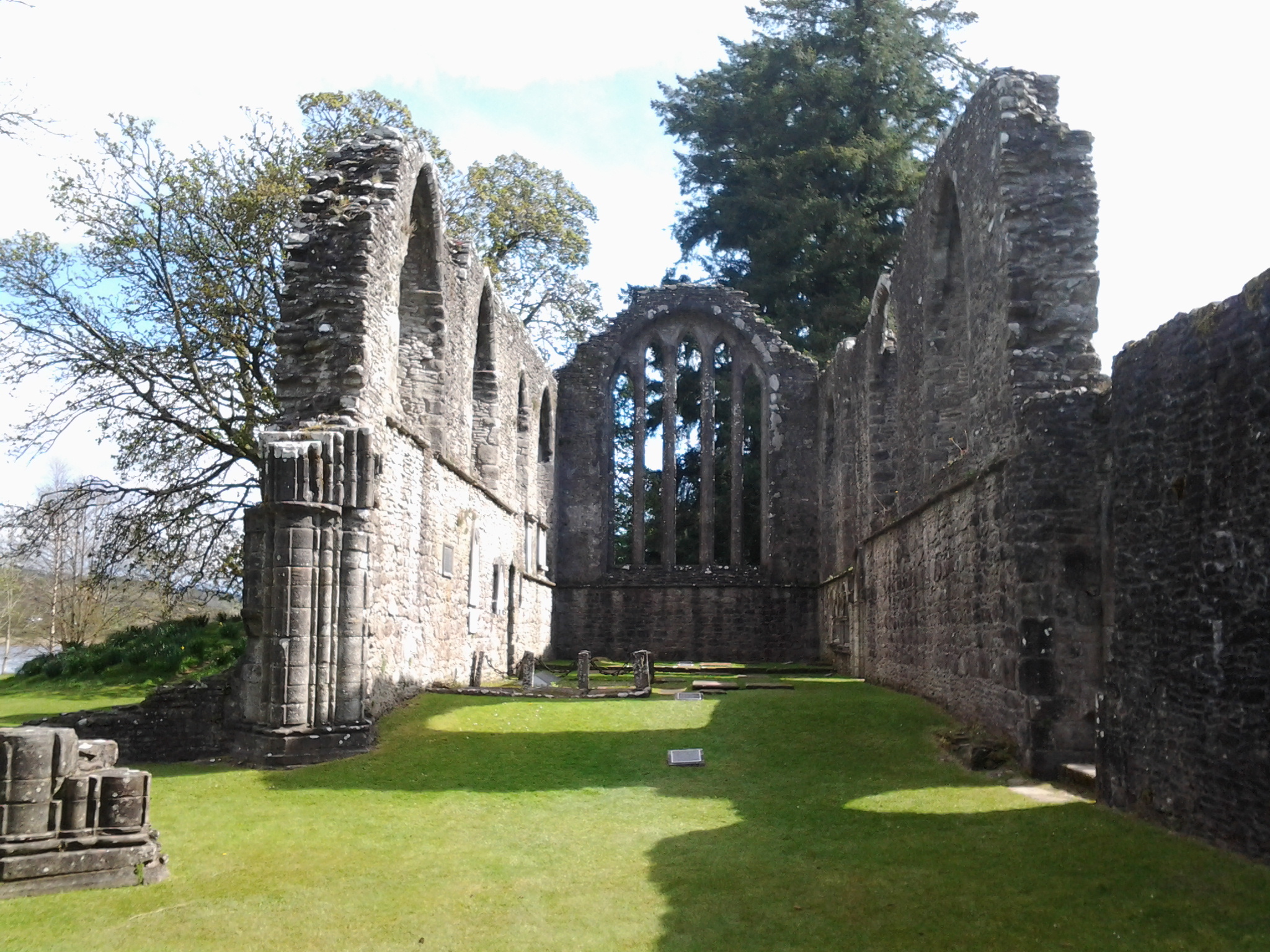
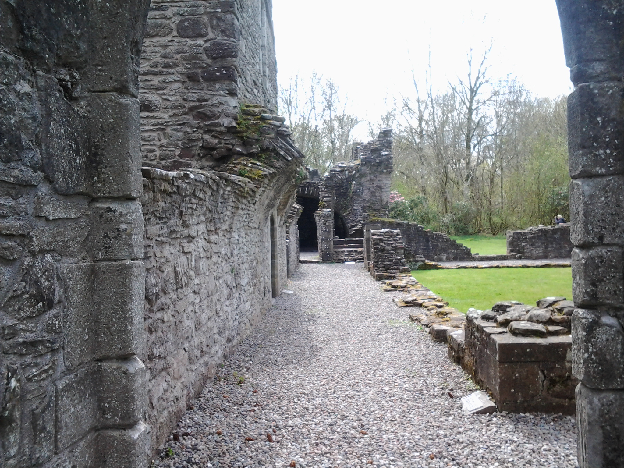
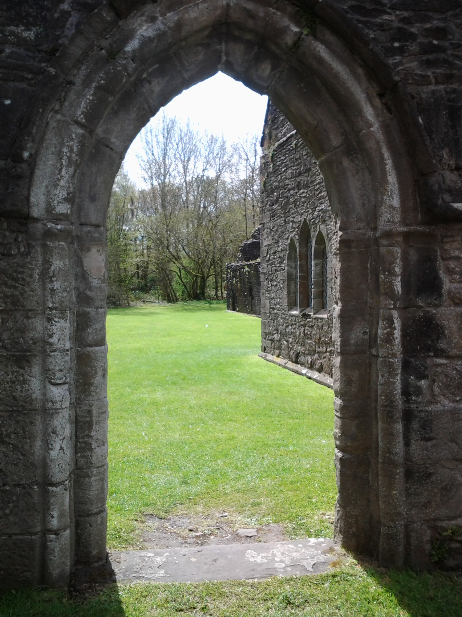
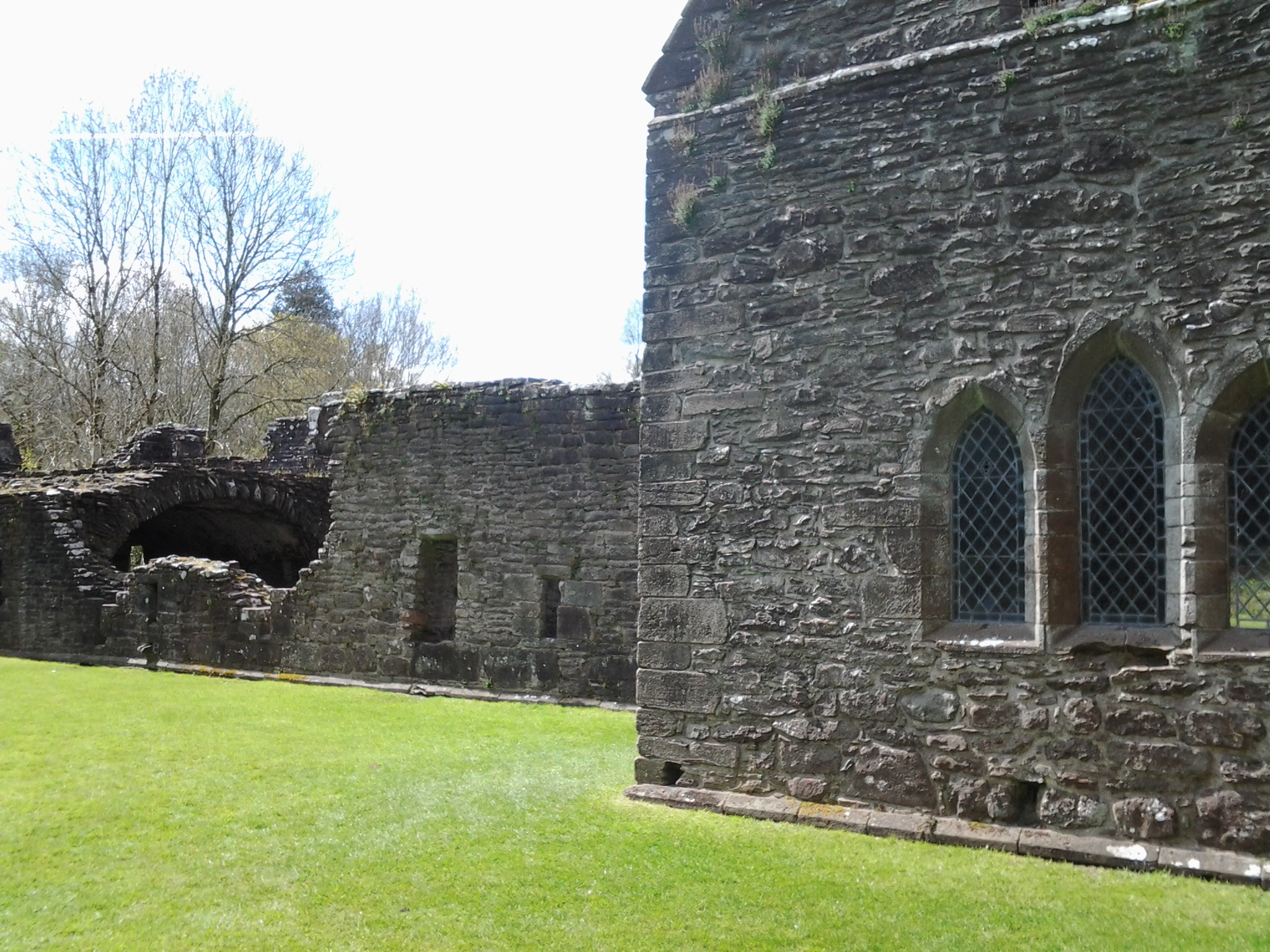
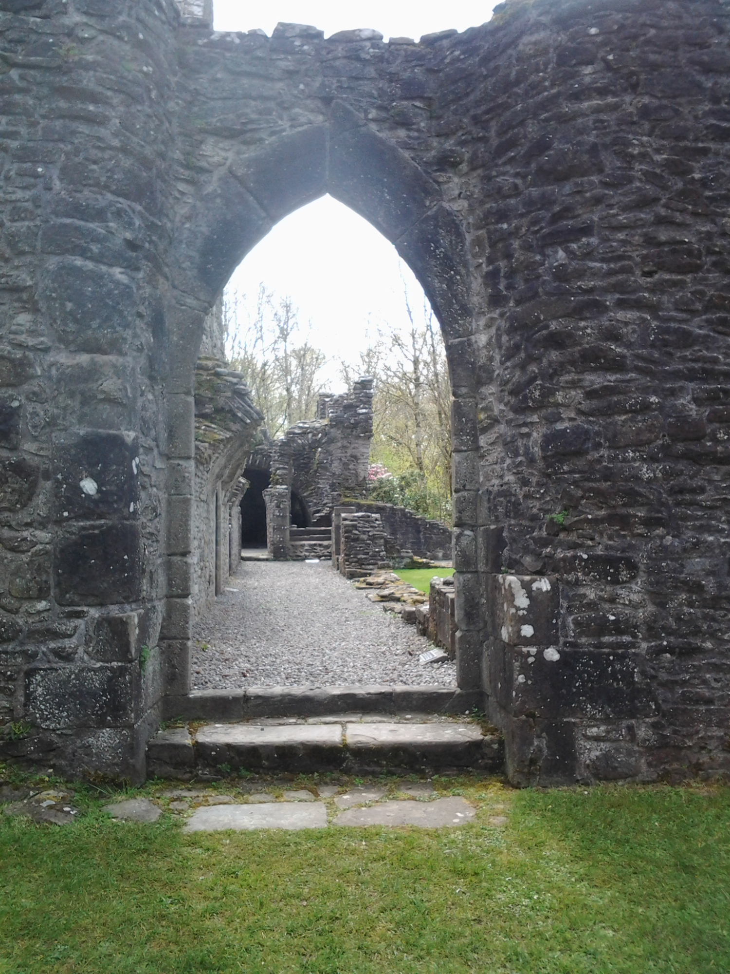
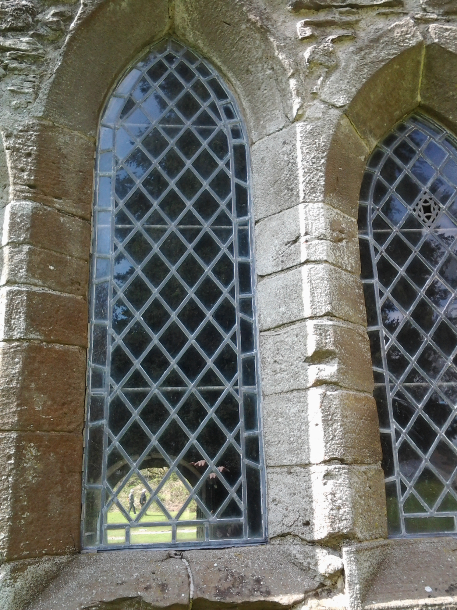
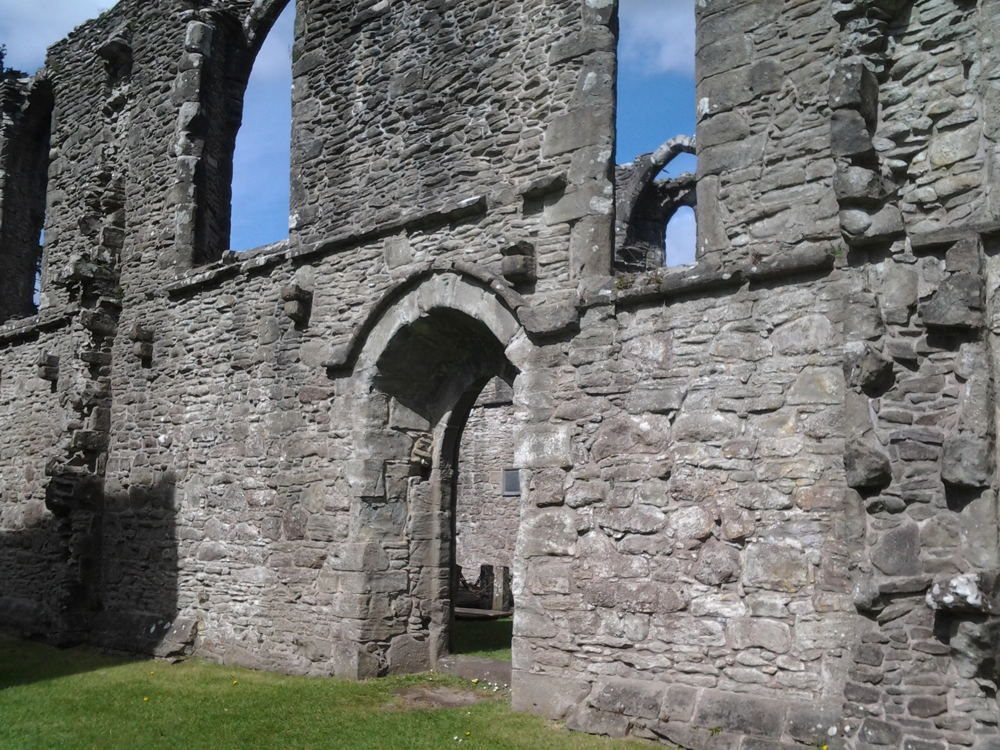
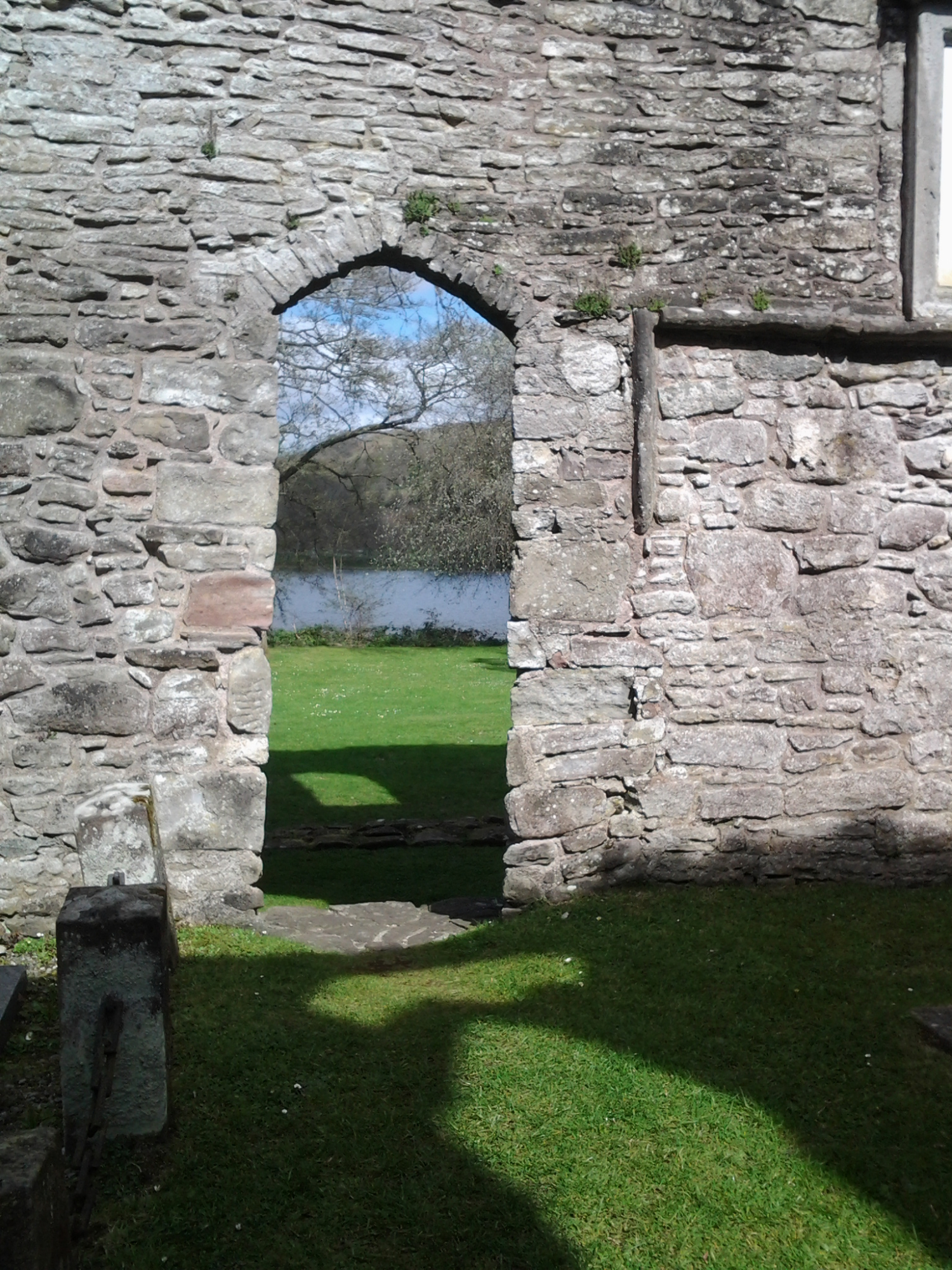
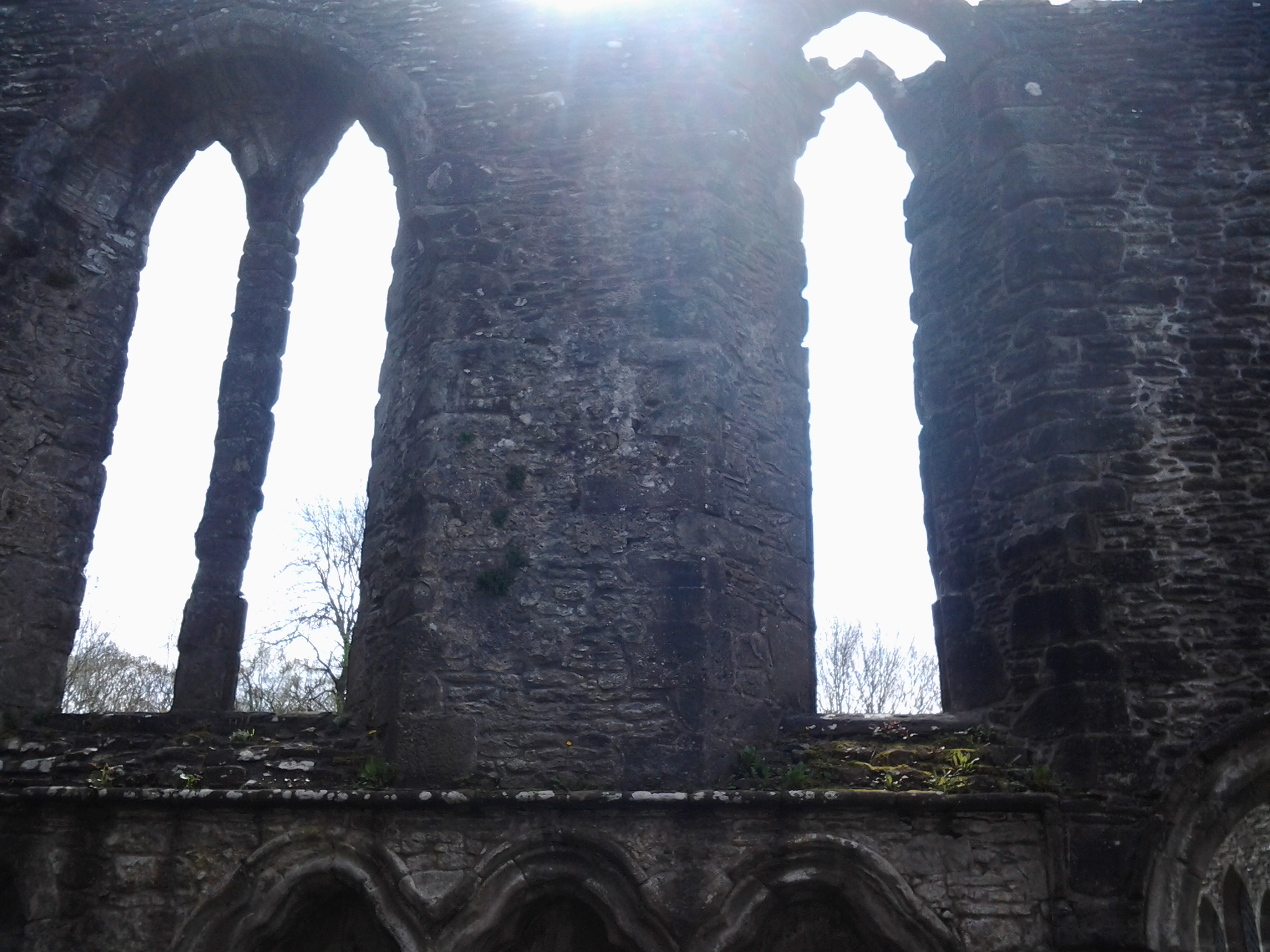
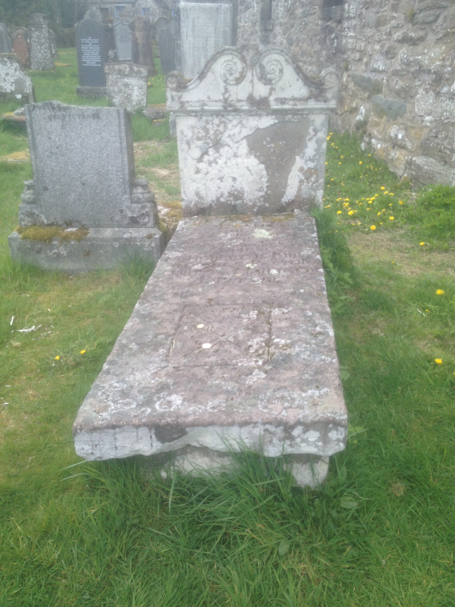
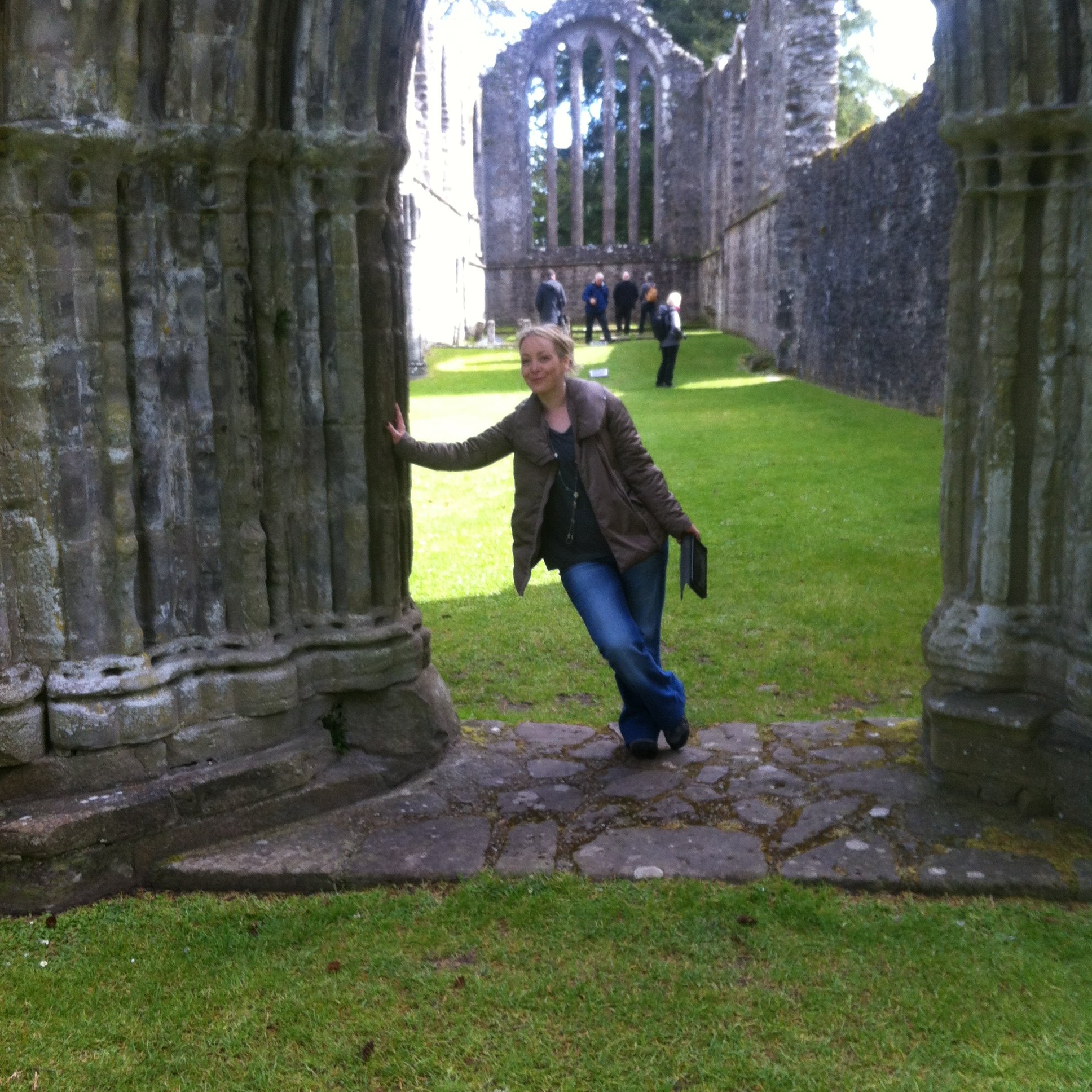
Inchmahome Priory is situated on Inchmahome ("Inch" meaning an island), the largest of three islands in the centre of Lake of Menteith, close to Aberfoyle, Scotland.
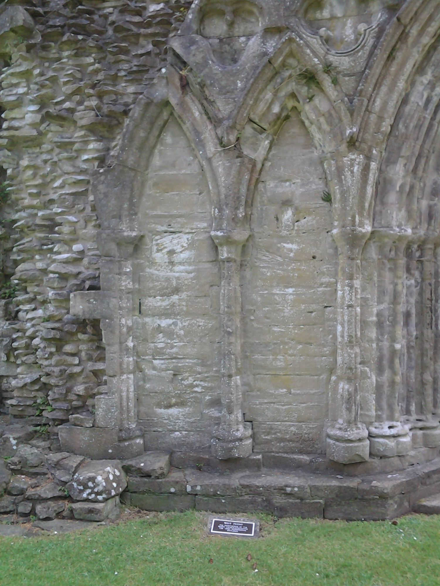
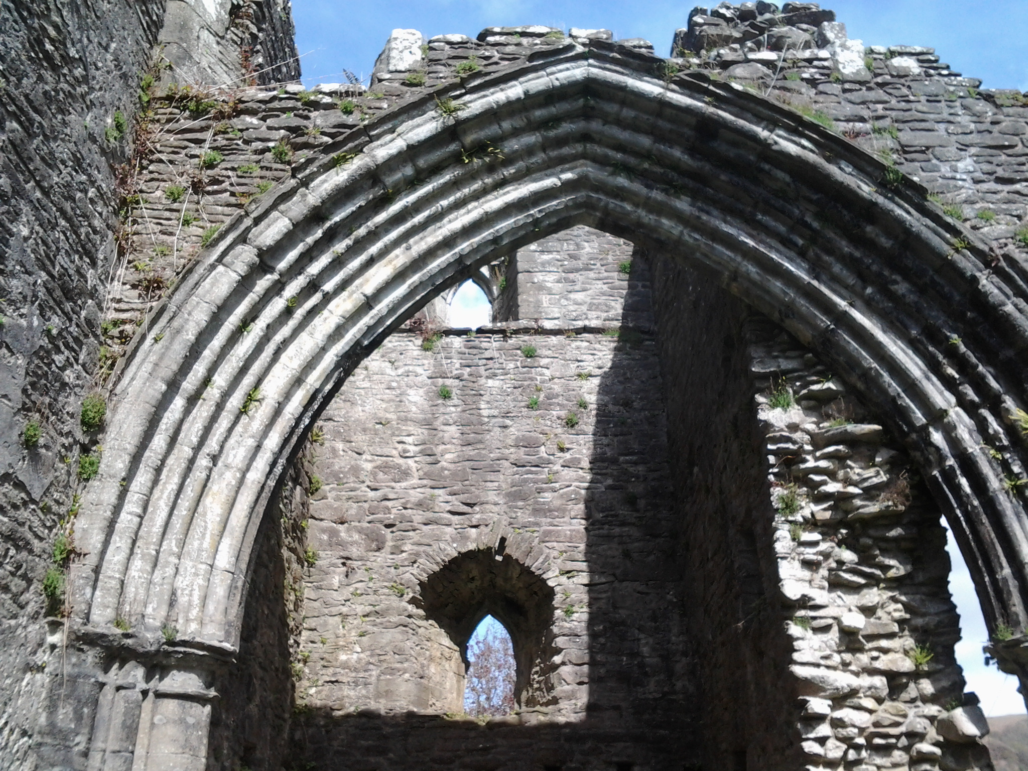
Inchmahome Priory
The name "Inchmahome" comes from the Gaelic Innis MoCholmaig, meaning Island of St Colmaig.
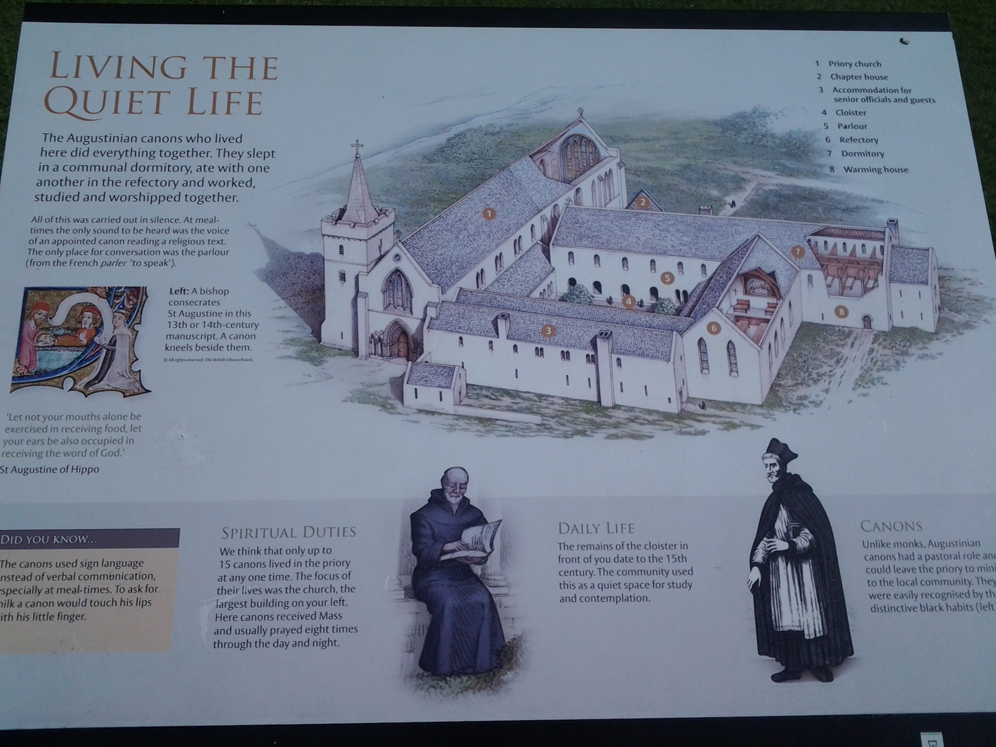
The priory was founded in 1238 by the Earl of Menteith, Walter Comyn, for a small community of the Augustinian Order (The Black Canons). The Comyn family were one of the most powerful in Scotland at the time, and had an imposing country house on Inch Talla, one of the other islands on the Lake of Menteith. There is some evidence that there was a church on the island before the priory was established, 'insula Macholem' or “isle of my dear St. Colman” mentioned in 1210.
Inchmahome is also known as “The Isle of Rest.”
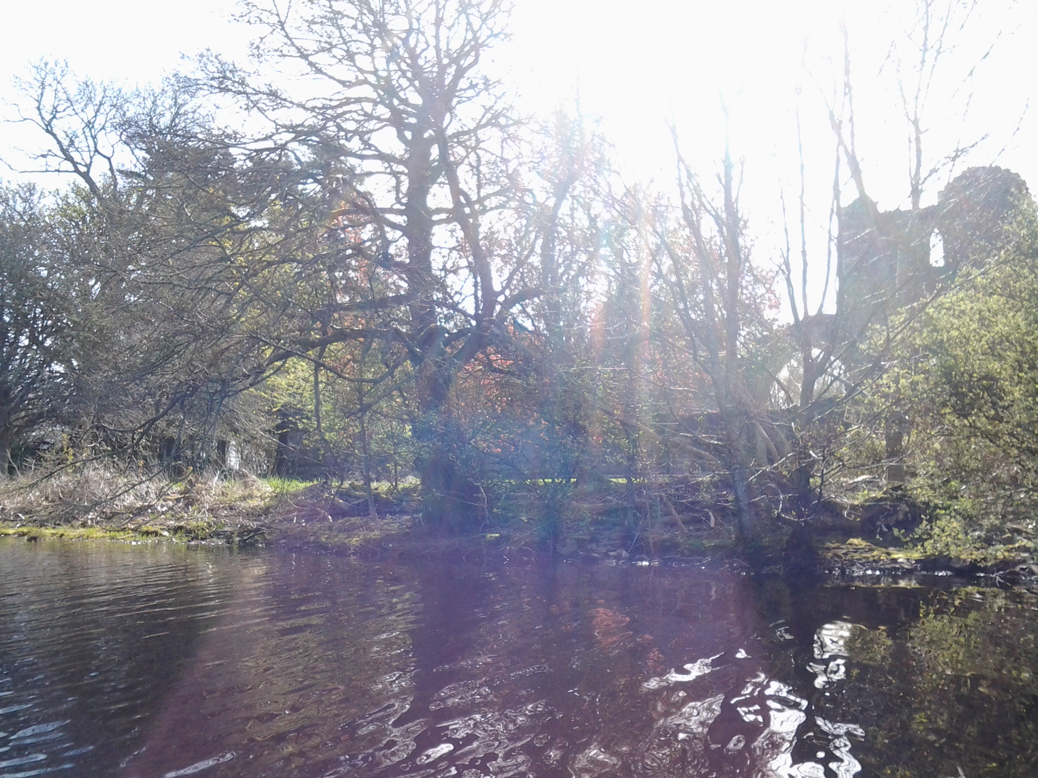
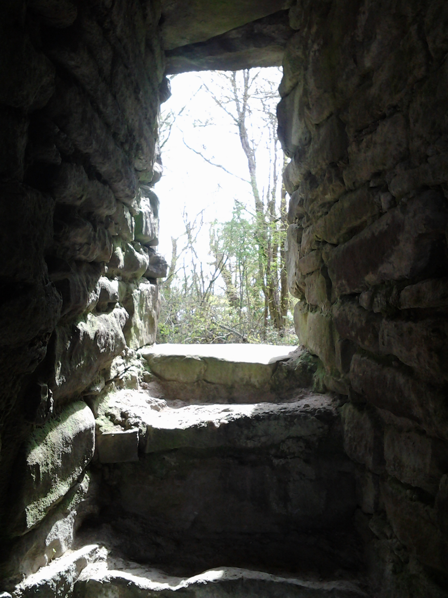
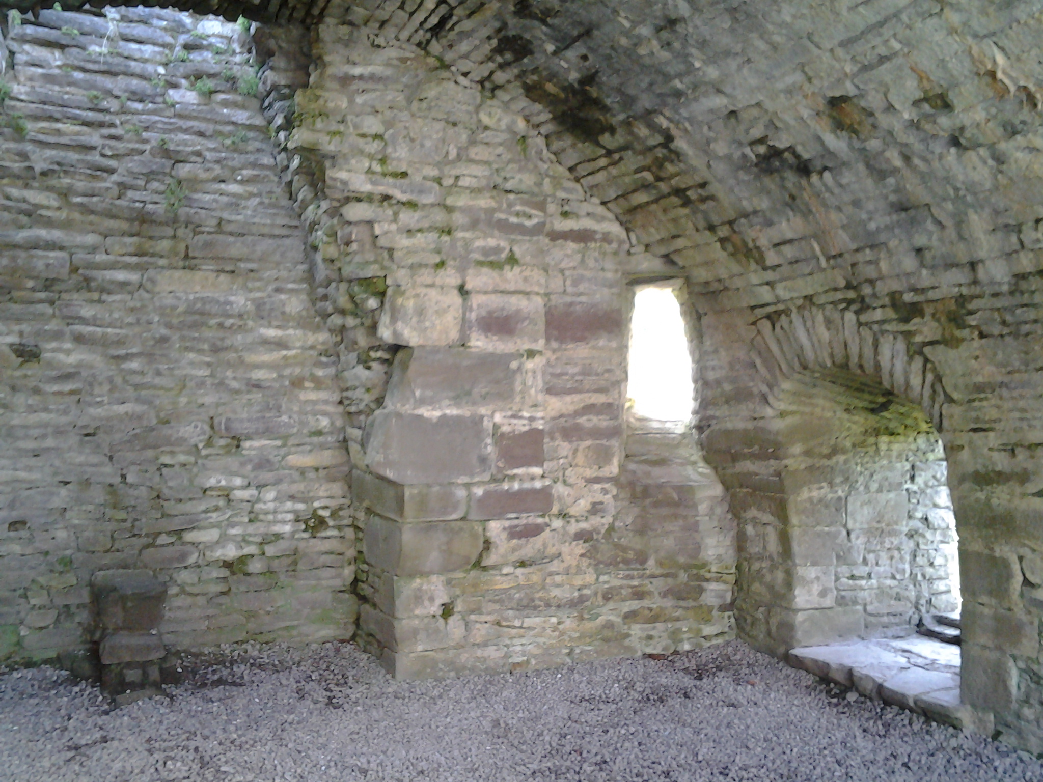
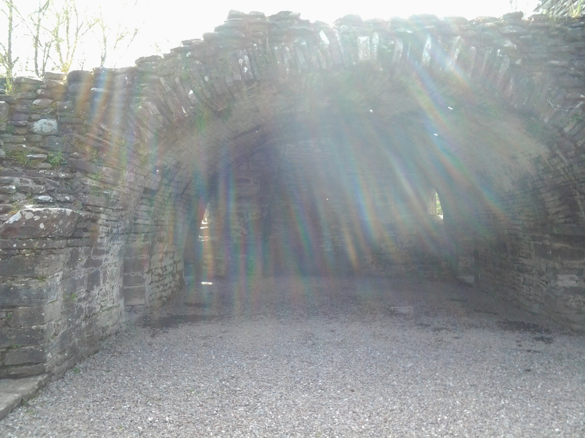
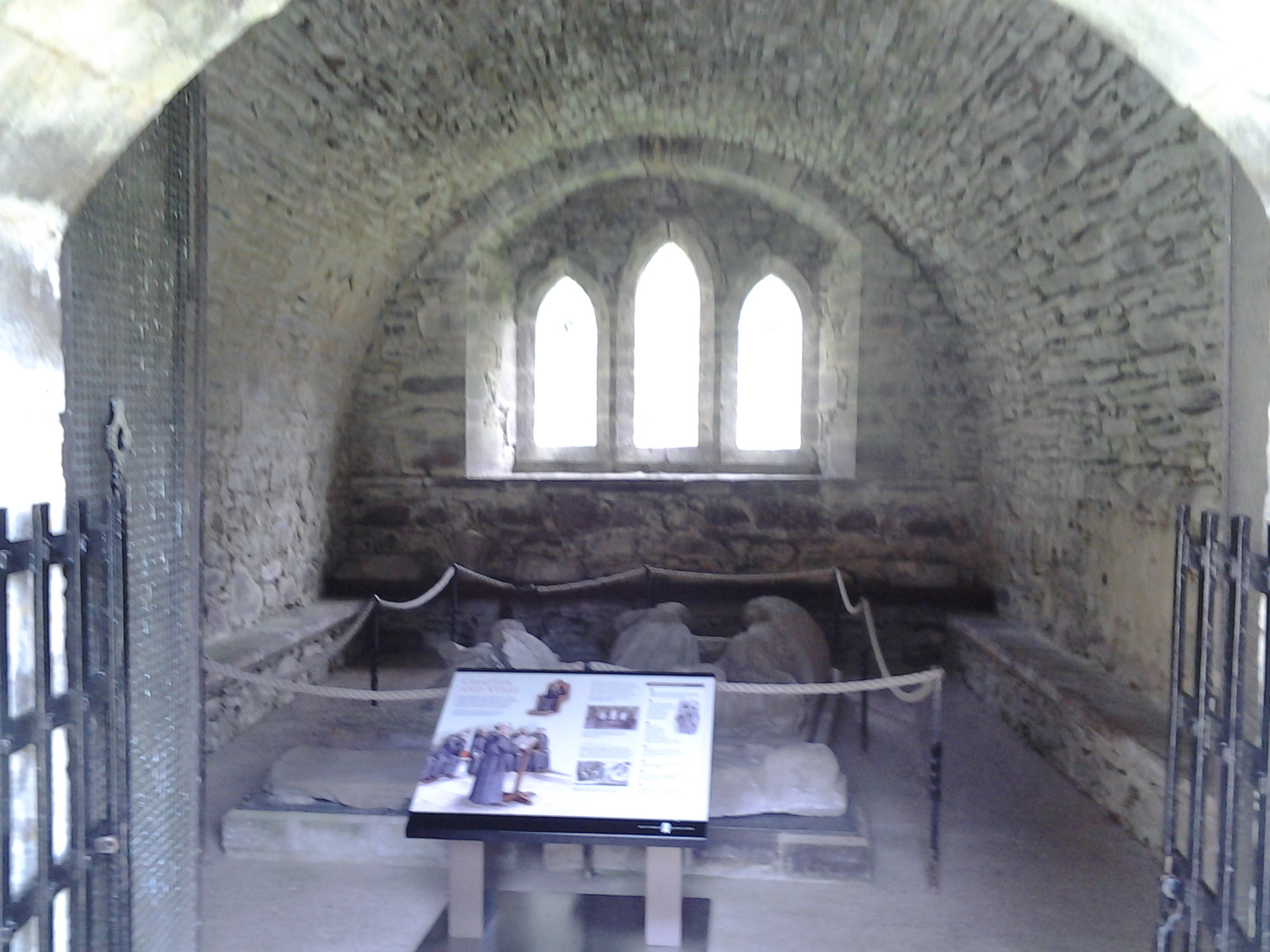
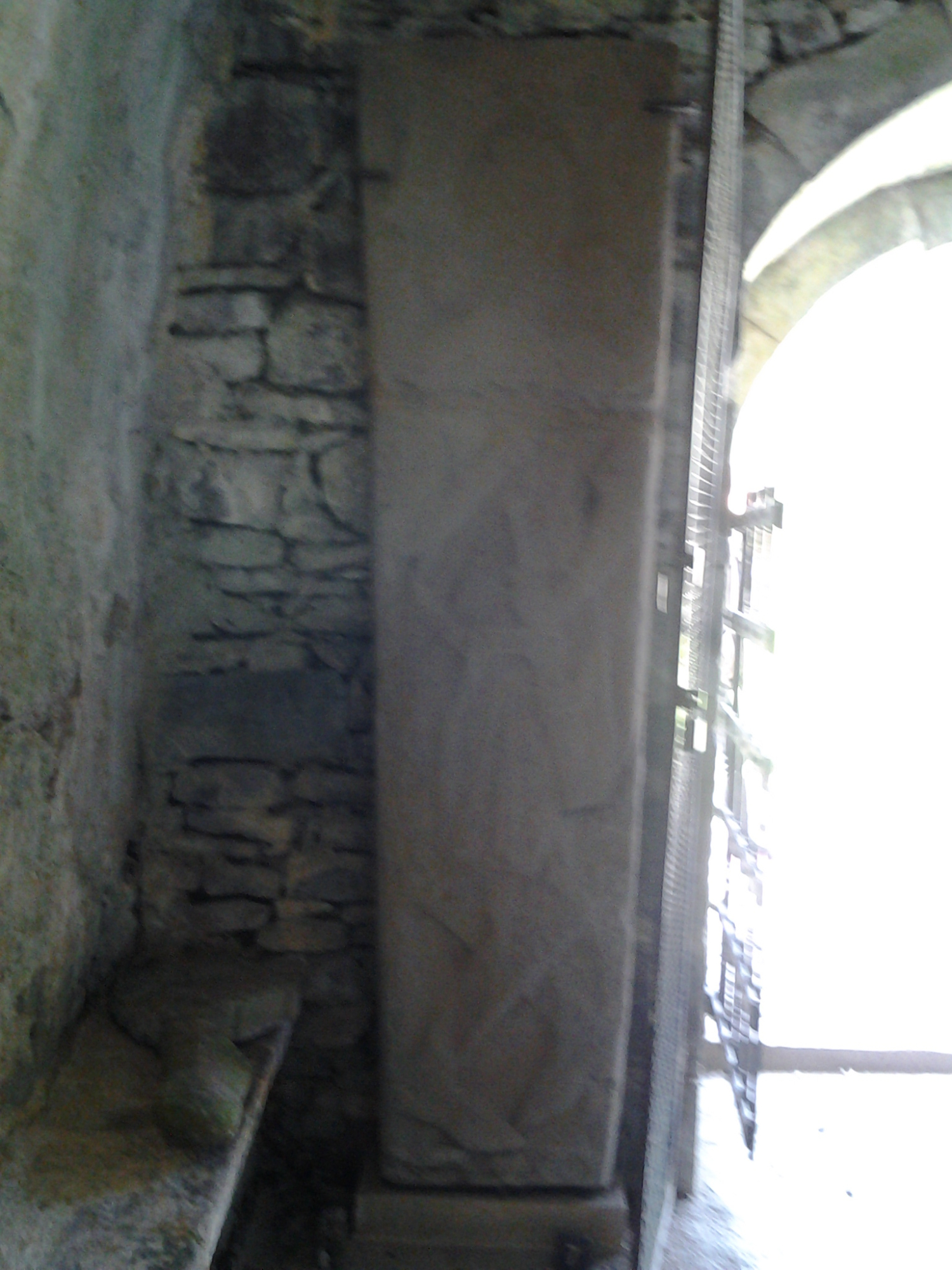
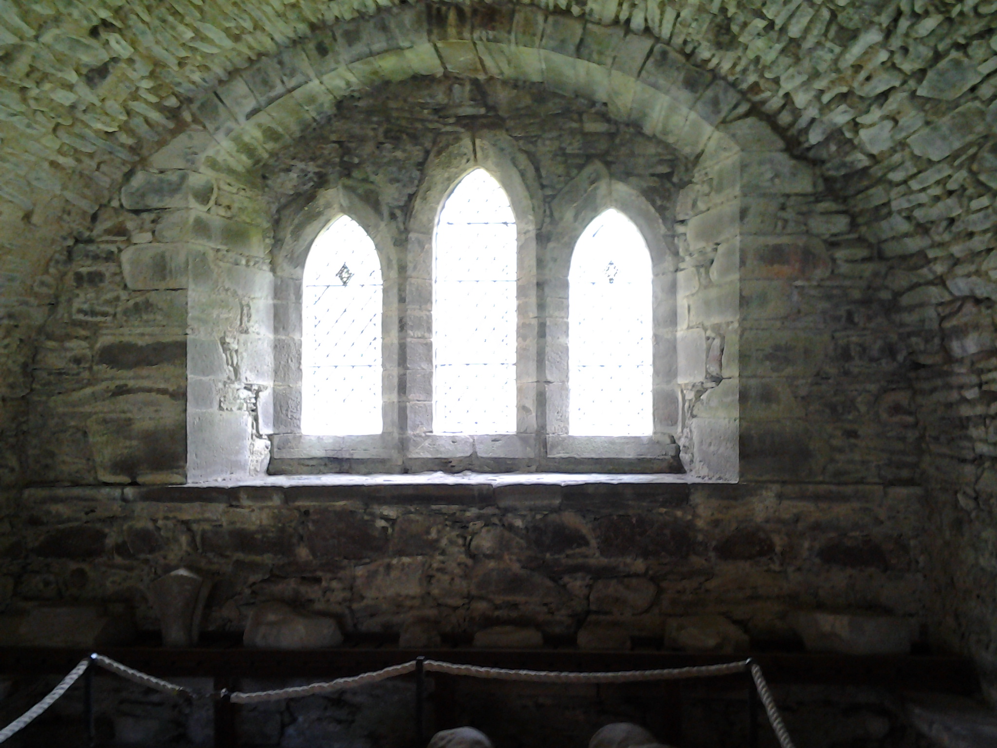
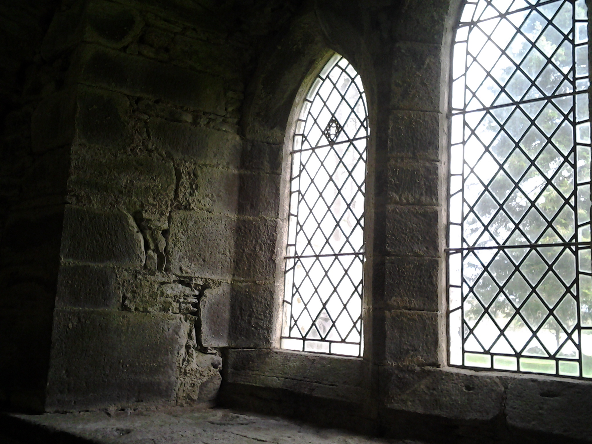
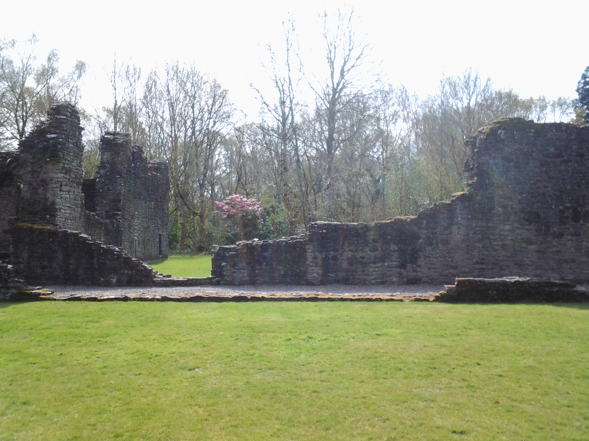
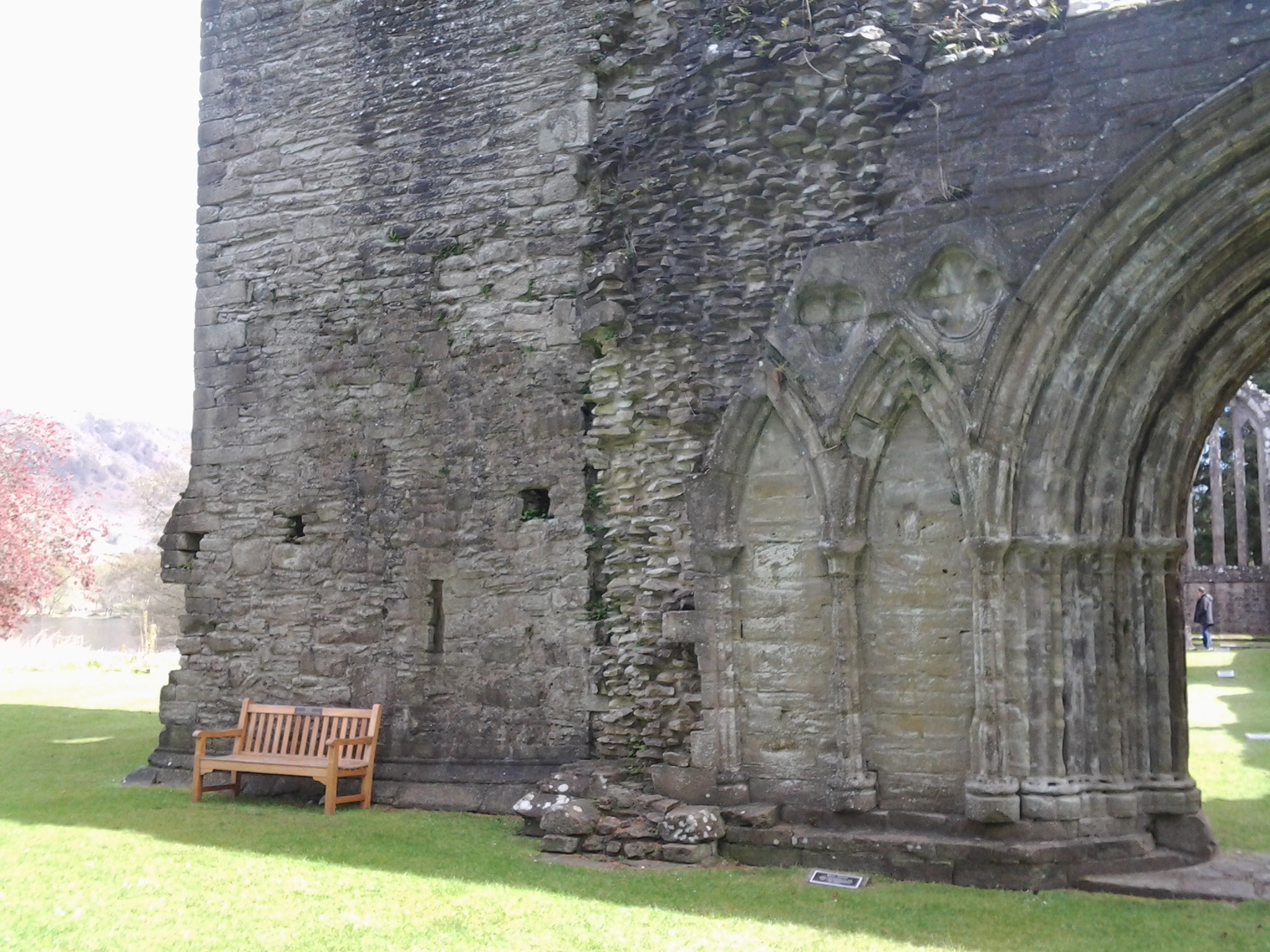
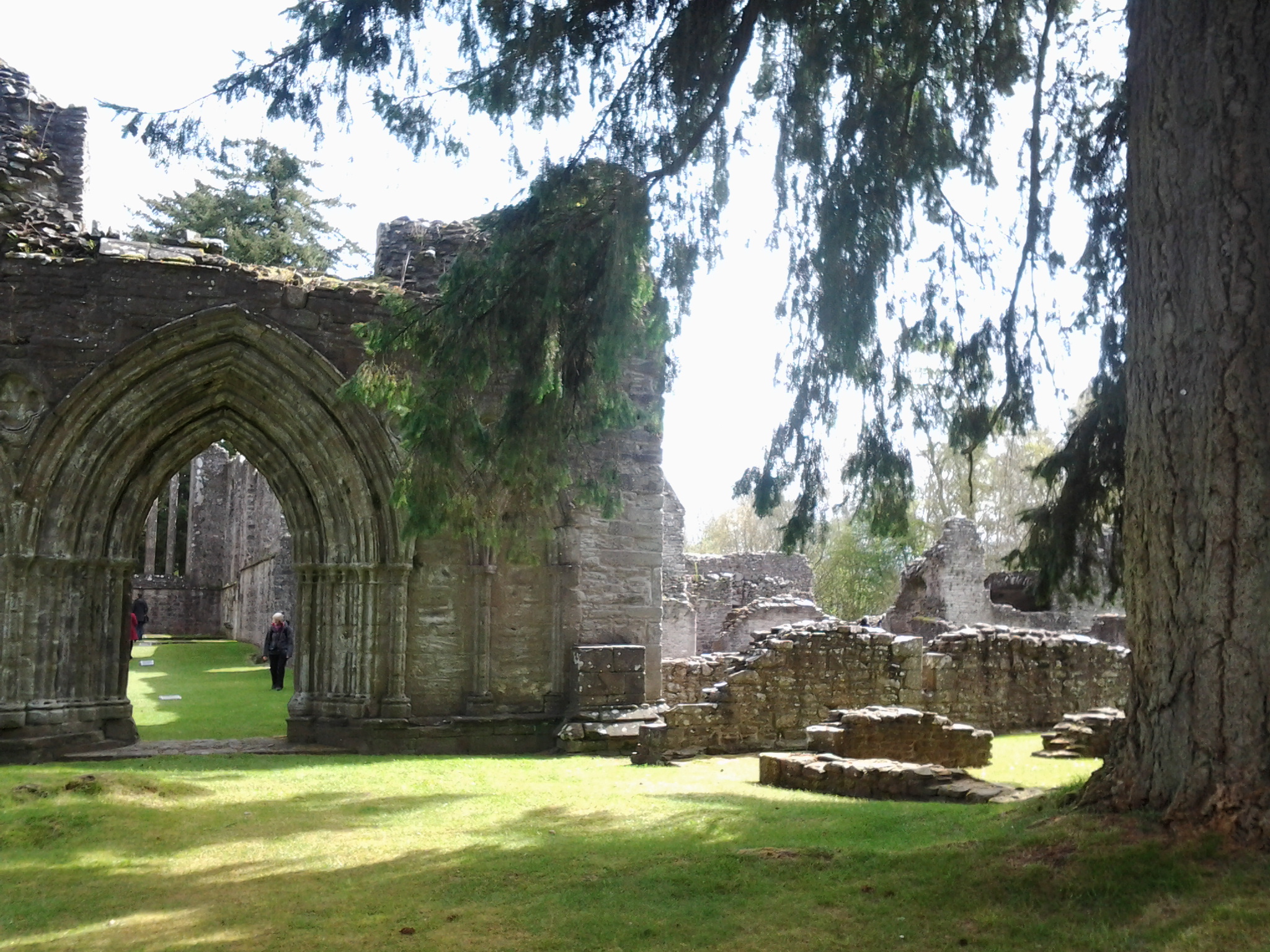
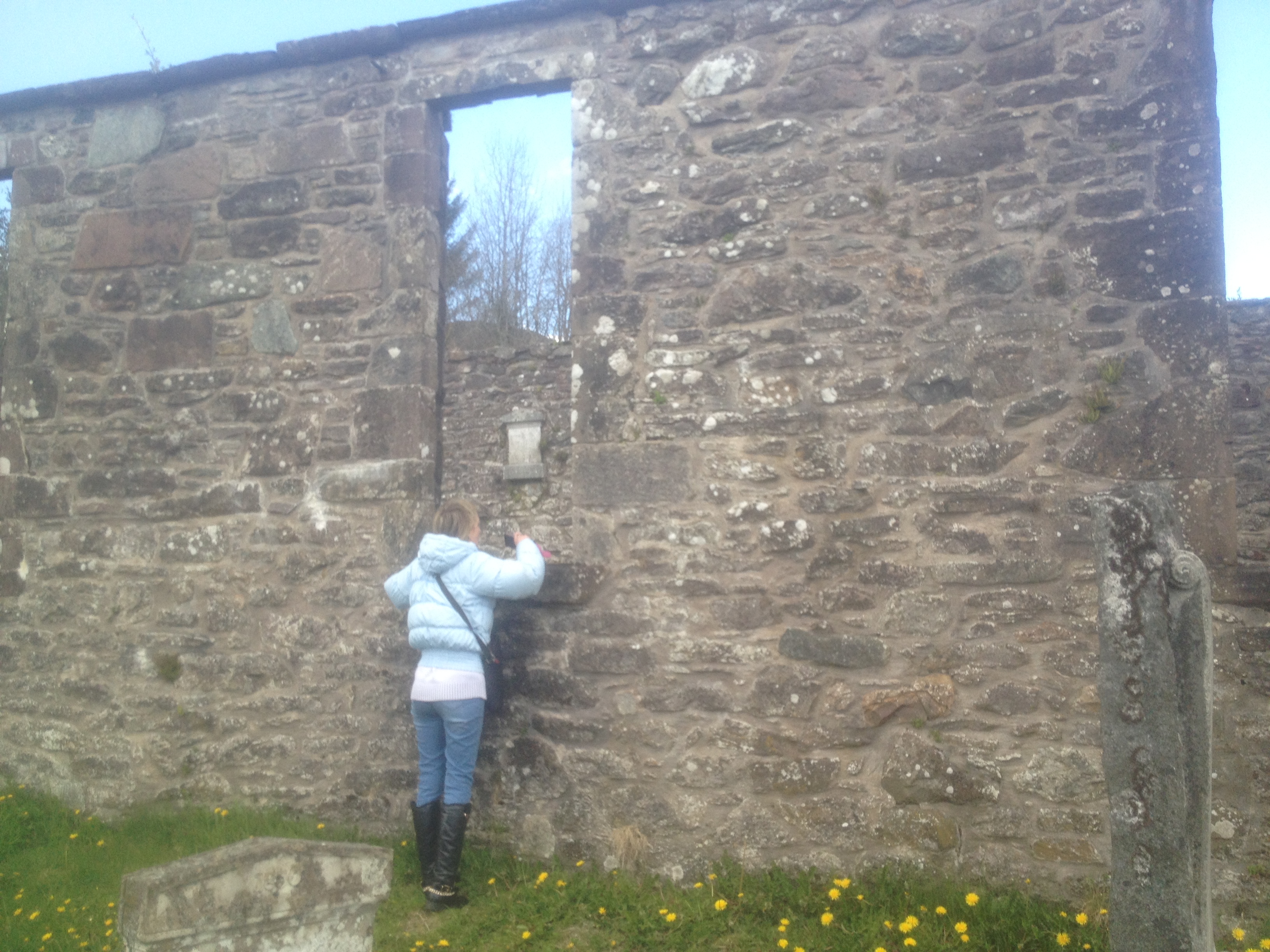
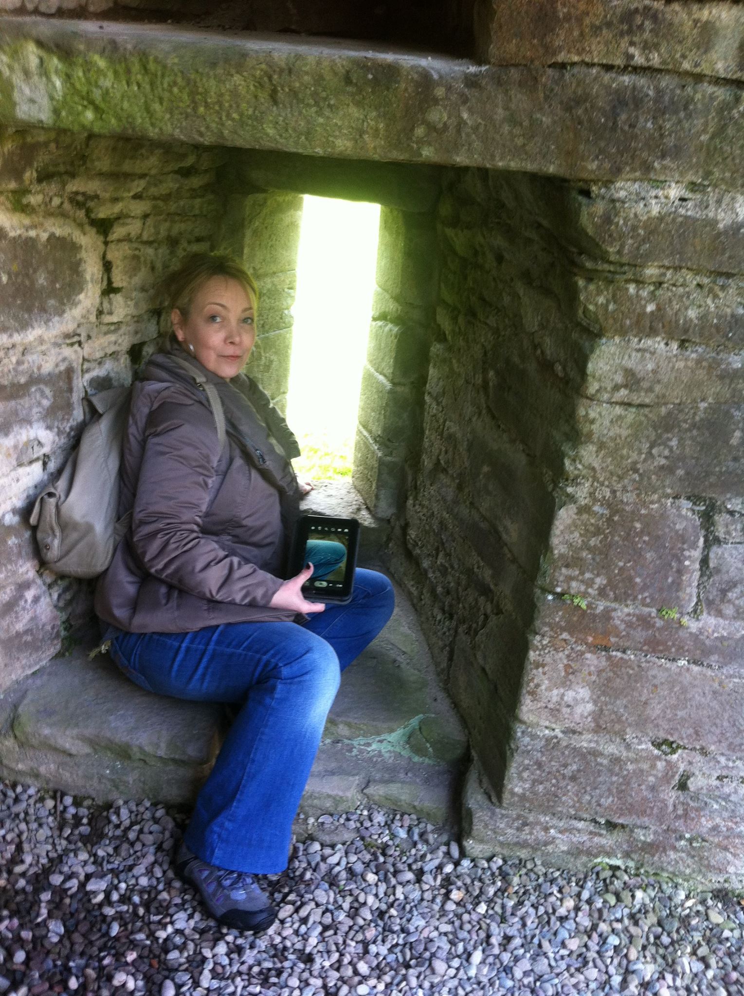
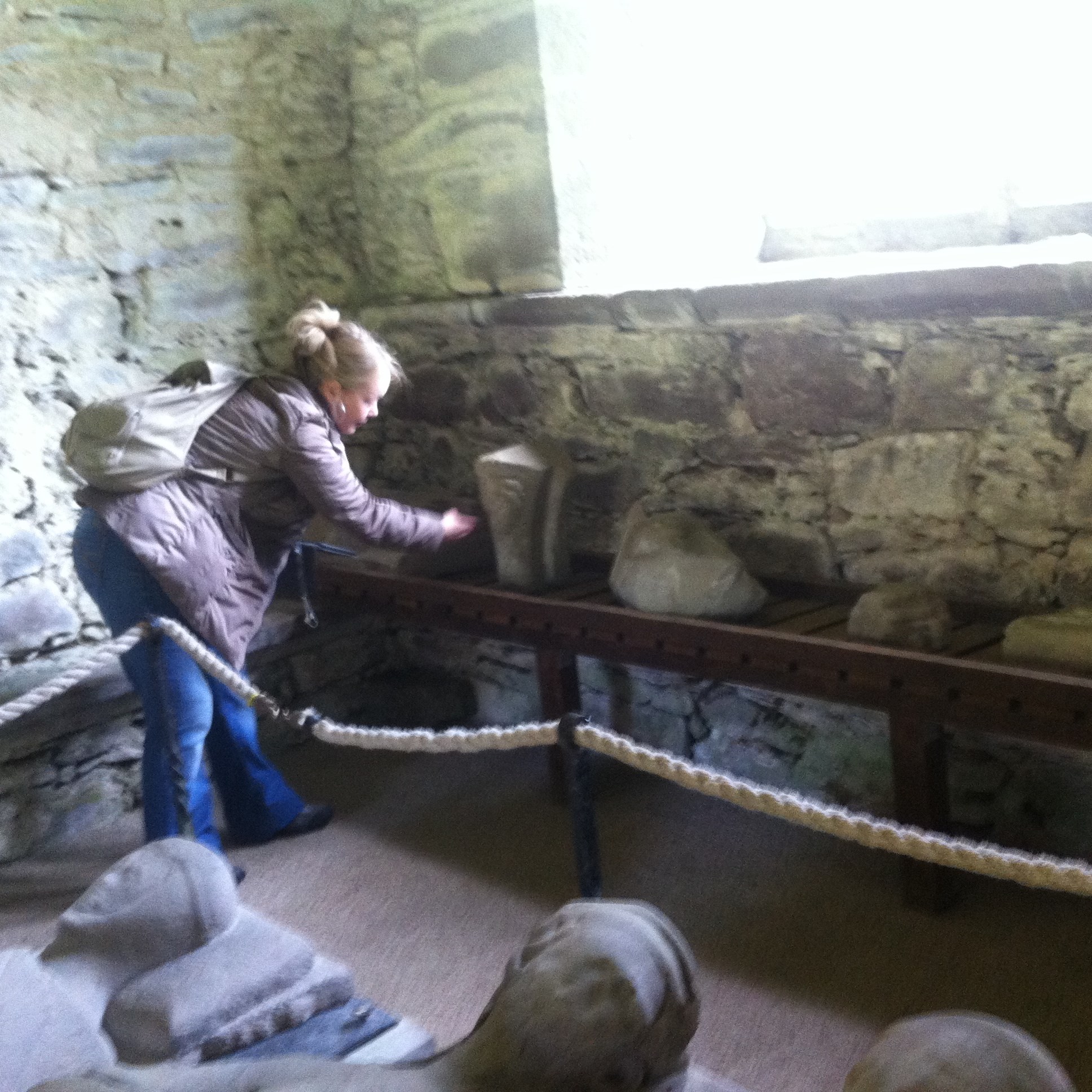
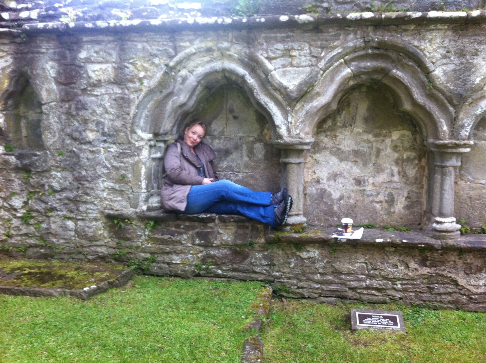
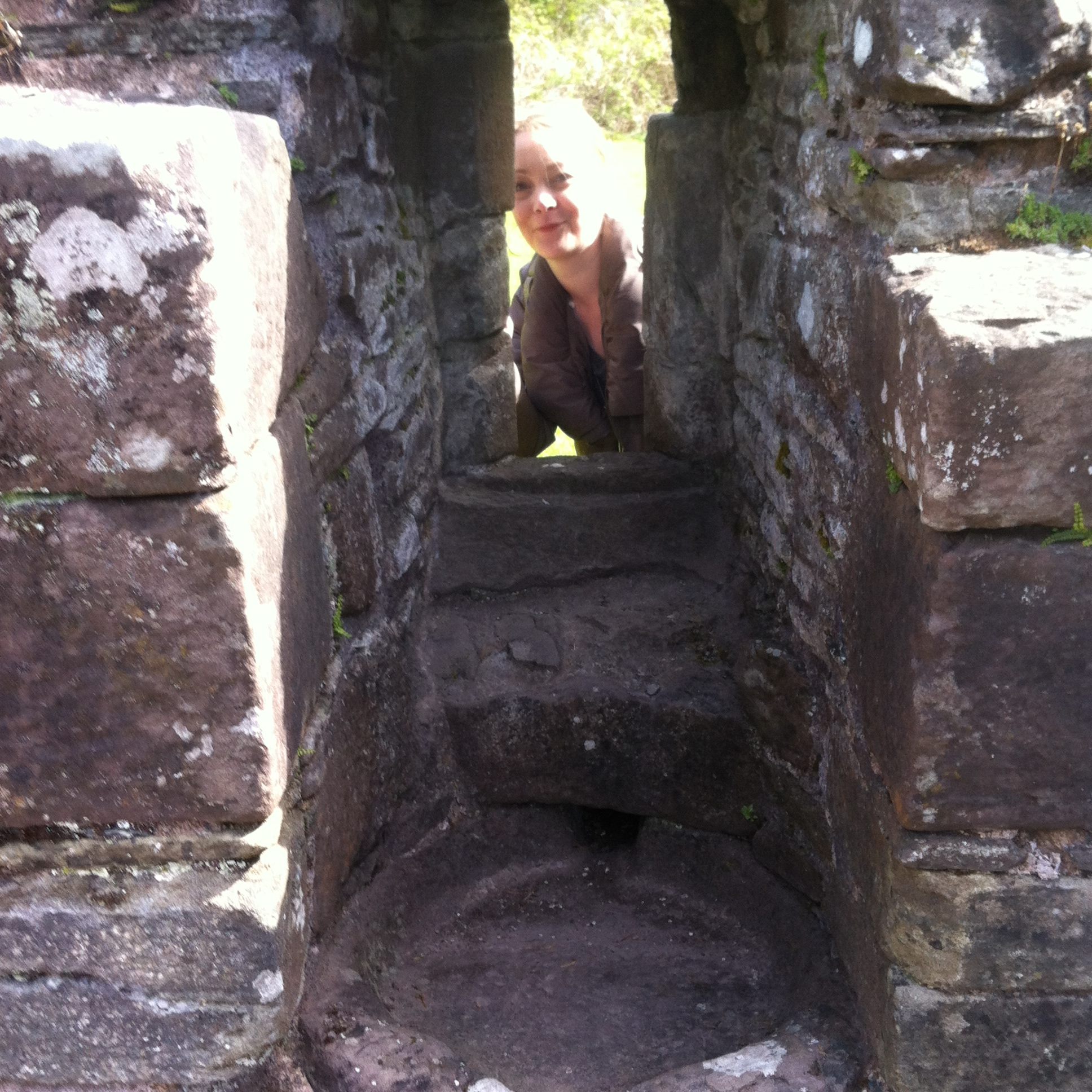
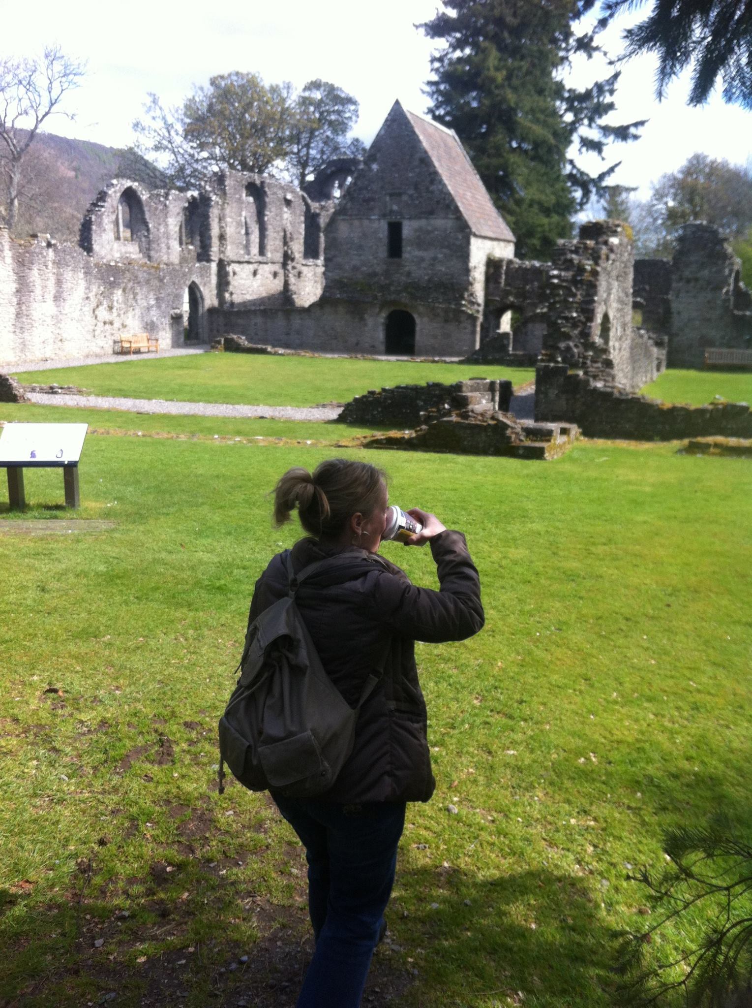
Although most of the buildings are now ruins, much of the original 13th century structure remains, and it is now in the care of Historic Scotland, who maintain and preserve it as an important historic site. The priory can be visited by boat, operated by Historic Scotland from the nearby pier at Port of Menteith, from March to September. A 7-minute ride in a tiny boat built to carry only 12 people at a time.
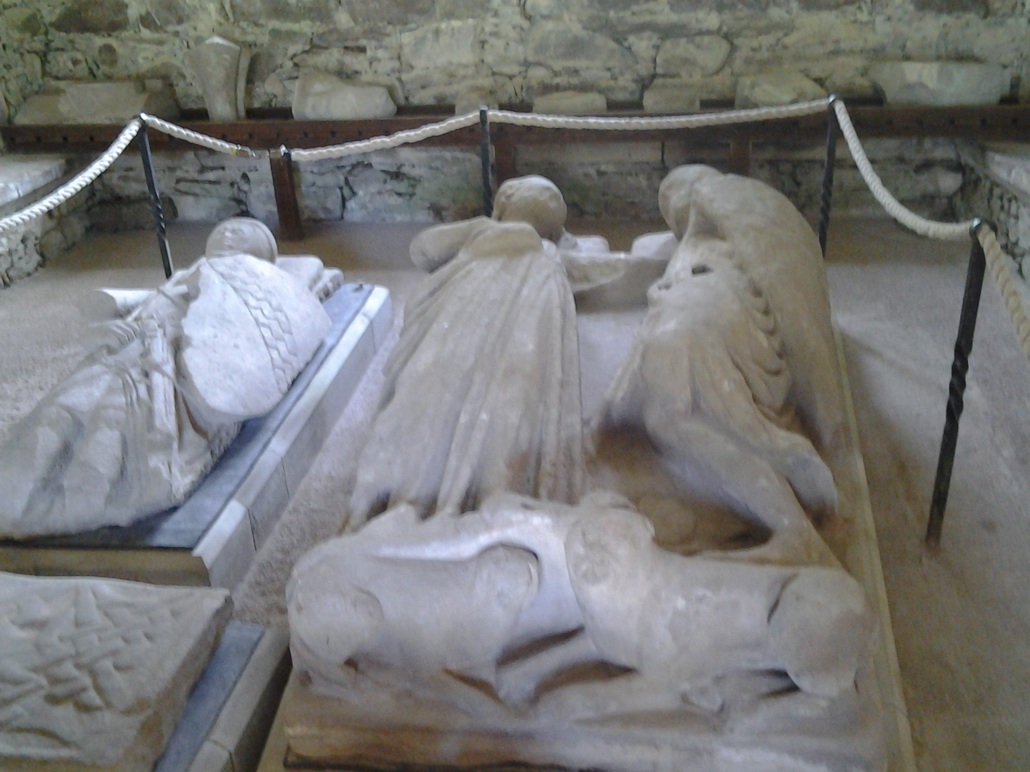
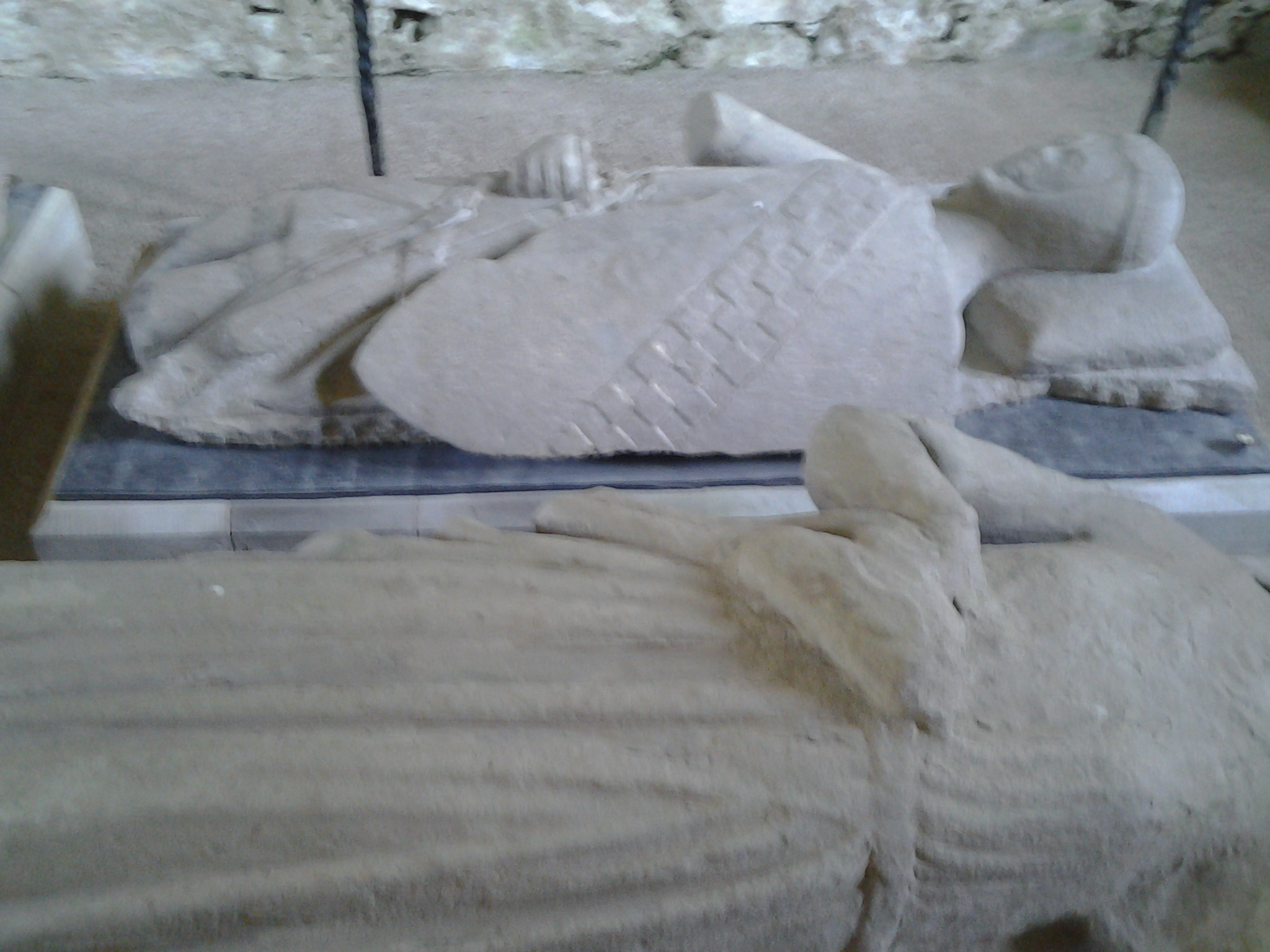
There is a double effigy of Walter Stewart, who died in 1295, entwined with his countess, Mary, in their last embrace. They are buried in the choir of the priory church. Some of the other effigies were of armed knights carrying shields and swords.
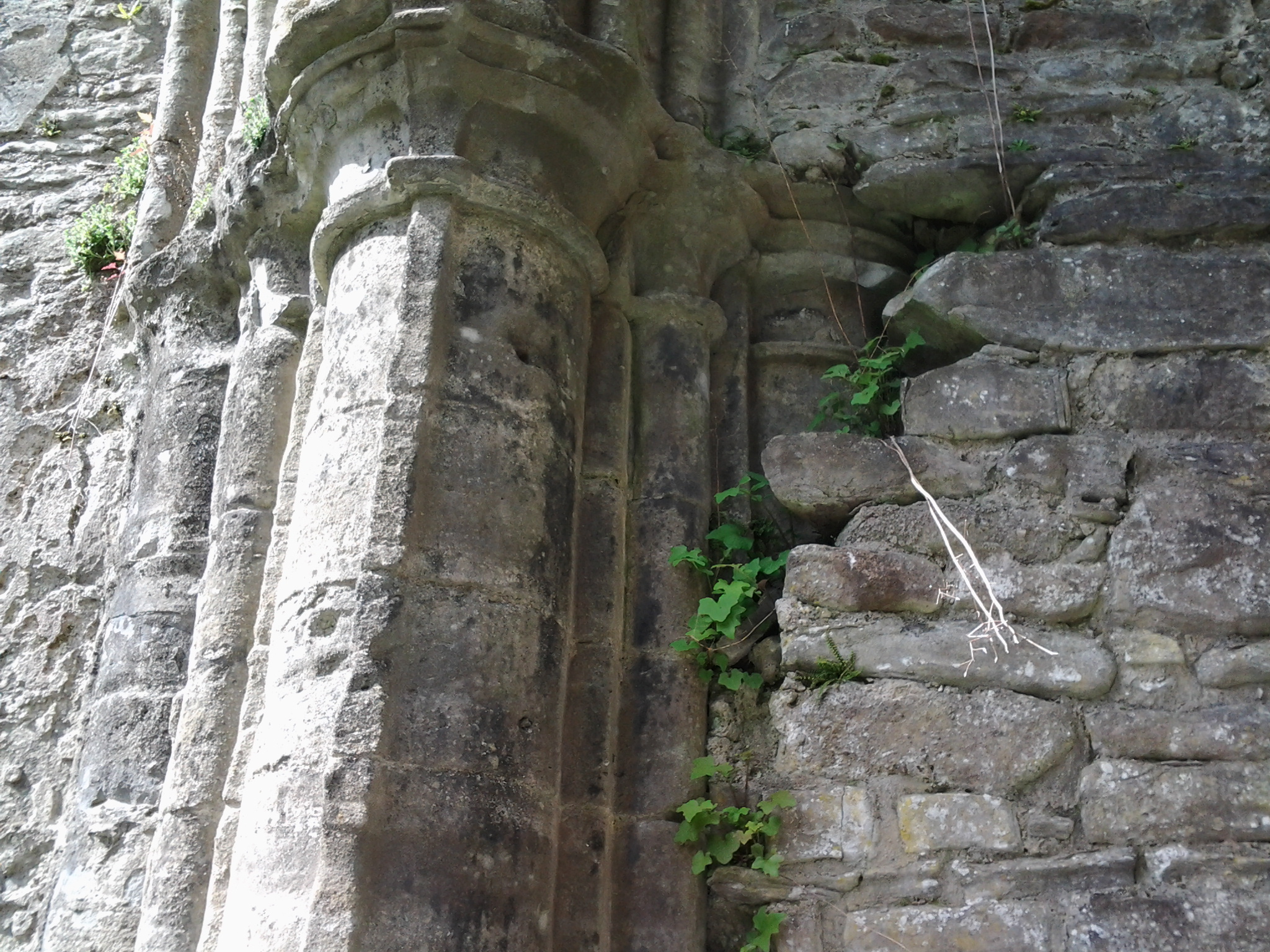
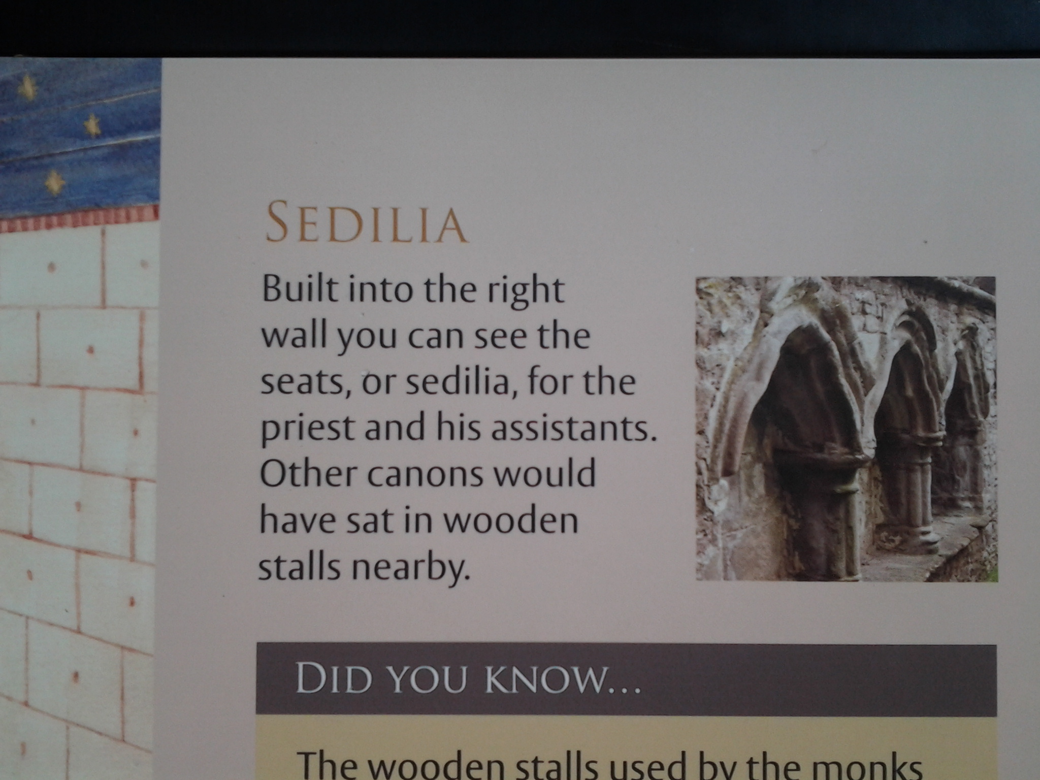
Back in it's hey day, the canons first service of the day was at 1:30 in the morning. Peace and quiet would have been continually broken by the tolling of the bells in the bell tower.
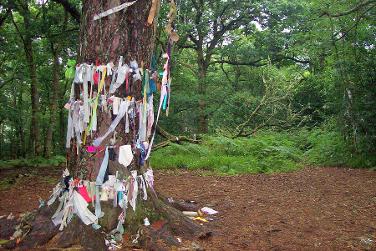
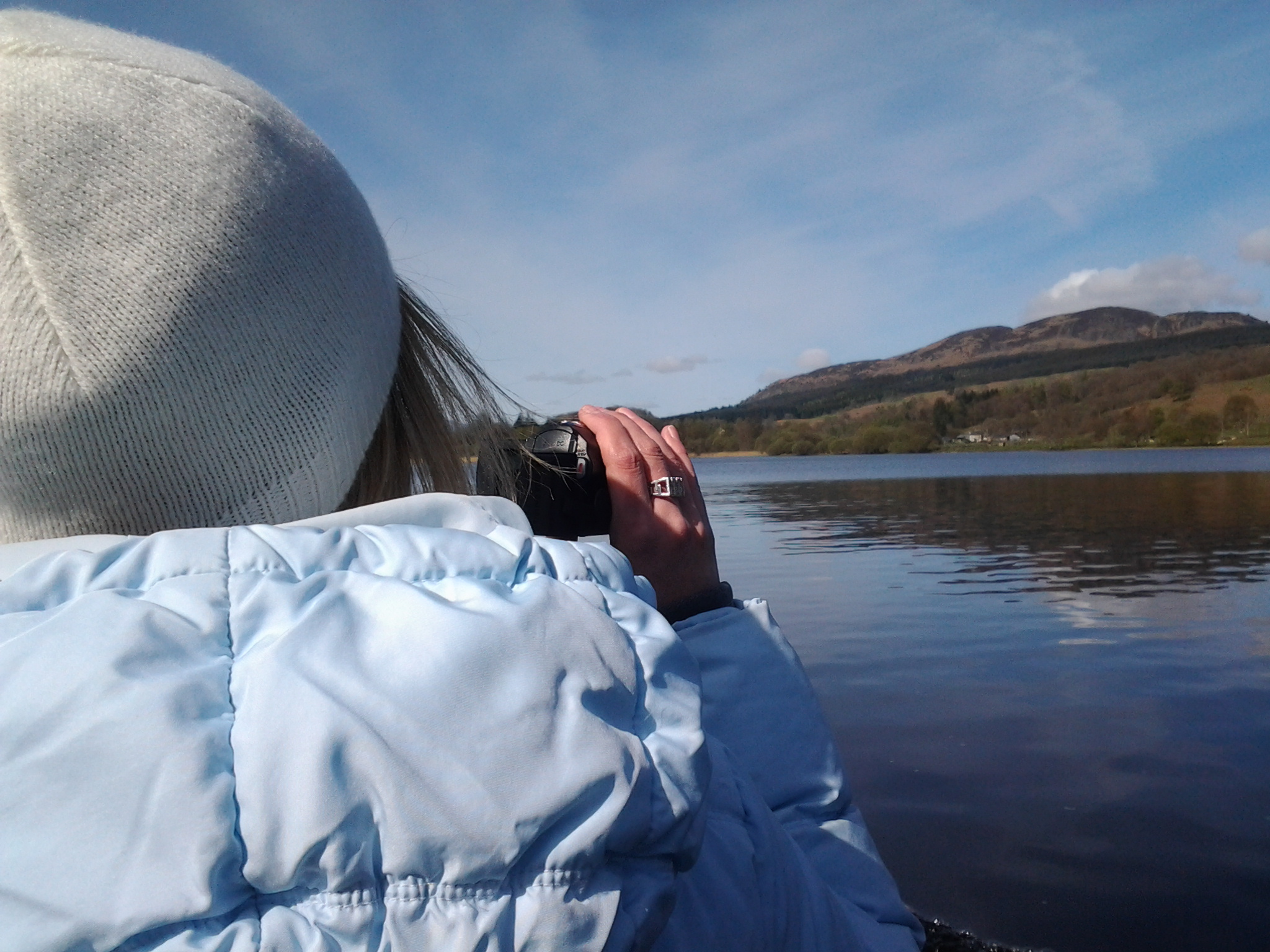
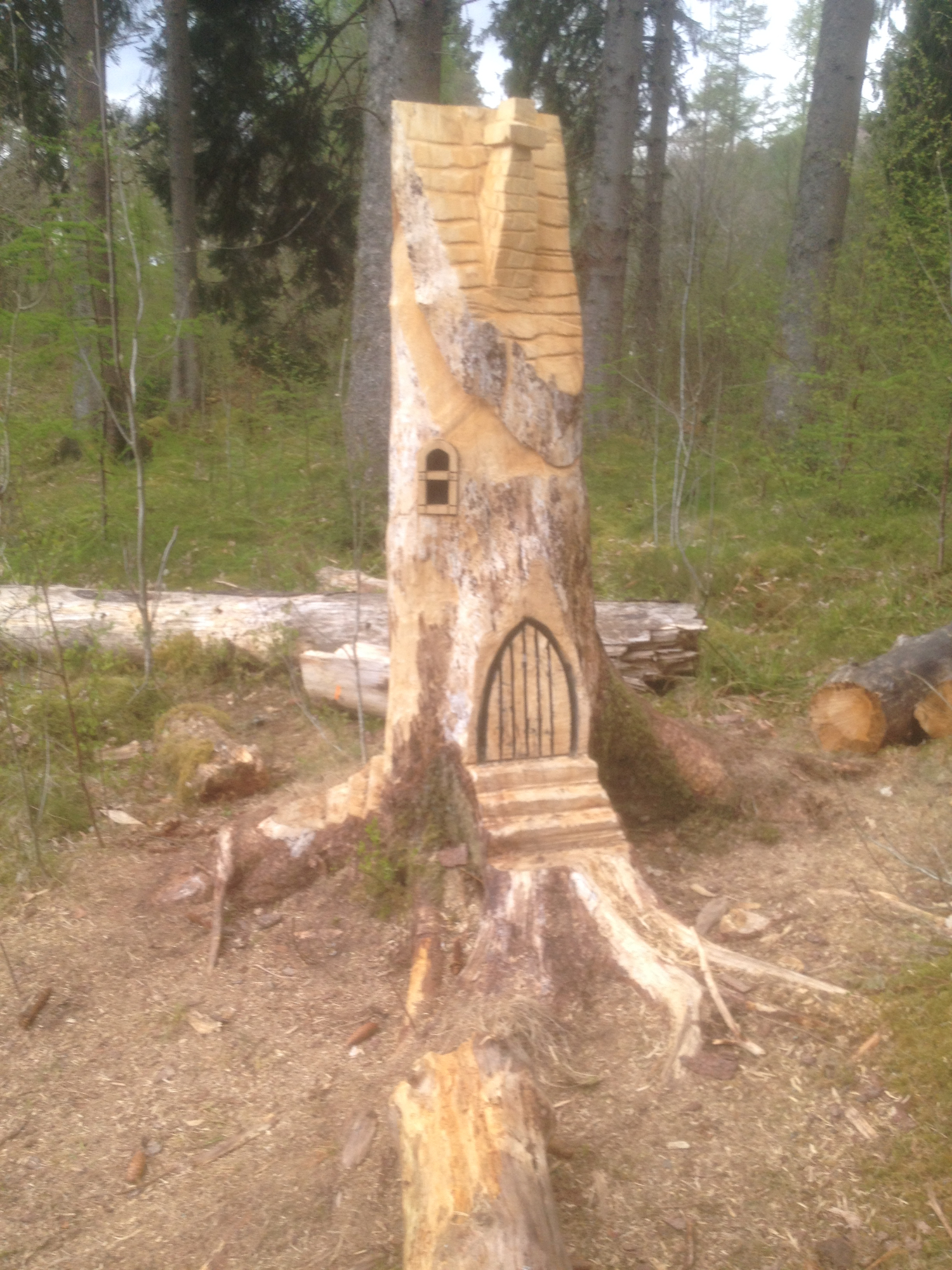
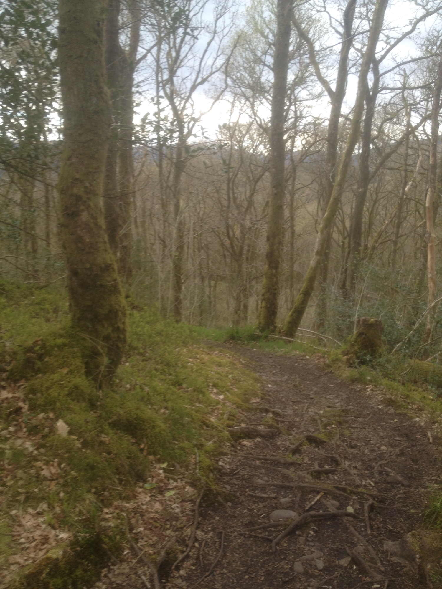
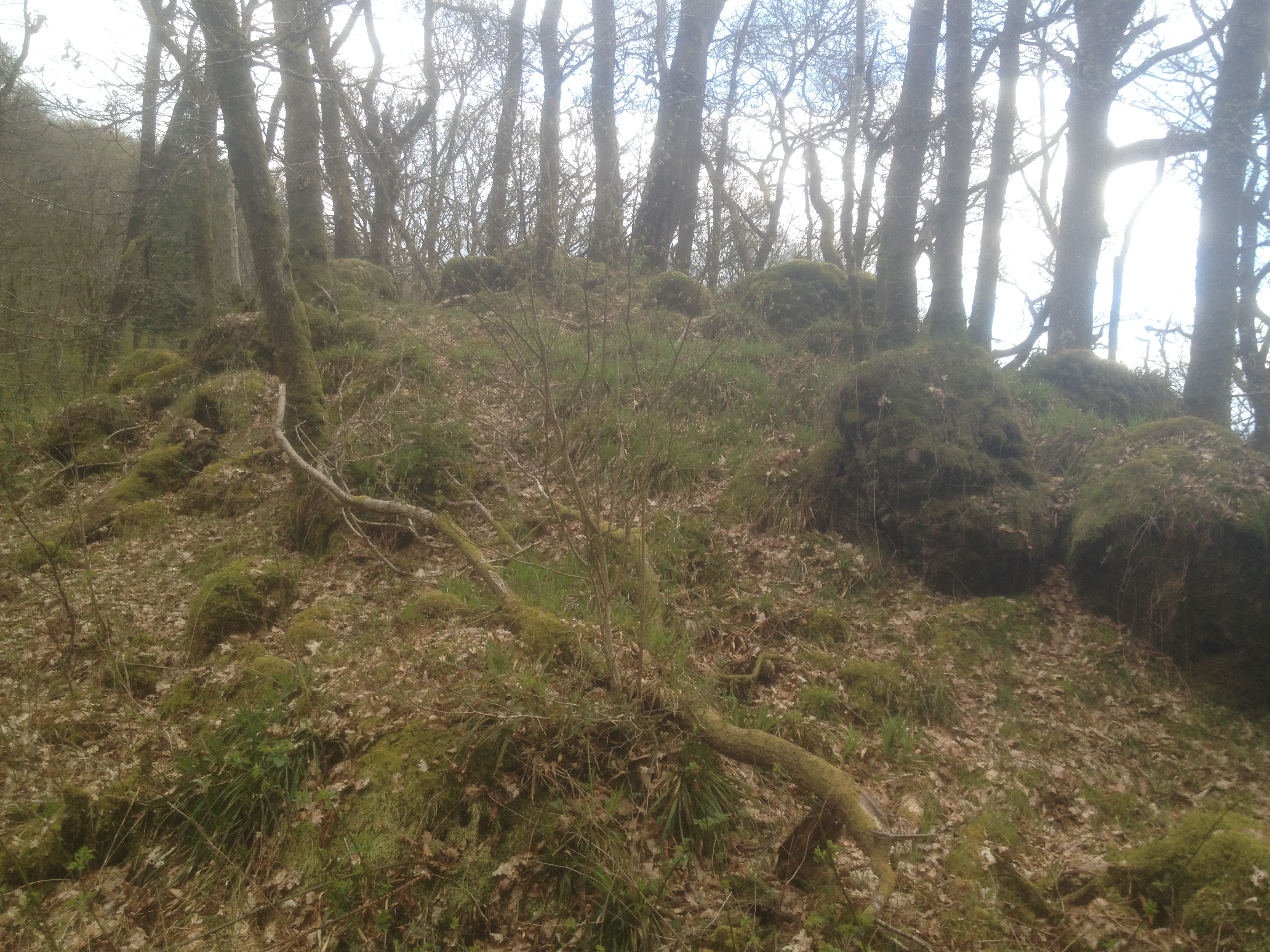
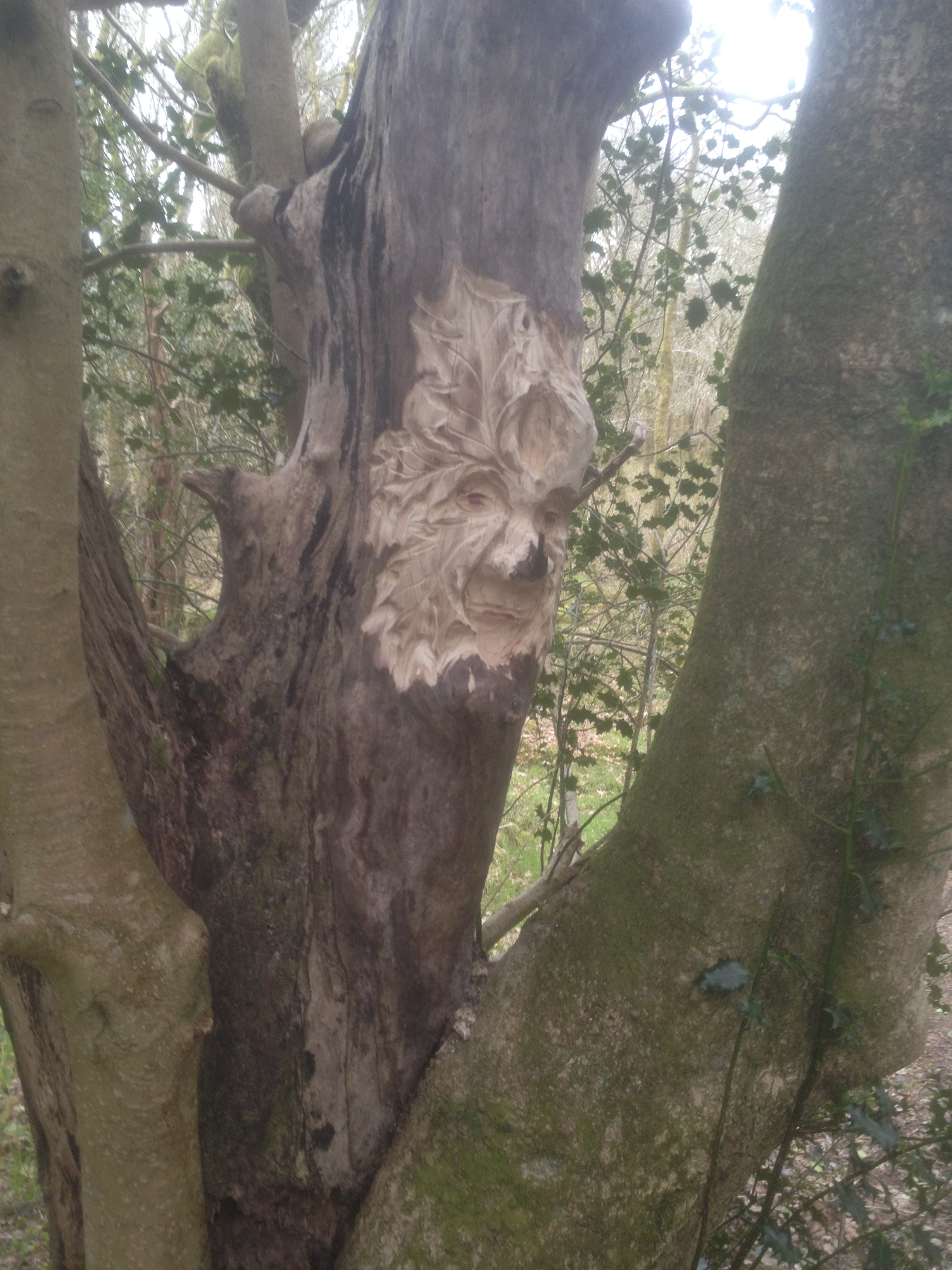
Below is a gallery of my visit to Inchmahome Island - Feel free to download the photos
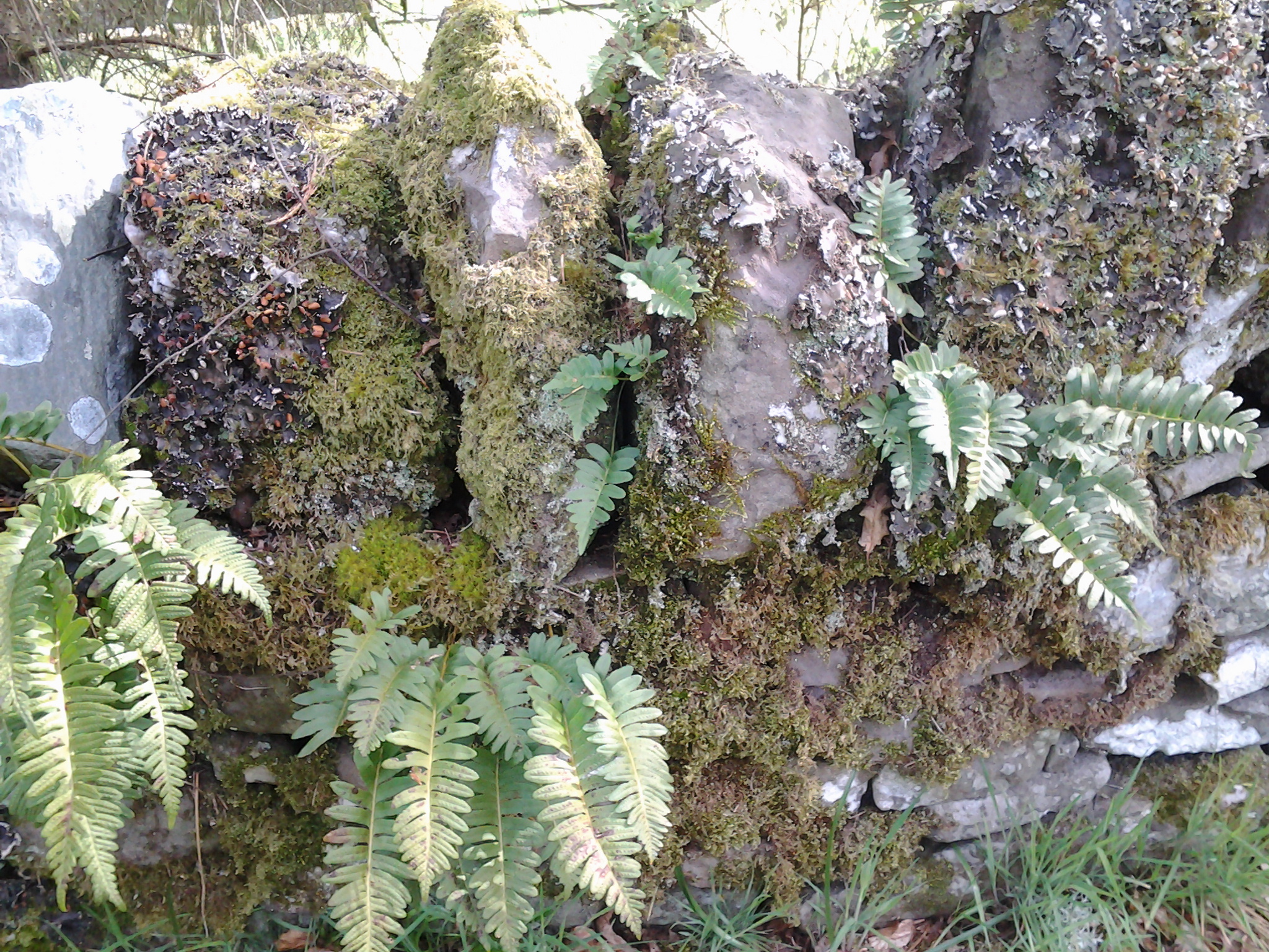
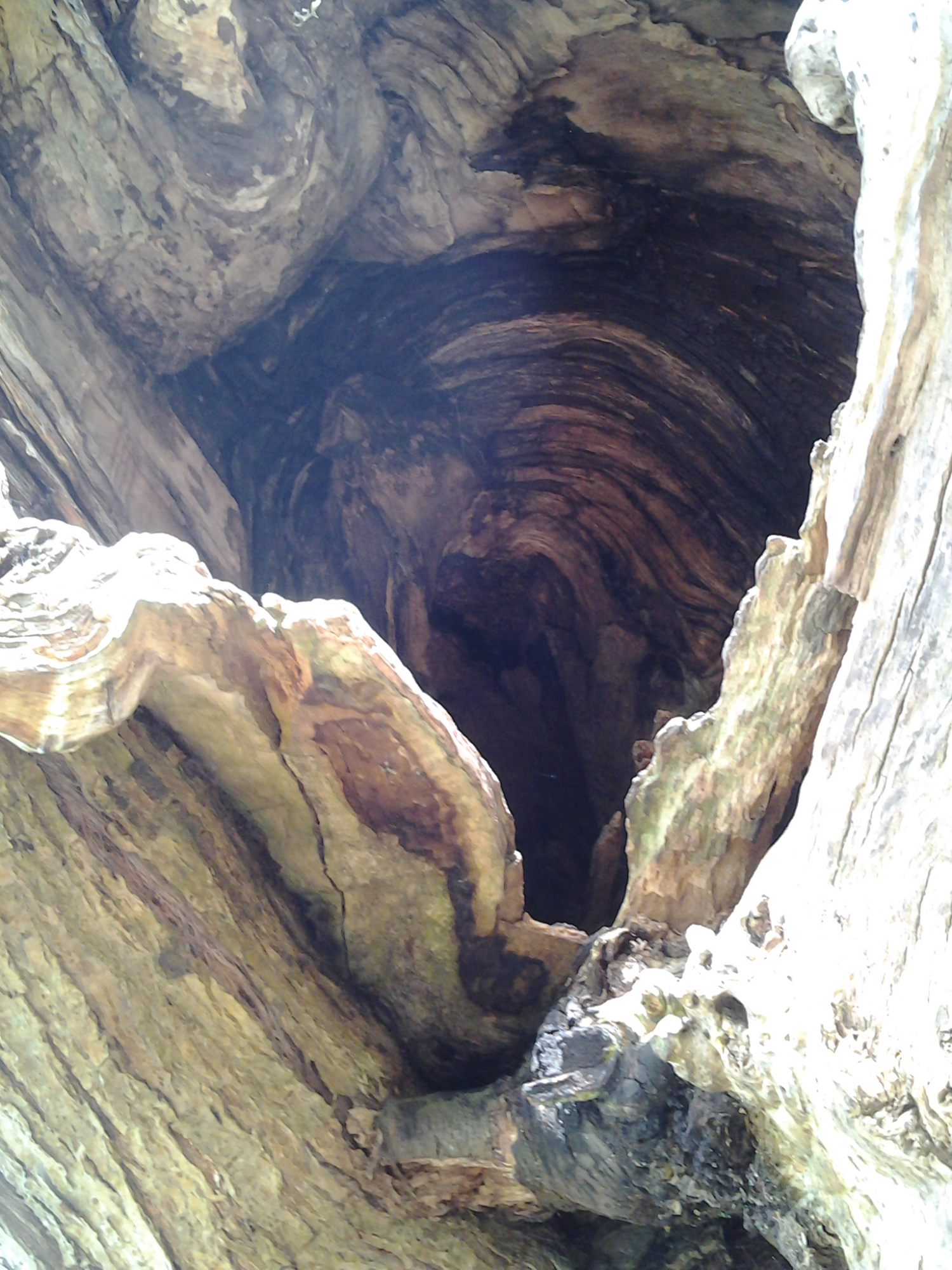
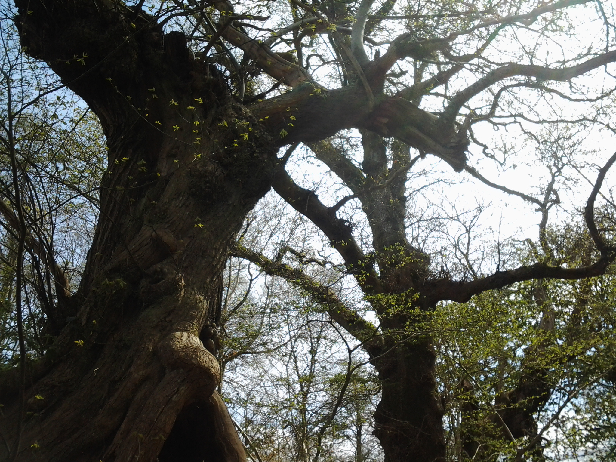
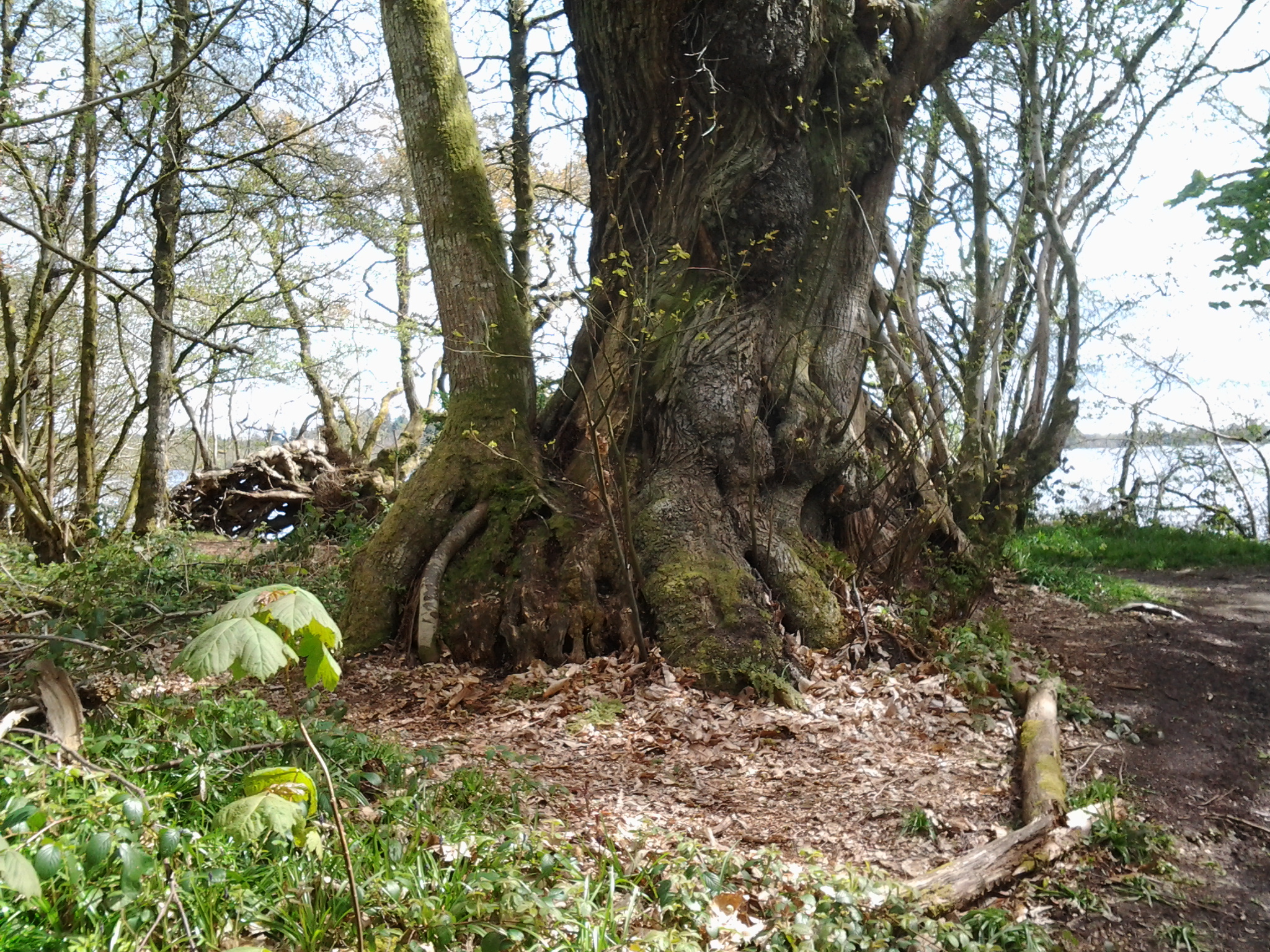
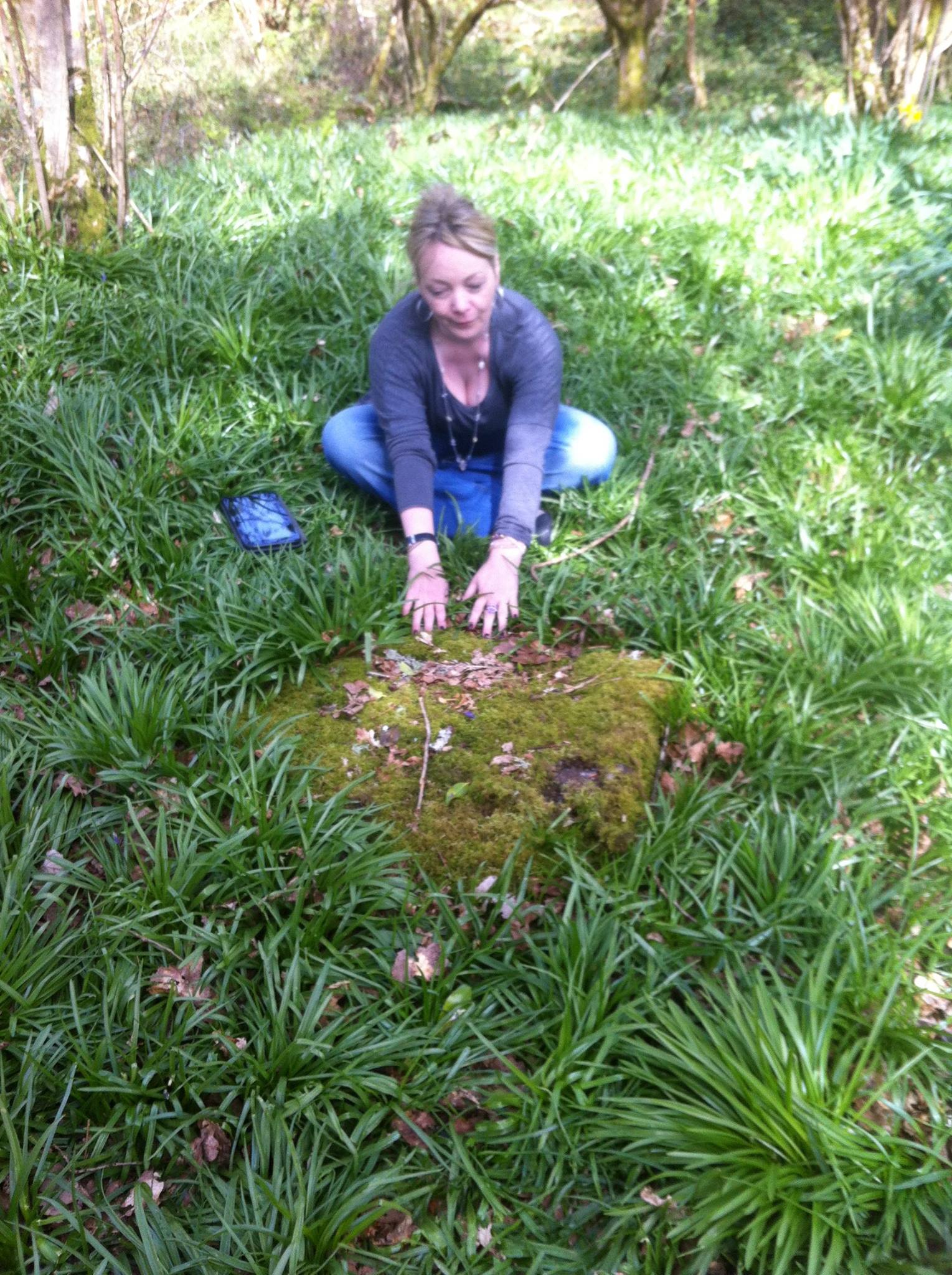
It has been historically recorded in several books, that the island of Inchmahome, was divided in half. It still is, by a stone dyke, and that the southern part formed the gardens of the Earls of Menteith, who resided on Inchtalla. Beside the western wall are some Sweet chestnuts, dating probably from the 17th century, or possibly the later 16th century. These have been recorded in many local histories of the area. According to William Macgregor, one of the trees measured 18 feet in circumference in 1815. Forty years previously, 1775, when the trees were thinned a ring count showed the trees were 300 years old at that time, which means they dated from 1475. Other stories suggest that the seed was bought from Rome by the monks of the 14th century priory.
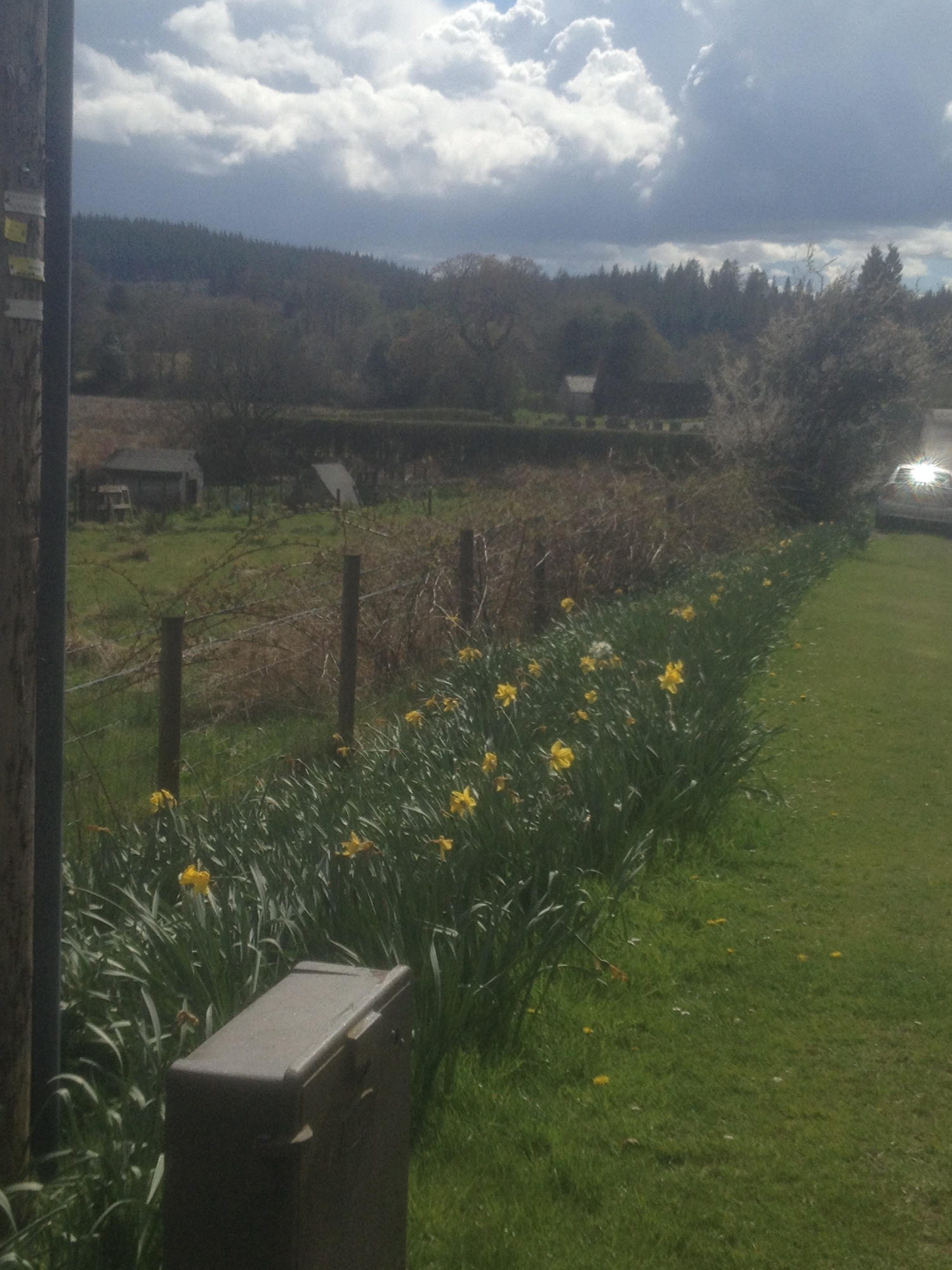
The south-western end of the island, said to be the gardens for the Earl of Menteith of Inchtalla, were apparently gardened until the middle of the 19th century, apparently leased to an Alexander M'Curtain said to have been 'a lineal descendant of the hereditary gardeners of the Earls of Menteith.' A John M'Keurtane was a Chamberlain to the Earl of Menteith at the end of the 17th century. Apparently, gooseberries, cherries, plums, pears, apples and Spanish Filberts were cultivated by Alexander M'Curtain. For a small fee he would ferry tourists across from the mainland and give them a guided tour of the island. Ramsay in his 'Scotland and Scotsmen in the 18th Century', says it was the M'Curtains who planted the trees shortly after the Restoration. There is still an understorey of hazel on the island, although not of any great age. There are daffodils in the spring, but many of these were put down in the 1930s as recorded by John Stewart in his book, Inchmahome and the Lake of Menteith, 1933.
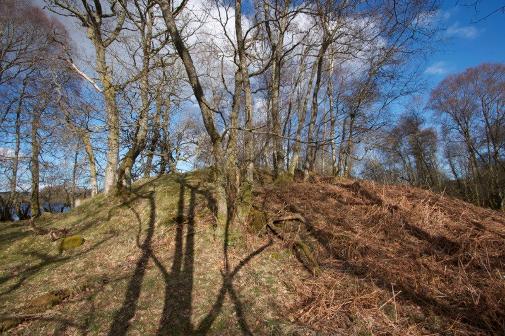
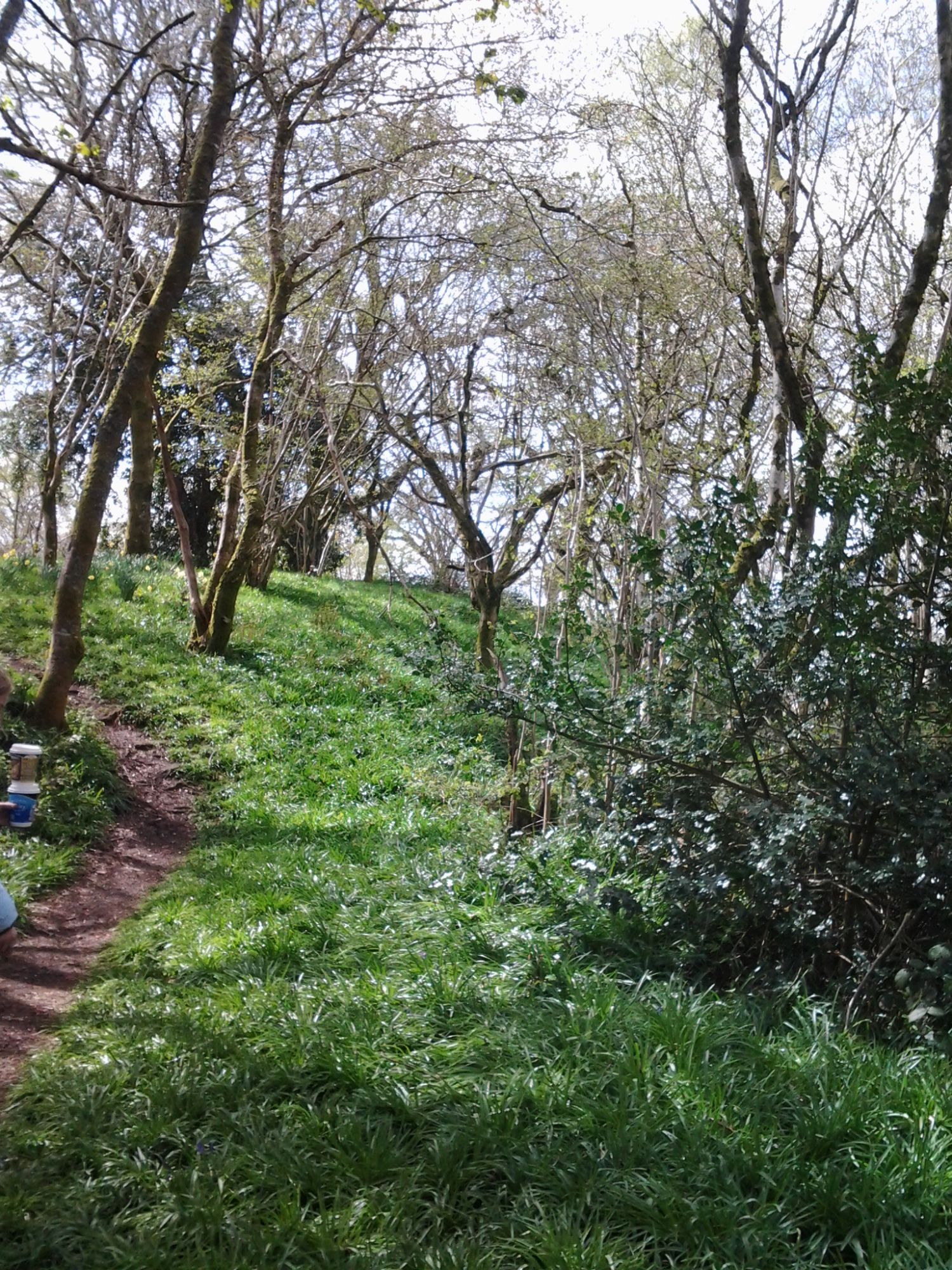
Nun's Walk & Nun's Hill
This is the only mound on the isle and the area is steeped in folklore.
The Nuns' Walk is the name given to the track lined with sweet chestnuts, which delineates the land of the Earl of Menteith from that of the priory. There are secrets surrounding islands, whispers of fading lore.
Was a nun really buried standing up on what is now called the Nun's Hill on Inchmahome?
Did a nunnery ever exist on the isle?
A gentle eminence, on the south-eastern corner of the island, bears the name of the “ Nuns’ Hill;” and on this knoll, it is said, the nuns used to disport themselves, and gather pebbles on the shore, during the intervals of their holy functions. A communication from the Nunnery—by a walk, guarded on each side by high walls,
[Nun's Hill. Universal tradition sets this knoll down as the “Nuns’ Hill,” and the tradition regarding it is a rather singular one. A nun, who having fallen in love with a son of one of the first Earls of Menteith, resolved to throw aside the veil, break her vow, and leave the dungeons of Cambuskenneth for the sweets of Talla. A meeting had been arranged on this particular spot, and a boat provided on the eastern shore to take the nun to Inchmahome. But alas for love! a neighbouring clan invaded the Earl’s domain, and leading his father’s clansmen against the foe, the brave youth fell on the dark braes of Mondhuie. In his last moments, the youth unconsciously divulged to his confessor his meeting with the nun. Enraged at the insult offered to his church, the cruel monk resolved to be revenged. Disguised as the young nobleman, he watched the arrival of the runaway nun. Well, ’twas a clear moonlight night when the monk threw aside the gown and cowl for a warrior’s dress, and took his place on the appointed spot. By-and-by a small black speck is seen on the Inchie shore; ’twas the nun in her lover’s boat. She, footsore and weary, had trod the plain from Stirling to the lake, and was now pushing her scallop over the tiny waves. Shortly the boat touched the sand, and the fair lady sprang into her supposed lover’s arms; but, alas! it was only to be hurled back to perish in the blue waters. Next day the monks on the island had the body taken from the lake, and interred in an upright posture on the knoll—hence the “Nun’s Hill.” A large stone near the top of the hill marks the supposed spot. At a certain hour in the evening, tradition says, a dark figure may yet be seen treading the “Nuns’ Hill.” ]. This mound appears to have been partly natural and partly artificial. It has finely sloping sides, with flat top, and a large oak tree spreads its withered arms around its summit; while, at the east side, a beautiful specimen of native fir hangs its green tresses over the ancient wall. Source HERE
Notes, historical and descriptive on the Priory of Inchmahome with introductory verses and an appendix of original papers - Stirling, William MacGregor
There are also many associations with Mary Queen of Scots who spent three weeks on the island after the Battle of Pinkie. Queen Mary's Bower and Queen Mary's garden which is situated in the southern part of the island and the part traditionally known as the Earl of Menteith's garden, as described above. Queen Mary's Bower consists of a small mount at the southern end of a rectangular area bound by a dry stone dyke. The mount is planted around with box trees and form a bower. Apparently this boxwood came from nearby Cardross estate and was replanted by the gardener from that estate, having being grown on from cuttings from the original box. Tradition of course relates that the box was originally planted by the young princess herself which is unlikely as she was only four years old at the time.
Queen Mary's Bower
(Included photos of bower as on Inchmahome with views to Inch Talla Isle)
A westward, woodland walk takes me to the remnants of the gardens and orchards used by the Earls of Menteith. The Earls' home was on the neighbouring, smaller island - Inchtalla - a castle now in ruin. As the castle took up most of the land on the island, the gardens and orchards whose fruit supplied the brew house, were situated on Inchmahome.
Old Plans and Photos of Inchmahome HERE
In the appointment, 1238, to build a church on the largest island on the Lake of Monteith, it is called Inschmaquhomok. The etymology is undefined.
In a writ by Robert Bruce, 1310, Inschmaquhomok is called 'Insula Sancti Colmoci. In a writ by his son, it is called Inchmahome.
In a writ by James the VI, Inchmahome is spelled 'Inschemachame' in Gaelic means 'Isle of Rest'.
It was also written by Bowmaker, that Murdacus, Earl of Menteith (father-in-law of Walter Cumyng) had been the founder of the monastery of St.Colmack of the Augustinian Order in Menteith - HERE and HERE
The legend of the common seal, as it appears from an impression, is 'S.COMVNE DE INSULA SANCTI COLMOCI'.
(History of Scottish Seals HERE) (Red Book of Menteith HERE) Ancient Seal of the Island of Saint Colmoc HERE
Museum note HERE
The earliest seals go back as far as the time of the Egyptians, Babylonians and the
Romans, but they were not used in Europe until the seventh century. They were rarely
used in England until the reign of King Henry II in the twelfth century.
Insula Macholem 1189, Camb. Reg.
Insulam Sancti Colmoci 1308, RRS v
Inchmahomok 1485, RMS
Inchemahomo 1530, RMS
Insule Beati Colmoci 1554, RMS
Inchmahum 1630, Geog. Coll. II
Inchmahomo 1724, Geog. Coll. I
IXCHMAHOME (L. of Monteith). S/'c c. 1550: 1296, ITsle de St Colmoc. ' Isle of Macholnioc,' the Irish pet name of St Colman.
IxCH-MAHOXfE [hnulii SI. Colnwci), or St. Colmoc's, InnisMothamb, Inch Maquhomok, the Isle of Rest ; SS. Mary and Columba's, beautilully situated, 1 Macculloch's Ilighlandii, i, 627. ,iq almost enveloped in foliage, on St. Colmoc's Isle, in Loch Menteith, three miles and a half from Aberfoyle. It was founded by Murdach, Earl of Menteith, as a cell of Cambuskenneth HERE
Columb, Colmán, Commán, Mo Cholmóc, Mo Chommóc, Mo Chumma, Columba, Columbanus etc (ns) (certain)
Mo Cholmóc m. Conratháin of Dromore (probable), Columb Cille m. Feidlimid (maybe)
Traditionally, the commemoration has been understood to be his, with the feast celebrated on 7 June.
St.Colmoc was the first station of the Augustinians, north of the Tweed, having been founded before 1107.
Book - THE CANONS - REGULAR AND THEIR MONASTERIES, PRIORY OF INCHMAHOMEOR THE ISLE OF SAINT COLMOC Unbound – 1875 by Gordon Dr Rev J F S
Inchmahome Priory old records HERE
Augustinian Order HERE
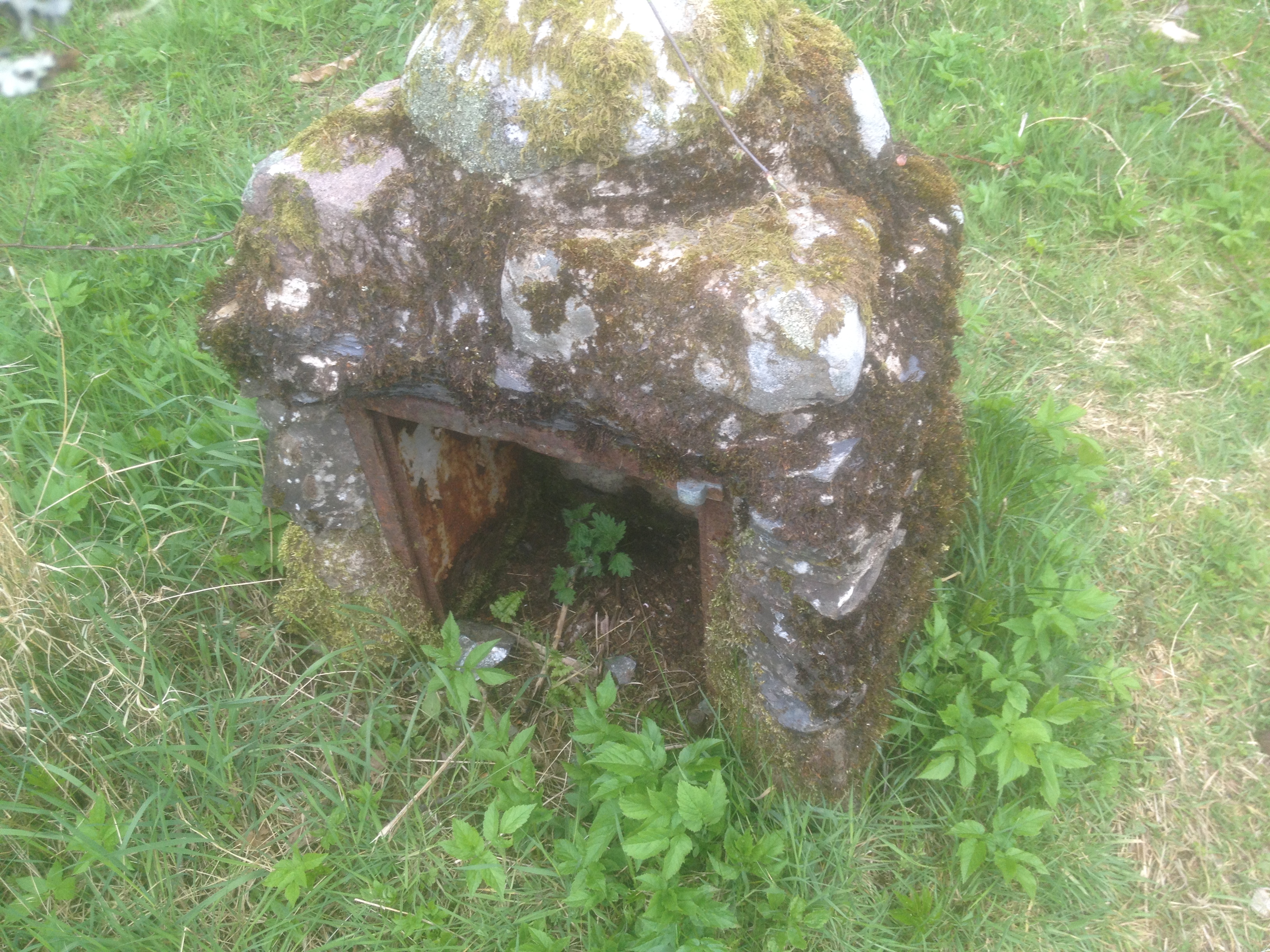
4. Bogle Knowe-Scotland
Bogle Knowe, Lake of Menteith
Bogle Knowe is a hill traditionally seen as a fairy abode, and on the Southern shore of the lake opposite the Priory, is a long finger of land called Arnmach. This is said to have been constructed by the fair folk, who were tasked with completing a rope of sand by the Earl of Menteith.
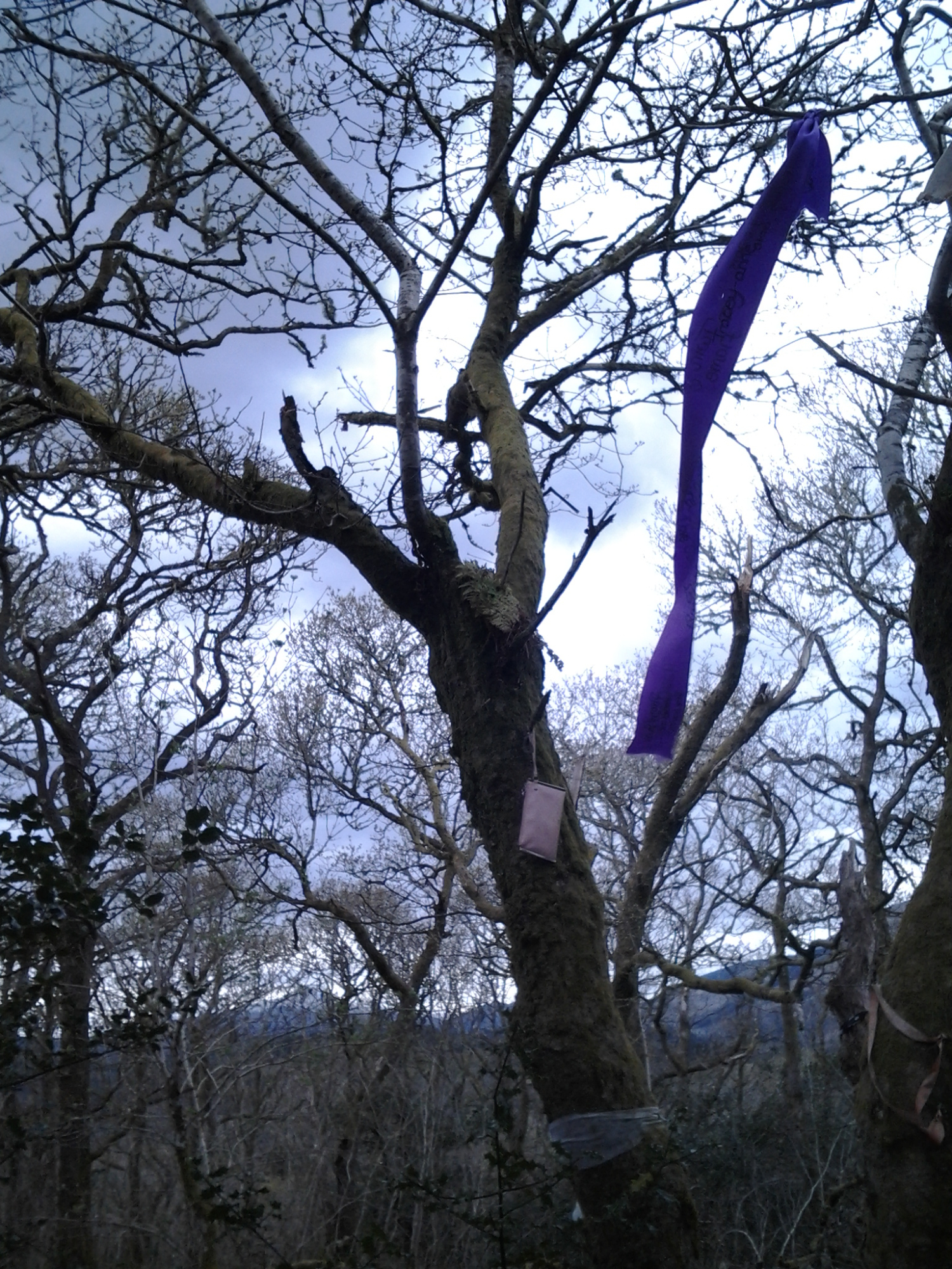
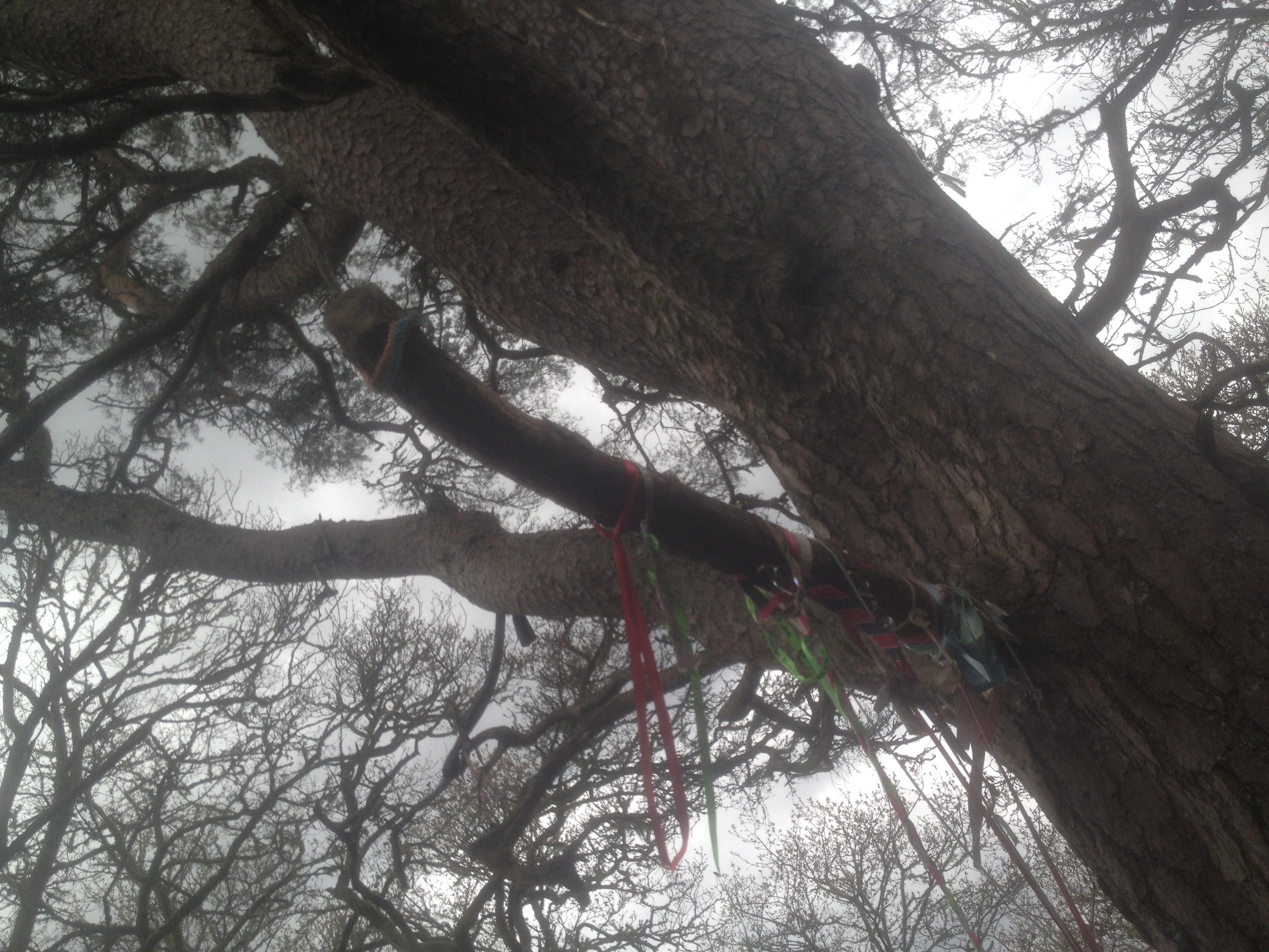
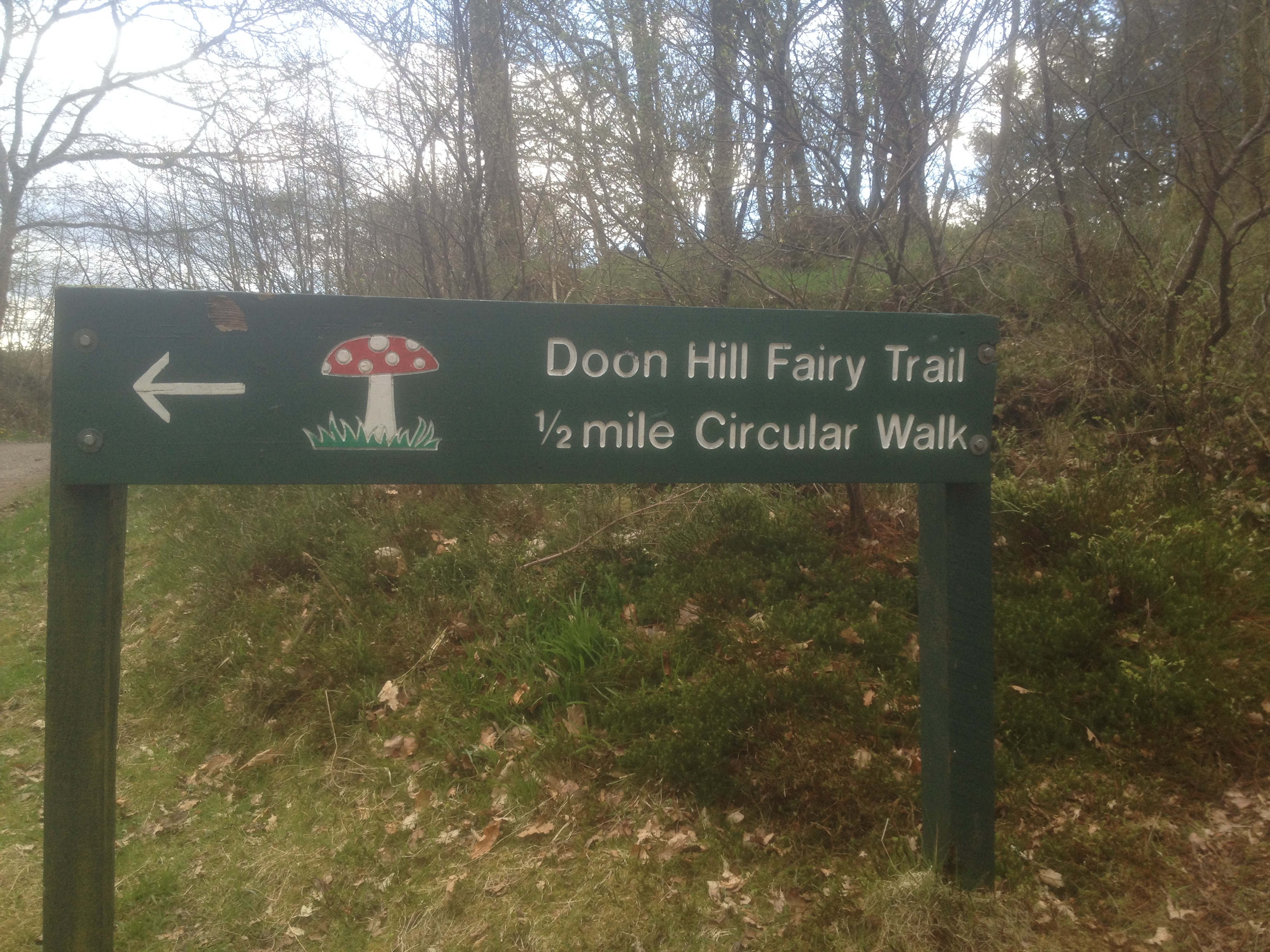
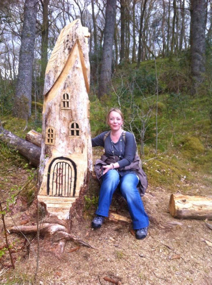
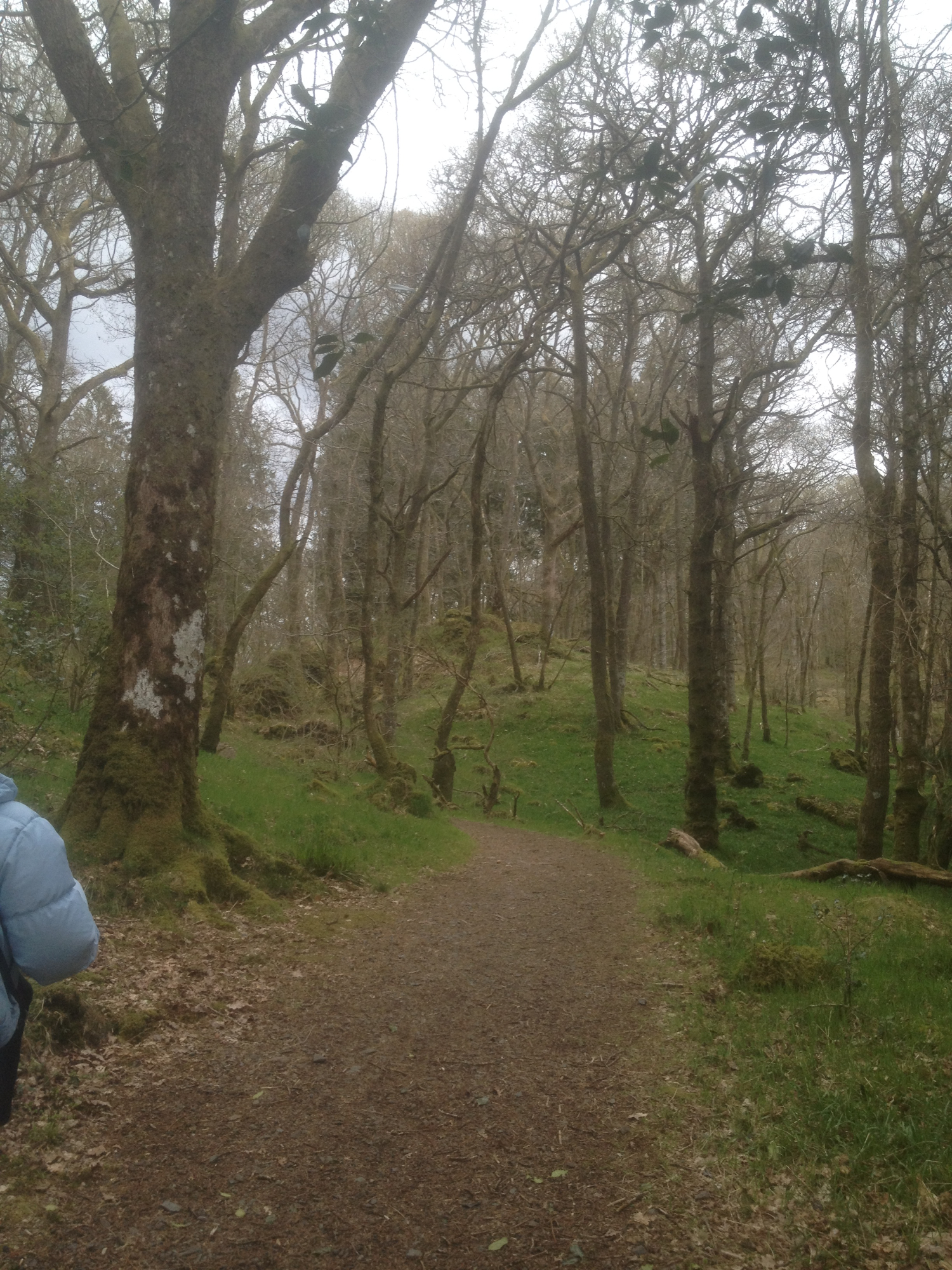
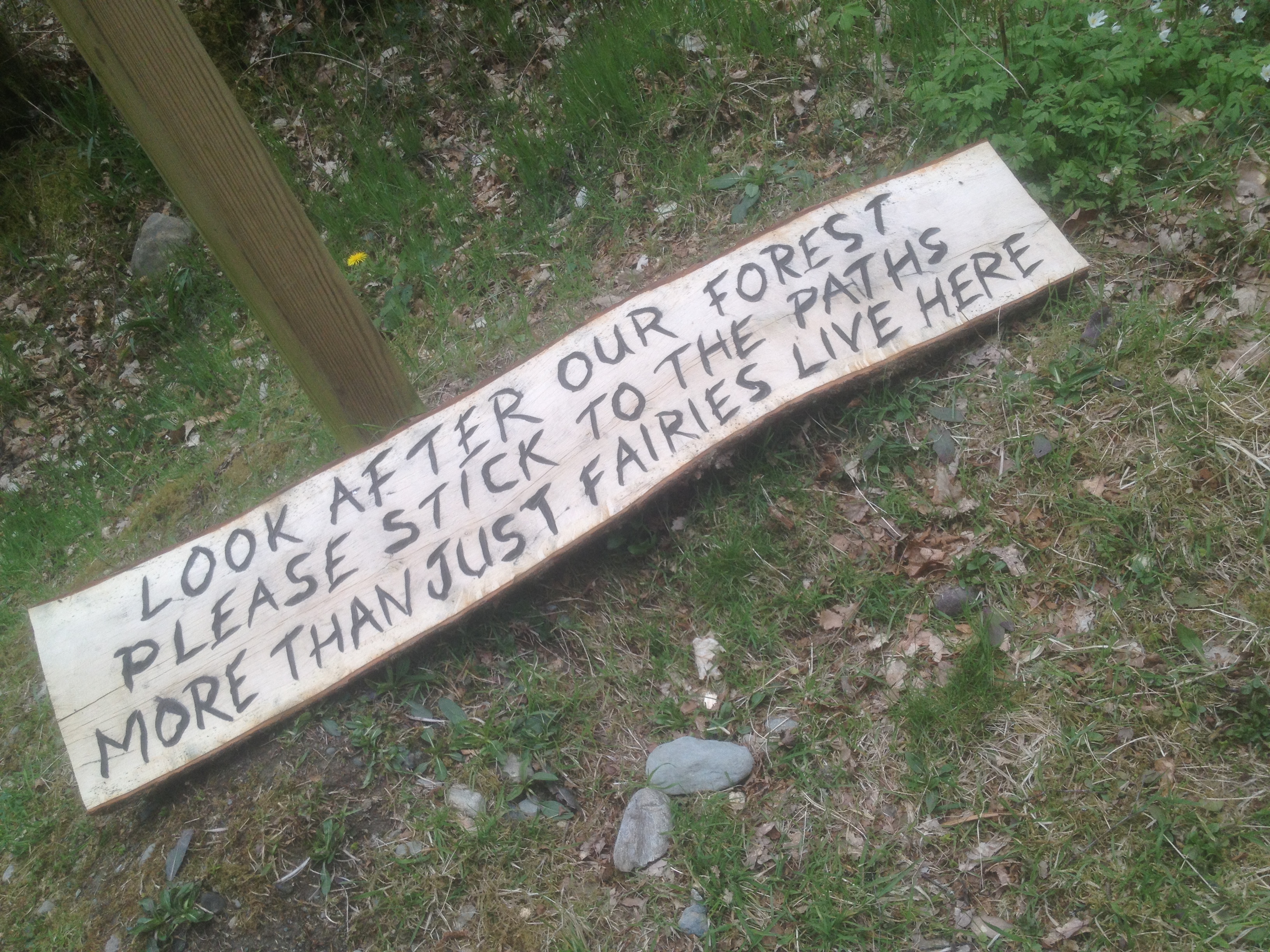
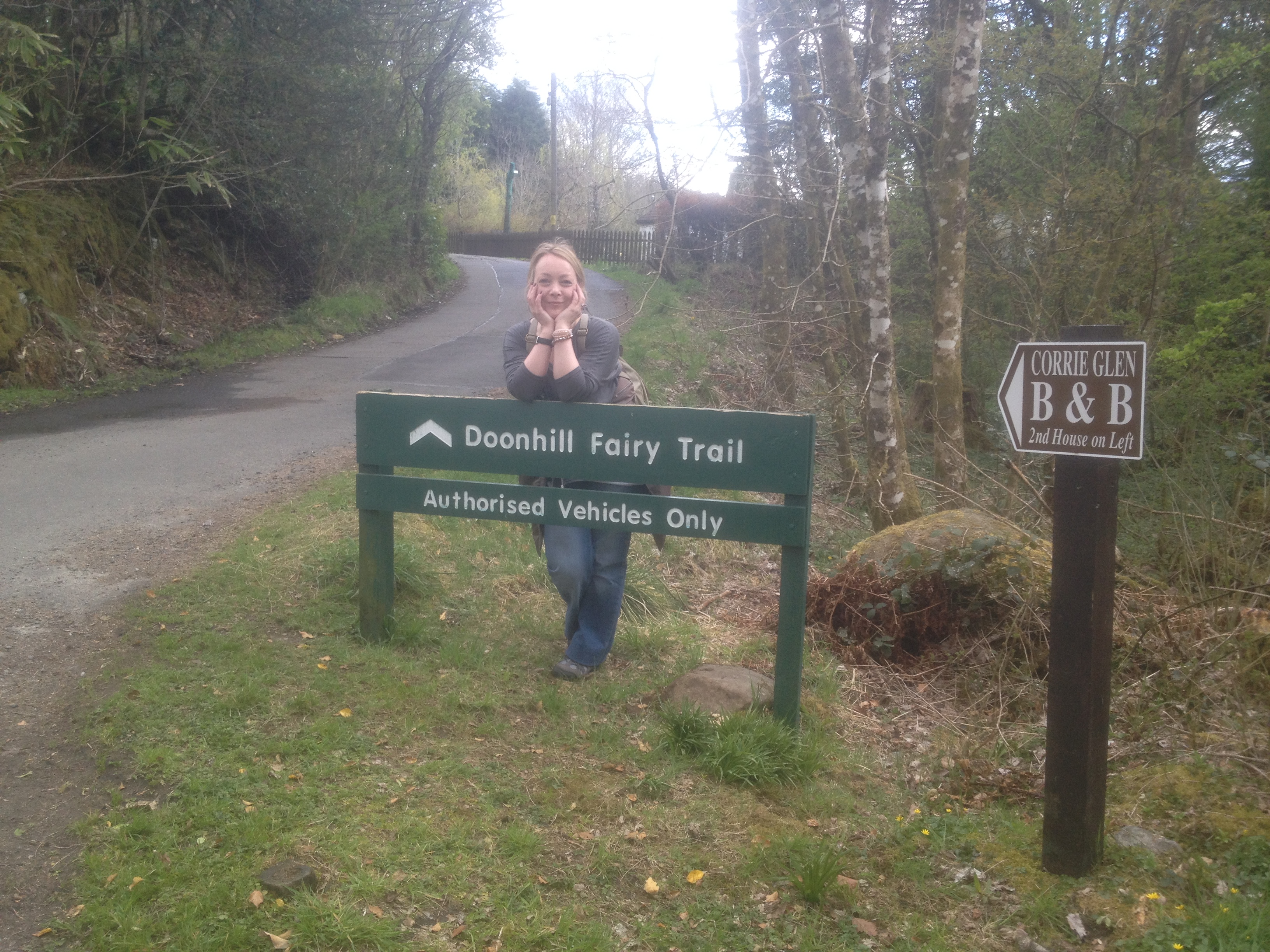
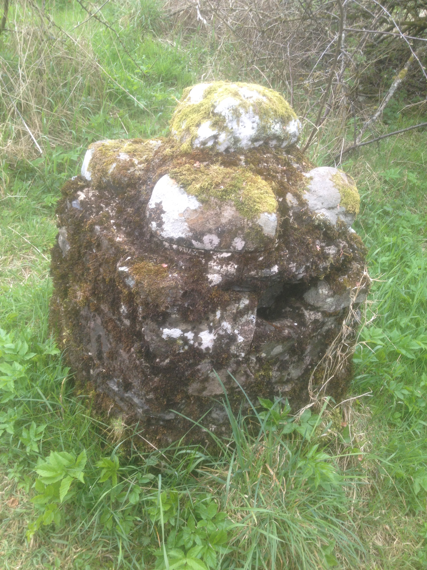
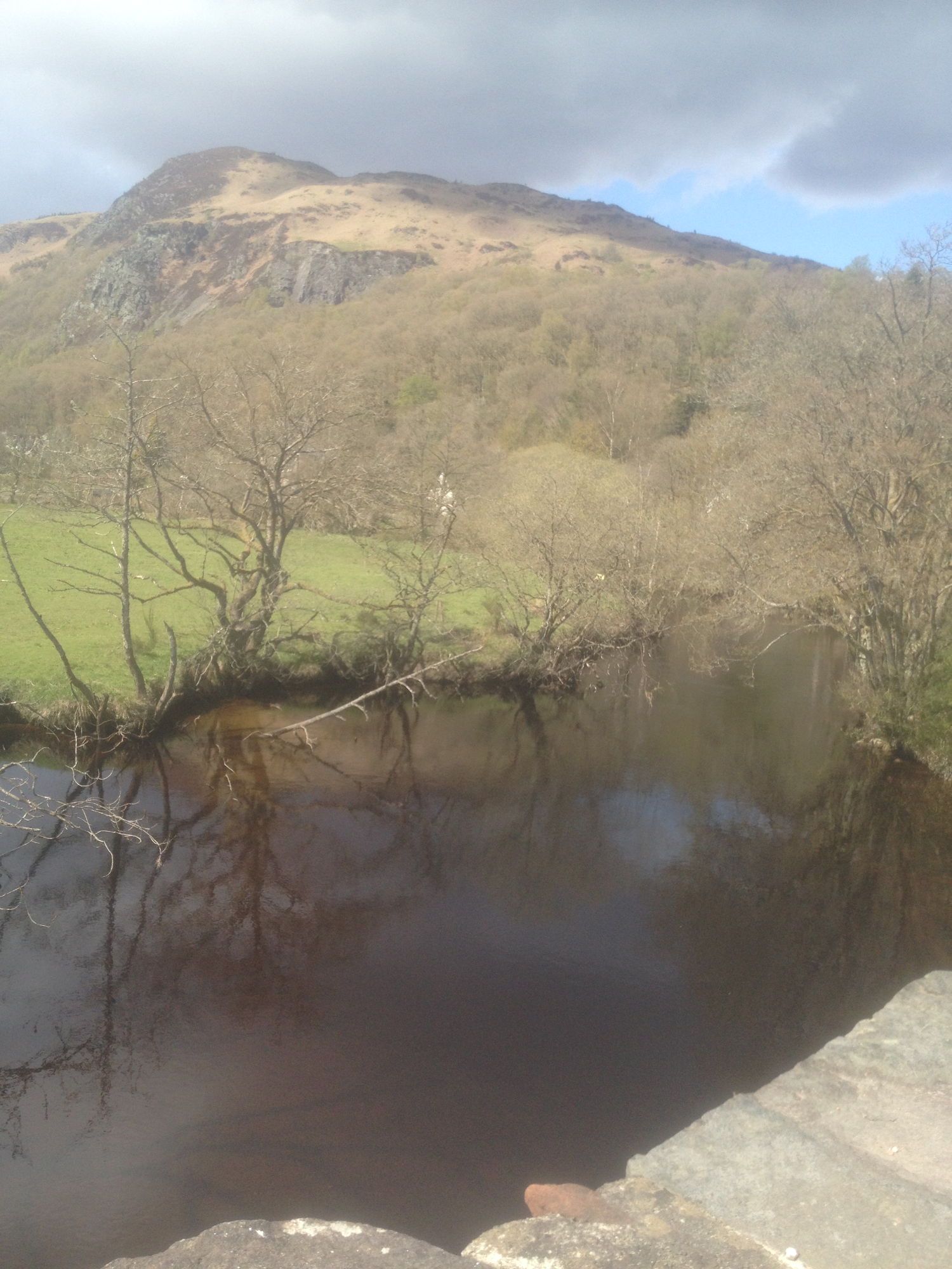
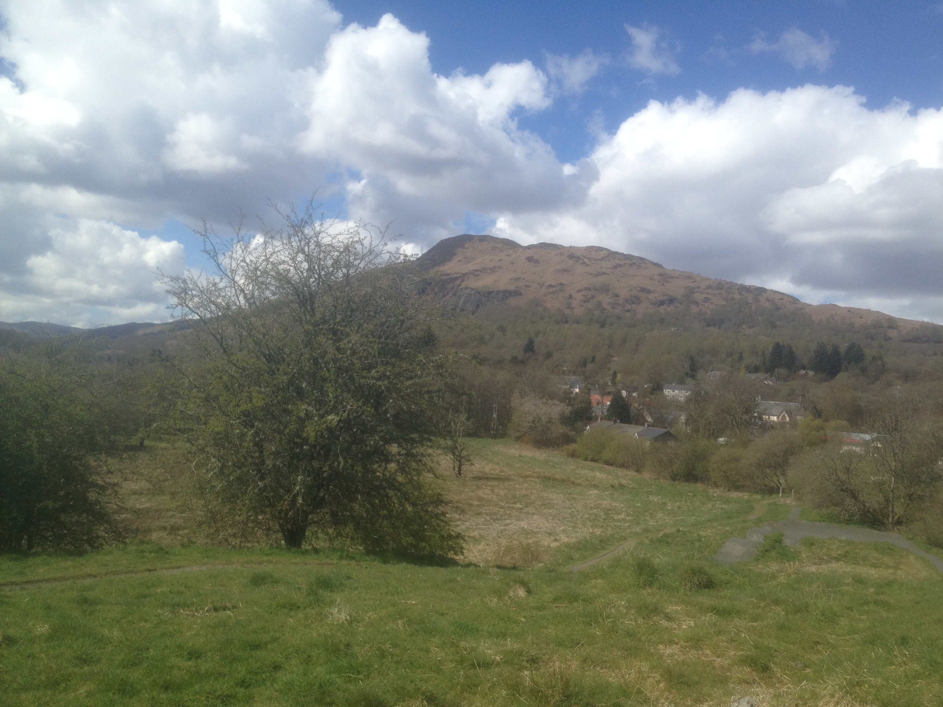
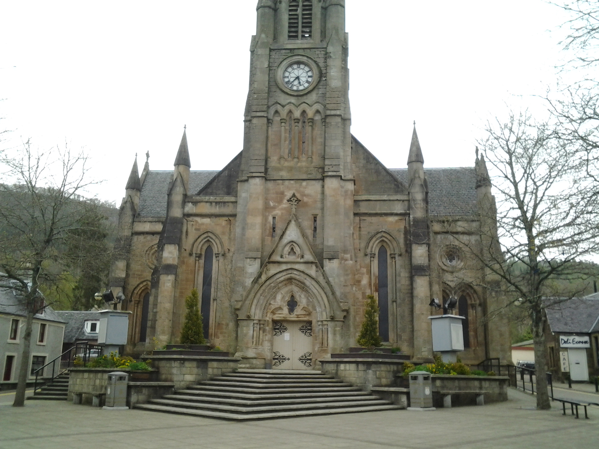
5. Doon Hill - Scotland
Robert Kirk (folklorist) - Doon Hill - Aberfoyle, Stirling - Scotland
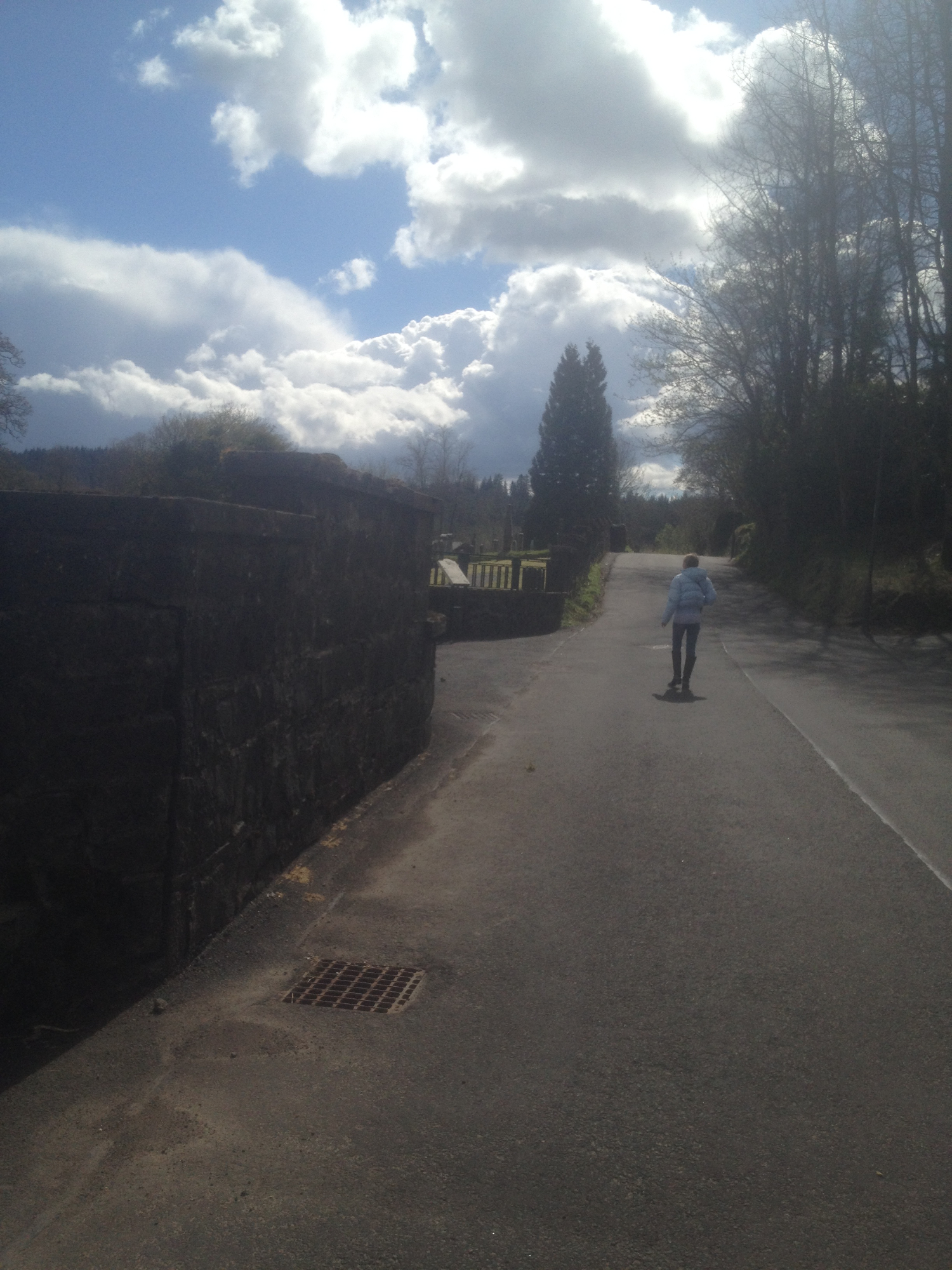
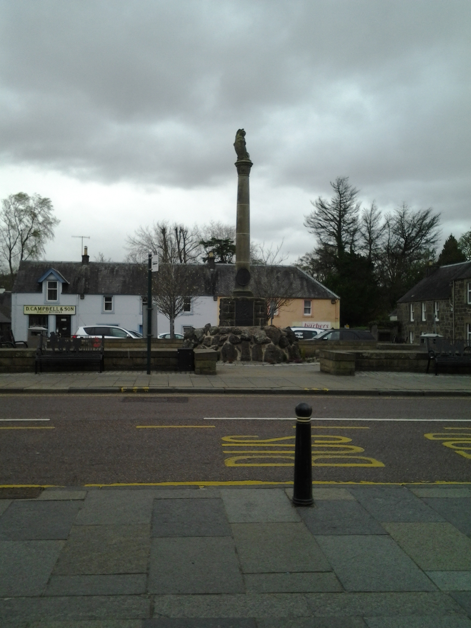
Aberfoyle (Scottish Gaelic: Obar Phuill) is a village in the Land Registration County of Perth and the local government district of Stirling, Scotland. The settlement lies 27 miles (43 km) northwest of Glasgow.
The town is situated on the River Forth at the base of Craigmore (420 metres high). Since 1885, when the Duke of Montrose constructed a road over the eastern shoulder of Craigmore to join the older road at the entrance of the Trossachs pass, Aberfoyle has become the alternative route to the Trossachs and Loch Katrine; this road, known as the Duke's Road or Duke's Pass, was opened to the public in 1931 when the Forestry Commission acquired the land.
Visitors were first attracted to Aberfoyle and the surrounding area after the publication of The Lady of the Lake by Sir Walter Scott in 1810. The poem described the beauty of Loch Katrine. Aberfoyle describes itself as The Gateway to the Trossachs, and is well situated for visitors to access attractions such as Loch Lomond and Inchmahome Priory at the Lake of Menteith.
Robert Kirk (9 December 1644 – 14 May 1692) was a minister, Gaelic scholar and folklorist, best known for The Secret Commonwealth, a treatise on fairy folklore, witchcraft, ghosts, and second sight, a type of extrasensory perception described as a phenomenon by the people of the Scottish Highlands. Folklorist Stewart Sanderson and mythologist Marina Warner call Kirk's collection of supernatural tales one of the most important and significant works on the subject of fairies and second sight.
Kirk was born in Aberfoyle, Scotland, the seventh and youngest son of James Kirk, minister at Aberfoyle, Perthshire.
Kirk had long believed that the local Doon Hill was the gateway to the "Secret Commonwealth", or the land of the Fairies.
In the late 1680s, Kirk travelled to London to help publish one of the first translations of the Bible into Scottish Gaelic. Gentleman scientist Robert Boyle financed the publication of the Gaelic Bible and pursued inquiries into Kirk's reports of second sight. Kirk died before he was able to publish The Secret Commonwealth. Legends arose after Kirk's death saying he had been taken away to fairyland for revealing the secrets of the Good People.
Scottish studies and folklore scholar Stewart Sanderson (1924–) reports that Kirk was in the habit of taking a turn in his nightgown on summer evenings on the fairy hill beside the manse, in order to get a breath of fresh air before retiring to bed: and one evening in 1692 – 14 May – his body was found lying, apparently dead, on the hill.
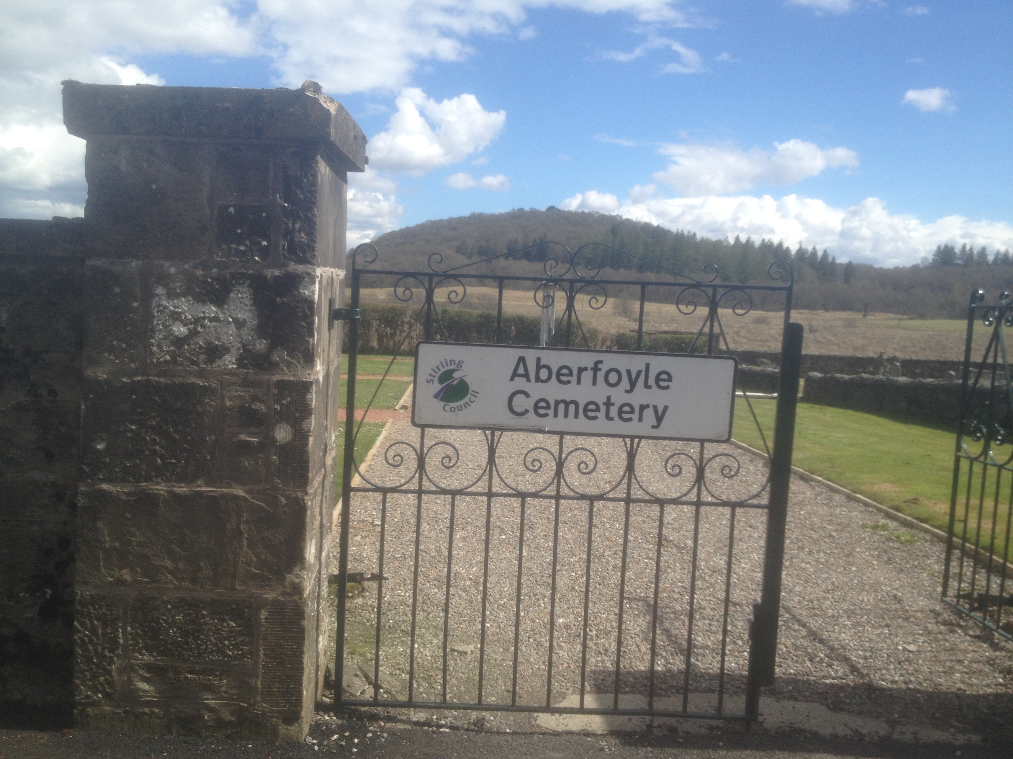
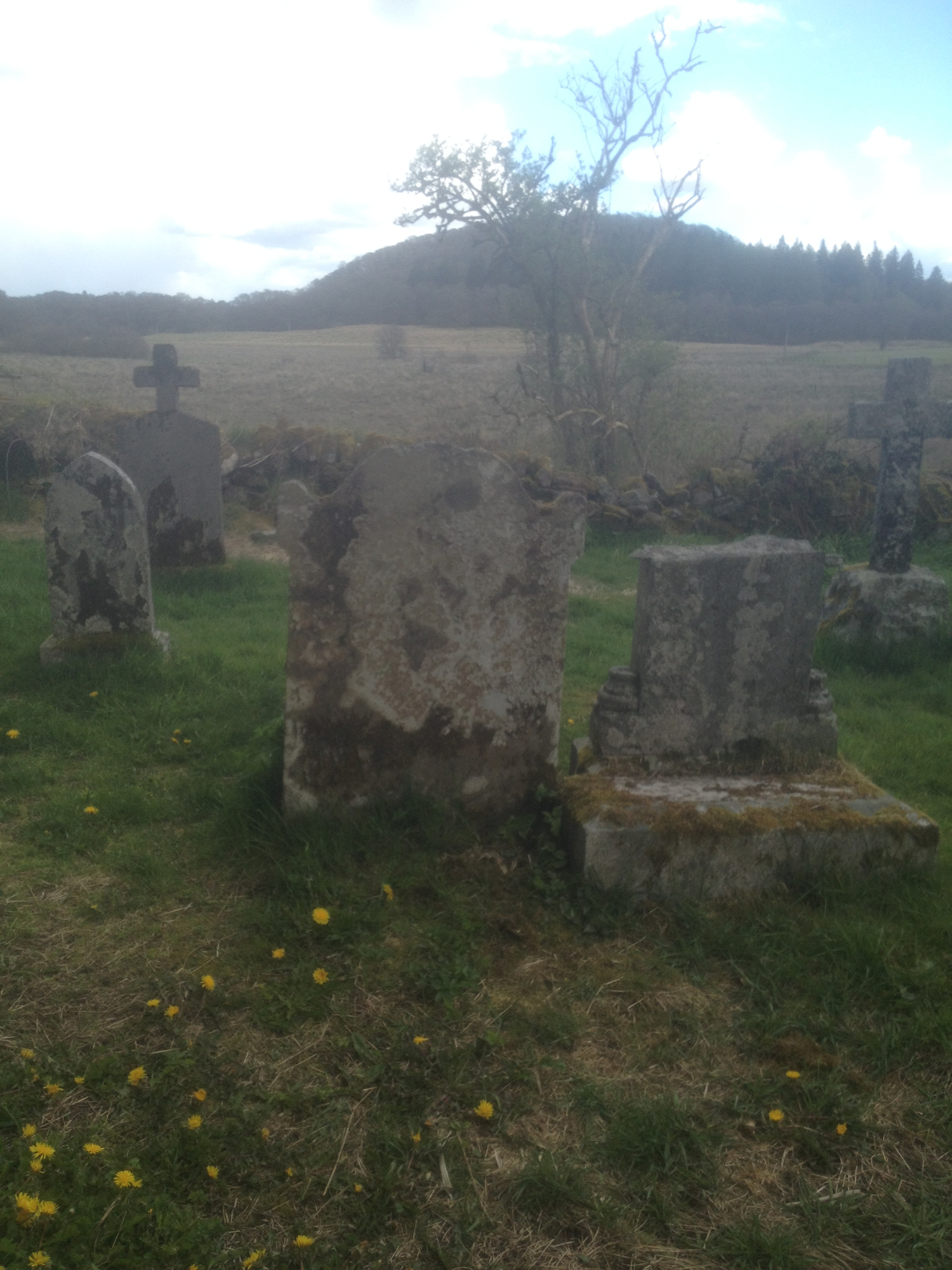
Kirk's tomb is located in the Aberfoyle churchyard. His grave was marked by a stone with the inscription, Robertus Kirk, A.M., Linguæ Hiberniæ Lumen. Popular legend questions whether his ashes or even his body is buried there. After his death, folktales arose saying that his body had been taken away by fairies to become the "Chaplain to the Fairy Queen".
Kirk collected these stories into a manuscript sometime between 1691–1692, but died before it could be published. More than a century would pass before the book was finally released by Scottish author Walter Scott in 1815 with the title, The Secret Commonwealth or an Essay on the Nature and Actions of the Subterranean (and for the most part) Invisible People heretofore going under the names of Fauns and Fairies, or the like, among the Low Country Scots as described by those who have second sight, 1691. Folklore scholars consider The Secret Commonwealth one of the most important and authoritative works on fairy folk beliefs.
Andrew Lang published a second edition of the book in 1893, under the title The Secret Commonwealth of Elves, Fauns and Fairies, followed by a 1933 version with an introduction by Robert Bontine Cunninghame Graham. Stewart Sanderson edited a new edition for the Folklore Society in 1976 followed by a contemporary version published by Robert John Stewart in 1990. Michael Hunter edited a new edition in 2001, and the New York Review Books published a new version in 2006 with an introduction by Marina Warner.
According to George MacDonald Ross, professor of philosophy at the University of Leeds, Kirk documented fairy folklore from traditional accounts in the Scottish Highlands to promote Christianity and its biblical account of "non-human spirits". Historian Michael Hunter believed that "Kirk also saw the value of second sight in vindicating the supernatural against 'atheists'".
Source HERE
To walk up the Doon Hill you start at bridge over the River Forth (Manse Road), Aberfoyle. Map HERE
Story link HERE (I met this lovely, informative gentleman at Holy Rude, while on the book trip).
6. Leith Hall - Scotland
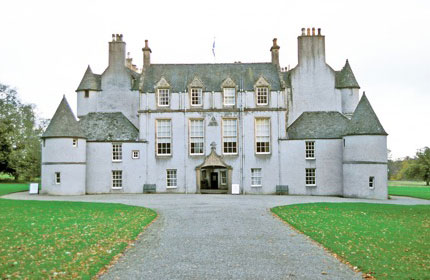
Leith Hall
Book Two - Awake in Purple Dreams
The National Trust for Scotland owns a series of superb properties across Aberdeenshire which together draw large numbers of people to North East Scotland. Leith Hall is the least well known of them, which is a little unfair given its tremendous charm and the range of attractions it has to offer. Leith Hall reopened after refurbishment in July 2013.
Leith Hall is a country house in Kennethmont, Aberdeenshire, Scotland. Built in 1650, on the site of the medieval Peill Castle, and run by the National Trust of Scotland since 1945, Leith Hall is set in a 286-acre (1.16 km2) estate with scenic gardens.
The manor was the home of the Leith-Hay family for nearly four centuries.
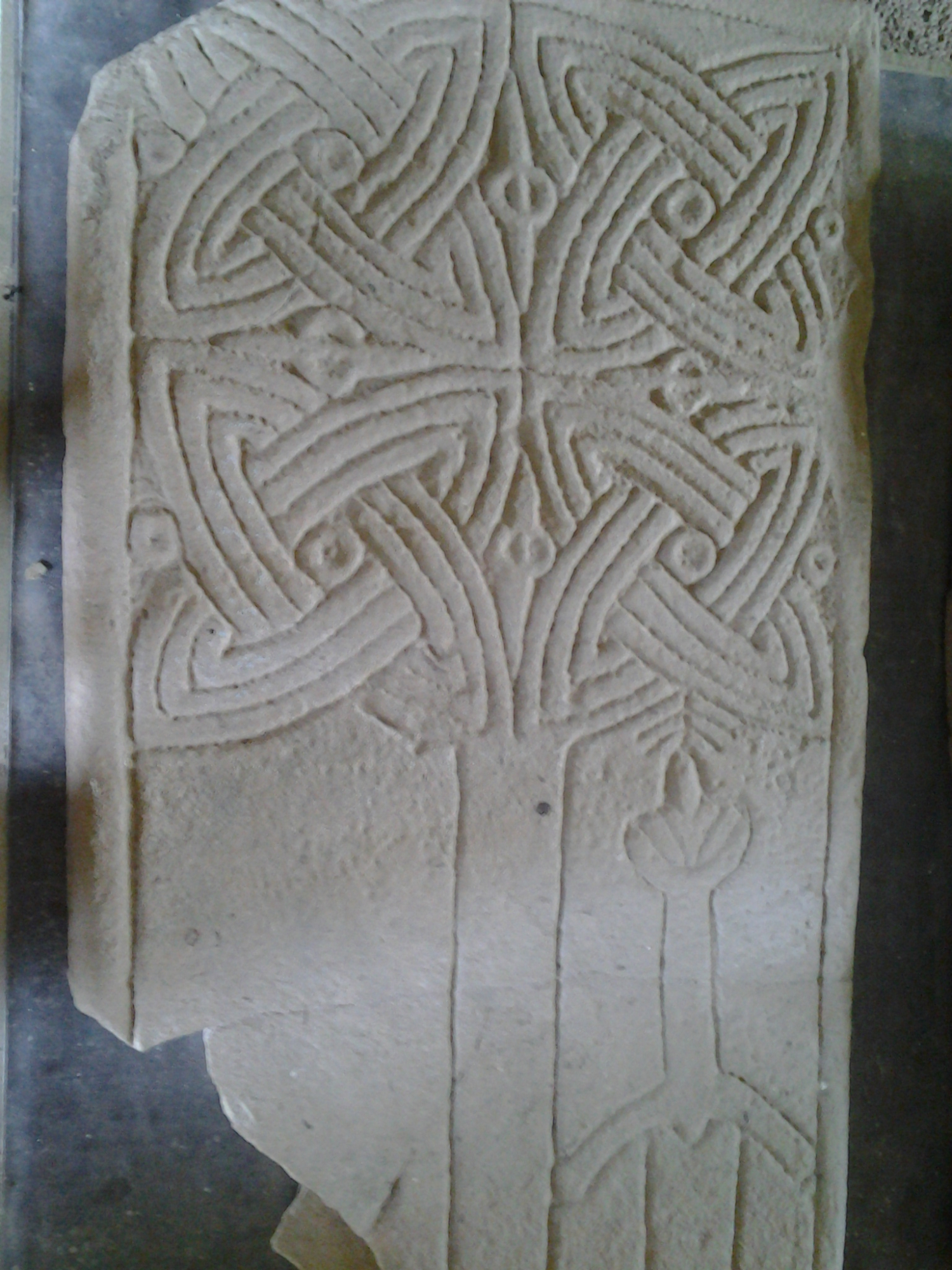
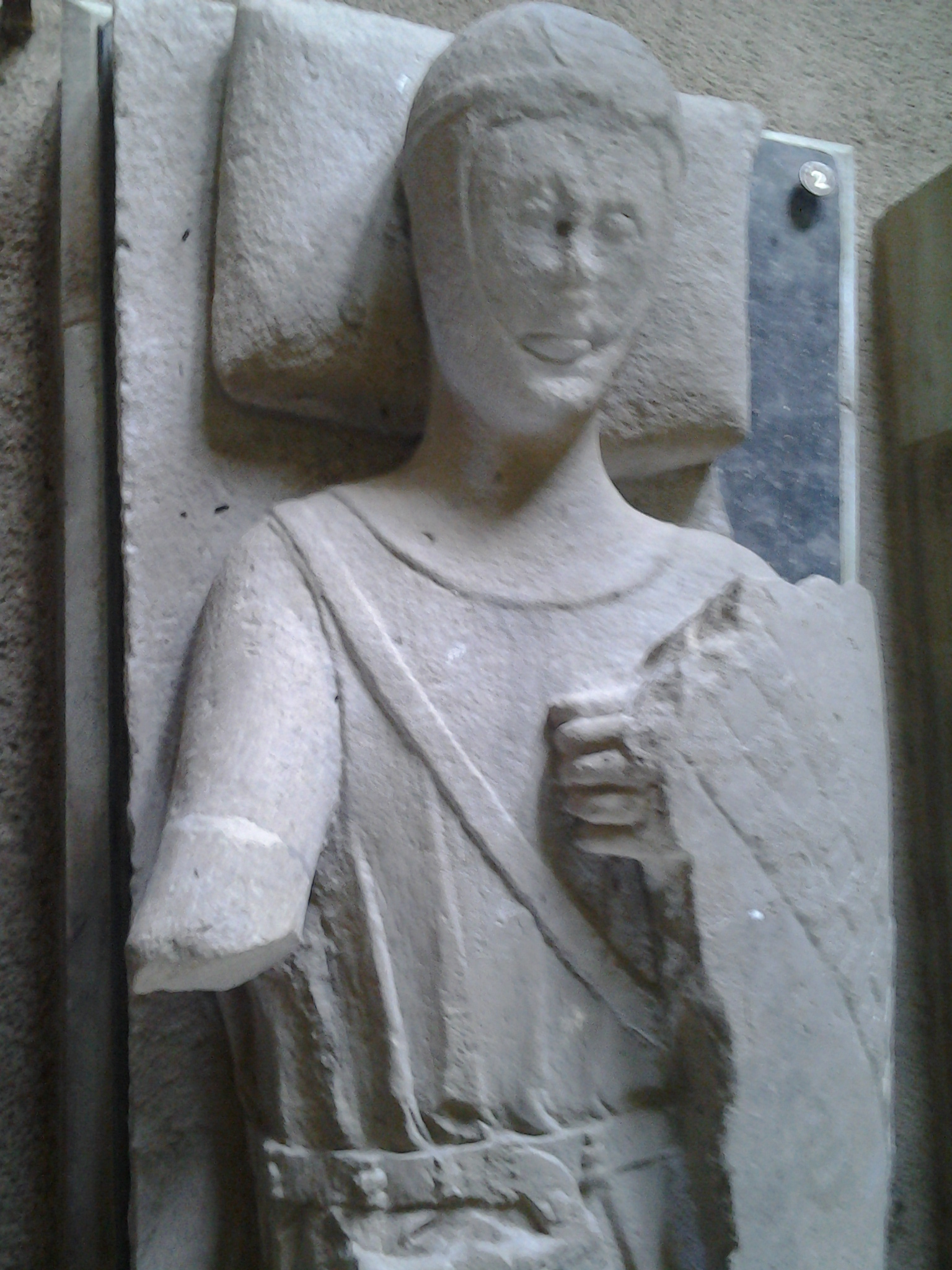
The Percylieu Stone was found a few miles south of Leith Hall at Clatt, and is thought to date back to the 600s. It was dug up in about 1840, then trimmed to allow it to be used as a paving slab in a byre.
Even more spectacular is the Wolf Stone, found at Leslie in Aberdeenshire in 1842, before being uses to help construct a wall. Despite this you can still clearly see the very unusual carving of a wolf on the stone, together with the more common mirror-and-comb symbols.
ScotlandSite Name: Leith Hall
Country: Scotland County: Aberdeenshire Type: Class I Pictish Symbol Stone
Nearest Town: Inverurie Nearest Village: Kennethmont
Map Ref: NJ540300
Latitude: 57.358147N Longitude: 2.766221W
Parish LESLIE (GORDON)
Former Region GRAMPIAN
Former District GORDON
Two Pictish Stones were donated to the National Trust in 1945 to be kept at their Leith Hall property. (It is really a fortified house). The first one, the Wolf Stone, came from Newbigging Leslie - about five miles away. The second, the Percylieu, was found at Hillhead of Clatt which is only a couple of miles away. Both are displayed in a shelter along with various other stones - querns, grindstones etc.
Archaeological Notes
NJ62NW 41 6055 2581 removed to 5399 2998 (NJ 541 297) A fragment of a Pictish symbol stone, illustrated by Stewart (1867), and by Allen and Anderson (1903), now stands at the side of the walks in the garden of Leith Hall. It came from Newbigging Farm, Leslie, where both its original site and the position where it stood for many years within the farm garden are shown on OS 6 inch map 1901 at NJ 6055 2581 and NJ 6035 2575 respectively.
Stuart states that it was found about 1841 "in trenching a piece of ground ... near other large stones which were buried in the ground" and built into a dyke, when part of it was broken off. Shortly before 1866 it was removed from the dyke.
The Name Book, compiled 1866, states that the stone was found sunken in marshy ground in an inclined position facing Bennachie. No mention is made of other large stones.
Name Book 1866; J Stuart 1867; J R Allen and J Anderson 1903; J Ritchie 1915.
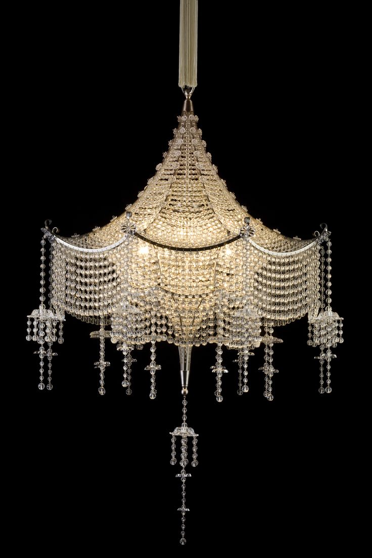
7. Dorcha Crun Theatre - Fictional Title
Lighting inspiration:
Lobmeyr Carl Witzmann, Pagoda Chandelier.
The Scala Theater, Vienna 1922.
The superb dance of 'Sergei Polunin' reminds me of a certain scene played by a male role in 'The Alptraum of Alithia'. A play mentioned in the book.
Song ~ Hozier's 'Take Me To Church'
Oh, that stride at 0:47 pure magic! I just had to include the video here. Enjoy! :o)
Dorcha Crùn Theatre
(Fictional title - Scottish Gaelic meaning ~ Dark Crown)
(Book One - A Carpet of Purple Flowers)
Inspired by the old theatres left in decay dotted about SW London. Such as -
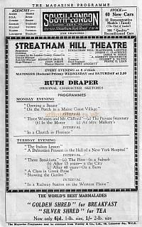
STREATHAM - REGAL CINEMA (aka ABC & Cannon)
Opened as The Regal in 1938 with Ginger Rogers in "Vivacious Lady" with seating for nearly 2000 people.The side walls of the circle had backlit niches in the sidewalls which contained Art Deco style figurines. Re-named the ABC in 1977 then later Cannon Cinema then back to ABC just before closing in 2000. It had been given a Grade II Listed building status but only the front, not the auditorium.
Squatters moved in and caused several fires and there were raves in the vacant building. Unfortunately in 2004, the auditorium was demolished & apartments were built on the site with the original cinema facade and foyer retained as an entrance.
Link to Streatham's Theatres HERE
Dorcha Crùn Theatre - SW London (visual fun - fictional inspiration below)
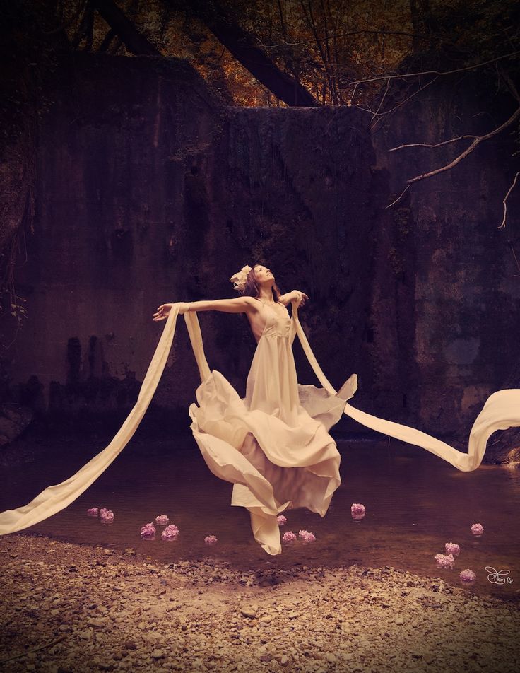
Photographer: Andrea Gottardi
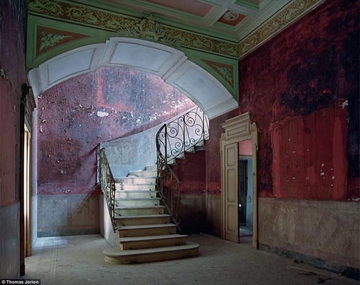
Photographer Thomas Jorion
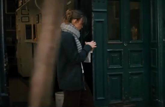
8. The Bookshop- Sevón (Fictional)
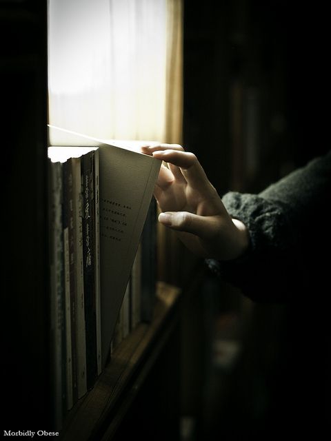
Bea's Bookshop ' Sevón' - inspired by a love of second-hand bookshops and old buildings.
Sevon is pronounced SEHVAHN. Latin origin and is also a variation of Seven (English).
Greyhound Lane, Streatham, SW16
LOCATION: Situated on south side of Greyhound Lane close to the junction with Streatham High Road. Greyhound Lane is a busy thoroughfare between Streatham Common and Streatham Vale. Surrounding are numerous independent retailers, cafes and restaurants. Public transport is available from Streatham mainline station.
DESCRIPTION: The property - Corner retail unit (Freehold)
ACCOMMODATION: The property comprises of a two bedroom flat above the ground floor shop.
Elly's Bistro - Also on Greyhound Lane, SW16.
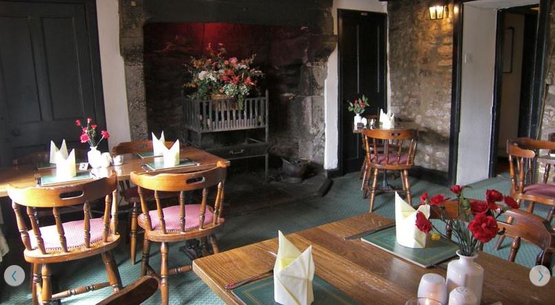
9. The Castle Pub
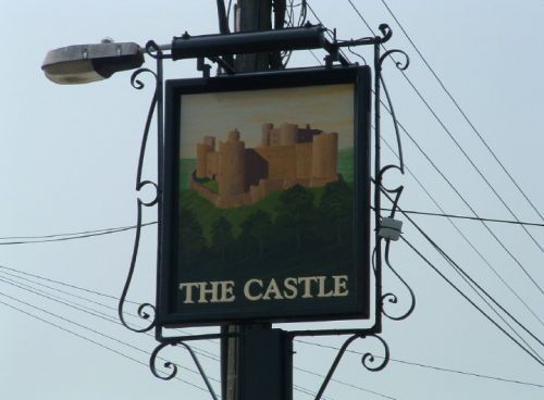
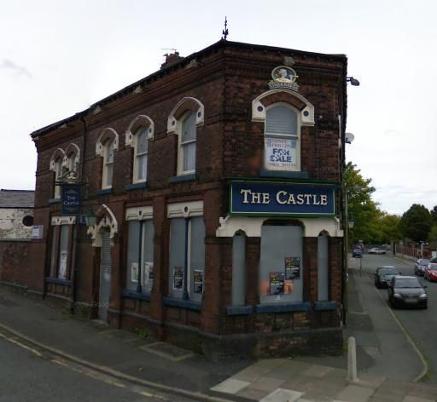
The Mitcham Castle Pub (fictional title)
Brandon's hang out - 'oldskool' SW London lads.
Single bar corner pub with banquettes along two walls and tables around the room, serving mainly local clientèle.
http://www.fancyapint.com/ user reviews:
- A bit of a working-class residential backwater, as the only pub for half a mile or more, this one pitches itself very much at the locals. Still, the barman was friendly enough.
- Awful place. Dirty, scummy punters who yell abuse at people walking past. Lots of dodgy 'dealing' going on, this place has had lots of drug problems in the past. Recently reopened under new management but nothing has changed. Unwelcoming staff, no food or good choice of beers. Needs demolishing!
- The reason I love this pub is because it keeps all of the chavesque scum from all of the rest of the pubs in the area.
- Chav central. One of the worst places I've been to. A cocktail stick-chewing barman, who seemed more intent on chatting to his mates than actually serving any punters.
- There's a sign above the bar which reads "a warm welcome". Sadly I found nothing of the sort, the beer was rubbish, the locals hostile and almost crazy at times and the whole place looked like the inside of Alf Garnett's local - hideous. Bar staff were quite frankly rude, one of the worst pubs in London.
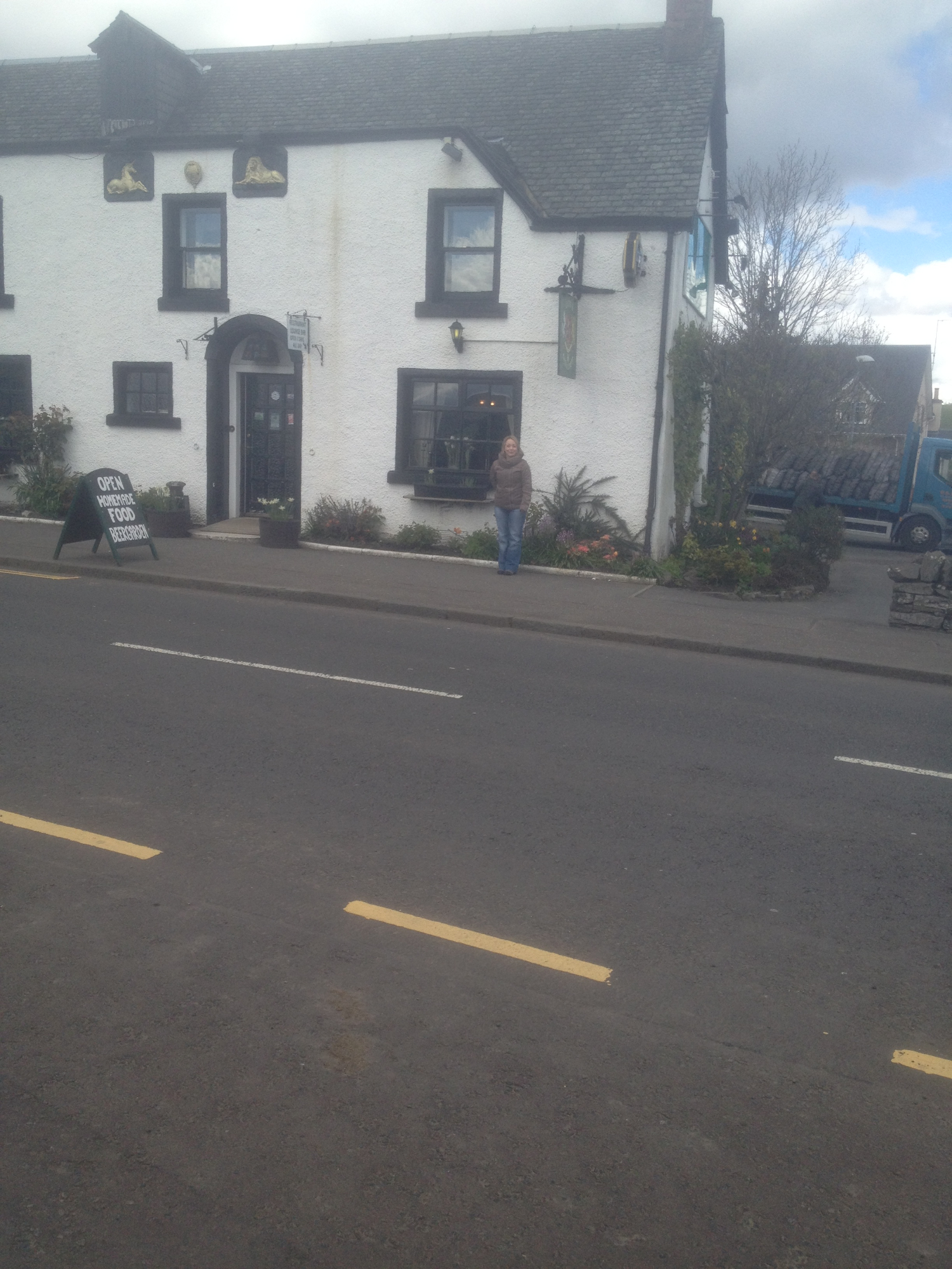
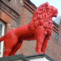
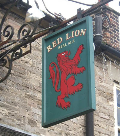
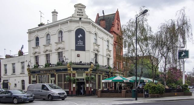
10. The Red Lion
Photography by Thorskegga Thorn
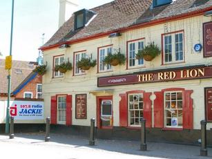
The Red Lion Pub
This pub title is everywhere around London / UK.
The most local to Bea's area is in London rd, Wallington SM6 (picture above).
A little history -
Pub names are used to identify and differentiate each public house. Many public houses are centuries old, and many of their early customers were unable to read, but could recognise pictorial signs.
The sign of the Red Lion was once easily the most common sign in the country. Indeed, in 1986 there were over 600 Red Lions in Great Britain.
It thus can stand for an archetypal British pub. The lion is one of the most common charges in coats of arms, second only to the cross, and thus the Red Lion as a pub sign probably has multiple origins: in the arms or crest of a local landowner, now perhaps forgotten; as a personal badge of John of Gaunt, founder of the House of Lancaster; or in the royal arms of Scotland, conjoined to the arms of England after the Stuart succession in 1603. A pub called the Red Lion appeared in the British sitcom Dad's Army.
However, the number is slowly decreasing as pubs close and others are renamed with more contemporary titles.
The Red Lion inn sign evolved because of John of Gaunt who, during the fourteenth century, was the most powerful man in the England. Born in Ghent in 1340, he was Duke of Lancaster and fourth son of Edward III. Gaunt is a corruption of his birthplace.
In 1359 John of Gaunt married his cousin, Blanche of Lancaster, and was created duke in 1362. His wife died in 1369 and in 1372 he married Constance, daughter of Pedro the Cruel of Castile, and assumed the title King of Castile - though he failed by his expeditions to oust his rival, Henry of Trastamare.
Before his father's death, he became the most influential personage in the realm and was thought to have ambitions for the crown. He opposed the clergy and protected Wycliffe. The young King. Richard II, distrusting him, sent him in 1386 on another attempt to secure a treaty for the marriage of his daughter Catherine to the future King of Castile.
After his return to England in 1389 he reconciled Richard to his [John's] brother, the Duke of Gloucester, and by Richard was made Duke of Aquitane and sent on several embassies to France. On his second wife's death, he had married in 1396 his mistress, Catherine Swynford by whom he had three sons, legitimated in 1397. Henry VIII descended from the eldest of these. However, he was not a competent general and he became increasingly unpopular amongst the ordinary people. When Wat Tyler led an insurrection in 1381 it was John of Gaunt's palace which was destroyed.
John of Gaunt is mainly referred to in pub names by a reference to his badge. In Scotland, the Red Lion is a heraldic reference because when James I [also James VI of Scotland] came to the throne he ordered that a heraldic red lion should be displayed in public places.
11. The Bluebell Manor (Fictional) UK
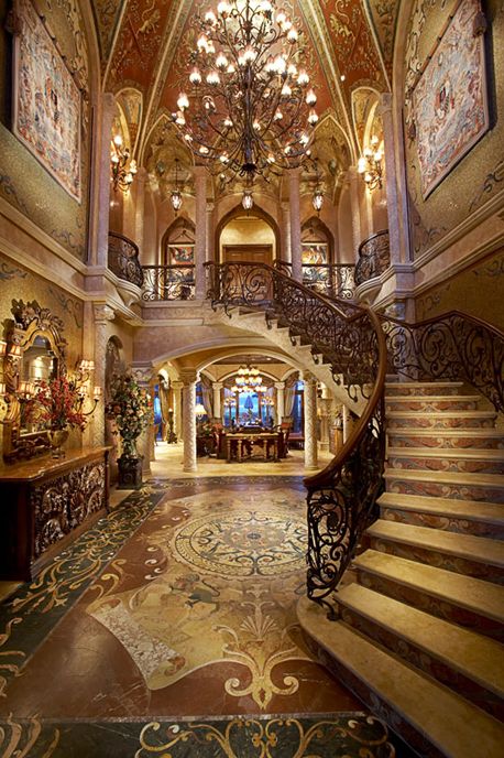
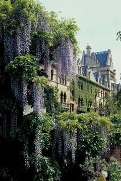
The Bluebell Manor (not far from London) is an opulent mansion, only an elite few dine here, as privately owned. Wisteria covers the façade and bluebells grow in abundance on the grounds.
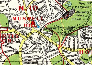
12. Muswell Hill
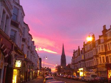
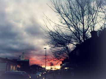
Photography by Mark Hillary - Muswell Hill at dawn
Muswell Hill stands between Alexandra Palace and Highgate Woods in the green and leafy borough of Haringey. Its high position means far reaching views across the capital. With a bustling Broadway, red brick predominantly Edwardian houses with a few Victorian, and some 1920s and 1930s.
The name Muswell stems from a natural spring - the "Mossy Well" - which was said to have miraculous properties.
The traditional story tells that a Scottish king was cured of disease after drinking the water.
The area became a place of pilgrimage for healing during medieval times.
In 1787 one commentator wrote that nowhere within 100 miles (160 km) of London was there a village so pleasant or with such varied views. Little had changed by the middle of the 19th century. One of the houses of the time was The Limes. This house occupied the angle of Muswell Hill Road with Colney Hatch Lane and was a three-storey house with portico and two-storey wing approached by a double carriage drive through impressive gateways. The large grounds of the house extended to Tetherdown and included a lake. Opposite The Limes was Muswell Hill pond and beyond that the Green Man inn, built of stone.
More history HERE
In Muswell Hill:
- The Odeon cinema - Grade II* listed building that has retained its art deco features.
- Alexandra Park - the seven acre “Ally Pally” is surrounded by 196 acres of beautiful parkland and grounds that have a pub and restaurant, a boating lake, pitch and putt course, deer enclosure, rose garden and amazing views across London
- Highgate Wood – 70 acres of ancient woodland
- Queen’s Wood - an ancient oak-hornbeam woodland that doesn’t have a park or playing fields but does have a children's adventure playground
- Coldfall Wood - an ancient wood
- Parkland Walk - a four and a half mile walk in a designated nature reserve between Finsbury Park and Alexandra Palace. The Walk connects Finsbury Park, Stroud Green, Crouch Hill, Highgate, Muswell Hill and Alexandra Palace and is a haven for plants and wildlife
Nearby tube stations include Highgate (Northern line), East Finchley (Northern line) and Bounds Green (Piccadilly line).
NEW ~ Book Two ~ Awake in Purple Dreams

BOOK THREE ~ The Purple Book of Menteith
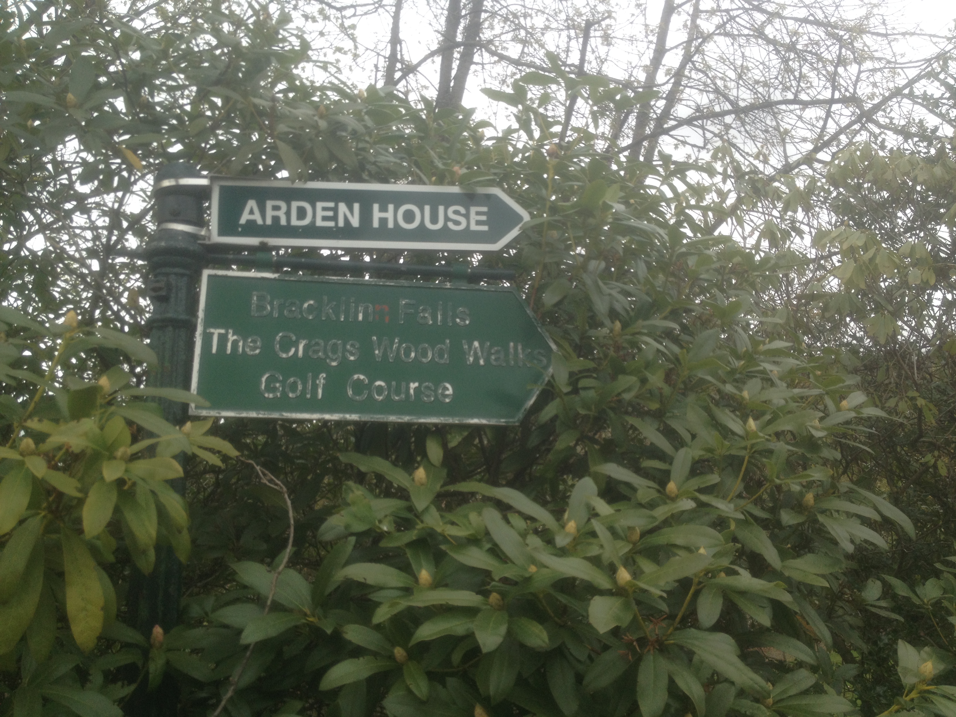
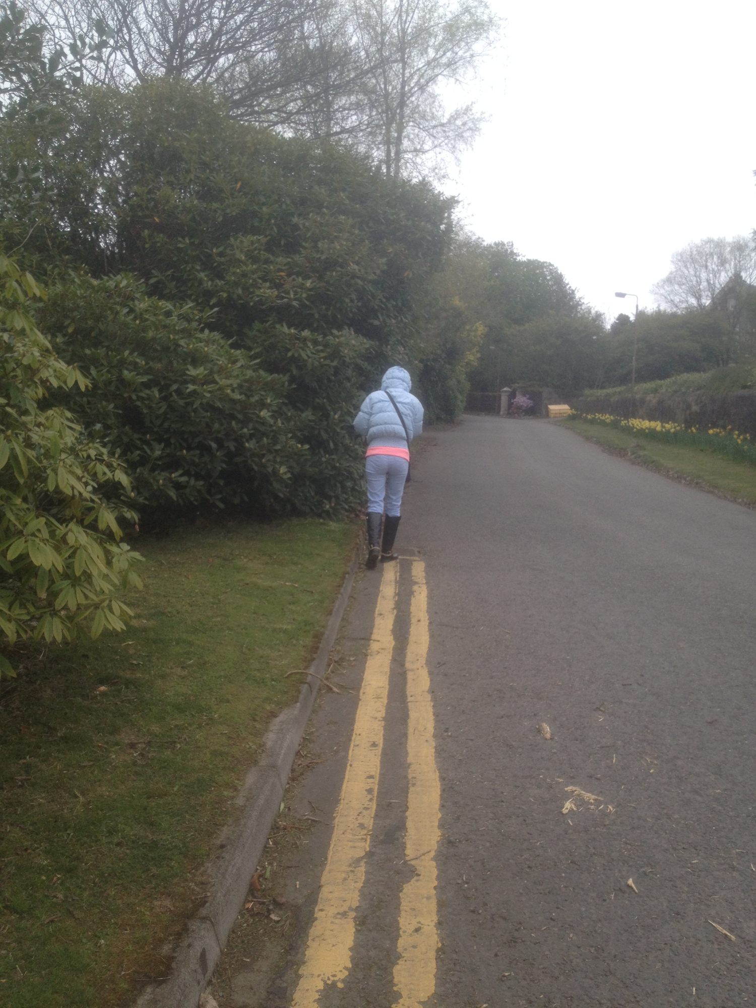
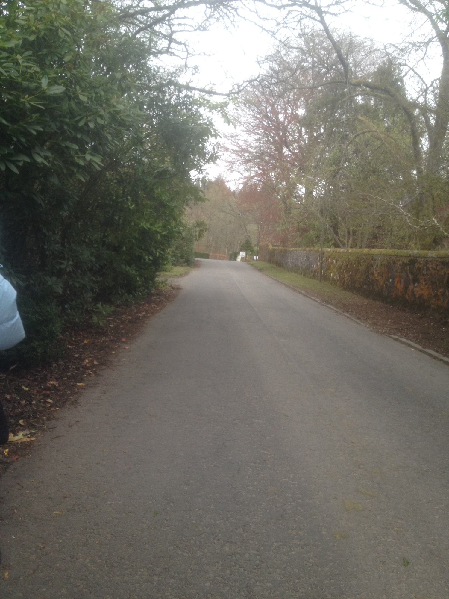
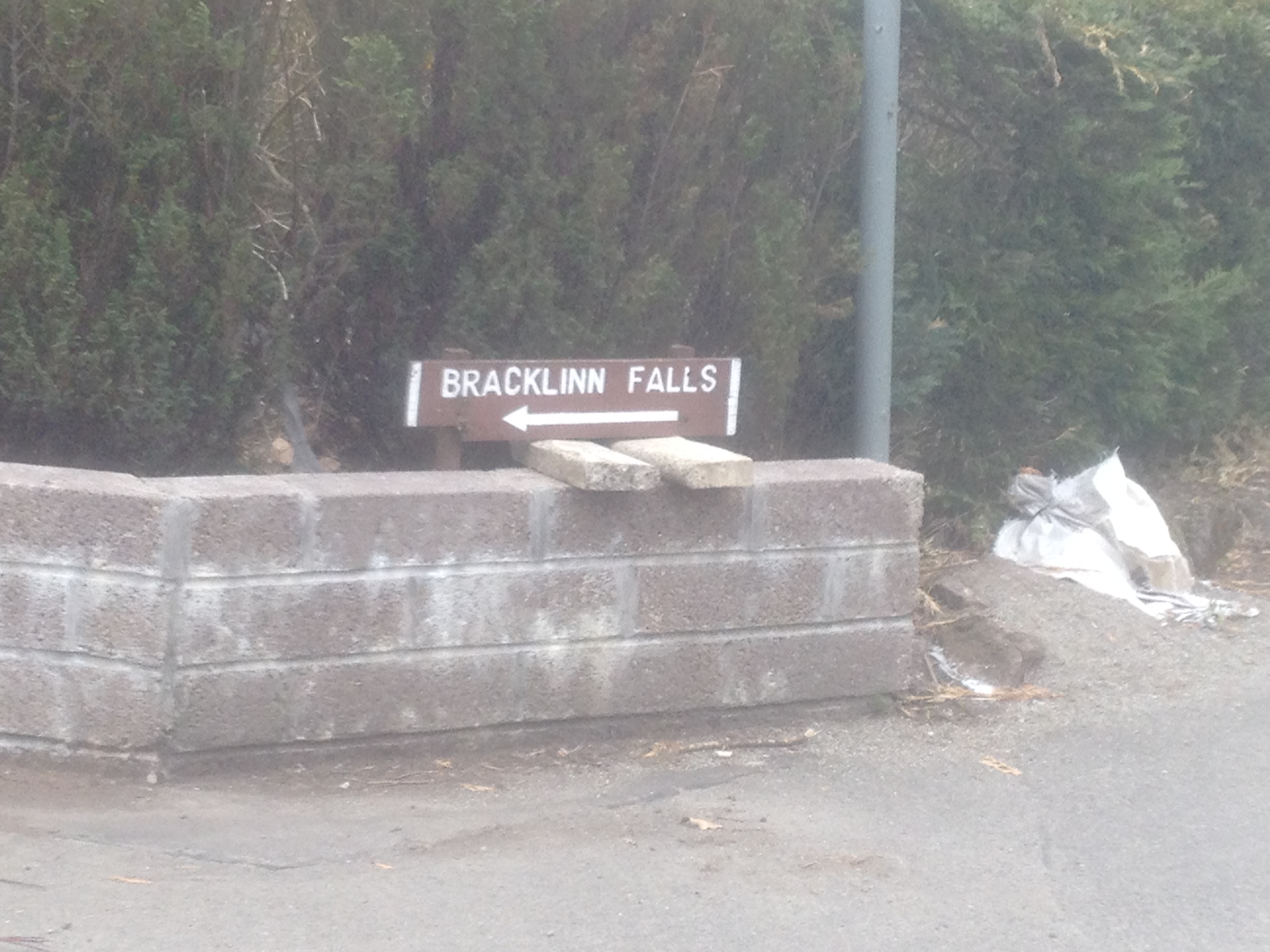
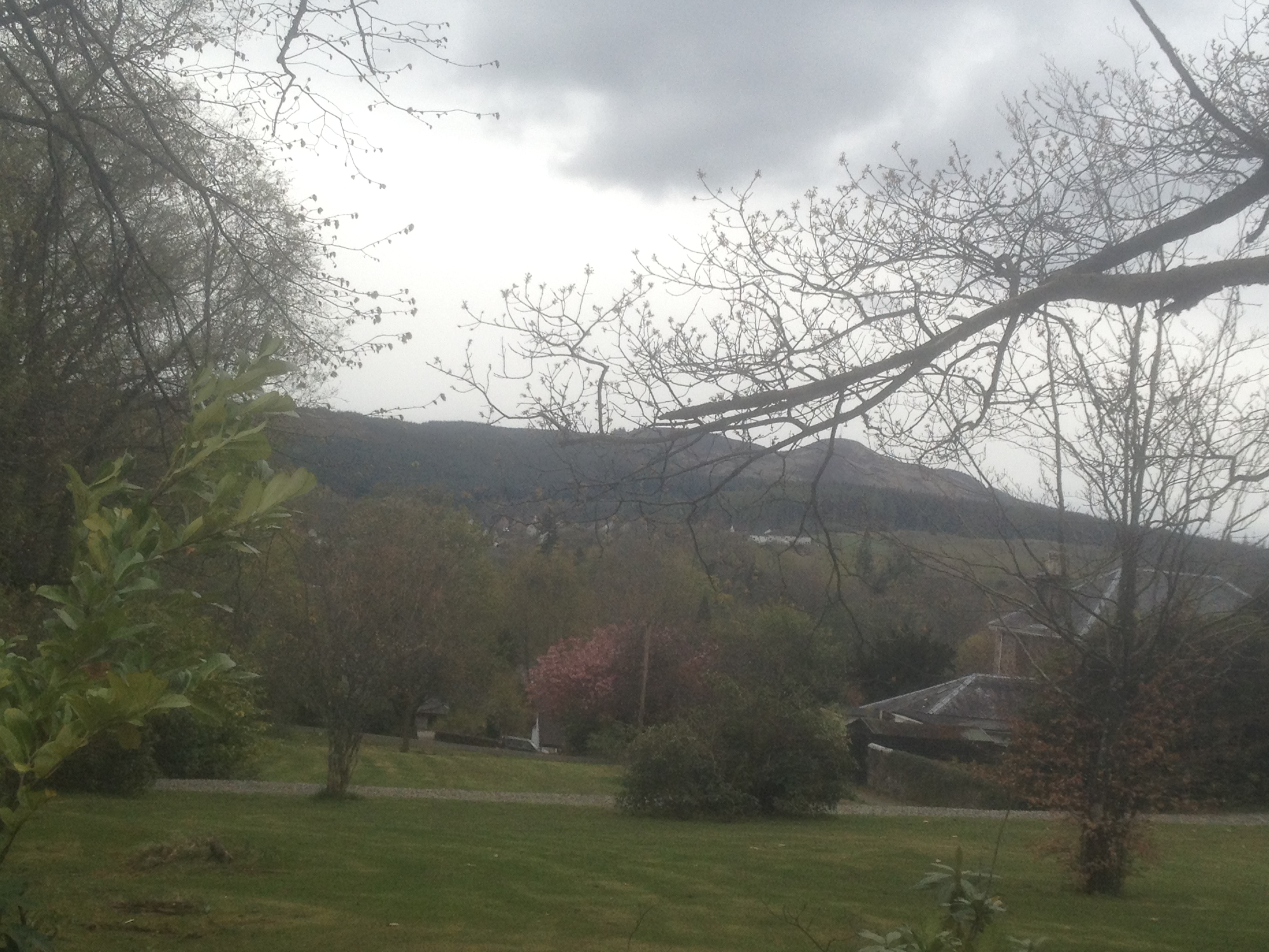
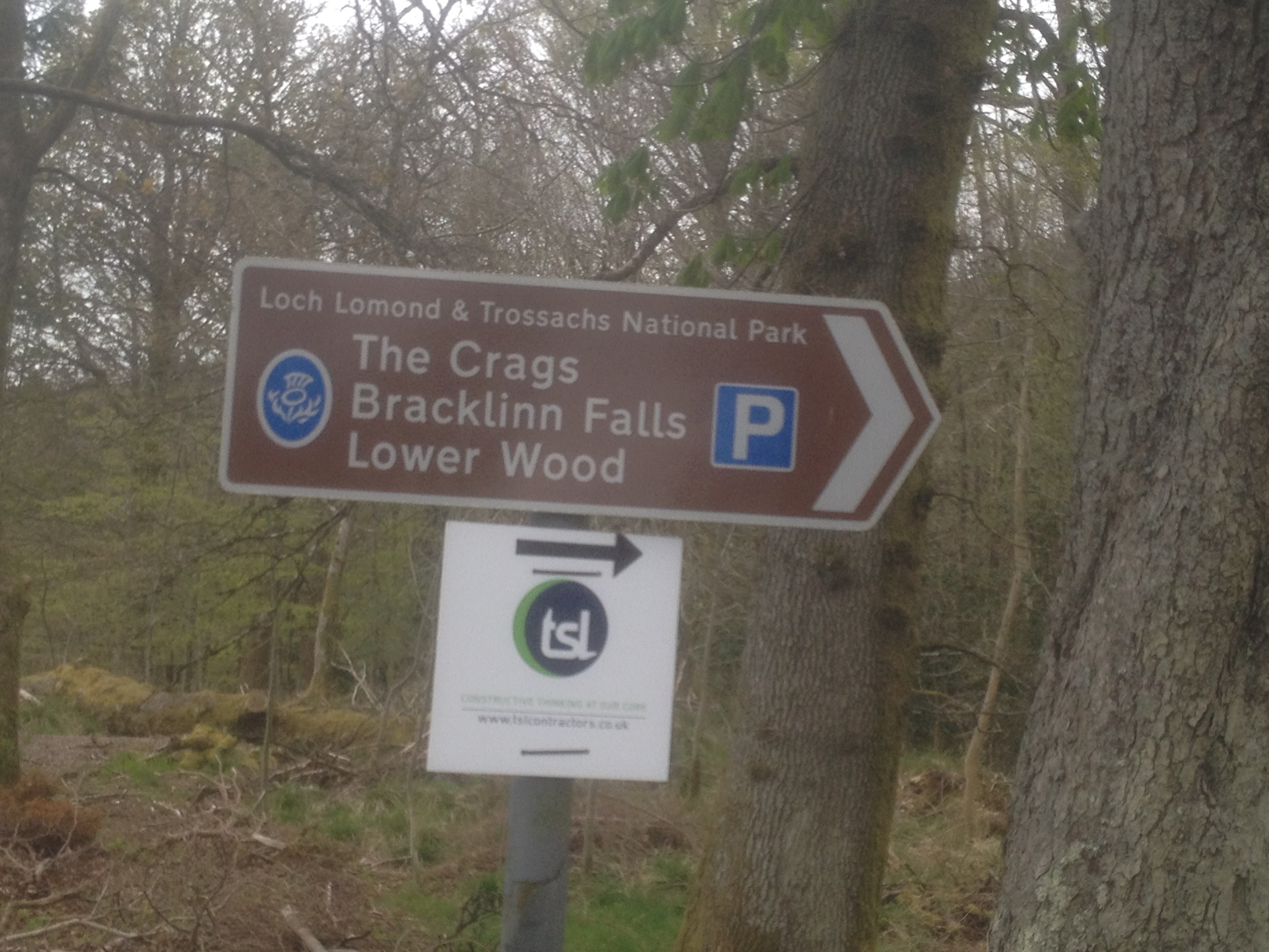
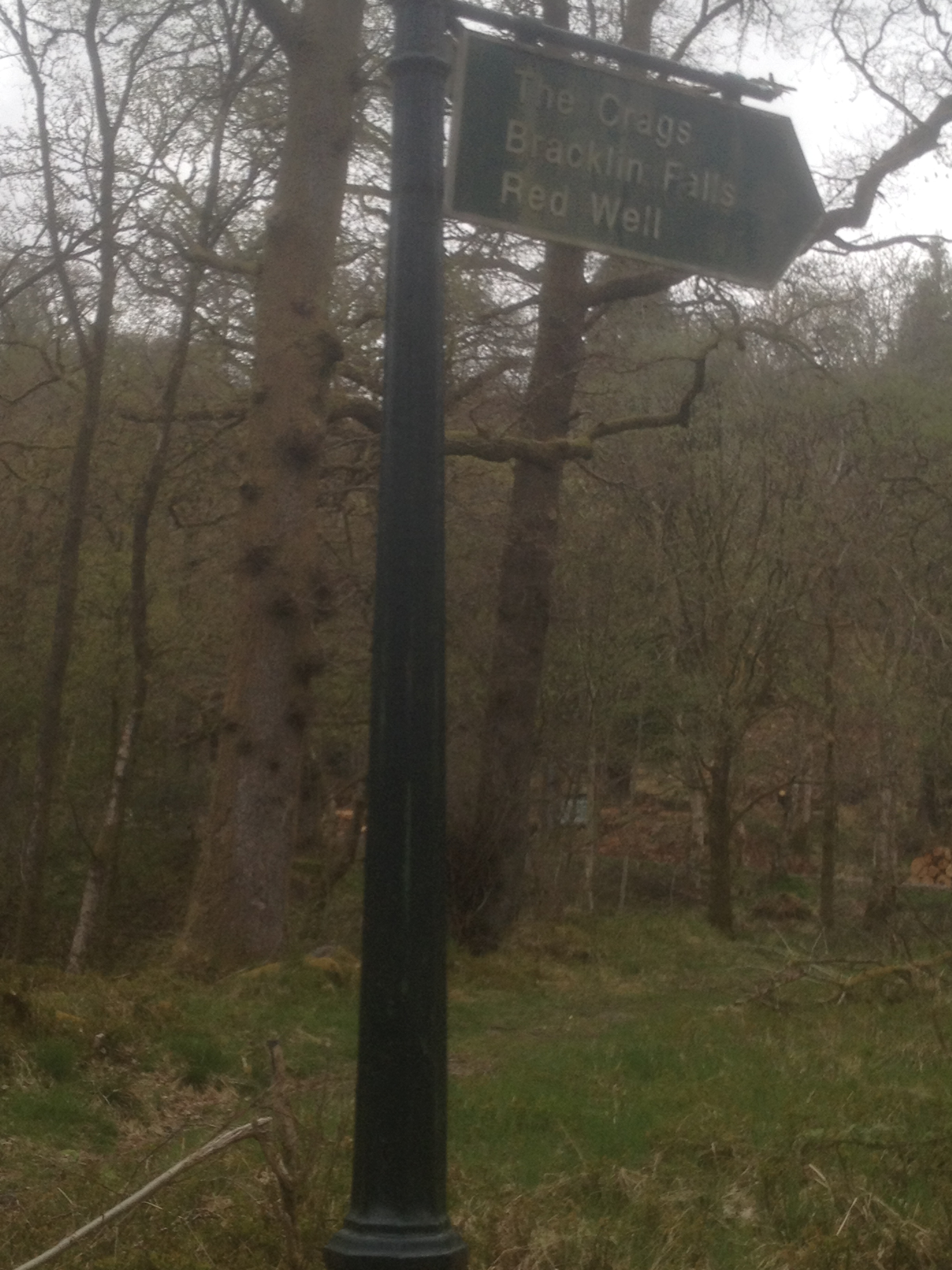
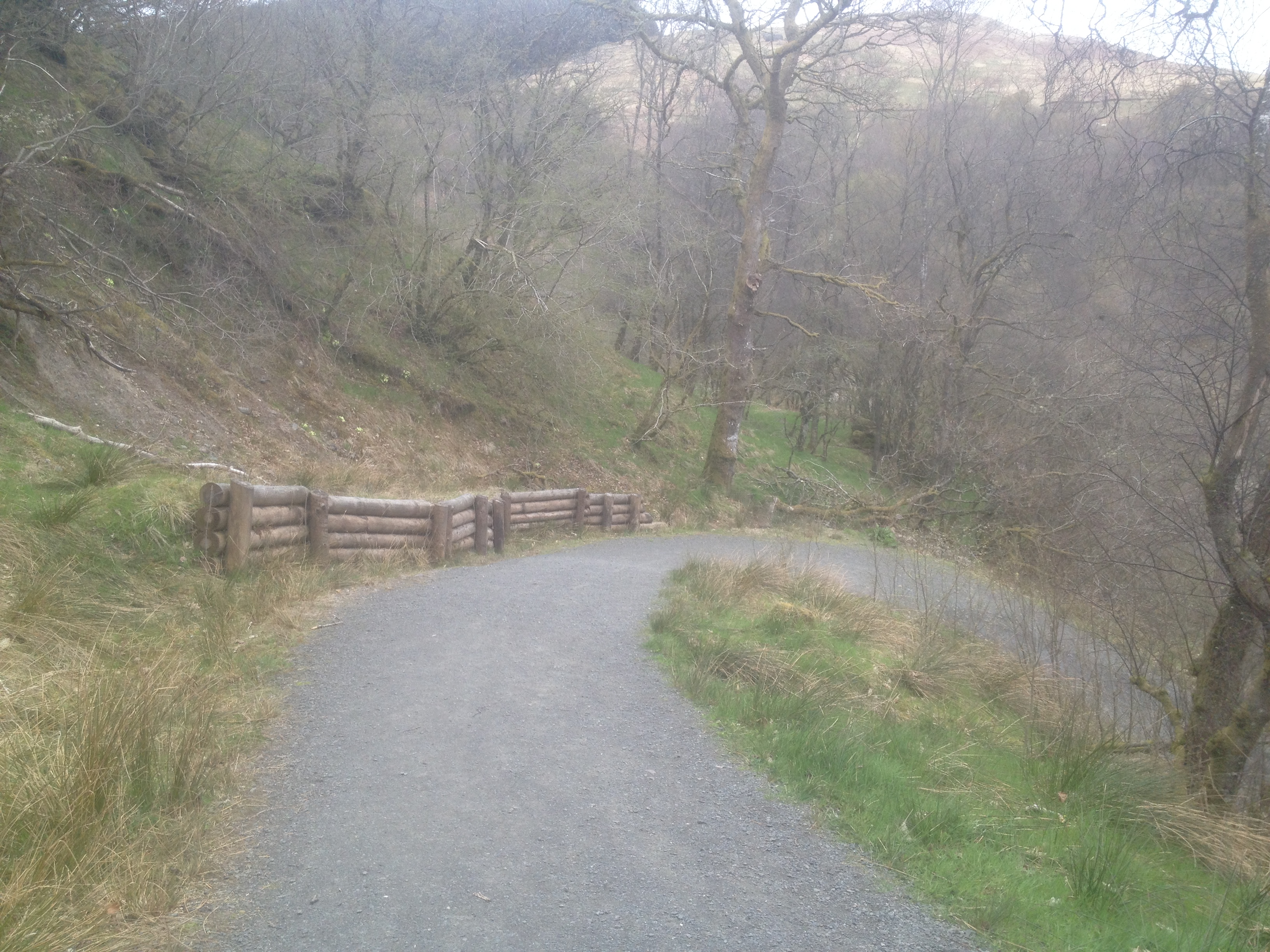
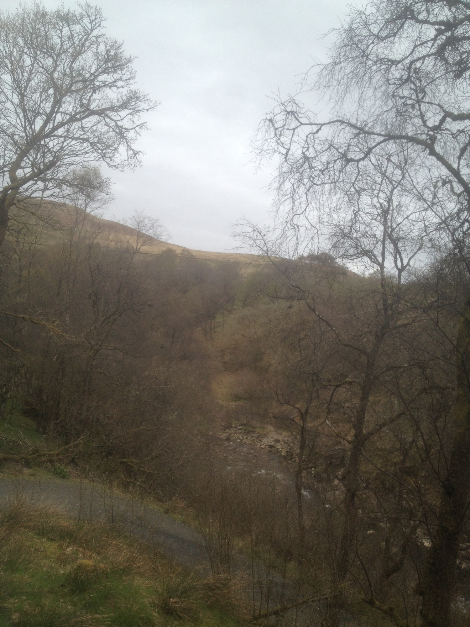
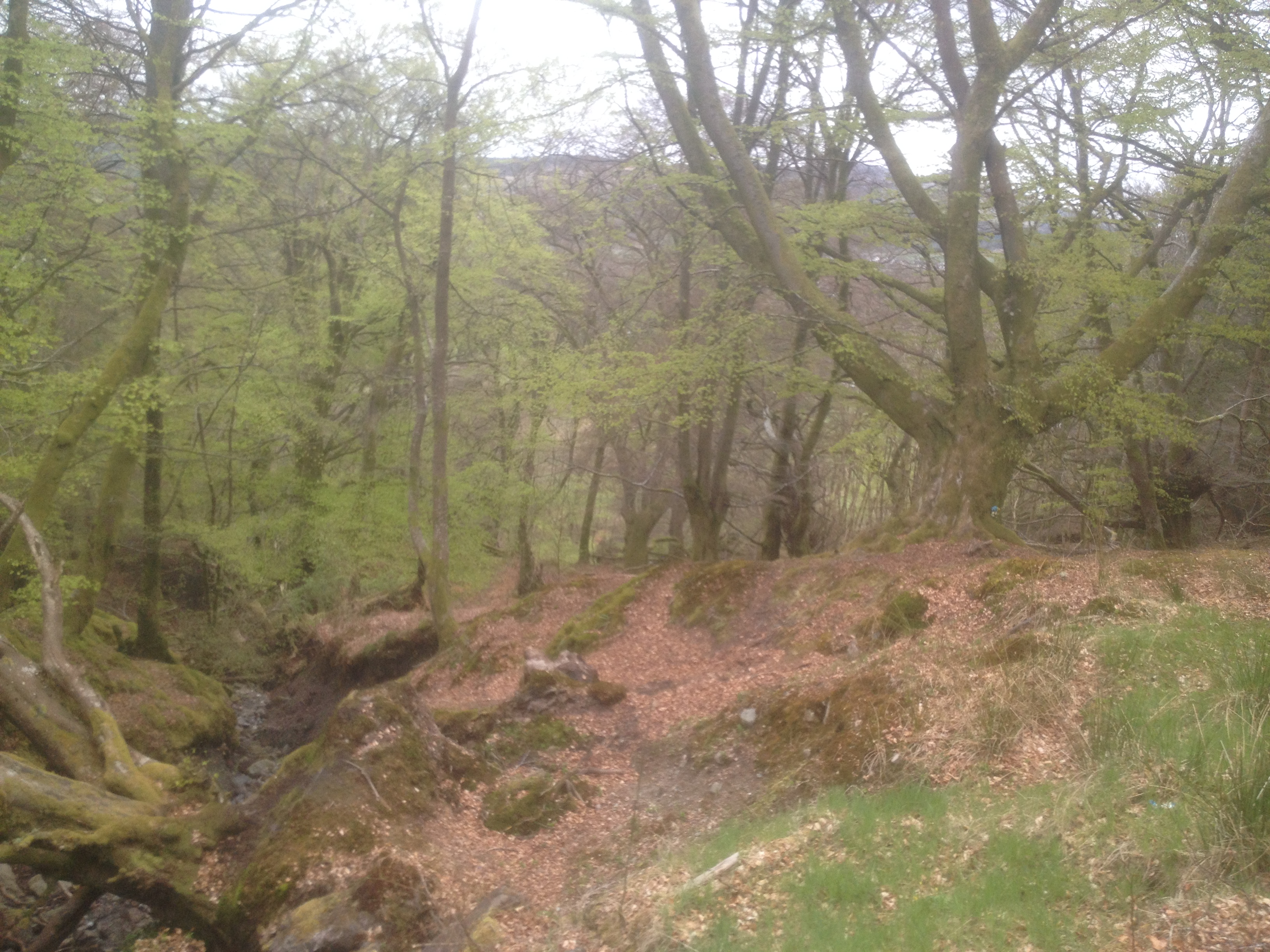
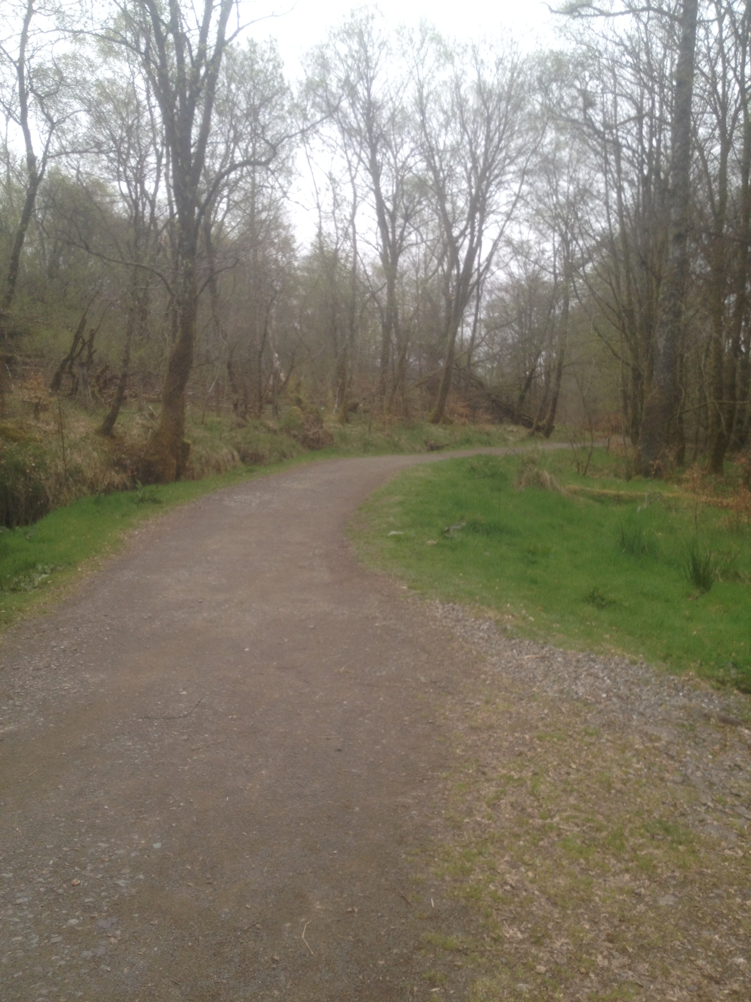
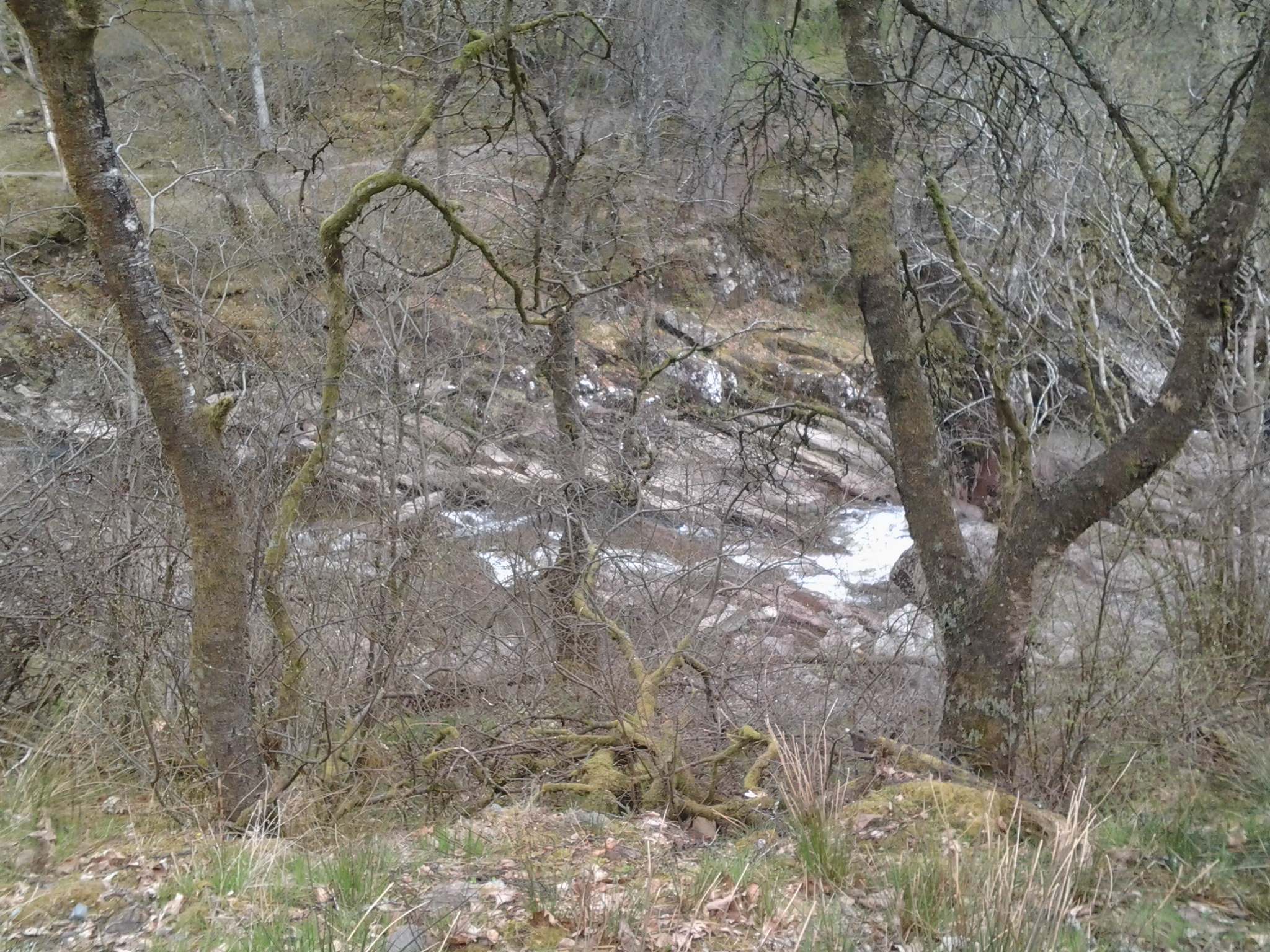
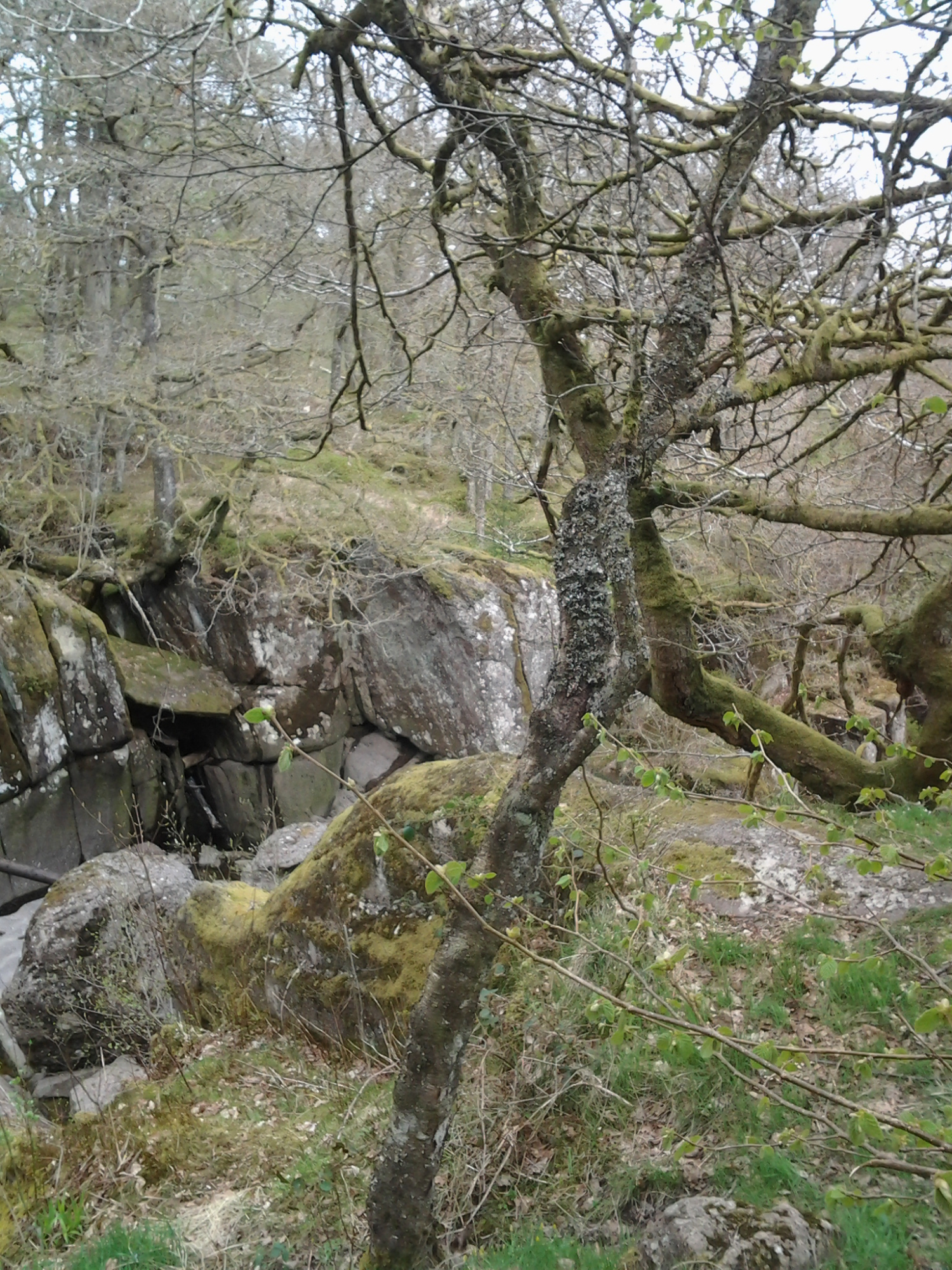
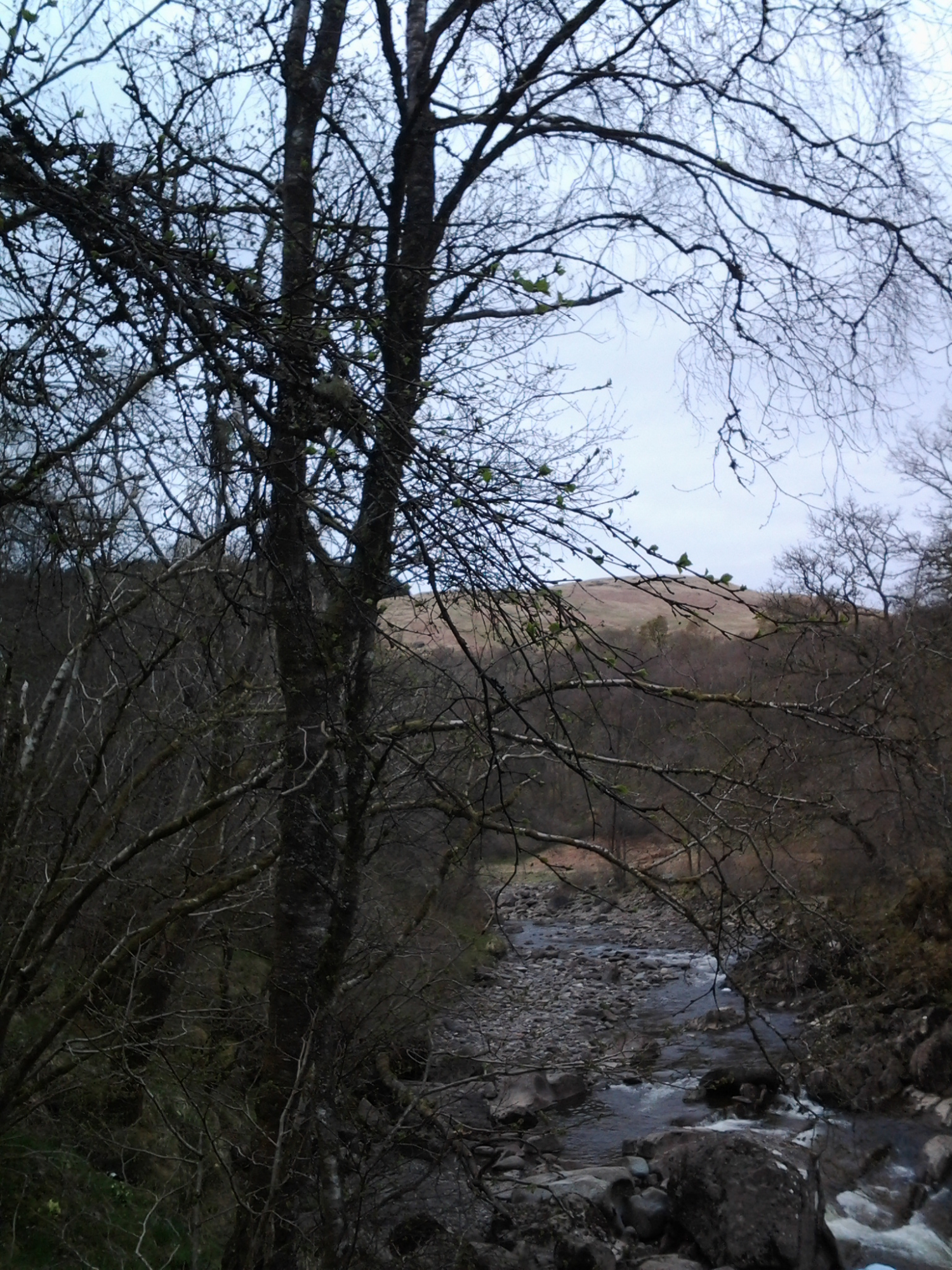
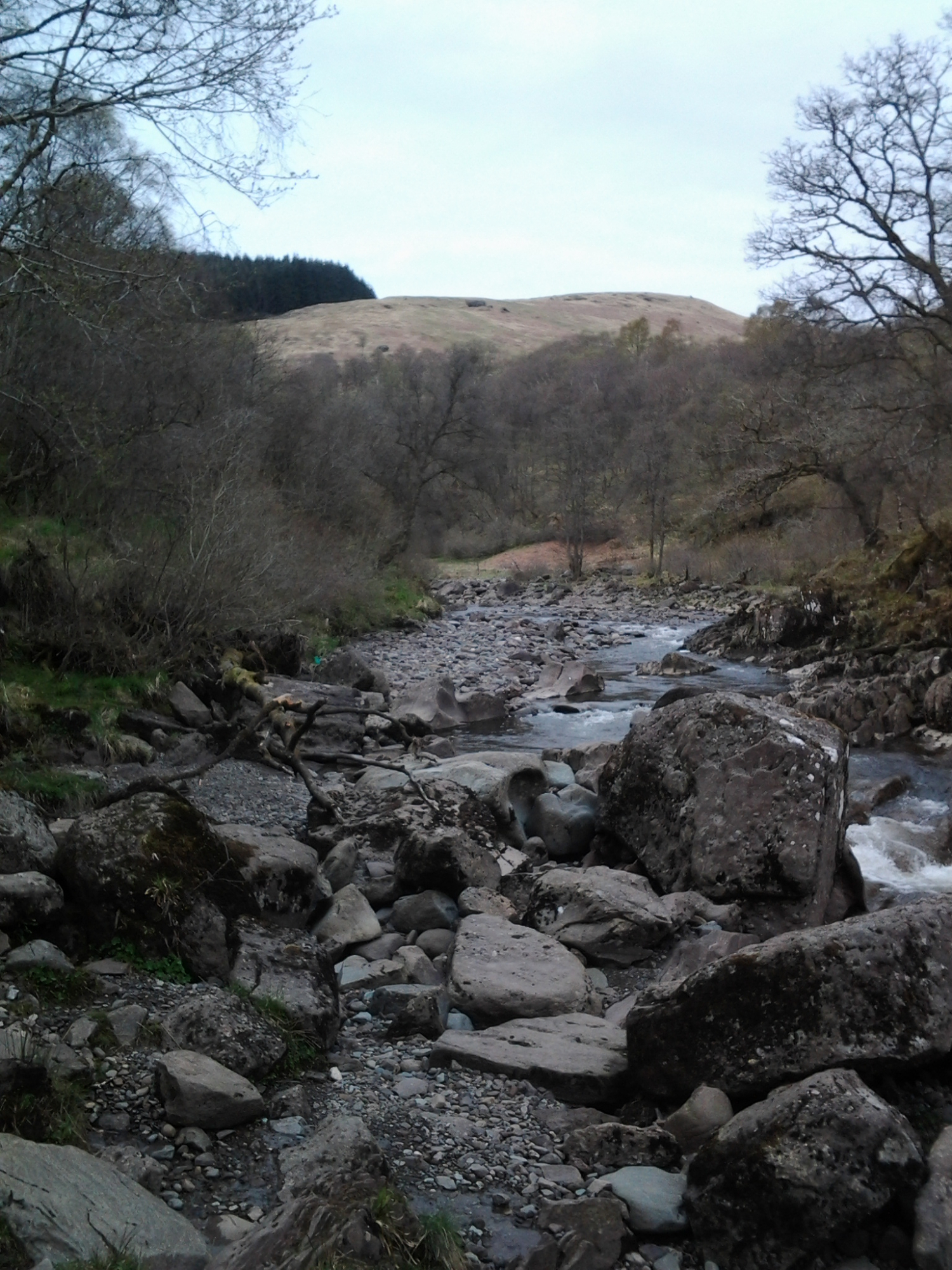
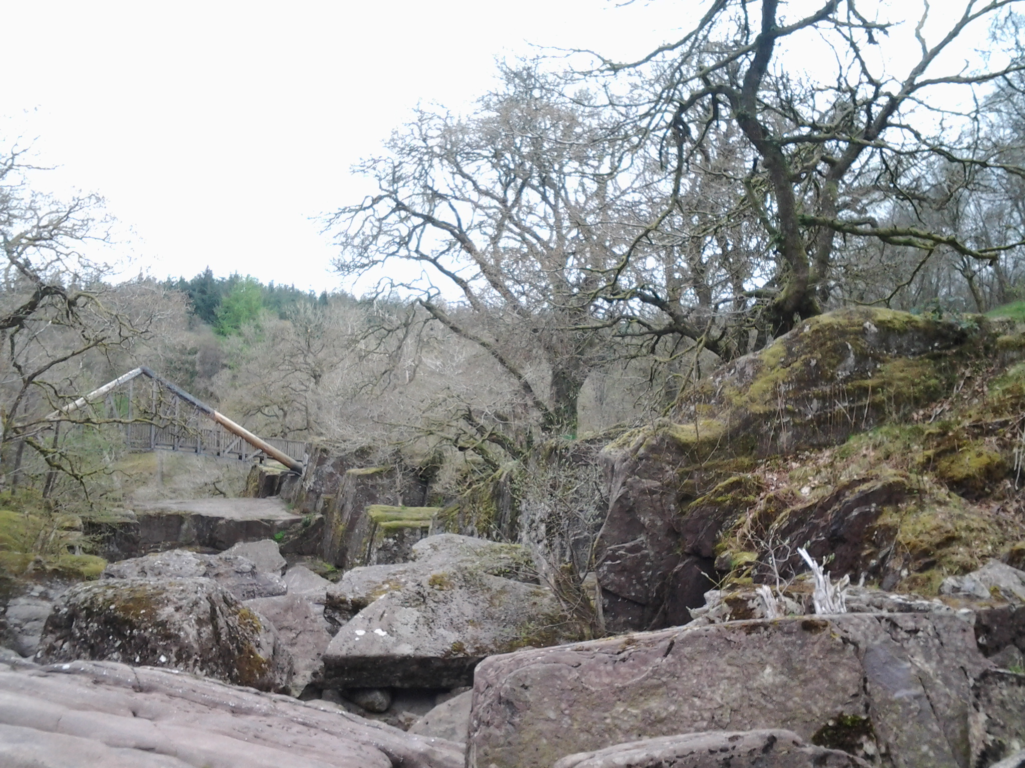
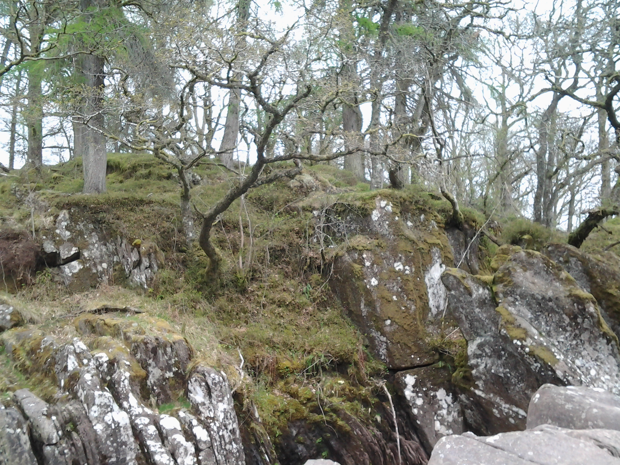
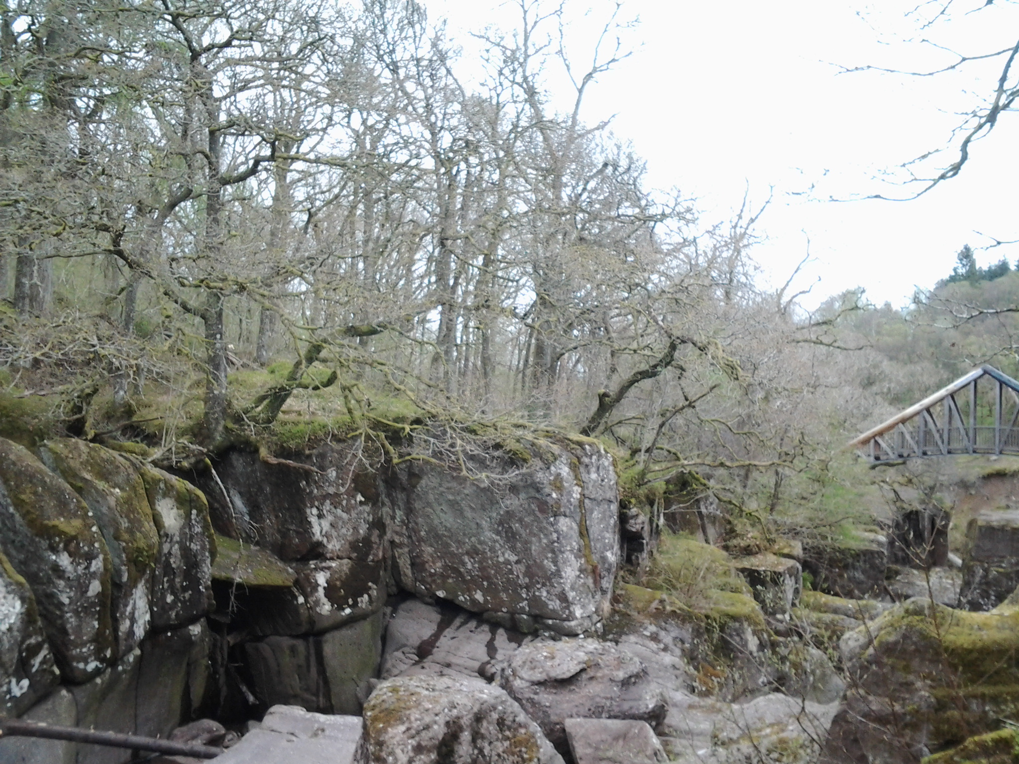
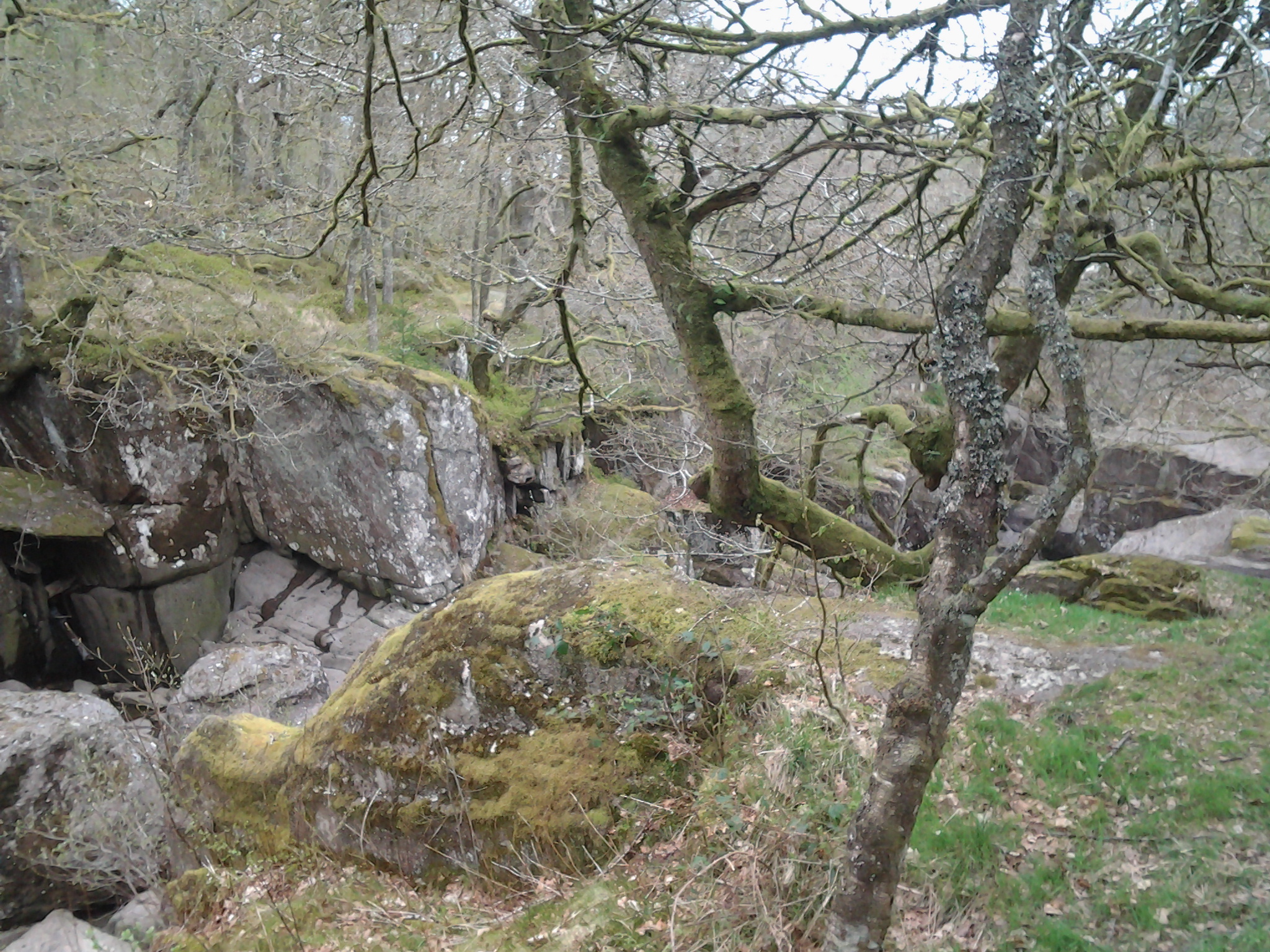
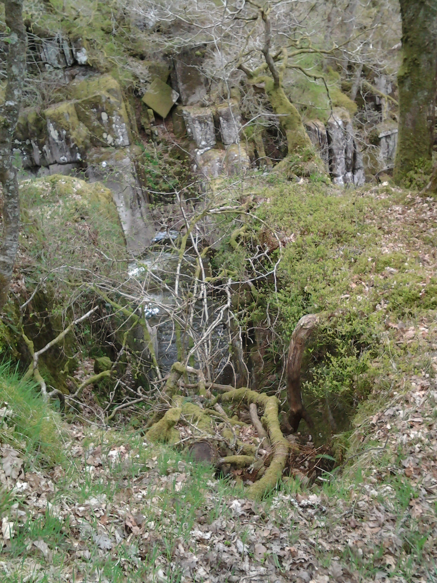
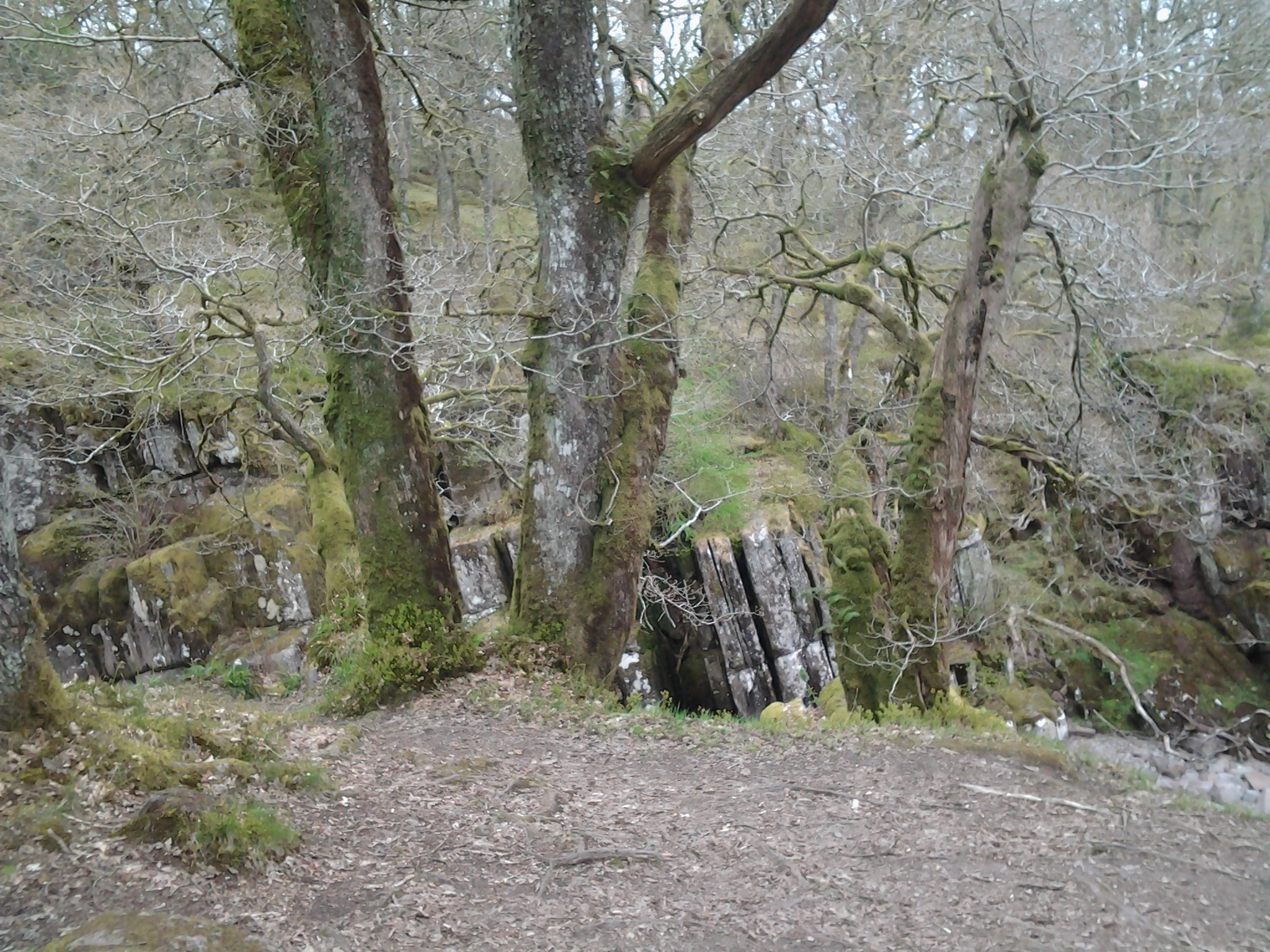
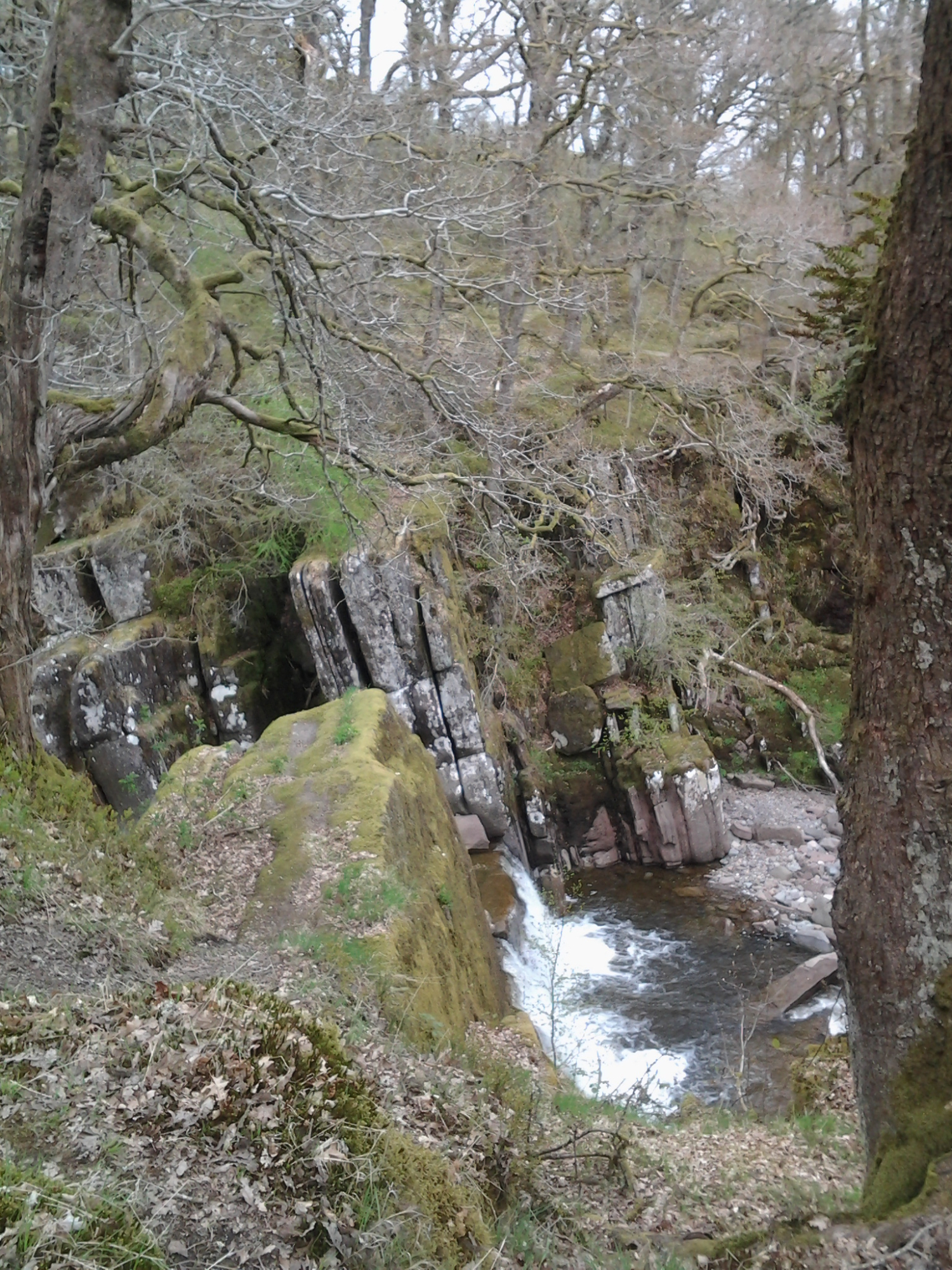
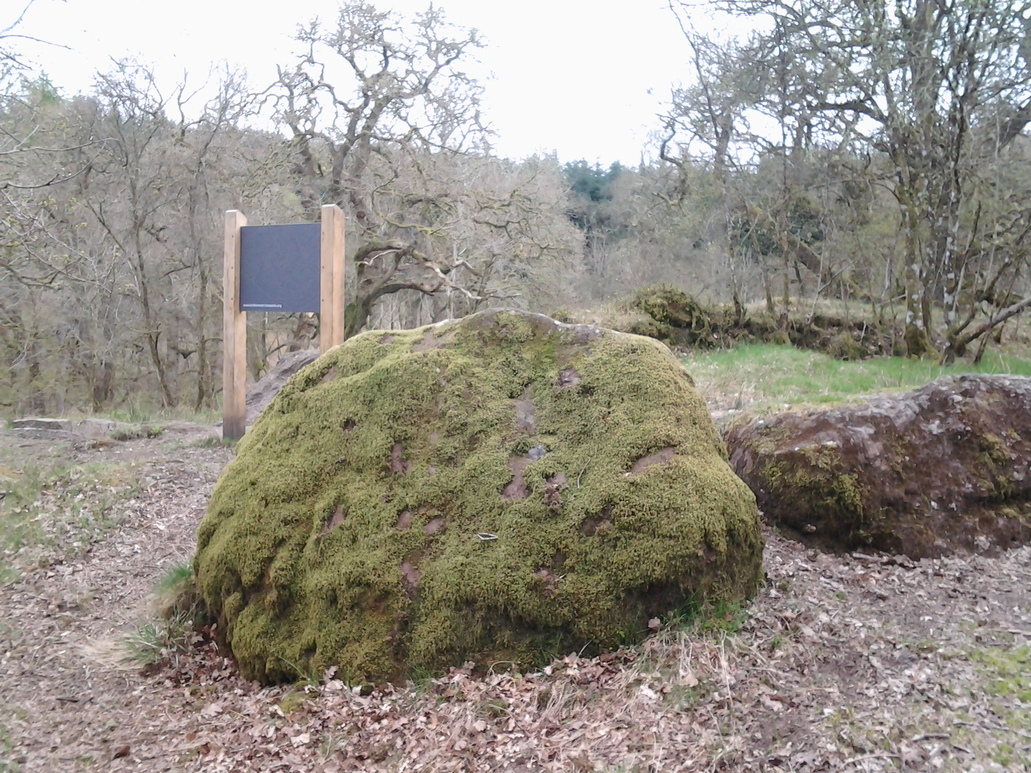
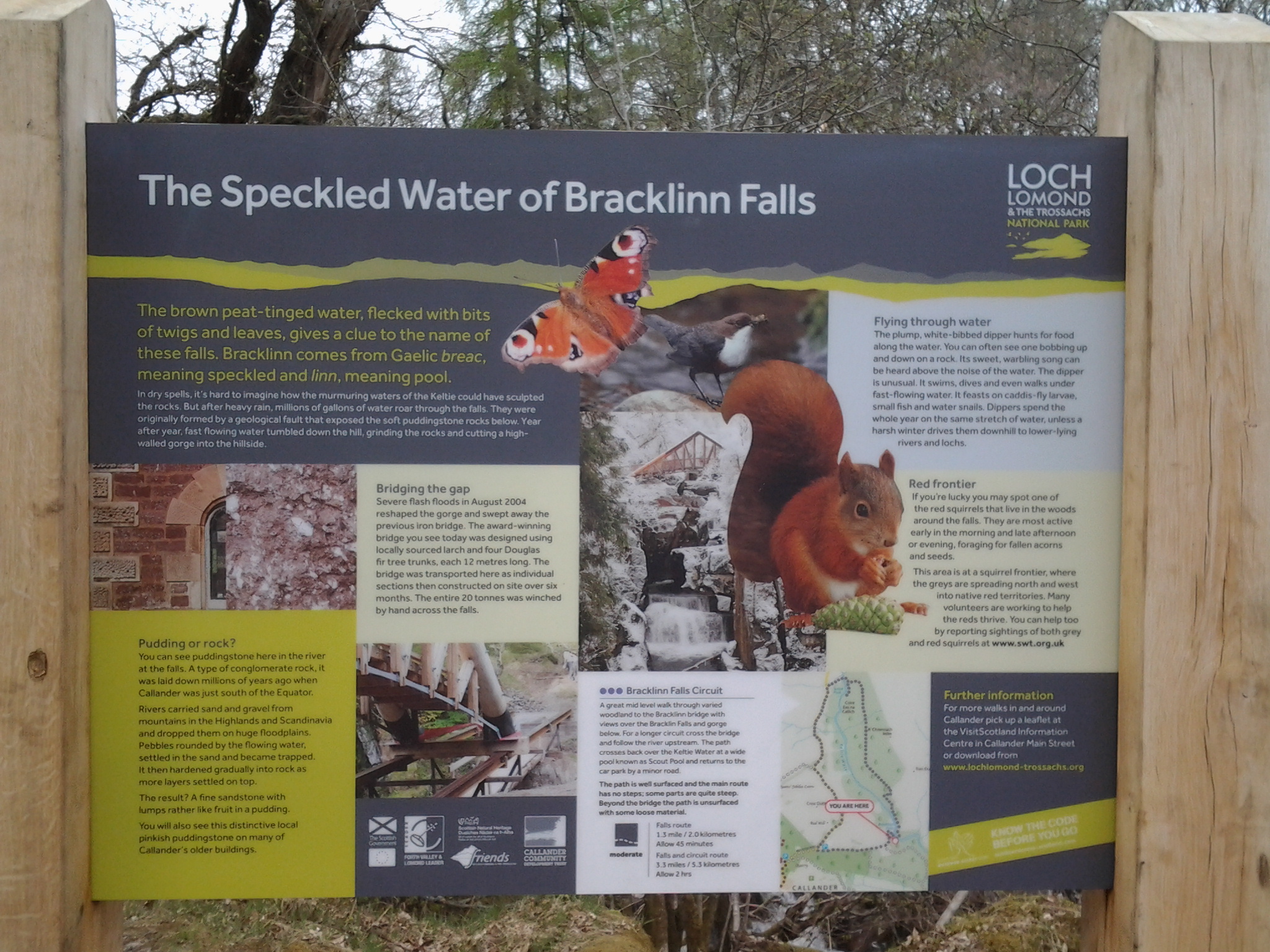
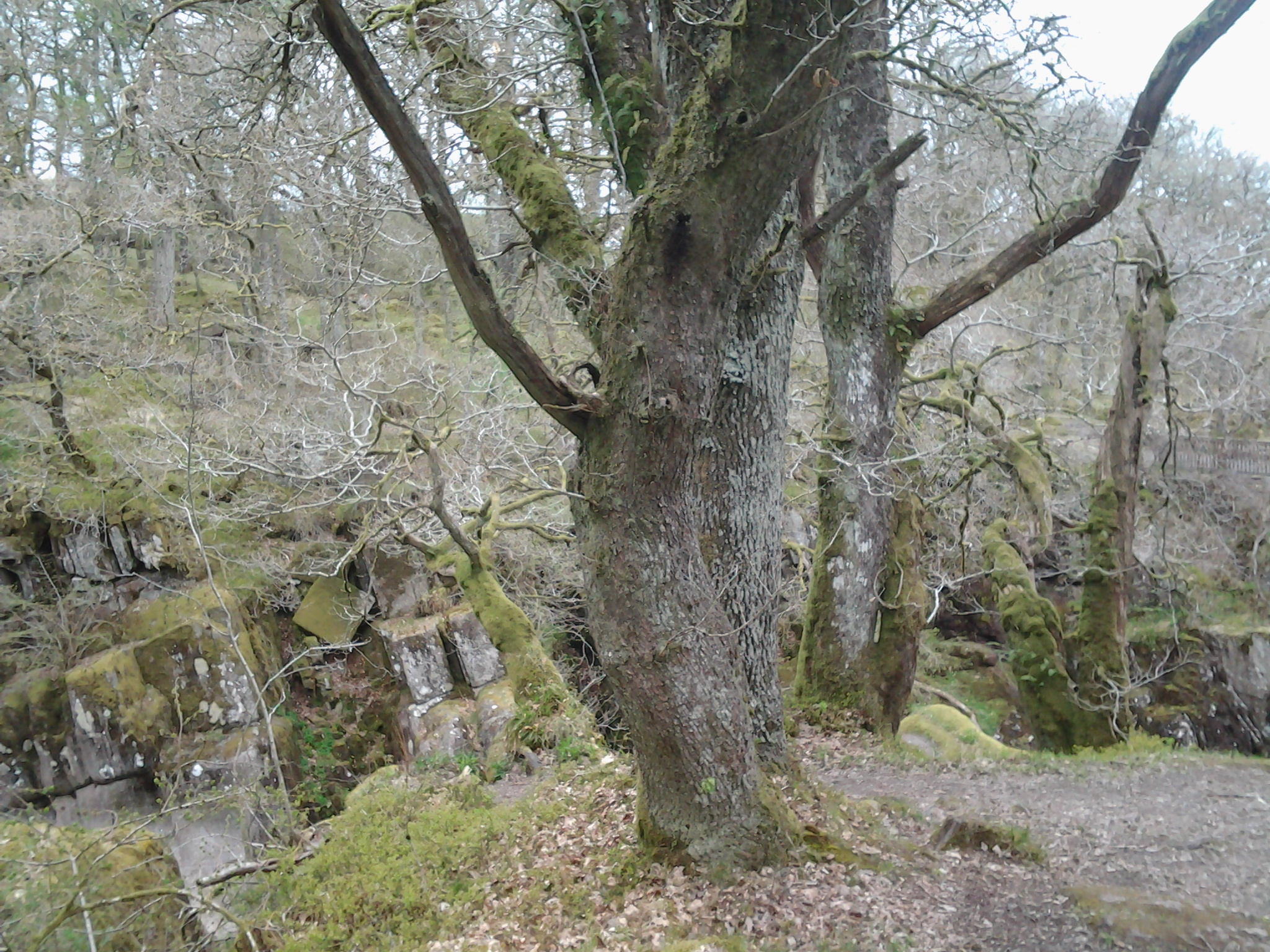
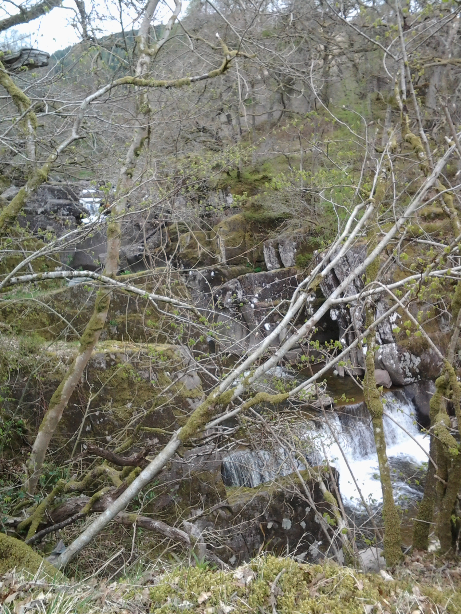
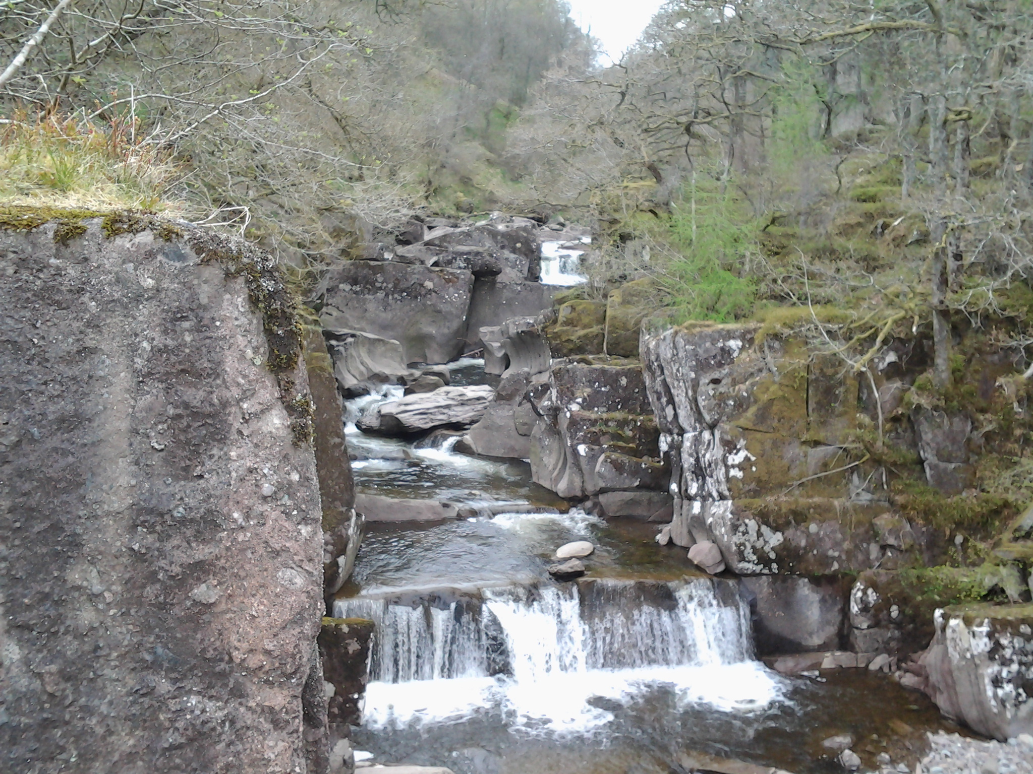
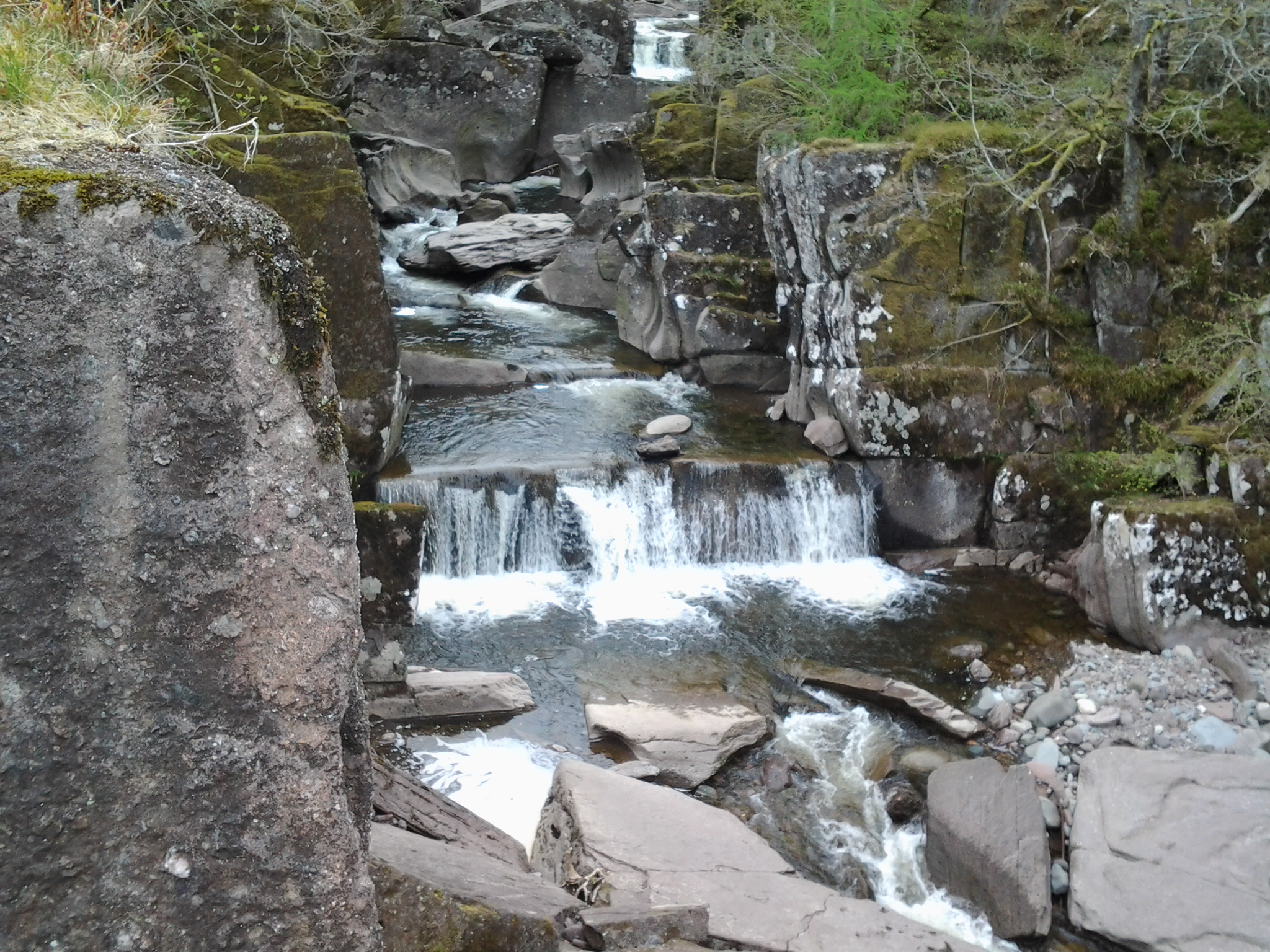
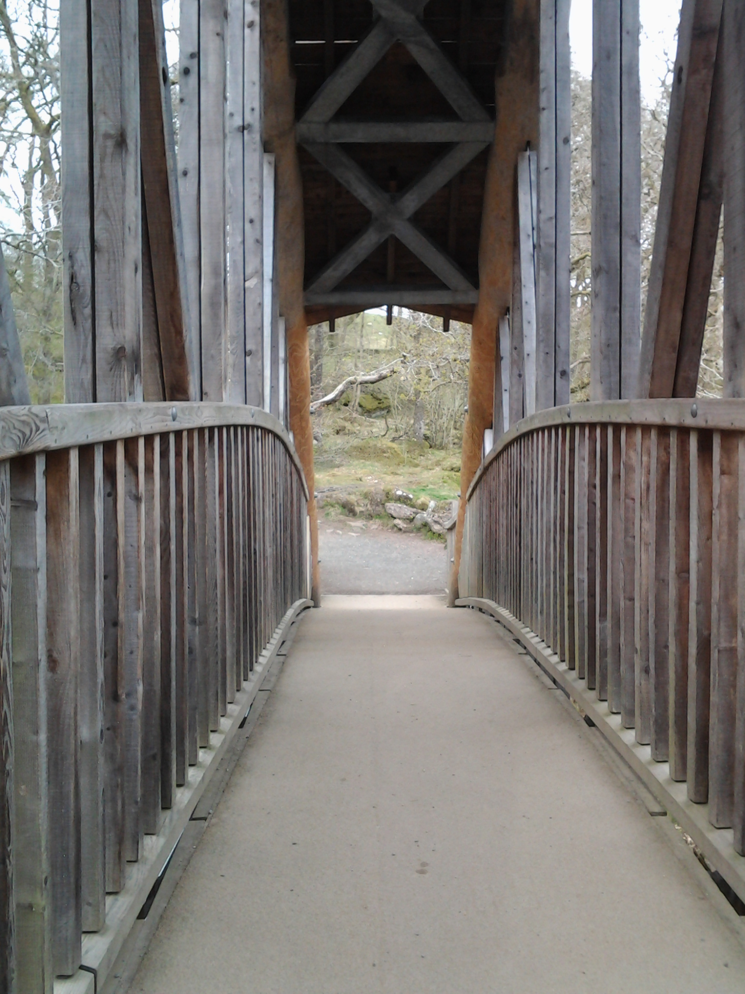
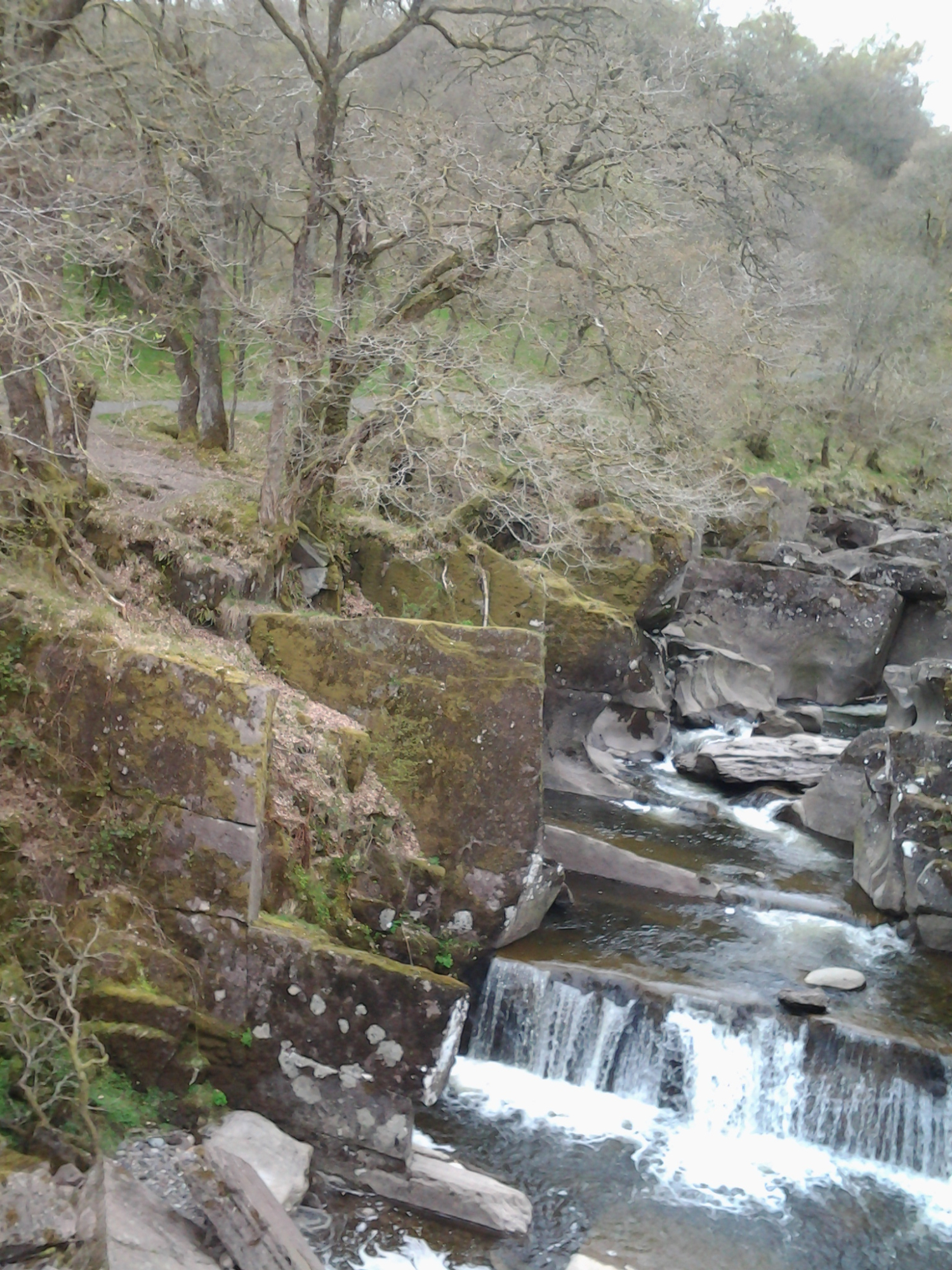
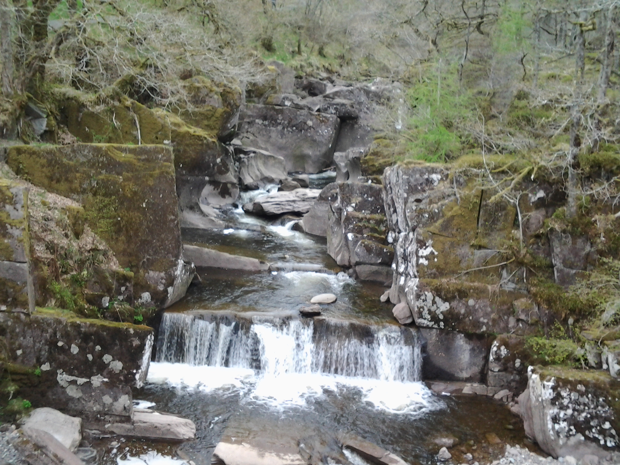
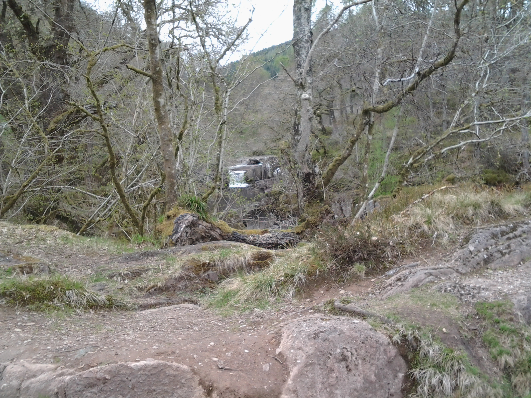
Bracklinn Falls - Callander - Scotland
The Bracklinn Falls, consists of a series of short falls, shelving rapids, and dark linns, formed by the Keltie Burn. The series of waterfalls north-east of Callander, Scotland on the course of the Keltie Water, where the river crosses the Highland Boundary Fault, and was visited by Queen Victoria,
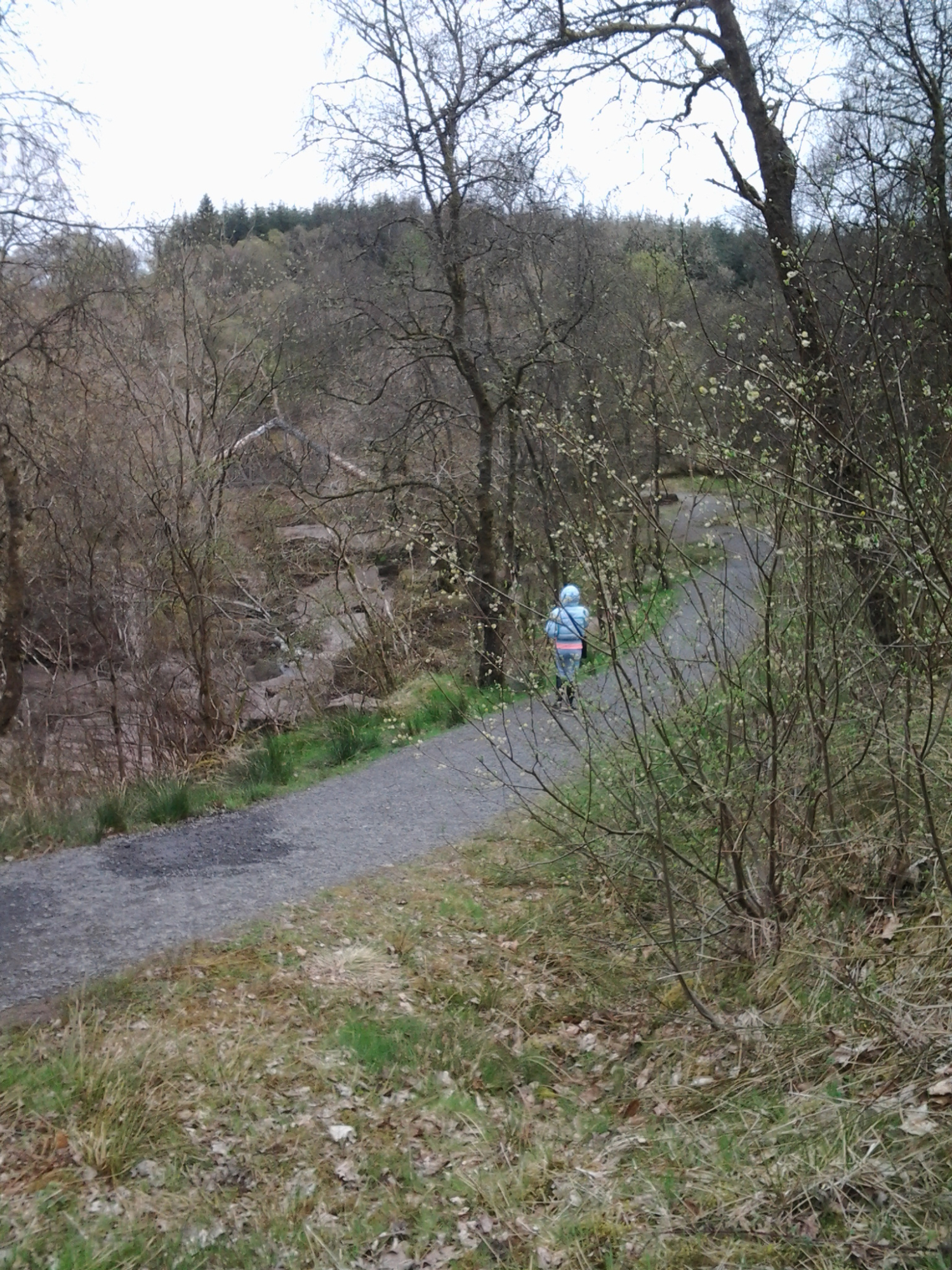
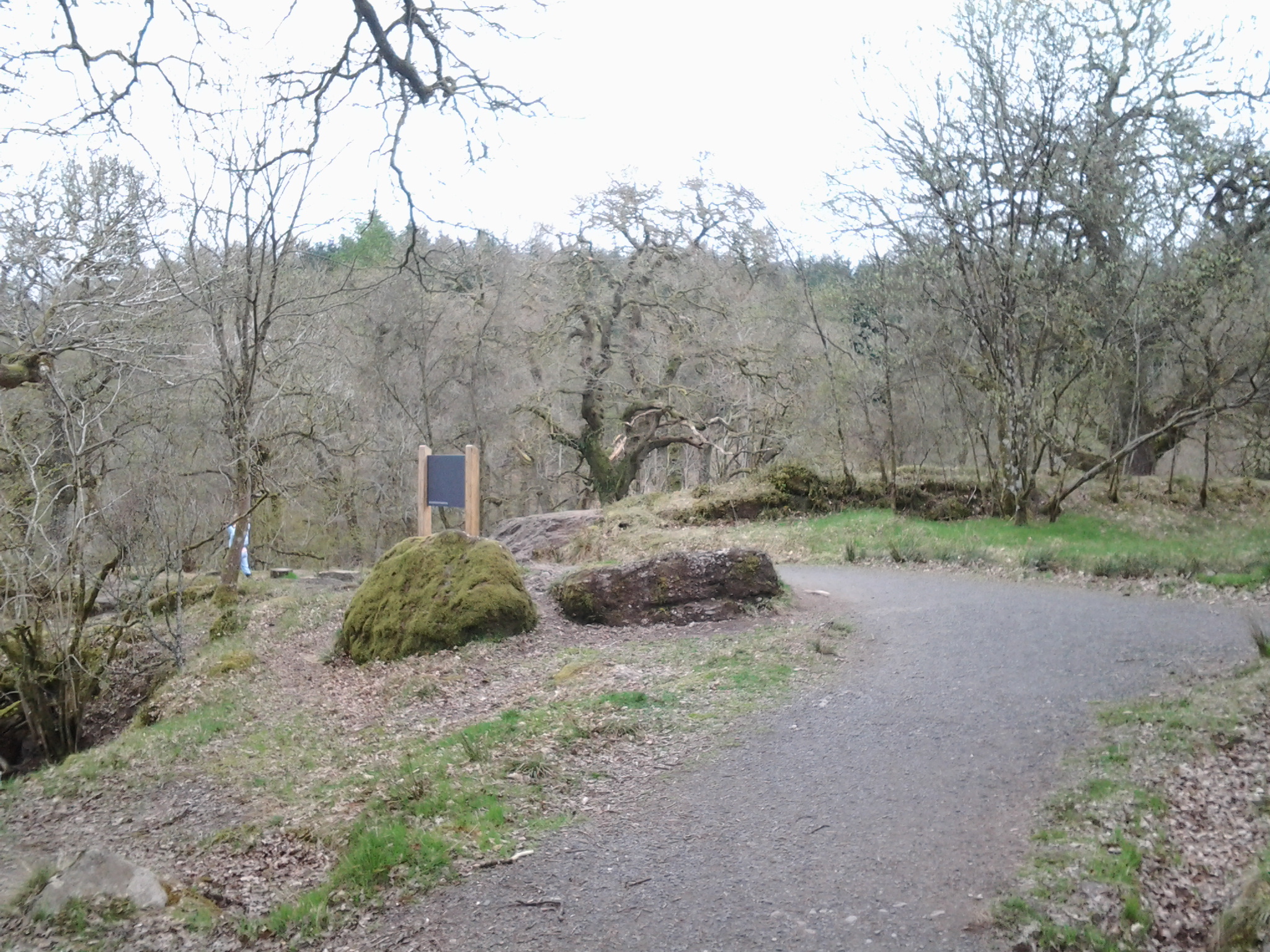
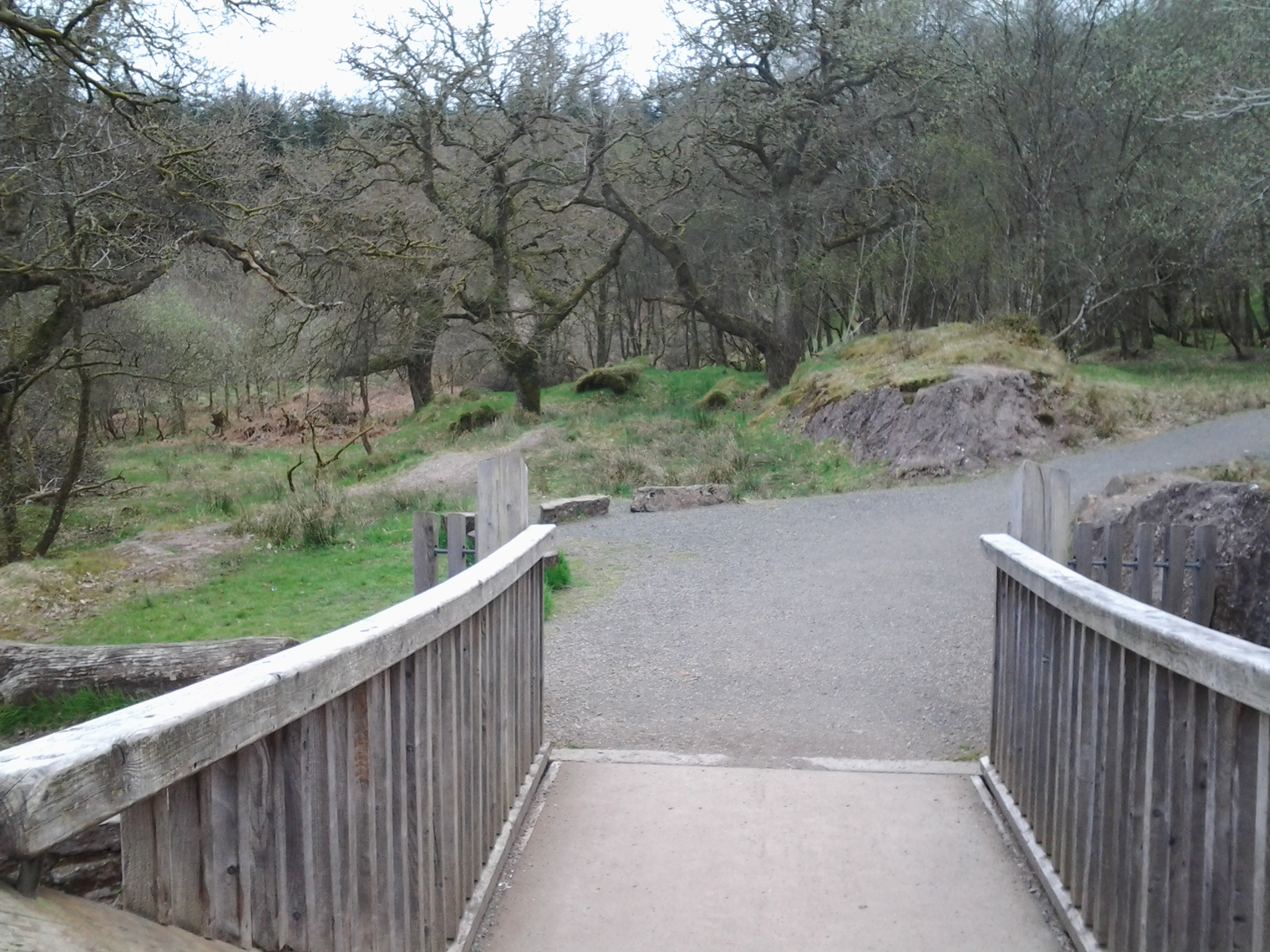
A circular walk taking in the idyllic Bracklinn Falls. Once over the bridge the route climbs through forestry before descending to the quiet upper glen. MAP
Go down the steps from the car park and follow the well-defined path through meadows filled with wild flowers, and natural woodland of alders and rowan trees. The path narrows as it reaches the Bracklinn Falls, and descends via a series of steep steps to the narrow bridge spanning the Falls. Cross the bridge and take in the views of the Falls from the rocky outcrops. More HERE
On leaving the falls and returrning to the village you will see another free car park located near to the golf club entrance which provides a good starting point for woodland walks that will provide amazing views from Callander Crags of the mountains to the north and west over Callander and the Trossachs towards Ben Lomond and Loch Lomond, as well as towards Doune and Stirling.
Joseph Mallord William Turner Sketch - 1834 - HERE